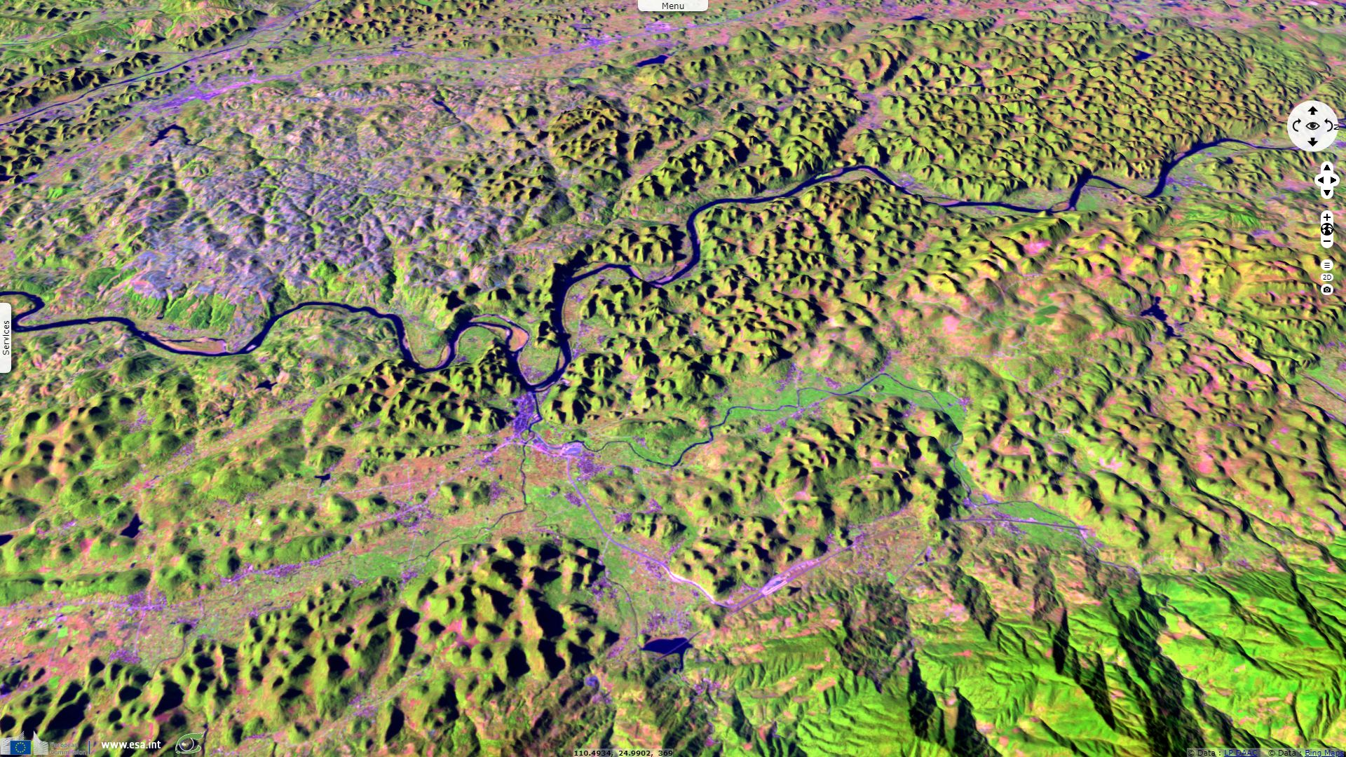
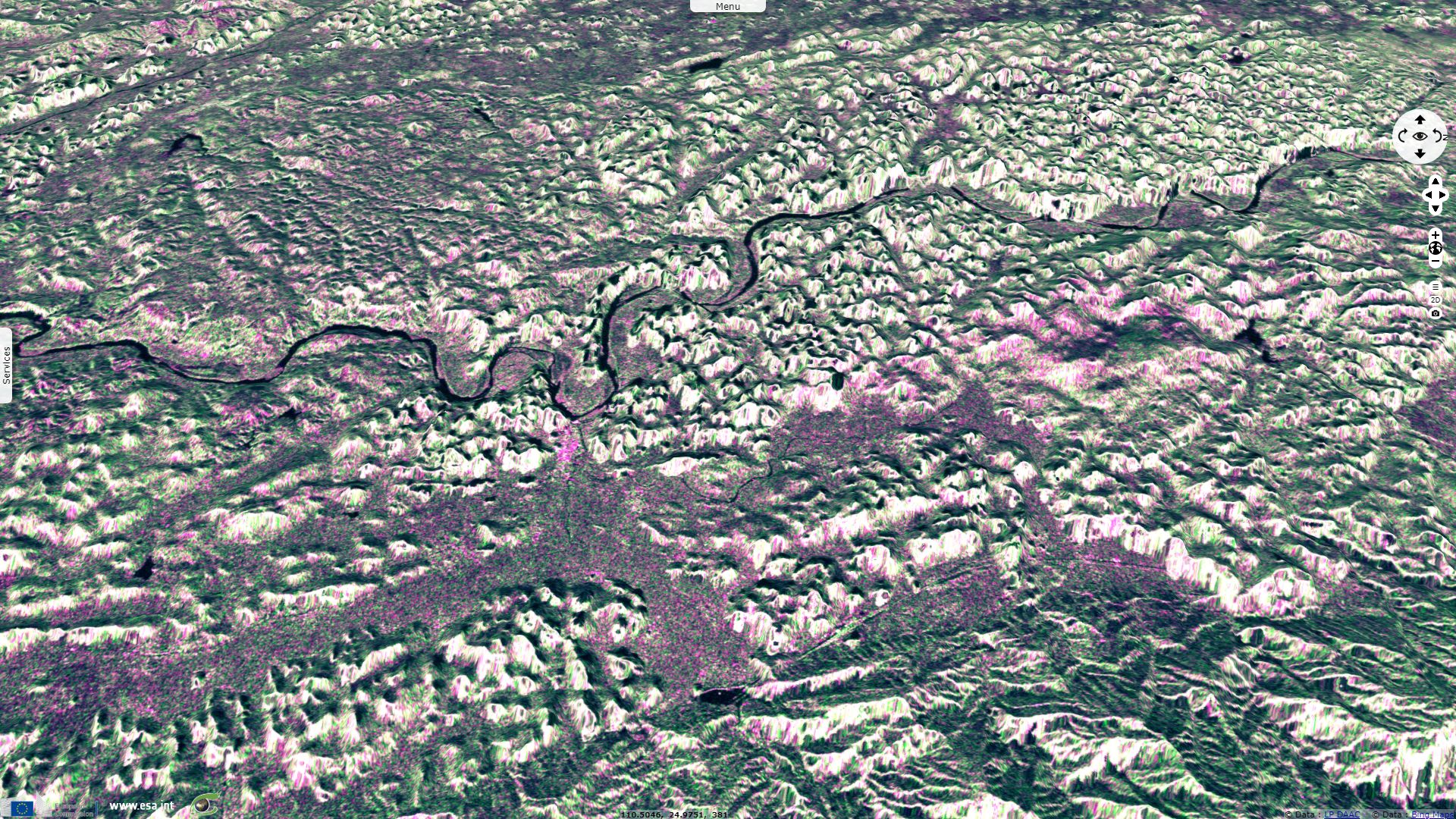
Karst topography in Guilin
Sentinel-1 CSAR IW acquired on 10 February 2015 at 22:32:47 UTC
Sentinel-1 CSAR IW acquired on 05 March 2017 at 10:42:19 UTC
Sentinel-2 MSI acquired on 29 November 2018 at 03:10:51 UTC
Sentinel-1 CSAR IW acquired on 05 March 2017 at 10:42:19 UTC
Sentinel-2 MSI acquired on 29 November 2018 at 03:10:51 UTC
Keyword(s): Land, relief, urban, karst topography, river, China.
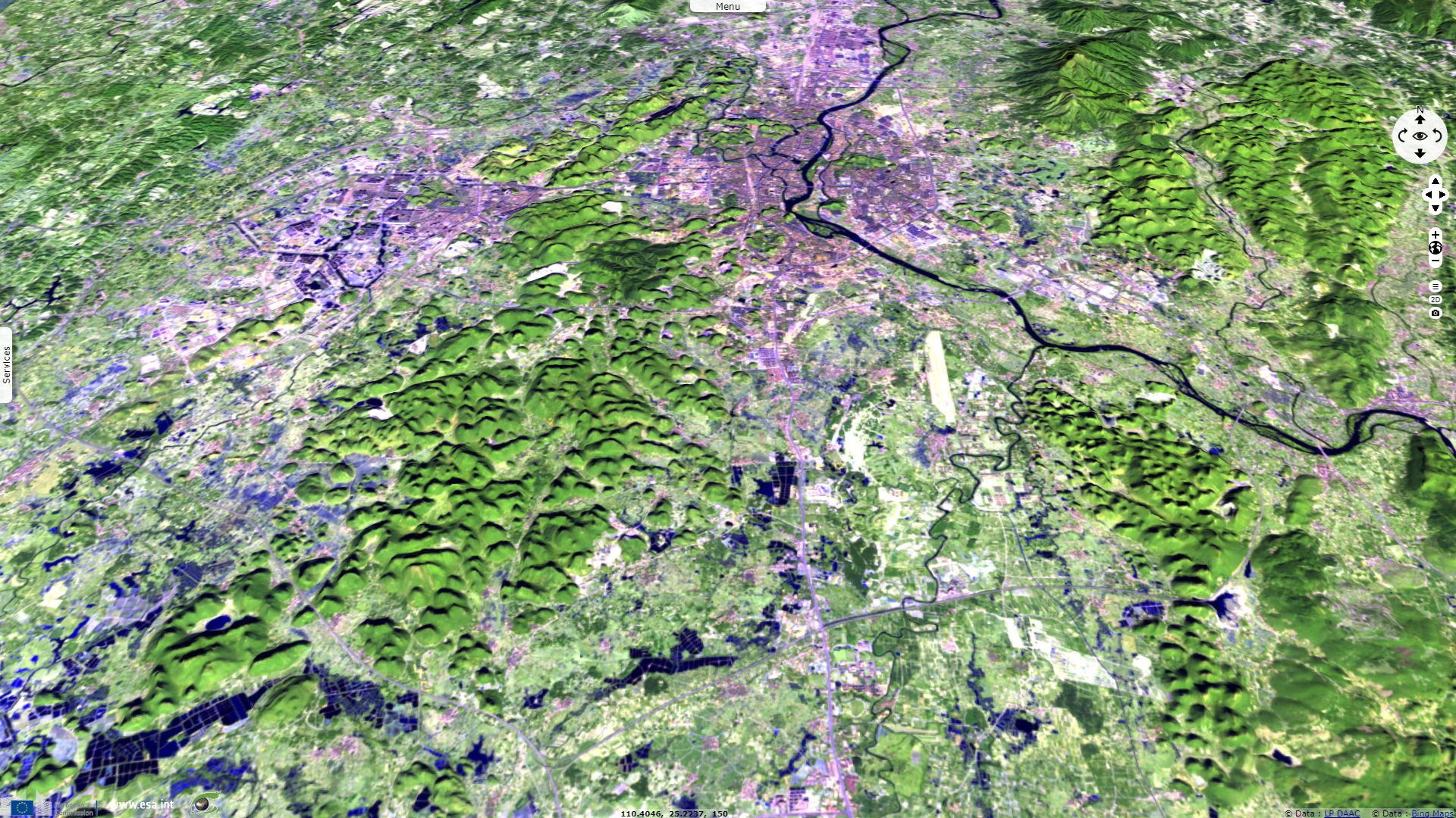
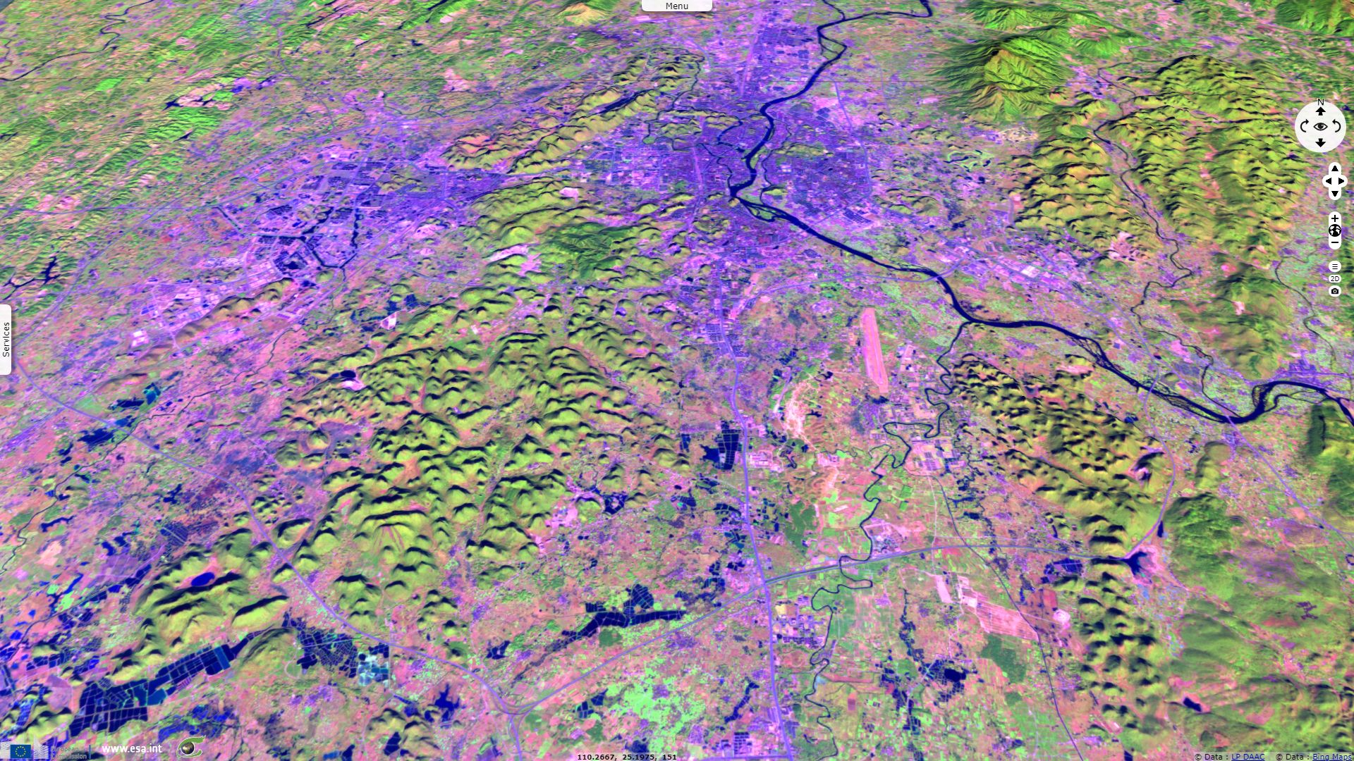
Most of these green limestone hills are higher than they are large, they are often interspersed by caves.
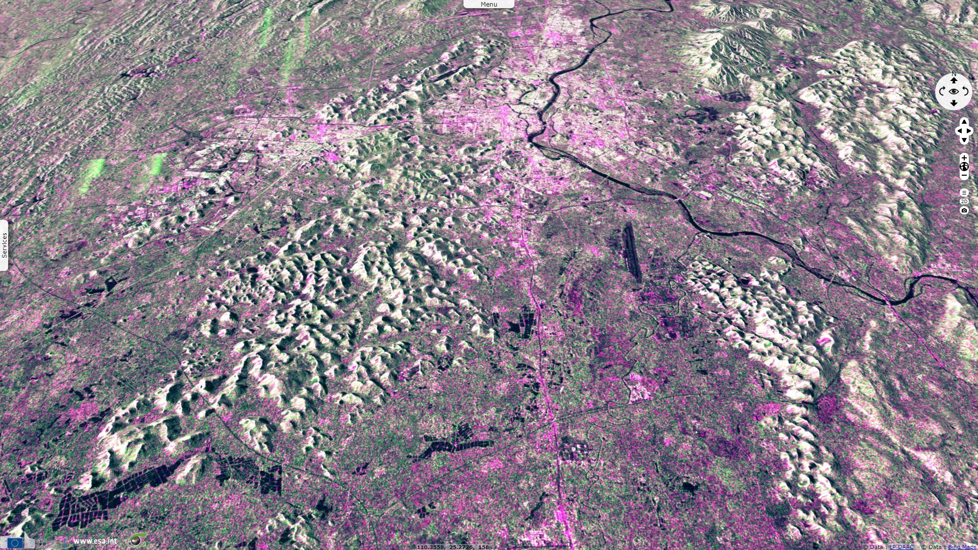
Ridgelines & talwegs remain still between optical images, ascending & descending radar images. Illuminated and shadowed sides still differ between acquisitions using the sunlight, east or west-looking radar beams as a source. As a result, images superimpose but bright and dark facets should vary.
The views expressed herein can in no way be taken to reflect the official opinion of the European Space Agency or the European Union.
Contains modified Copernicus Sentinel data 2026, processed by VisioTerra.
Contains modified Copernicus Sentinel data 2026, processed by VisioTerra.
| More on European Commission space: |  |
 |
 |
||||
| More on ESA: | |
|
|
S-1 website | S-2 website | S-3 website | |
| More on Copernicus program: | |
|
|
Scihub portal | Cophub portal | Inthub portal | Colhub portal |
| More on VisioTerra: | |
|
|
Sentinel Vision Portal | Envisat+ERS portal | Swarm+GOCE portal | CryoSat portal |