Pacaya's lava flow threatens El Patrocinio, Guatemala
Sentinel-2 MSI acquired on 11 October 2020
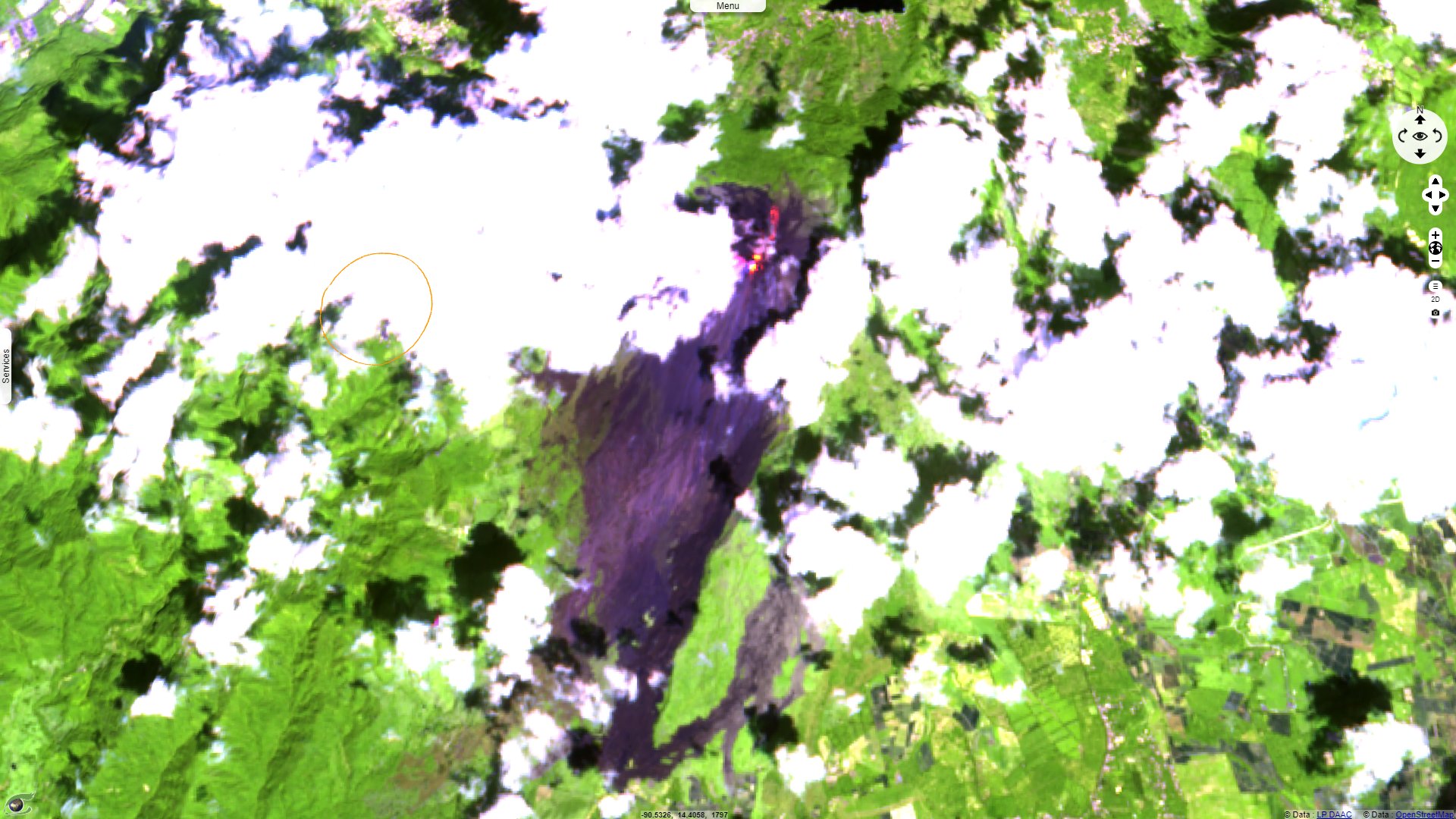
Sentinel-2 MSI acquired on 08 February 2021
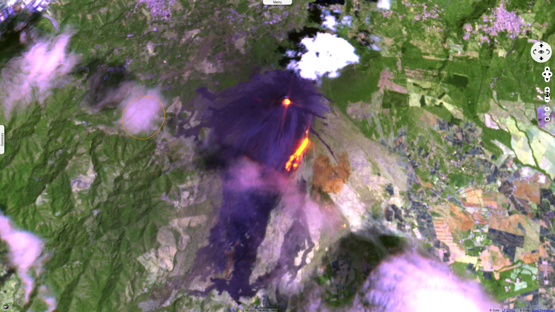
Sentinel-2 MSI acquired on 20 March 2021
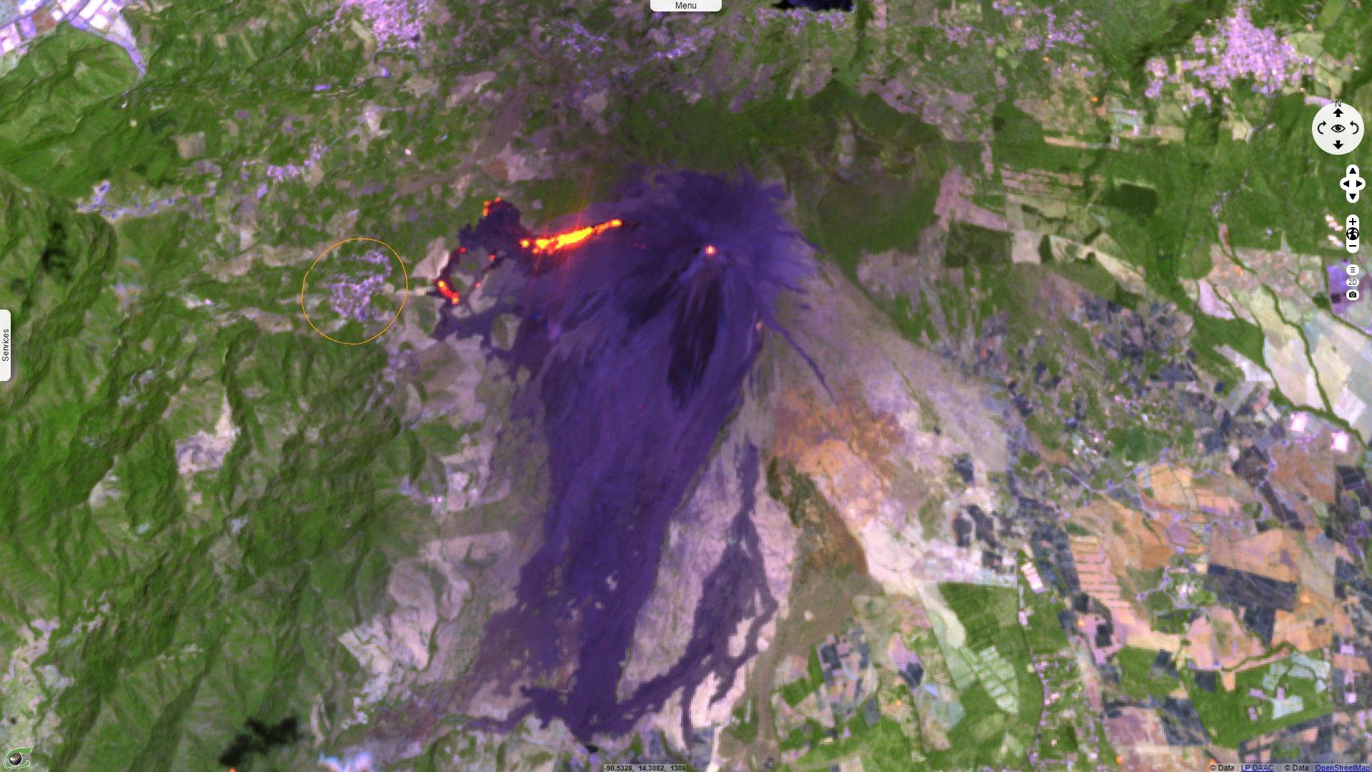
Sentinel-2 MSI acquired on 04 April 2021
Keyword(s): Geohazard, emergency, natural disaster, volcano, lava flow, urban planning, Guatemala.
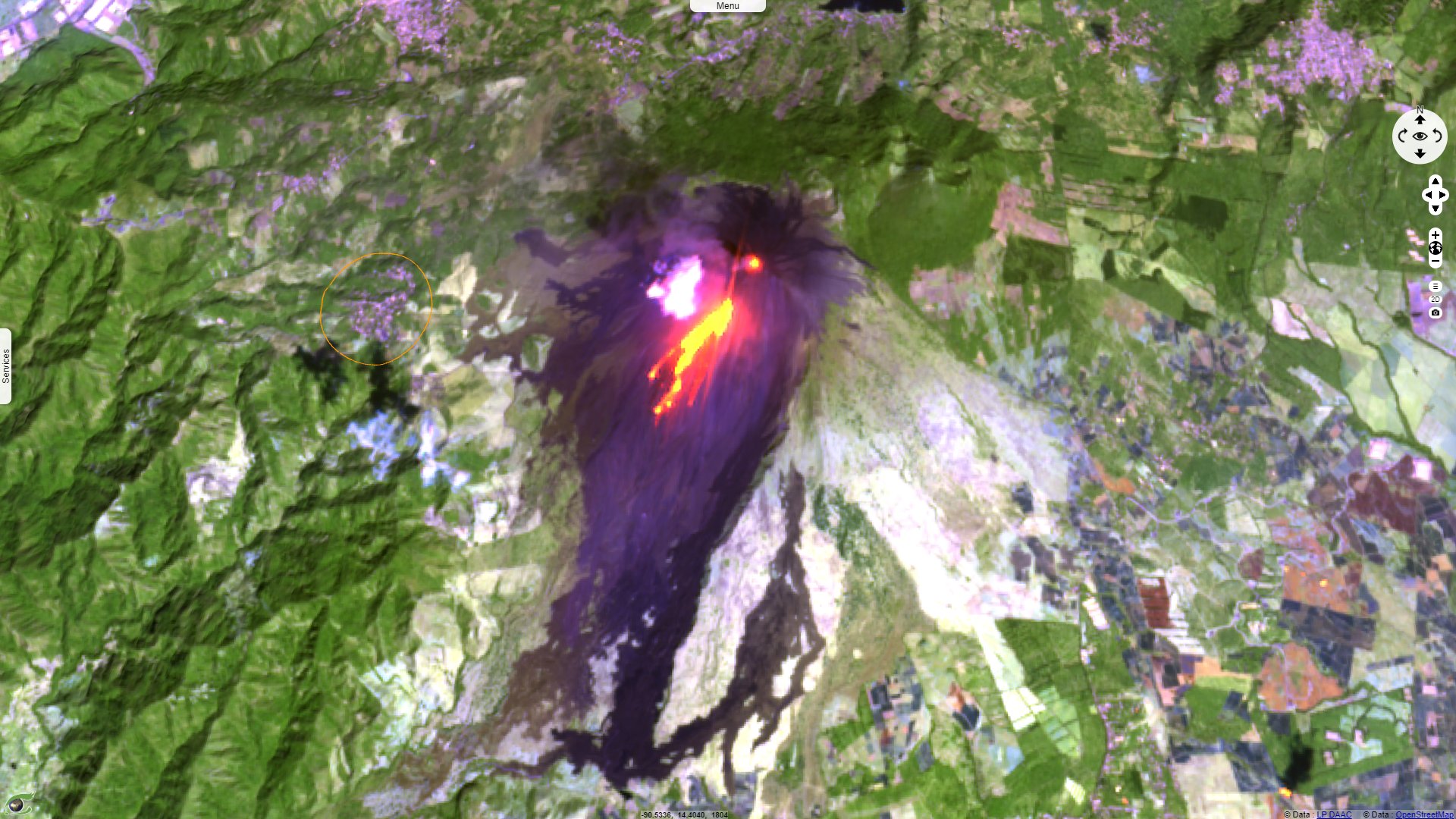
Over 21 hamlets have been asked to evacuate. Most relied instead on folk traditions & their own knowledge of Pacaya to judge when to go.
The views expressed herein can in no way be taken to reflect the official opinion of the European Space Agency or the European Union.
Contains modified Copernicus Sentinel data 2026, processed by VisioTerra.
Contains modified Copernicus Sentinel data 2026, processed by VisioTerra.
| More on European Commission space: |  |
 |
 |
||||
| More on ESA: | |
|
|
S-1 website | S-2 website | S-3 website | |
| More on Copernicus program: | |
|
|
Scihub portal | Cophub portal | Inthub portal | Colhub portal |
| More on VisioTerra: | |
|
|
Sentinel Vision Portal | Envisat+ERS portal | Swarm+GOCE portal | CryoSat portal |