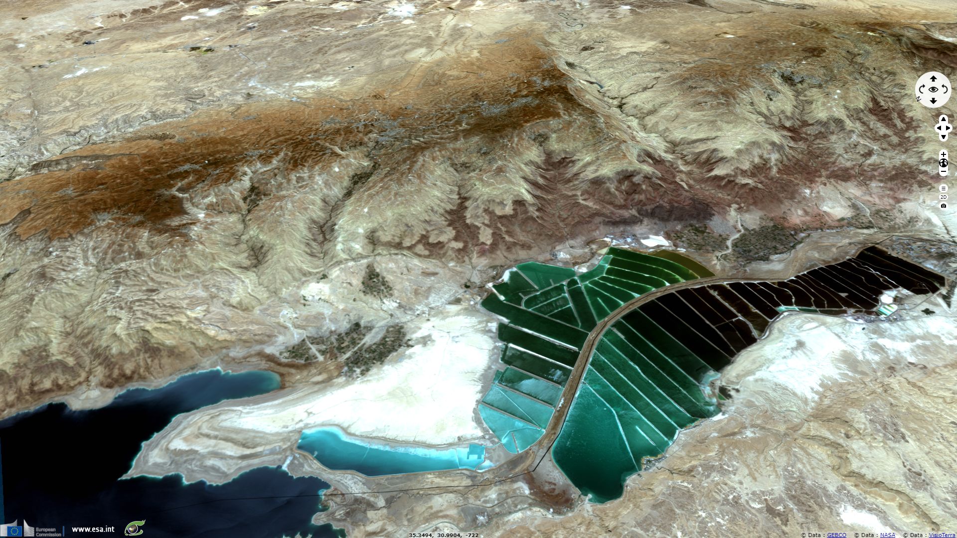
Jordan water drainage outlined for Independance day
Sentinel-2 MSI (4 tiles) acquired on 08 May 2017 at 08:06:11 UTC
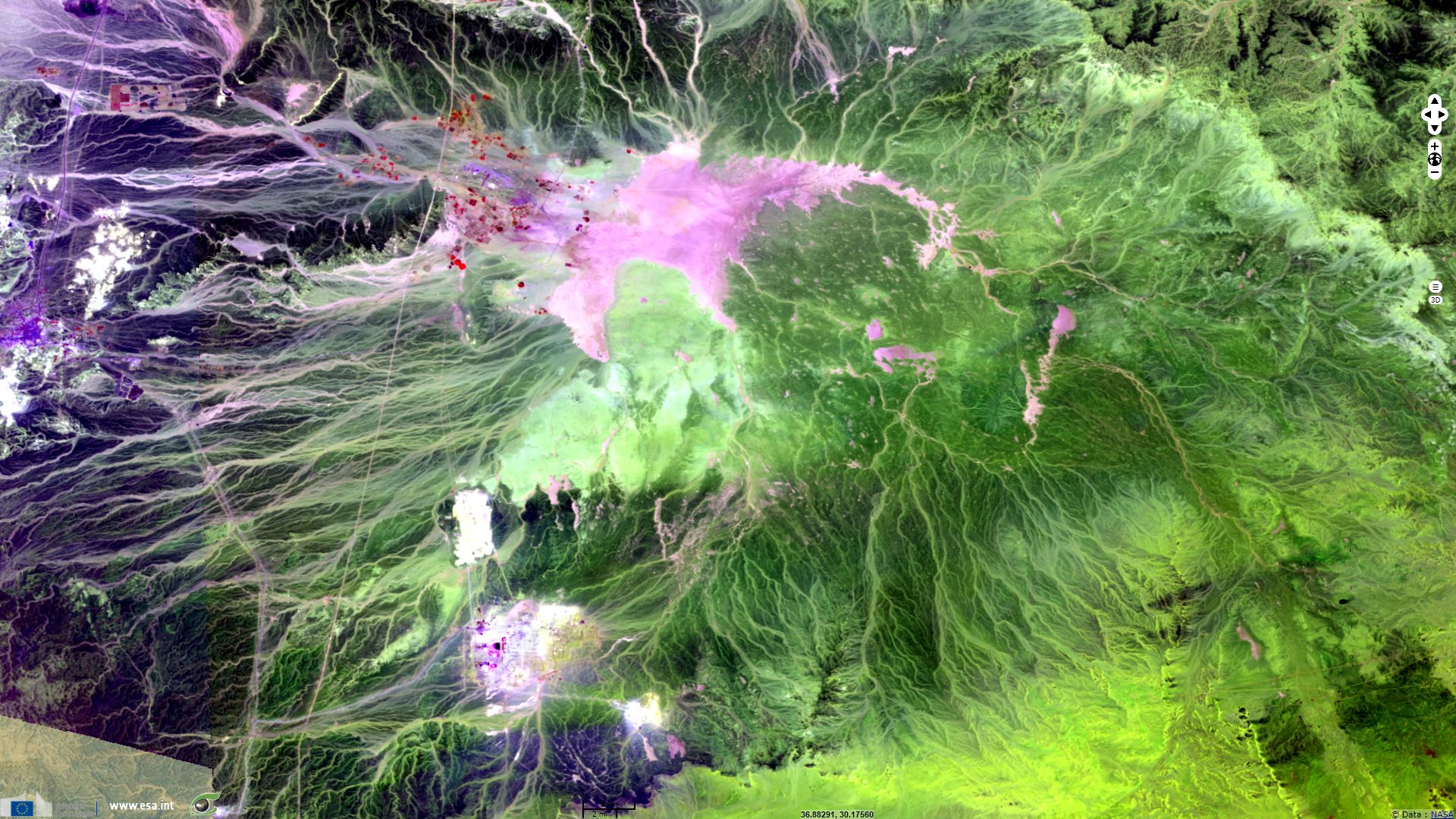
Sentinel-2 MSI (2 tiles) acquired on 11 May 2017 at 08:20:11 UTC
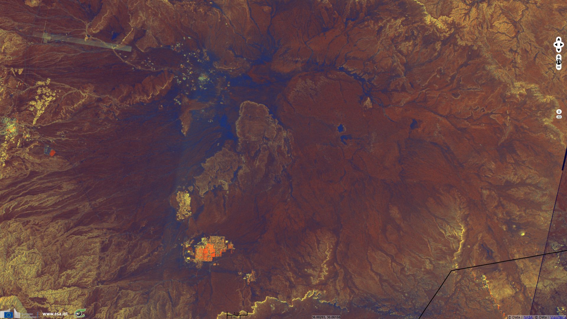
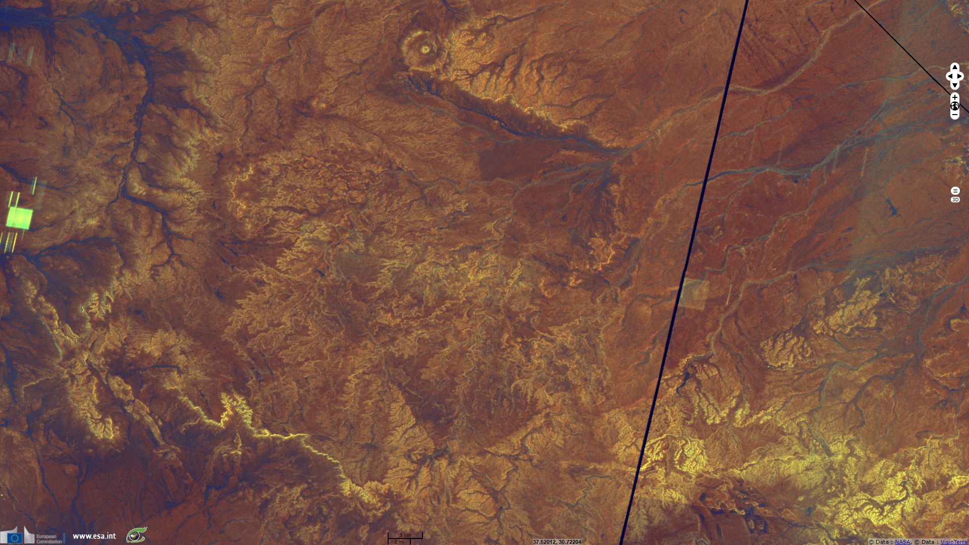
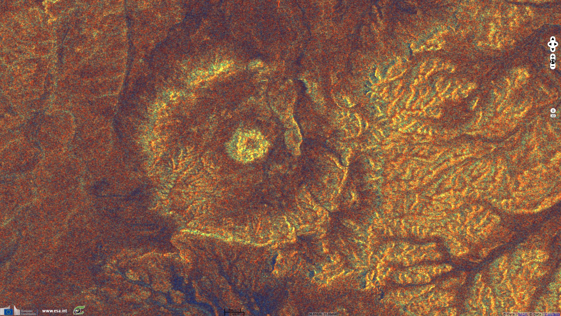
Sentinel-1 CSAR IW acquired on 18 May 2017 from 03:34:56 to 03:35:21 UTC
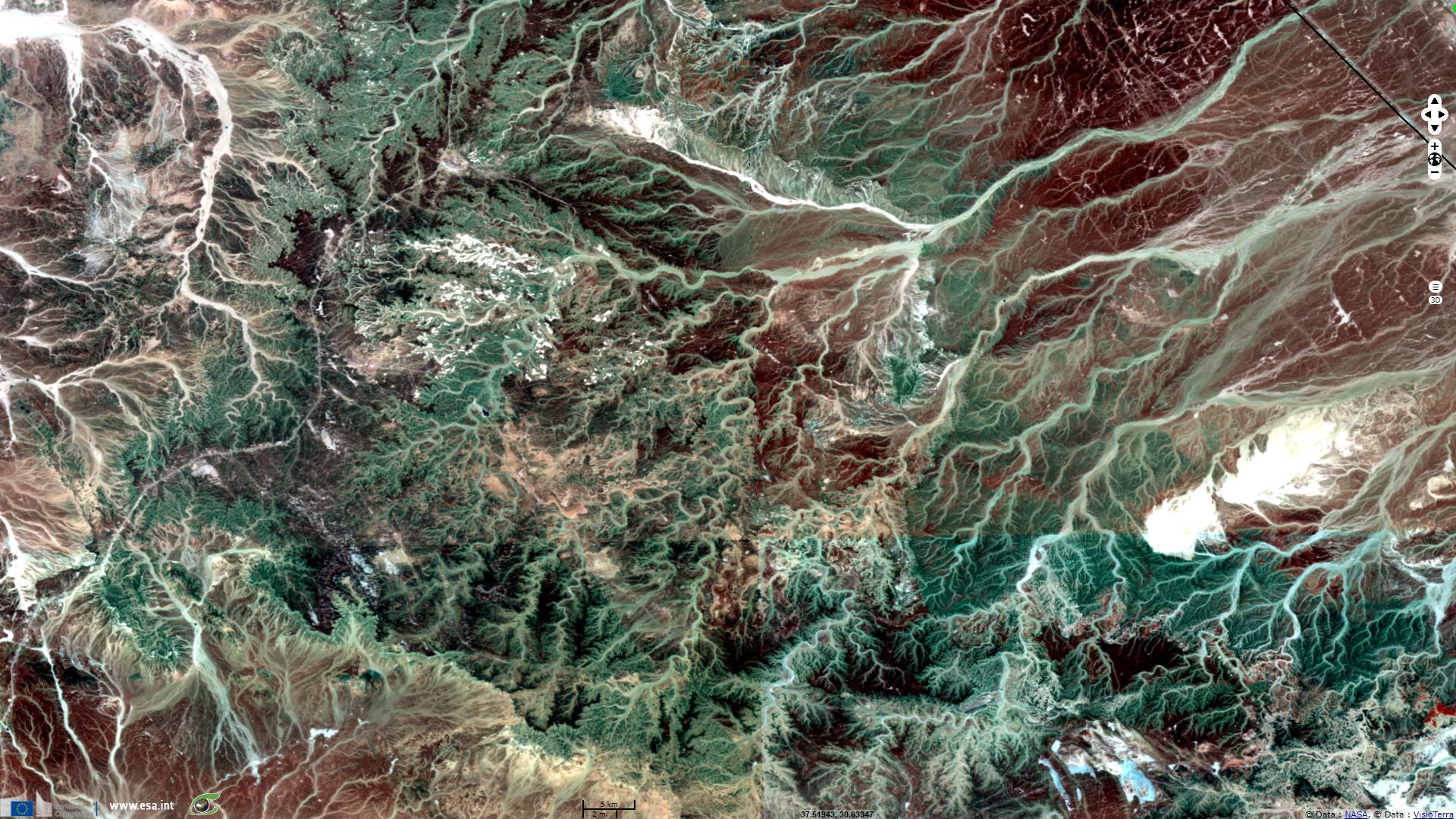
Sentinel-1 CSAR IW acquired on 19 May 2017 from 03:27:35 to 03:28:00 UTC
Sentinel-2 MSI (2 tiles) acquired on 11 May 2017 at 08:20:11 UTC
Sentinel-1 CSAR IW acquired on 18 May 2017 from 03:34:56 to 03:35:21 UTC
Sentinel-1 CSAR IW acquired on 19 May 2017 from 03:27:35 to 03:28:00 UTC
Keyword(s): Land, hydrology, endorheic basin, salt pan, plateau, alluvial fan, lake, depression, crater, desert, Dead Sea, Jordan
The views expressed herein can in no way be taken to reflect the official opinion of the European Space Agency or the European Union.
Contains modified Copernicus Sentinel data 2026, processed by VisioTerra.
Contains modified Copernicus Sentinel data 2026, processed by VisioTerra.
| More on European Commission space: |  |
 |
 |
||||
| More on ESA: | |
|
|
S-1 website | S-2 website | S-3 website | |
| More on Copernicus program: | |
|
|
Scihub portal | Cophub portal | Inthub portal | Colhub portal |
| More on VisioTerra: | |
|
|
Sentinel Vision Portal | Envisat+ERS portal | Swarm+GOCE portal | CryoSat portal |