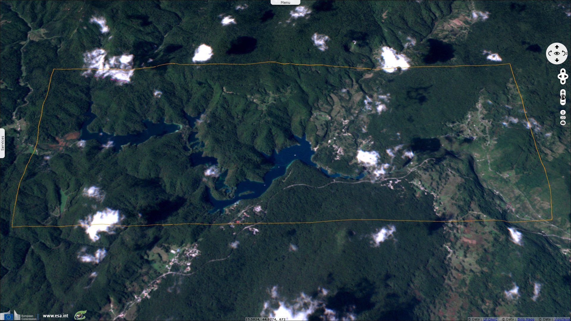
Plitvice lakes national park, Croatia
Sentinel-2 MSI acquired on 30 September 2018 at 09:50:31 UTC
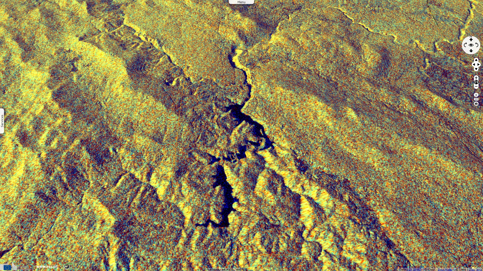
Sentinel-1 CSAR IW acquired on 13 August 2020 from 05:02:14 to 05:02:39 UTC
Sentinel-1 CSAR IW acquired on 14 August 2020 from 16:49:10 to 16:49:34 UTC
Sentinel-1 CSAR IW acquired on 13 August 2020 from 05:02:14 to 05:02:39 UTC
Sentinel-1 CSAR IW acquired on 14 August 2020 from 16:49:10 to 16:49:34 UTC
Keyword(s): Lake, hydrology, UNESCO World Heritage, Croatia.
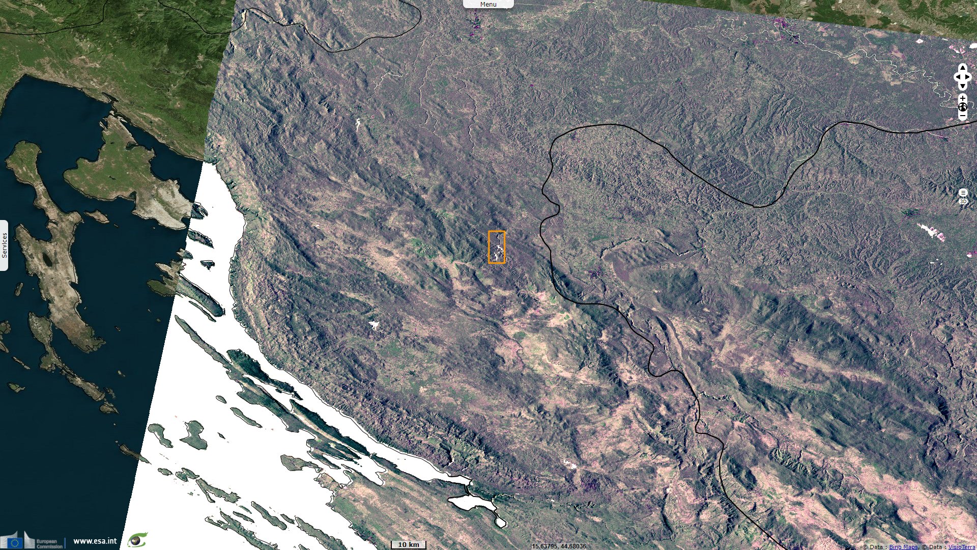
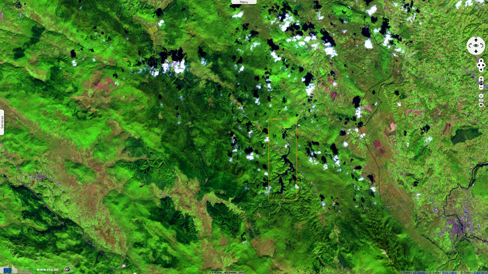
The confluence of several small rivers & subterranean karst rivers resulted in its 16 lakes, all interconnected and arranged in cascades.
The views expressed herein can in no way be taken to reflect the official opinion of the European Space Agency or the European Union.
Contains modified Copernicus Sentinel data 2026, processed by VisioTerra.
Contains modified Copernicus Sentinel data 2026, processed by VisioTerra.
| More on European Commission space: |  |
 |
 |
||||
| More on ESA: | |
|
|
S-1 website | S-2 website | S-3 website | |
| More on Copernicus program: | |
|
|
Scihub portal | Cophub portal | Inthub portal | Colhub portal |
| More on VisioTerra: | |
|
|
Sentinel Vision Portal | Envisat+ERS portal | Swarm+GOCE portal | CryoSat portal |