Monitoring of wetlands & land degradation in Eastern Africa
Sentinel-3 OLCI LFR & SLSTR RBT acquired on 04 January 2017 from 07:07:22 to 07:13:22 UTC
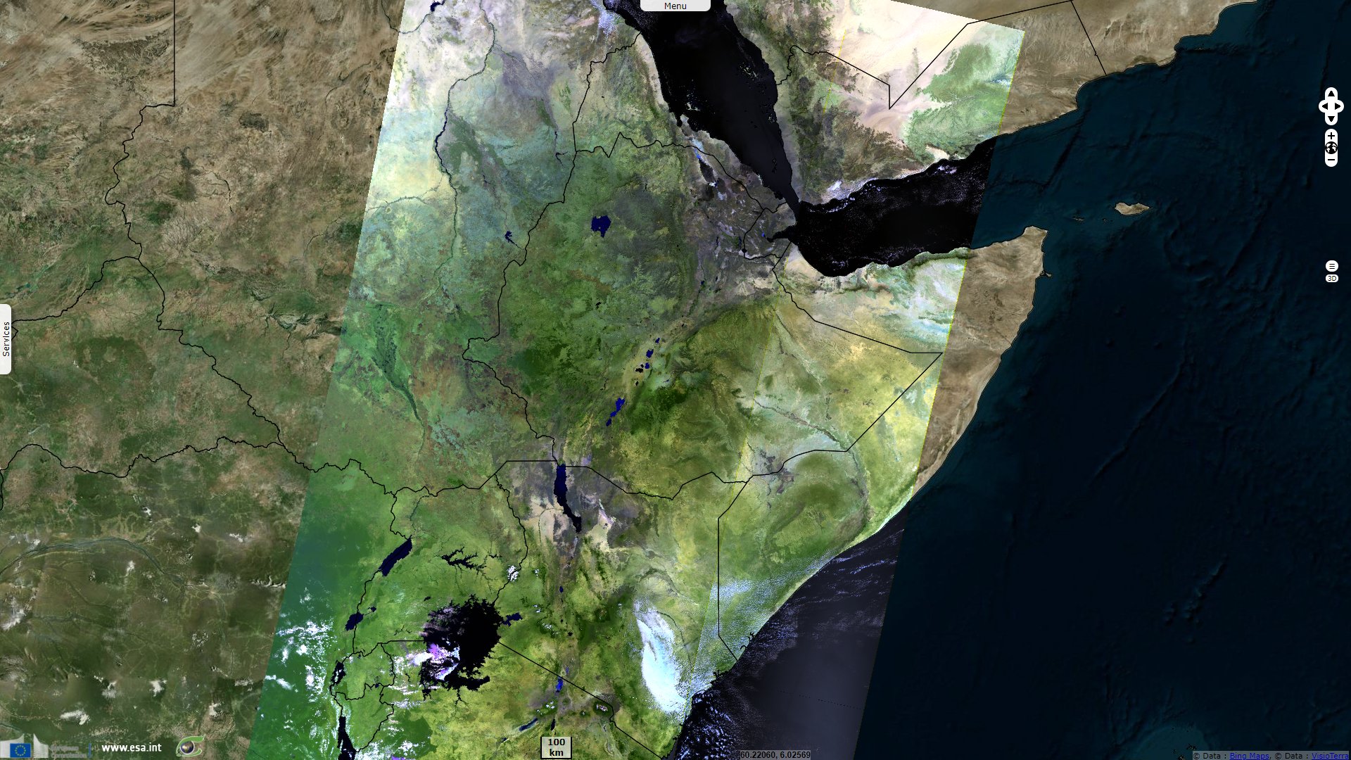
Sentinel-3 OLCI LFR acquired on 05 January 2017 at 06:44:11 UTC
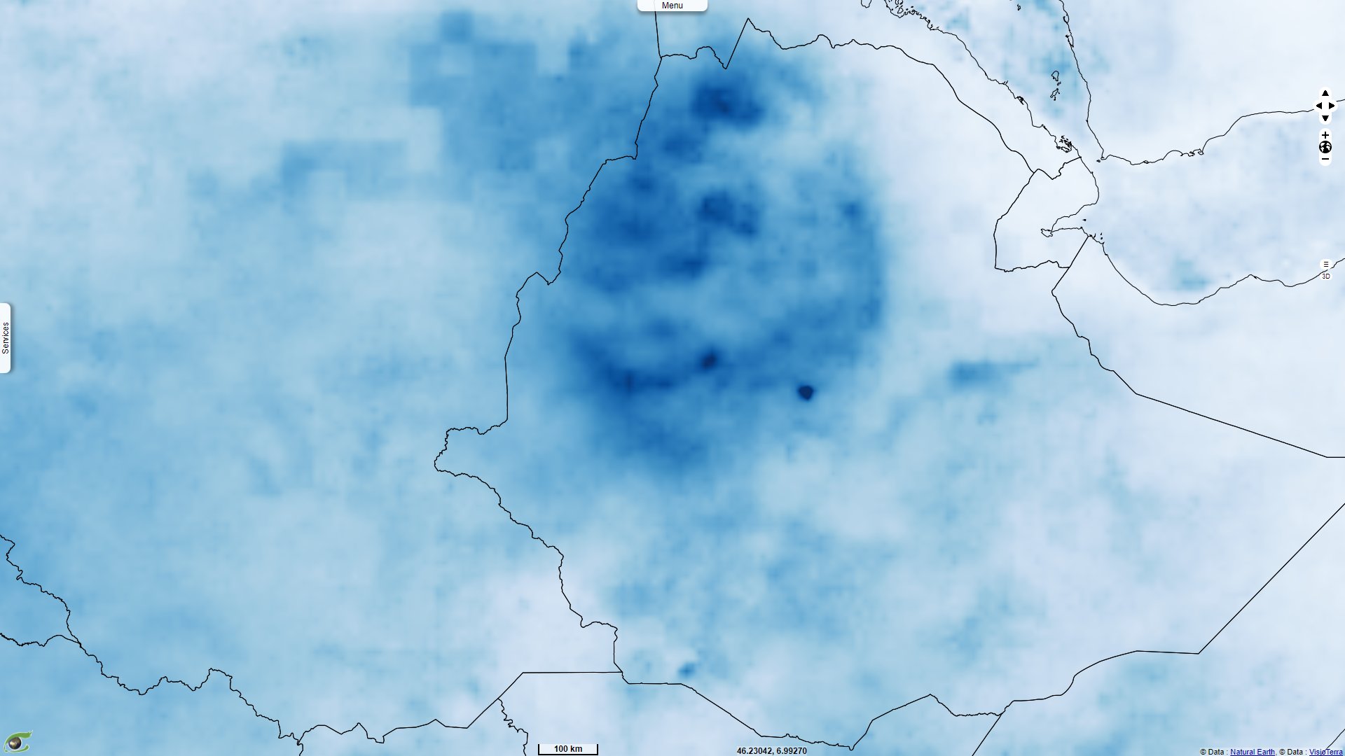
Sentinel-3 OLCI LFR & SLSTR RBT acquired on 07 January 2017 from 07:29:49 to 07:35:49 UTC
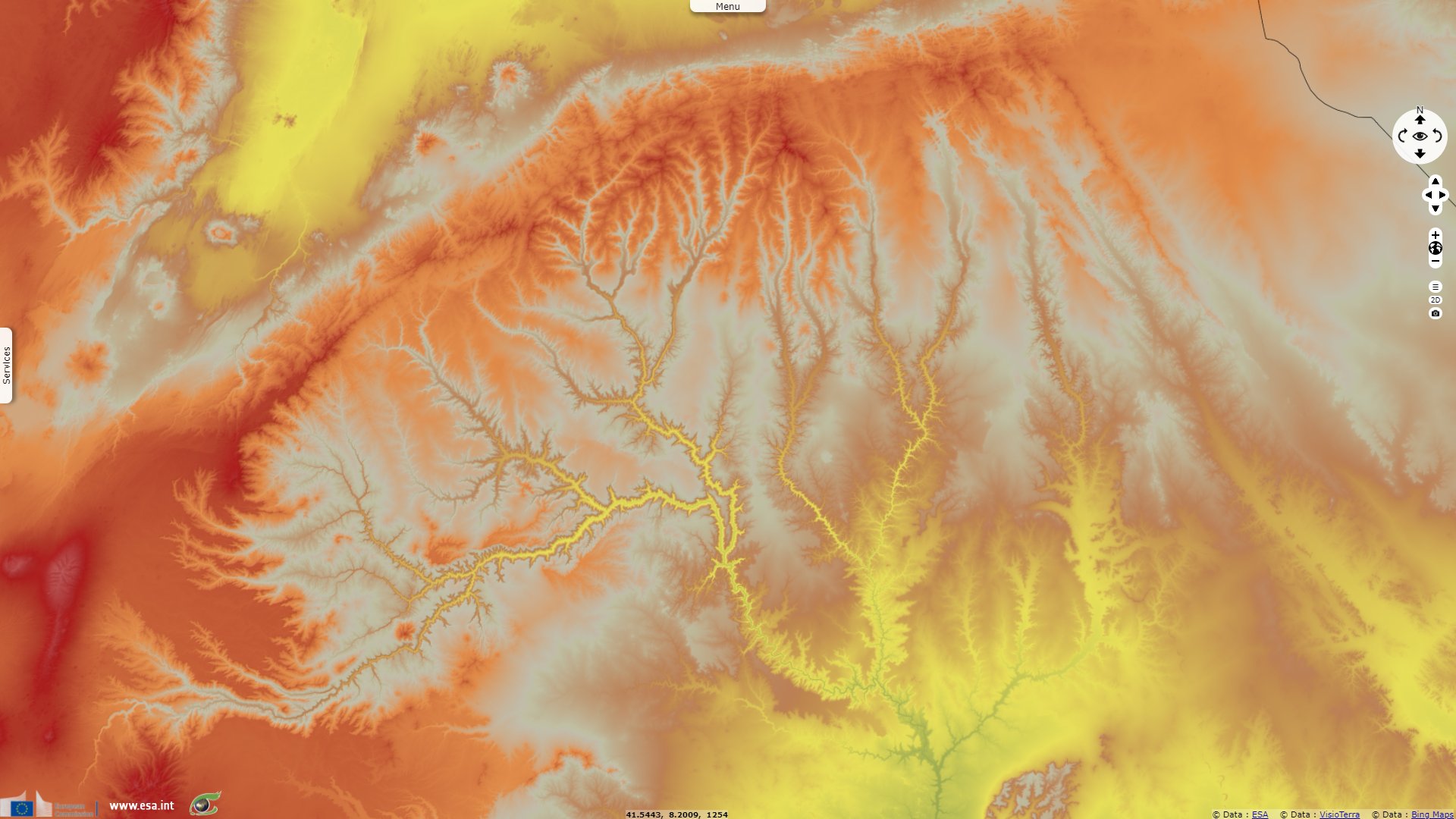
Sentinel-1 CSAR IW acquired on 30 July 2018 at 03:44:23 UTC
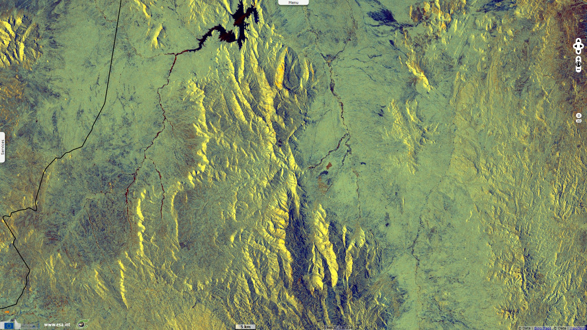
Sentinel-1 CSAR IW acquired on 18 November 2021 at 15:57:11 UTC
Sentinel-3 OLCI LFR acquired on 05 January 2017 at 06:44:11 UTC
Sentinel-3 OLCI LFR & SLSTR RBT acquired on 07 January 2017 from 07:29:49 to 07:35:49 UTC
Sentinel-1 CSAR IW acquired on 30 July 2018 at 03:44:23 UTC
Sentinel-1 CSAR IW acquired on 18 November 2021 at 15:57:11 UTC
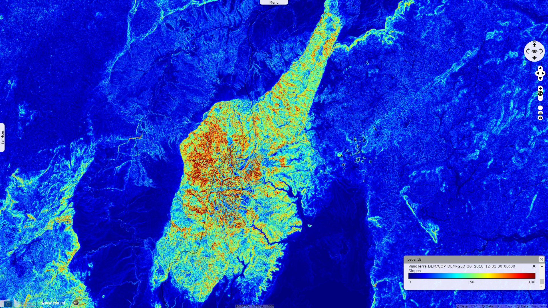
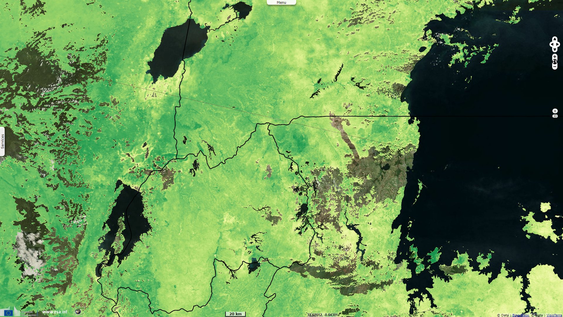
Keyword(s): Mountain range, precipitation, hydrology, vegetation, erosion, Ethiopia, Kenya, Uganda, Rwanda.
The views expressed herein can in no way be taken to reflect the official opinion of the European Space Agency or the European Union.
Contains modified Copernicus Sentinel data 2026, processed by VisioTerra.
Contains modified Copernicus Sentinel data 2026, processed by VisioTerra.
| More on European Commission space: |  |
 |
 |
||||
| More on ESA: | |
|
|
S-1 website | S-2 website | S-3 website | |
| More on Copernicus program: | |
|
|
Scihub portal | Cophub portal | Inthub portal | Colhub portal |
| More on VisioTerra: | |
|
|
Sentinel Vision Portal | Envisat+ERS portal | Swarm+GOCE portal | CryoSat portal |