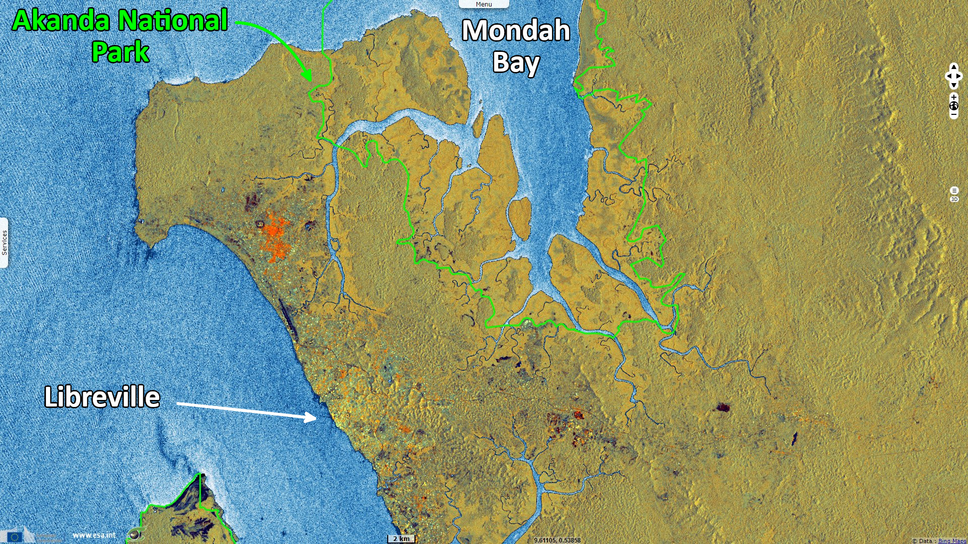
Mangroves of Akanda & Pongara National Parks, Gabon
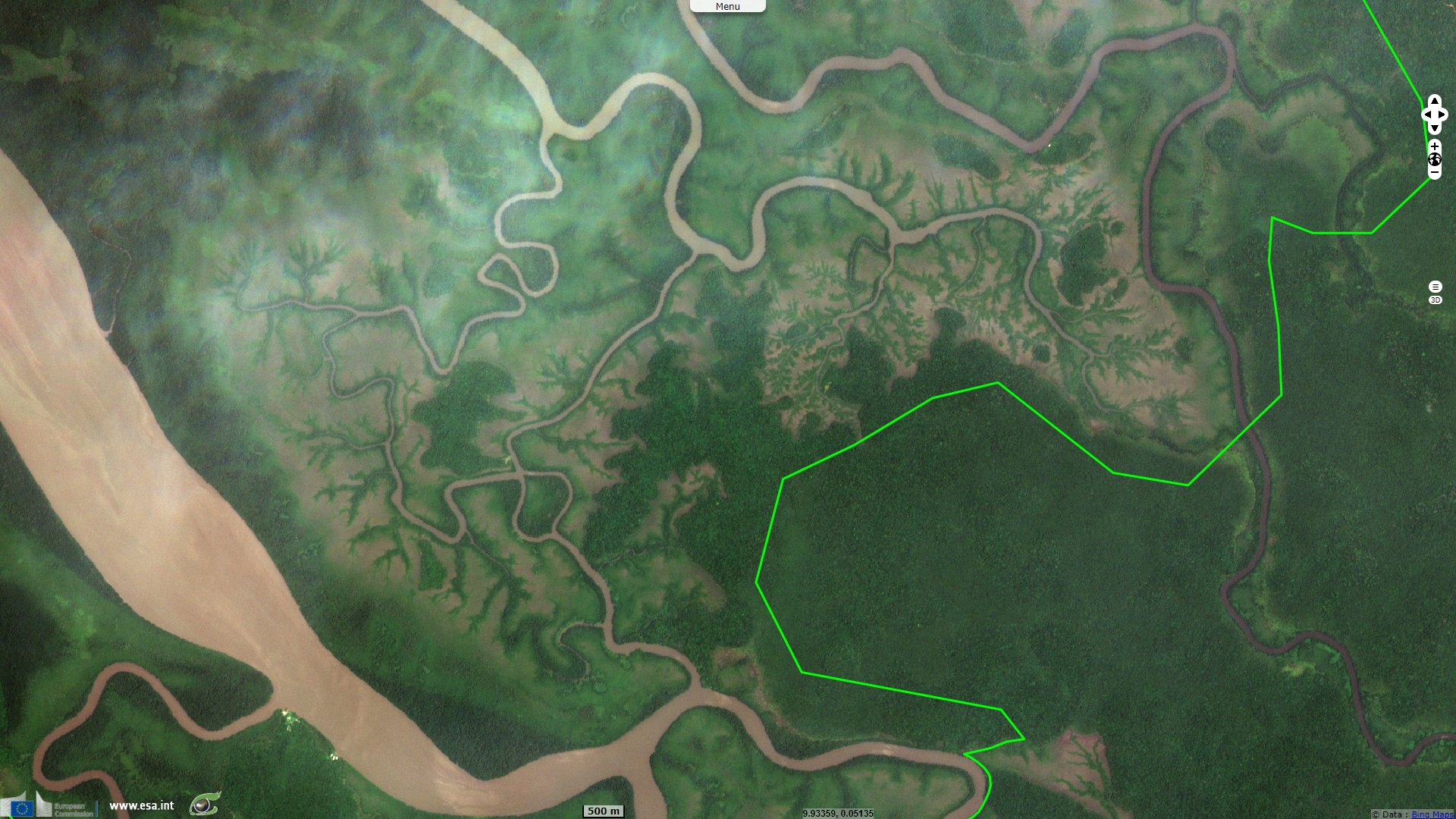
Sentinel-2 MSI acquired on 07 March 2021 at 09:30:39 UTC
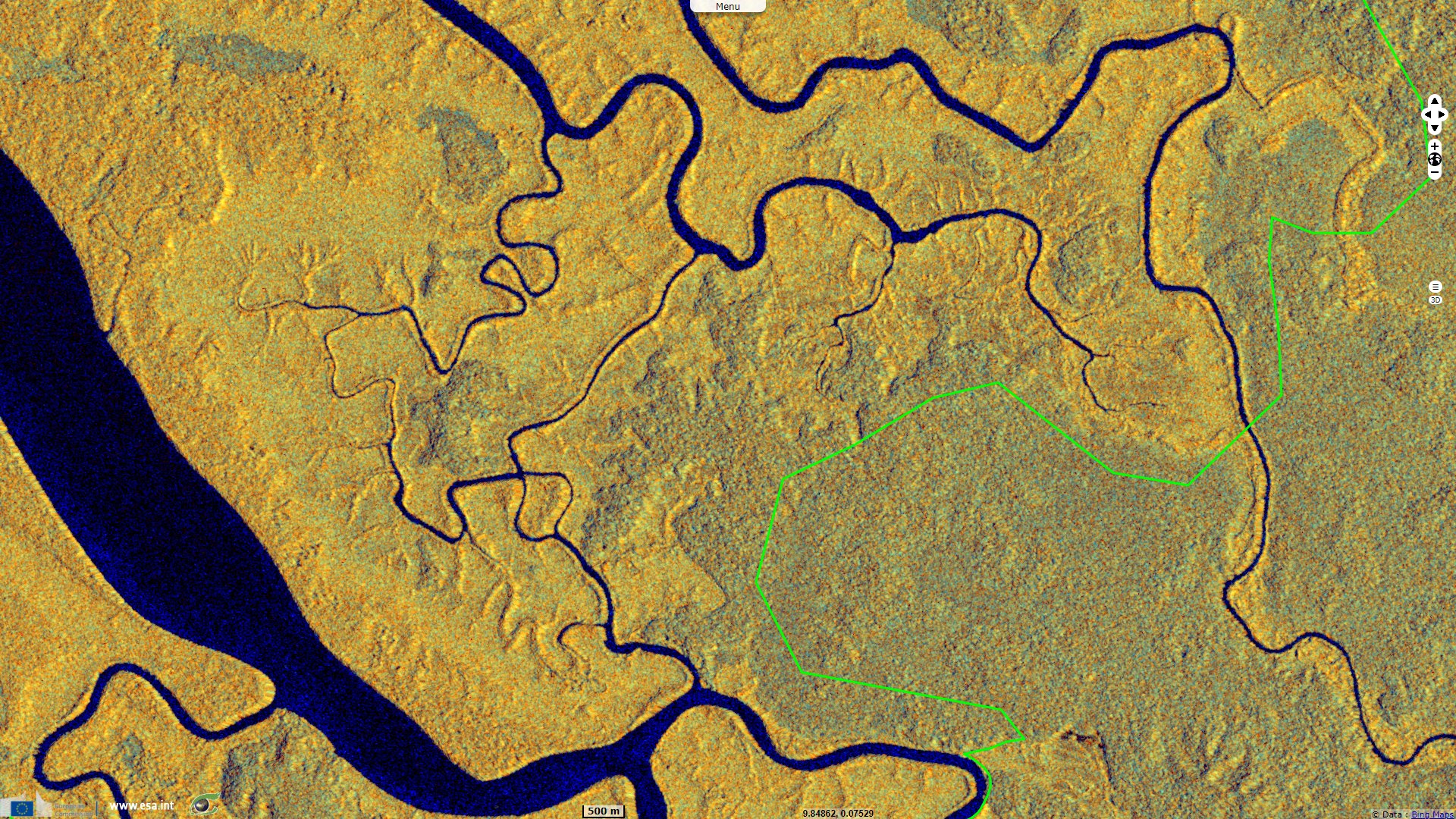
Sentinel-1 CSAR IW acquired on 28 July 2021 at 05:07:05 UTC
Sentinel-1 CSAR IW acquired on 09 August 2021 at 05:07:05 UTC
Sentinel-1 CSAR IW acquired on 21 August 2021 at 05:07:06 UTC
Sentinel-1 CSAR IW acquired on 28 July 2021 at 05:07:05 UTC
Sentinel-1 CSAR IW acquired on 09 August 2021 at 05:07:05 UTC
Sentinel-1 CSAR IW acquired on 21 August 2021 at 05:07:06 UTC
Keyword(s): Coastal, forestry, mangrove, swamp, savannah, biodiversity, tourism, National Parks, Ramsar wetland site, Gabon
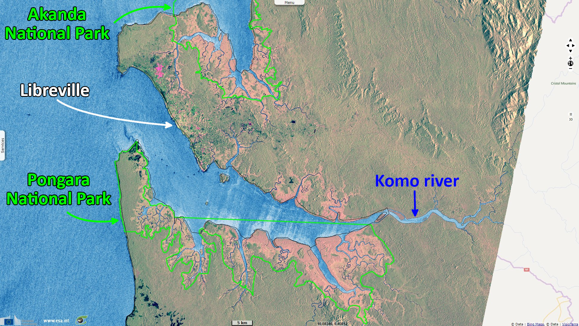
Gabon has 2.5% of the total mangrove in Africa, yet Akanda & Pongara parks comprise 25% of the total protected mangrove in the continent.
The views expressed herein can in no way be taken to reflect the official opinion of the European Space Agency or the European Union.
Contains modified Copernicus Sentinel data 2026, processed by VisioTerra.
Contains modified Copernicus Sentinel data 2026, processed by VisioTerra.
| More on European Commission space: |  |
 |
 |
||||
| More on ESA: | |
|
|
S-1 website | S-2 website | S-3 website | |
| More on Copernicus program: | |
|
|
Scihub portal | Cophub portal | Inthub portal | Colhub portal |
| More on VisioTerra: | |
|
|
Sentinel Vision Portal | Envisat+ERS portal | Swarm+GOCE portal | CryoSat portal |