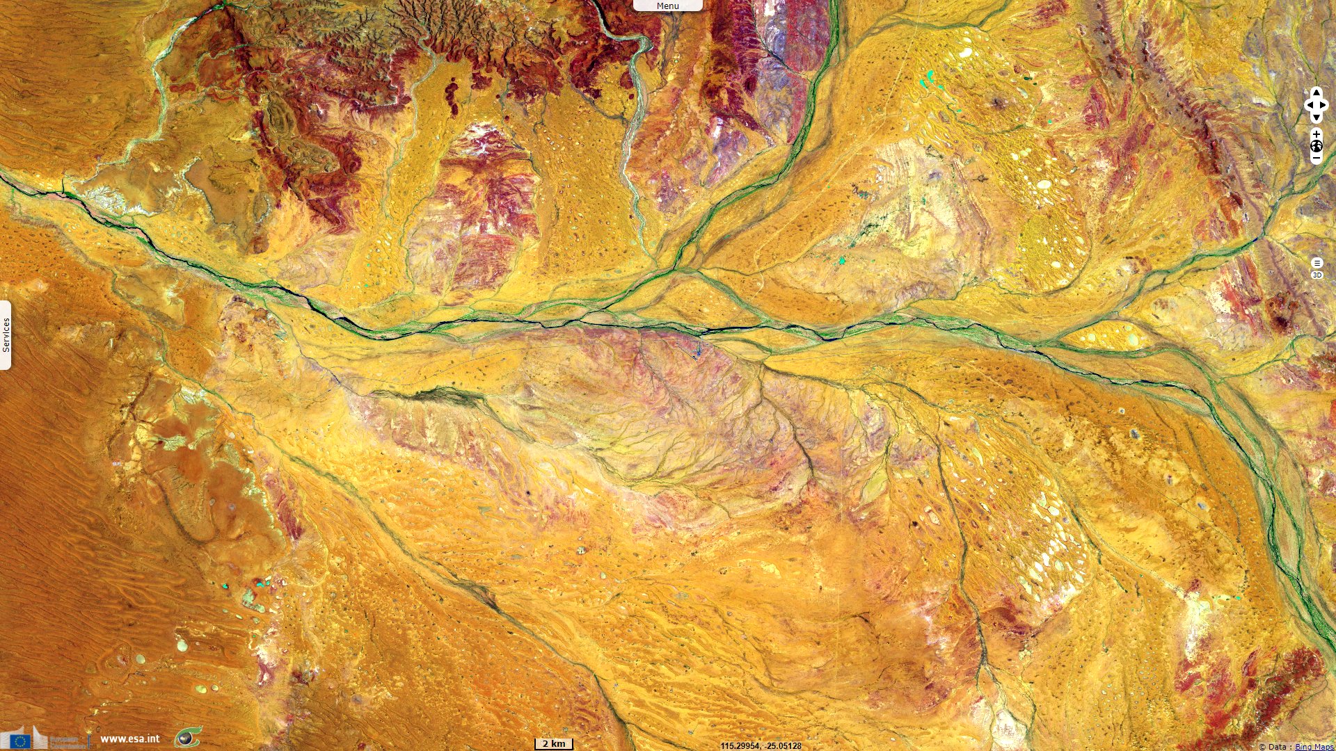
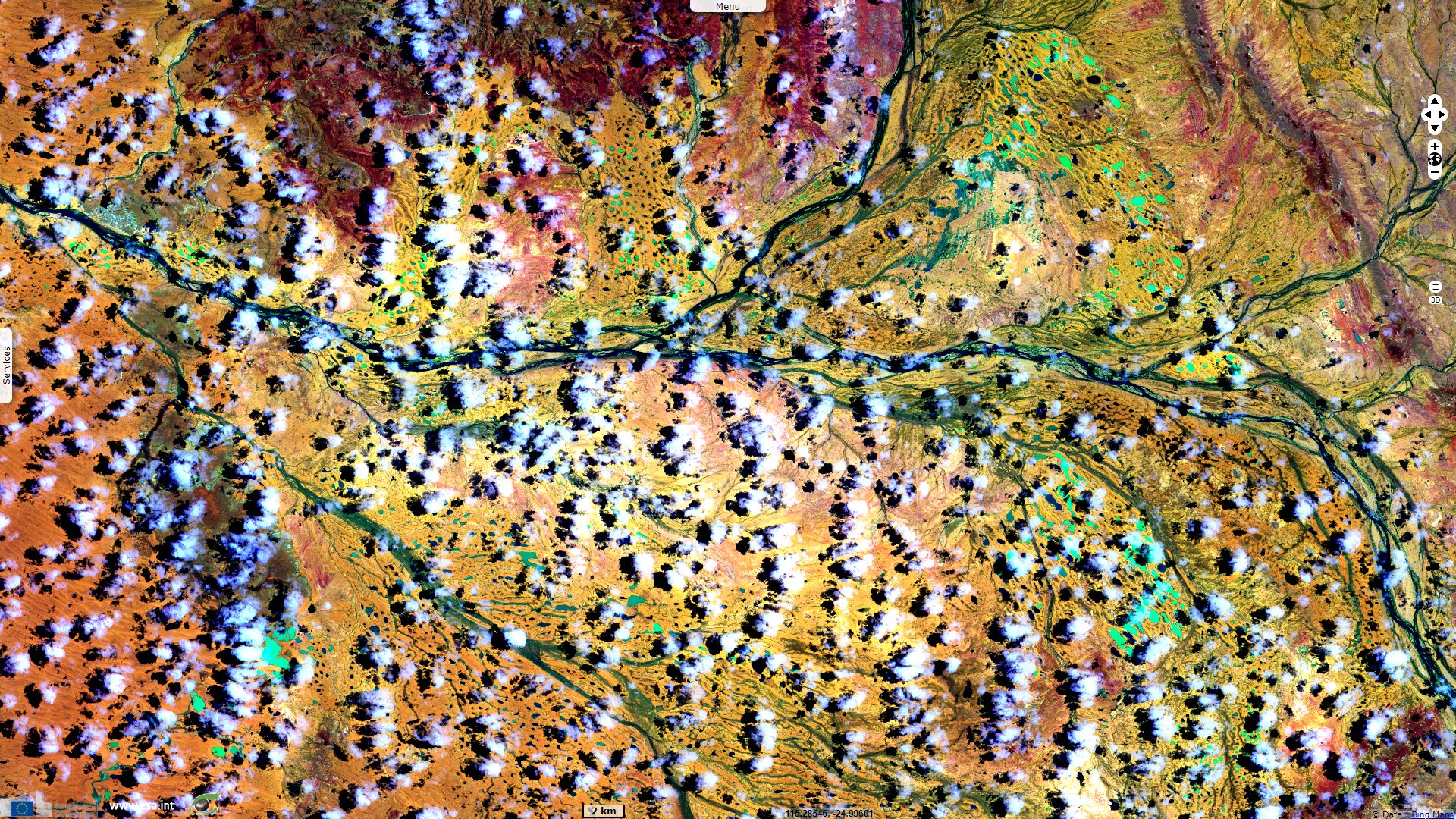
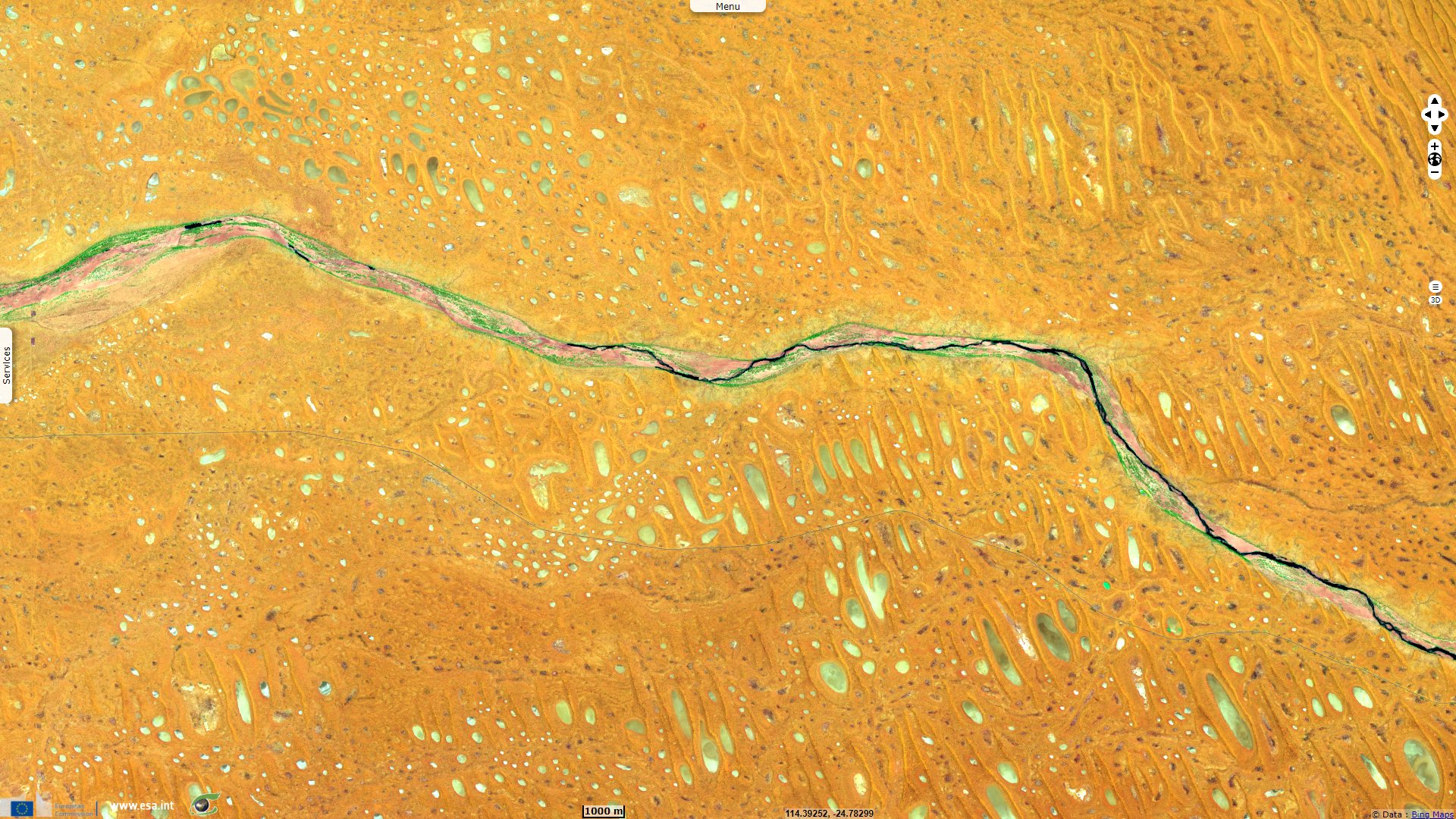
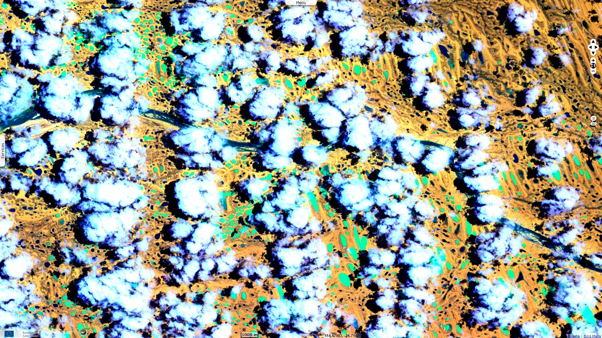
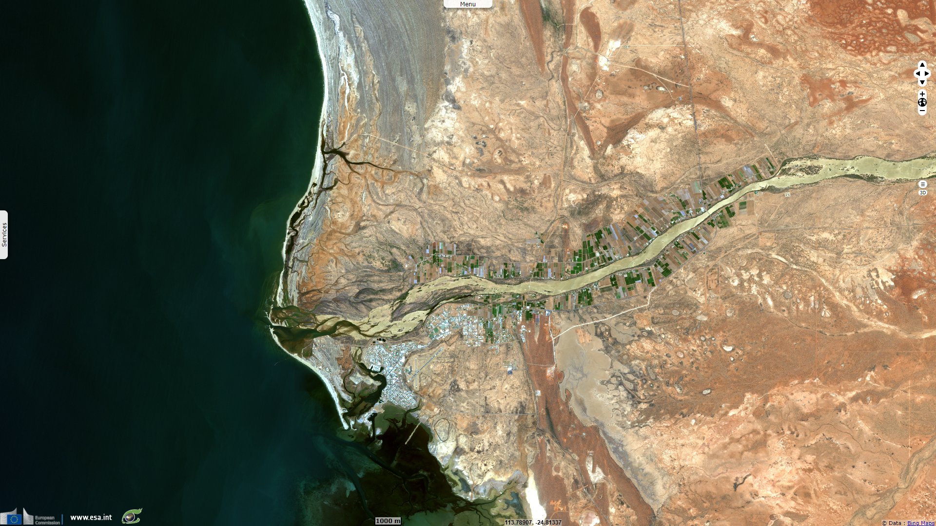
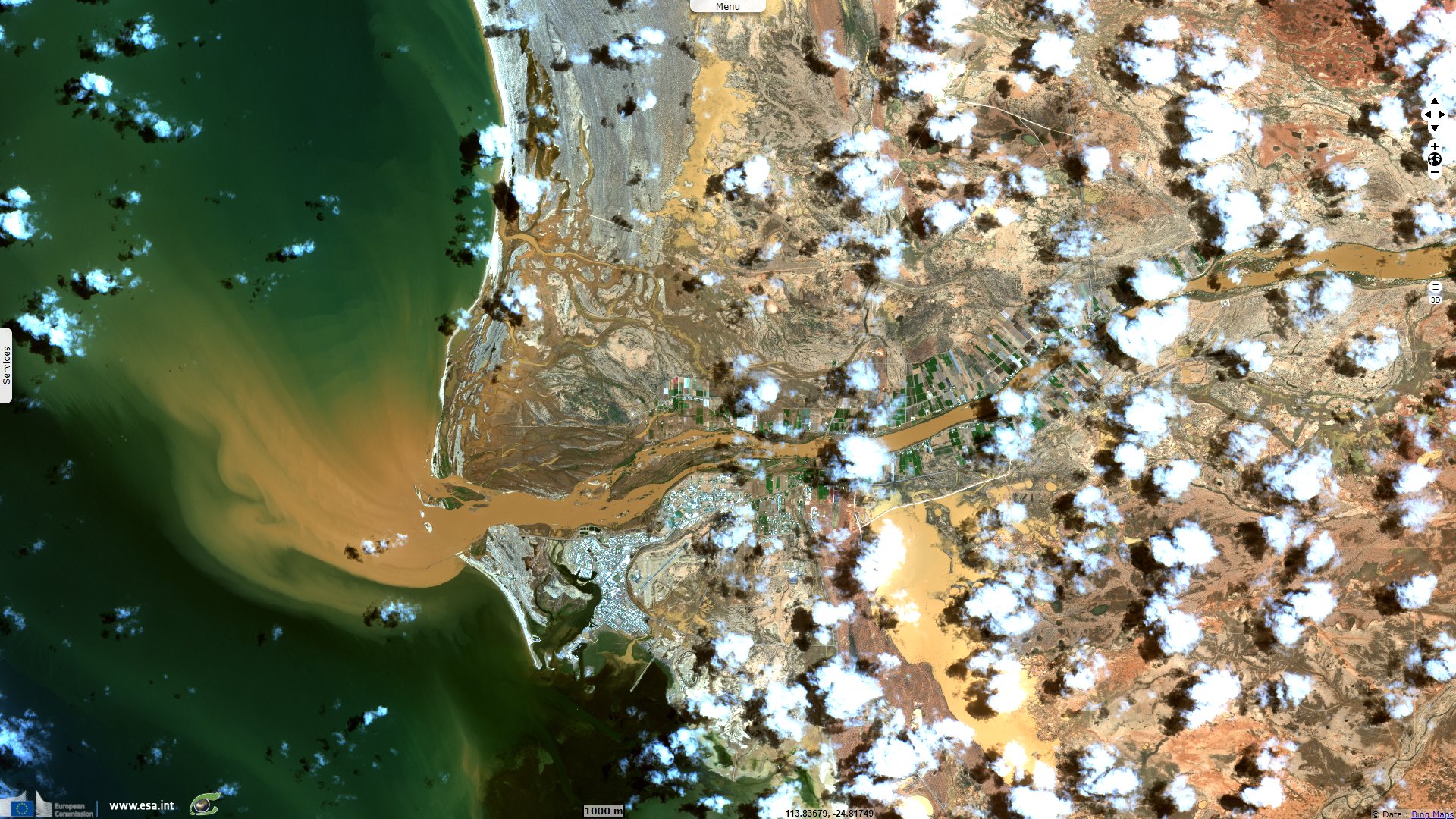
A flood allows the dry Gascoygne river to reach the sea, Australia
Sentinel-2 MSI acquired on 26 January 2021 at 02:13:51 UTC
Sentinel-2 MSI acquired on 29 January 2021 at 02:32:51 UTC
Sentinel-2 MSI acquired on 08 February 2021 at 02:32:51 UTC
Sentinel-2 MSI acquired on 10 February 2021 at 02:13:49 UTC
Keyword(s): Hydrology, river, flood, precipitations, water colour, sediments, alluvium, erosion, Australia
The views expressed herein can in no way be taken to reflect the official opinion of the European Space Agency or the European Union.
Contains modified Copernicus Sentinel data 2026, processed by VisioTerra.
Contains modified Copernicus Sentinel data 2026, processed by VisioTerra.
| More on European Commission space: |  |
 |
 |
||||
| More on ESA: | |
|
|
S-1 website | S-2 website | S-3 website | |
| More on Copernicus program: | |
|
|
Scihub portal | Cophub portal | Inthub portal | Colhub portal |
| More on VisioTerra: | |
|
|
Sentinel Vision Portal | Envisat+ERS portal | Swarm+GOCE portal | CryoSat portal |