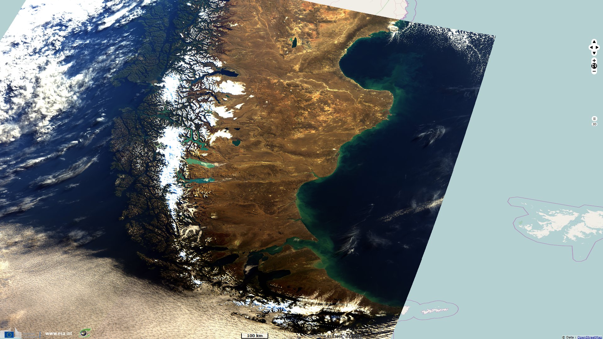
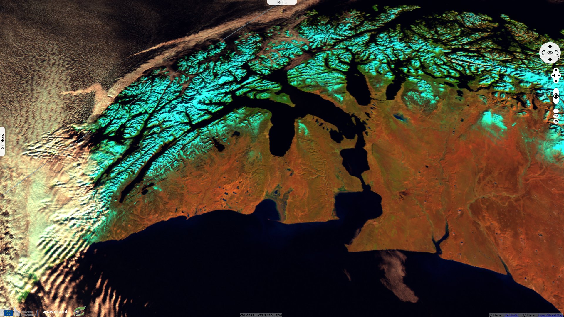
Patagonia seen by Sentinel-3, Chile and Argentina
Sentinel-3 OLCI FR acquired on 29 April 2016 from 13:50:35 to 13:53:35 UTC
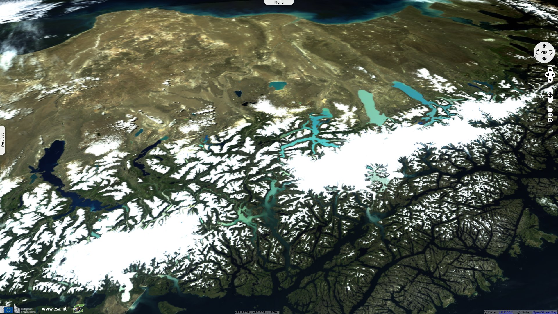
Sentinel-3 SLSTR RBT acquired on 18 May 2016 from 13:58:04 to 14:01:04 UTC
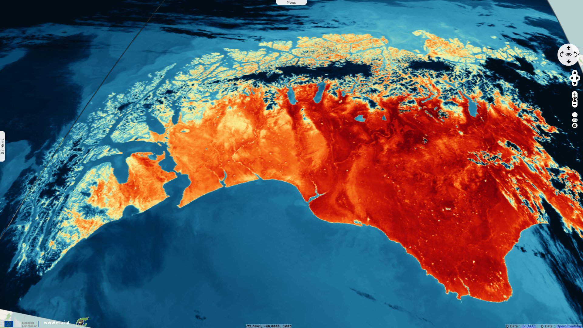
Sentinel-3 OLCI FR & SLSTR RBT acquired on 05 November 2017 at 14:01:51 UTC
Sentinel-3 OLCI FR acquired on 06 November 2017 from 13:35:40 to 13:38:40 UTC
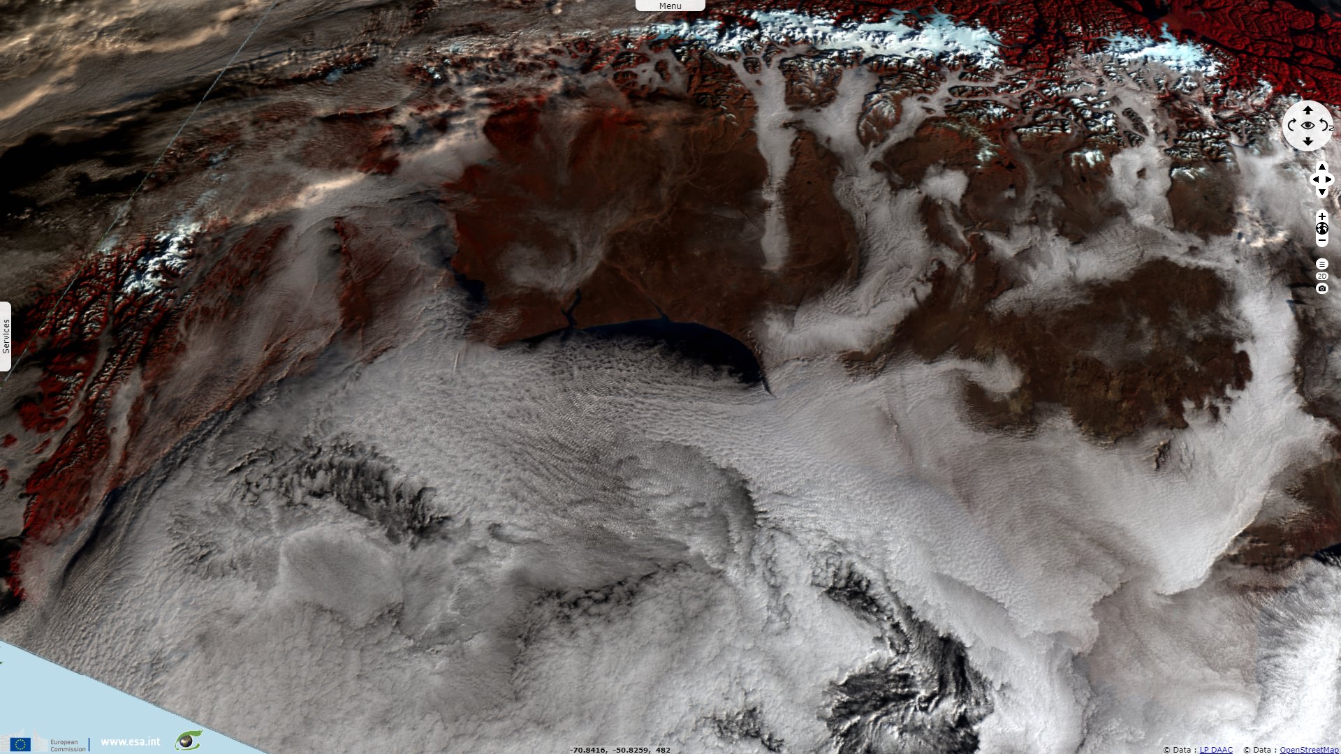
Sentinel-3 SLSTR RBT acquired on 19 August 2019 from 13:58:15 Uto 14:01:15 UTC
Sentinel-3 SLSTR RBT acquired on 18 May 2016 from 13:58:04 to 14:01:04 UTC
Sentinel-3 OLCI FR & SLSTR RBT acquired on 05 November 2017 at 14:01:51 UTC
Sentinel-3 OLCI FR acquired on 06 November 2017 from 13:35:40 to 13:38:40 UTC
Sentinel-3 SLSTR RBT acquired on 19 August 2019 from 13:58:15 Uto 14:01:15 UTC
Keyword(s): Mountain range, archipelago, fjord, glacier, lakes, cryosphere, snow, ice, Pacific Ring of Fire, Andean Cordillera
The views expressed herein can in no way be taken to reflect the official opinion of the European Space Agency or the European Union.
Contains modified Copernicus Sentinel data 2026, processed by VisioTerra.
Contains modified Copernicus Sentinel data 2026, processed by VisioTerra.
| More on European Commission space: |  |
 |
 |
||||
| More on ESA: | |
|
|
S-1 website | S-2 website | S-3 website | |
| More on Copernicus program: | |
|
|
Scihub portal | Cophub portal | Inthub portal | Colhub portal |
| More on VisioTerra: | |
|
|
Sentinel Vision Portal | Envisat+ERS portal | Swarm+GOCE portal | CryoSat portal |