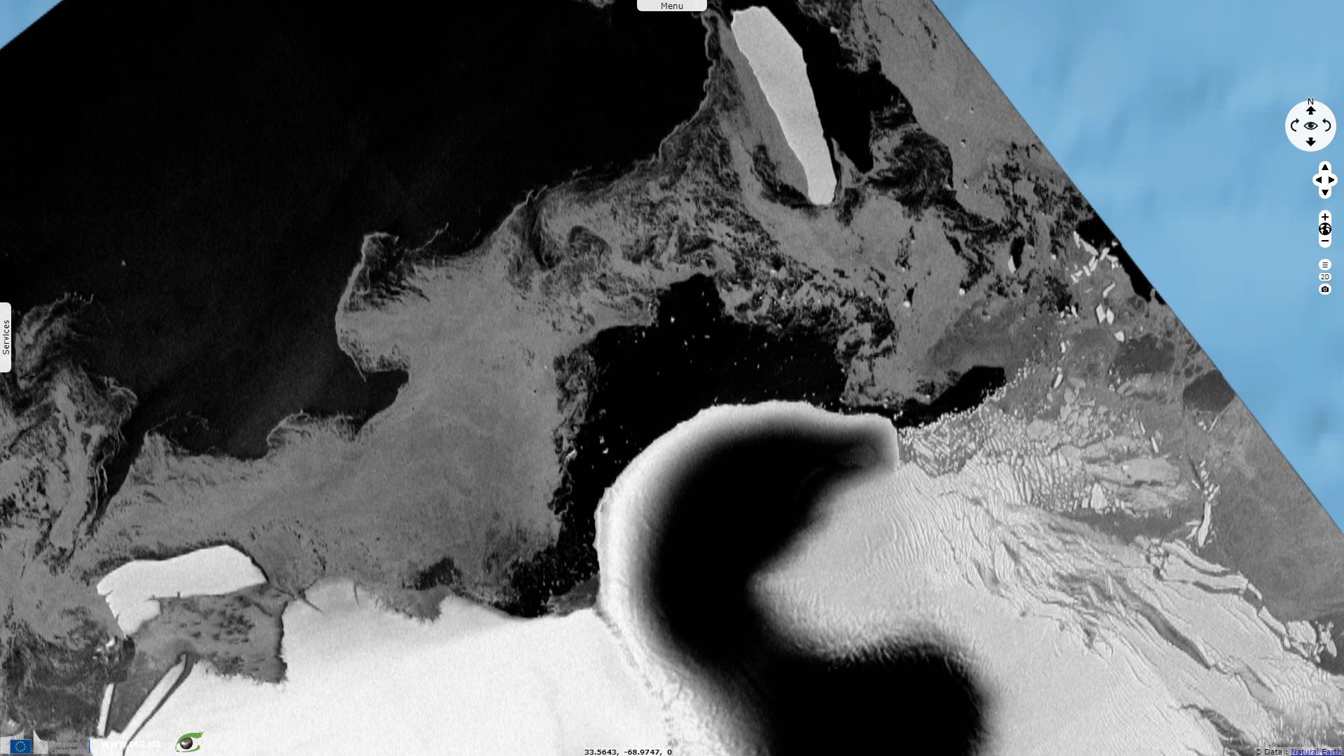
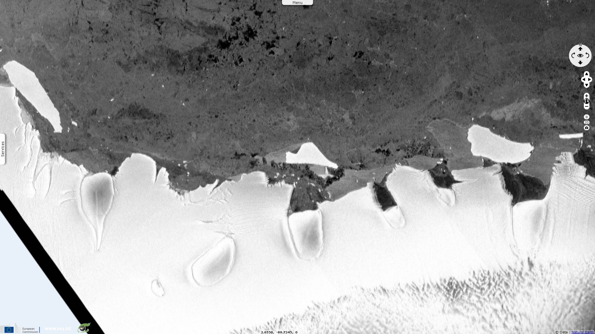
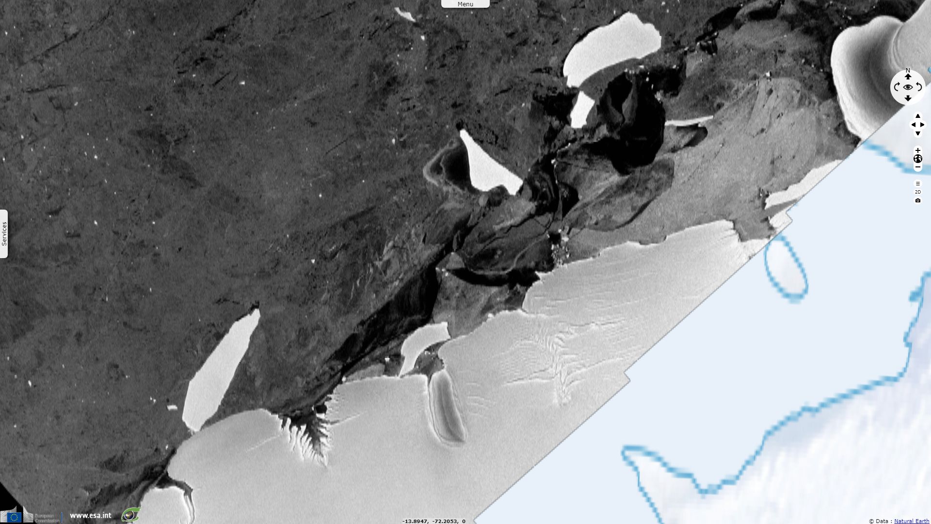
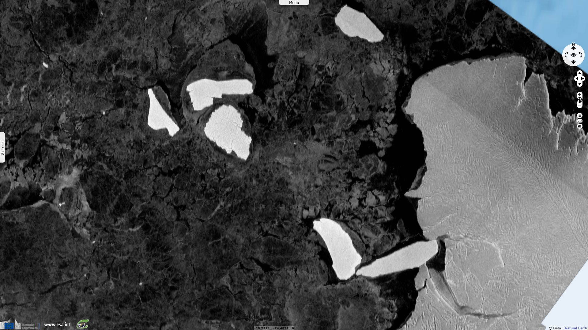
B15 iceberg final trip to the north
Sentinel-1 CSAR EW acquired on 29 January 2015 at 18:12:13 UTC
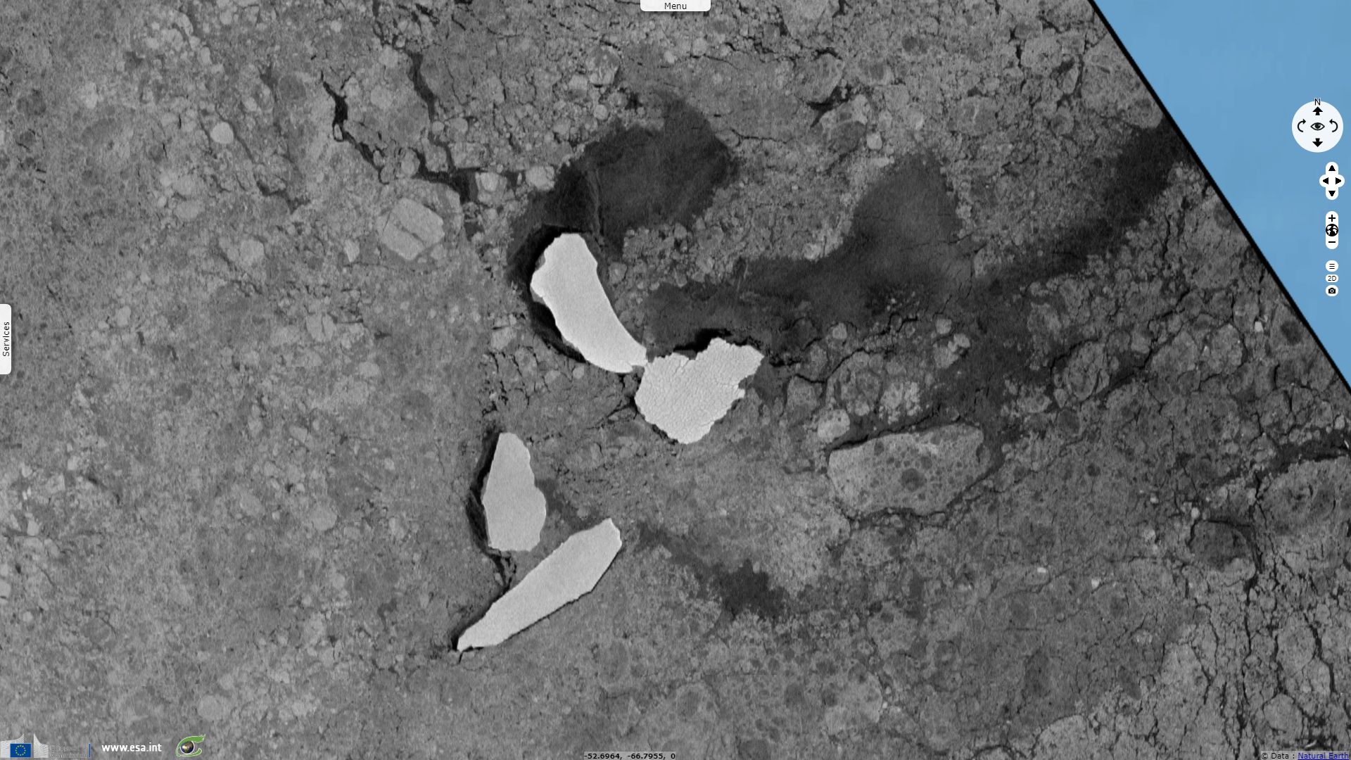
Sentinel-1 CSAR EW acquired on 10 May 2015 at 19:59:08 UTC
...
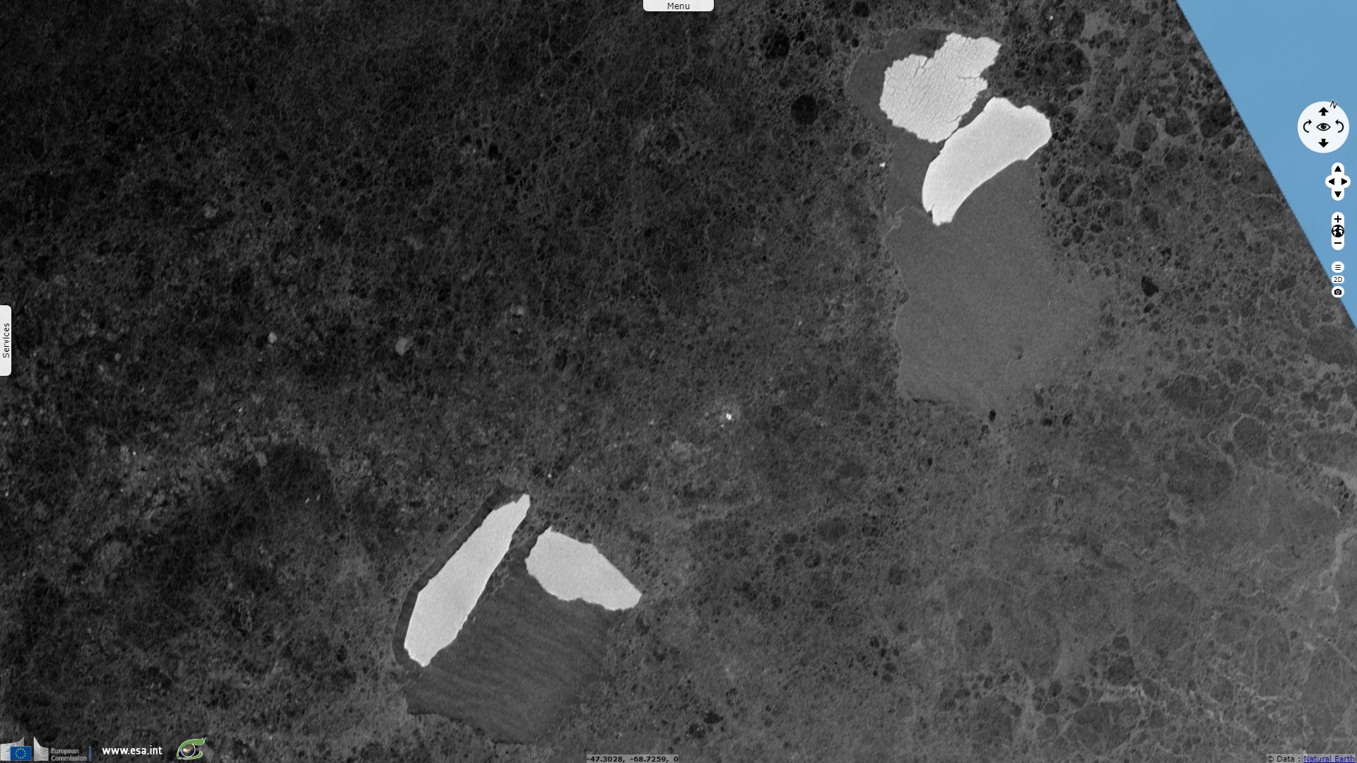
Sentinel-1 CSAR EW acquired on 26 September 2018 at 06:44:25 UTC
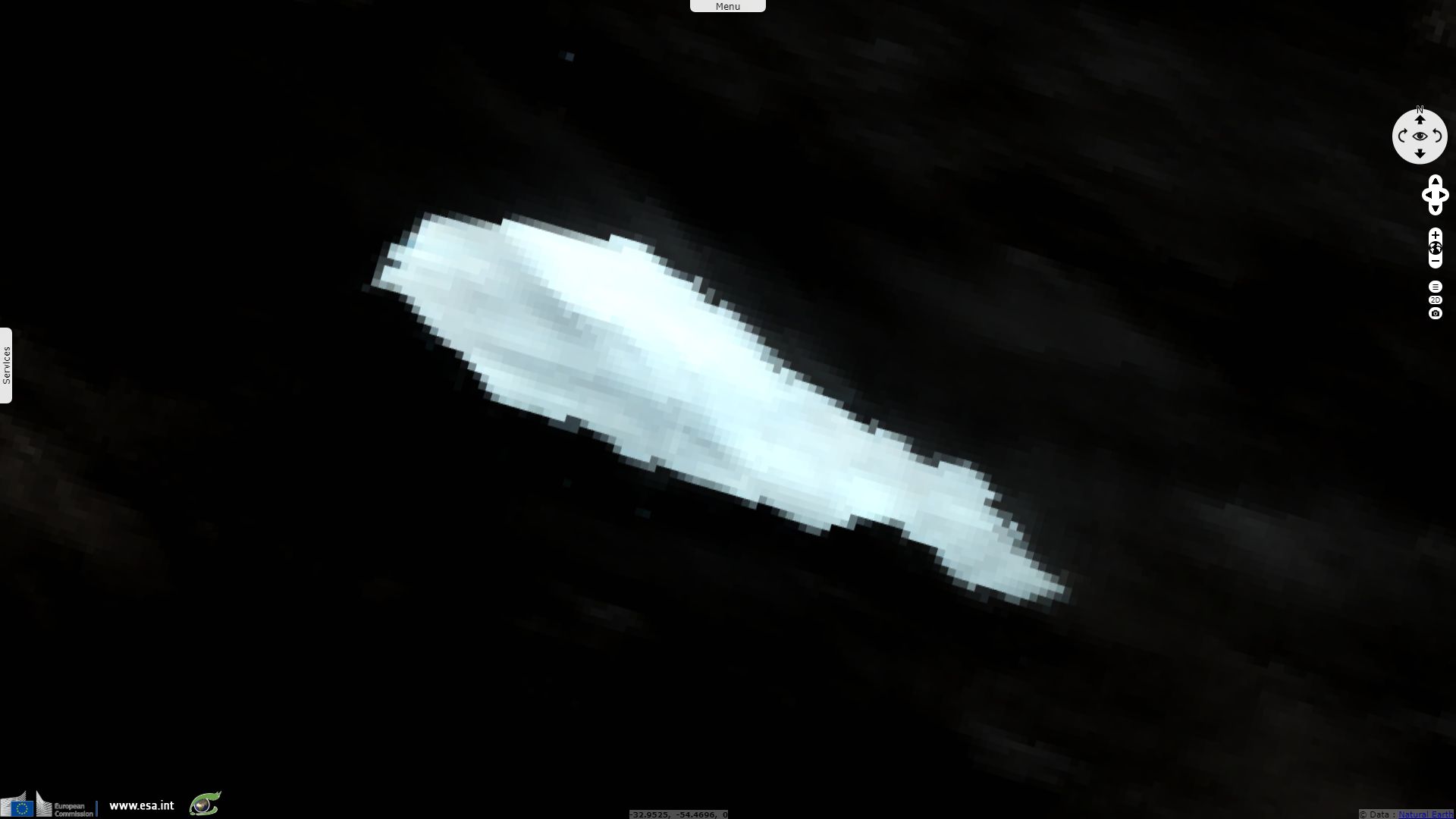
Sentinel-3 SLSTR RBT acquired on 28 October 2018 at 11:24:55 UTC
Sentinel-1 CSAR EW acquired on 10 May 2015 at 19:59:08 UTC
...
Sentinel-1 CSAR EW acquired on 26 September 2018 at 06:44:25 UTC
Sentinel-3 SLSTR RBT acquired on 28 October 2018 at 11:24:55 UTC
Keyword(s): Polar, climate, coastal, sea ice, iceberg, cryosphere, lead, water currents, Antarctica, Antarctic Ocean
The 09.05.2000, the news page of the ATSR Project website announced: "Space technology is being used to track what is one of the largest icebergs ever seen and certainly the largest in modern times, which broke off from the Ross Ice Shelf in the Antarctic. The main iceberg, which has been named B15 by the US National Ice Centre, is about 300km from end to end and approximately 40km wide; it began to break off from the ice shelf in the last weeks of March 2000."
"'The calving of B15 is the consequence of a natural progression of events that occur in ice shelves, and is quite unrelated to Global warming or Greenhouse effects.', commented Neal Young from the Antarctic Co-operative Research Centre, Australian Antarctic Division - one of the users of ATSR data. 'Previous to this calving, the northern edge of the Ross Ice shelf was the furthest north it has been this century.'"
"ATSR-2 is an instrument that measures the temperature of the surface of the Earth extremely accurately. It is on board the ERS-2 satellite which is in polar orbit around the Earth. Both images of the iceberg are 12-micron thermal images. 'The temperature of the water and the ice is obviously different, and this enables us to see the ice shelf and the icebergs', explains Nigel Houghton of Space Science and Technology Department at Rutherford Appleton Laboratory, where data from the ATSR-2 instrument is processed.
'It is great to be able to see these icebergs from satellites and we will be tracking this one with great interest. Once an iceberg is free from the ice shelf, it often moves fairly quickly. Tracking the Larsen iceberg in 1995 we saw it move about 6km a day once it had broken free, although they can drift at up to 30km a day', he added.".
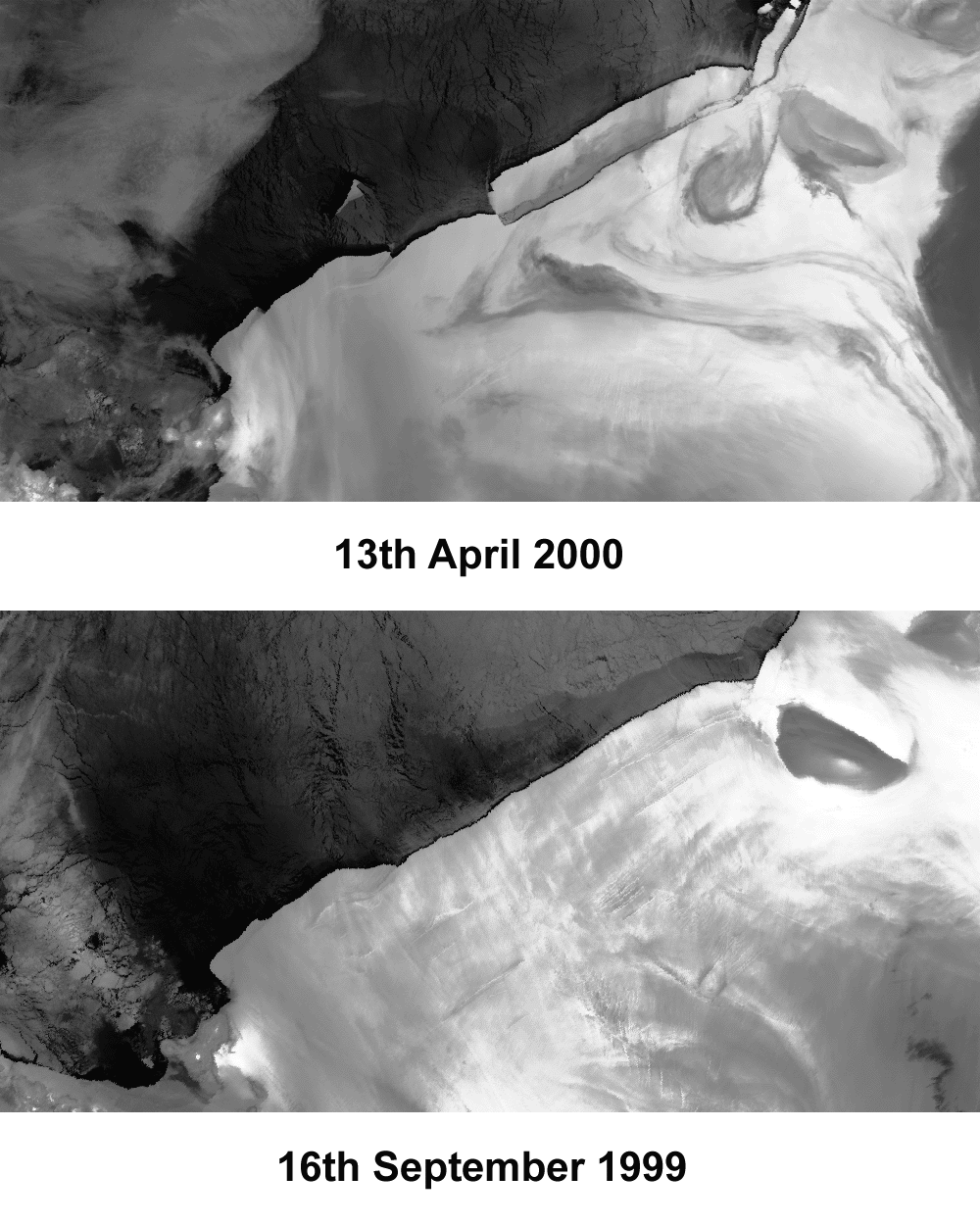

Left: "The images, taken by the ATSR-2 instrument on the ERS-2 European remote-sensing satellite, show the ice shelf as it was before the break-up (bottom, on 16 September 1999) and"
months after (top, 13 April 2000). "In the top image, you can see a new iceberg breaking off to the East (right) of the main iceberg." - Source: ESA, ATSR Project website
Right: "The tip of the ice tongue fractured after the impact with the iceberg, while an earlier chunk (top right) was wrenched off by strong winds." - Source: ESA, New Scientist
The 20.01.2005, Shaoni Bhattacharya wrote an article in New Scientist about the biggest remnant of B15, then B15-A: "ESA tracked the iceberg’s progress using its Envisat satellite, as its Advanced Synthetic Aperture Radar allows scientists to peer through polar clouds. The bottle-shaped iceberg is the largest floating object on Earth today, stretching 120 km in length, with an area of 2500 square kilometres."
In another article, he added:
"The icy colossus became stranded on a shallow seamount a few kilometres away from the 70-km-long tongue – starving penguins and blocking shipping supply routes to Antarctic bases. 'The iceberg eventually broke free from a seamount upon which it had run aground after tides and local currents caused the beached part of the giant berg to break up', said Mark Drinkwater, now head of ESA Earth and Mission Science Division in the Netherlands. Drinkwater says the monitoring of B15-A’s travels is providing the first 'extremely detailed record' of such an event, increasing the understanding of currents and glacial histories."
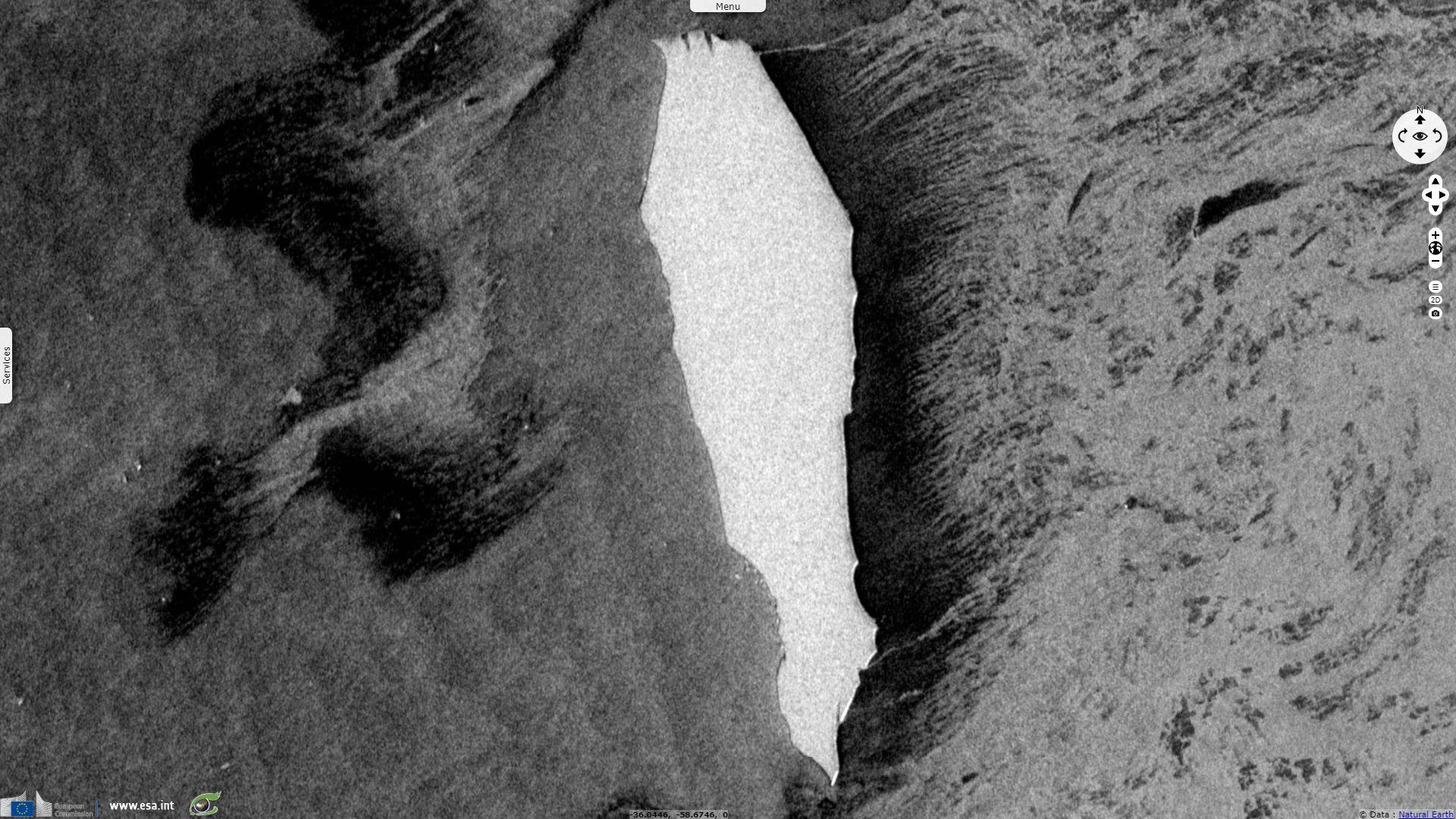
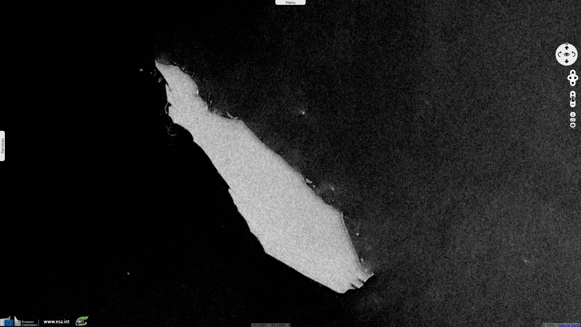
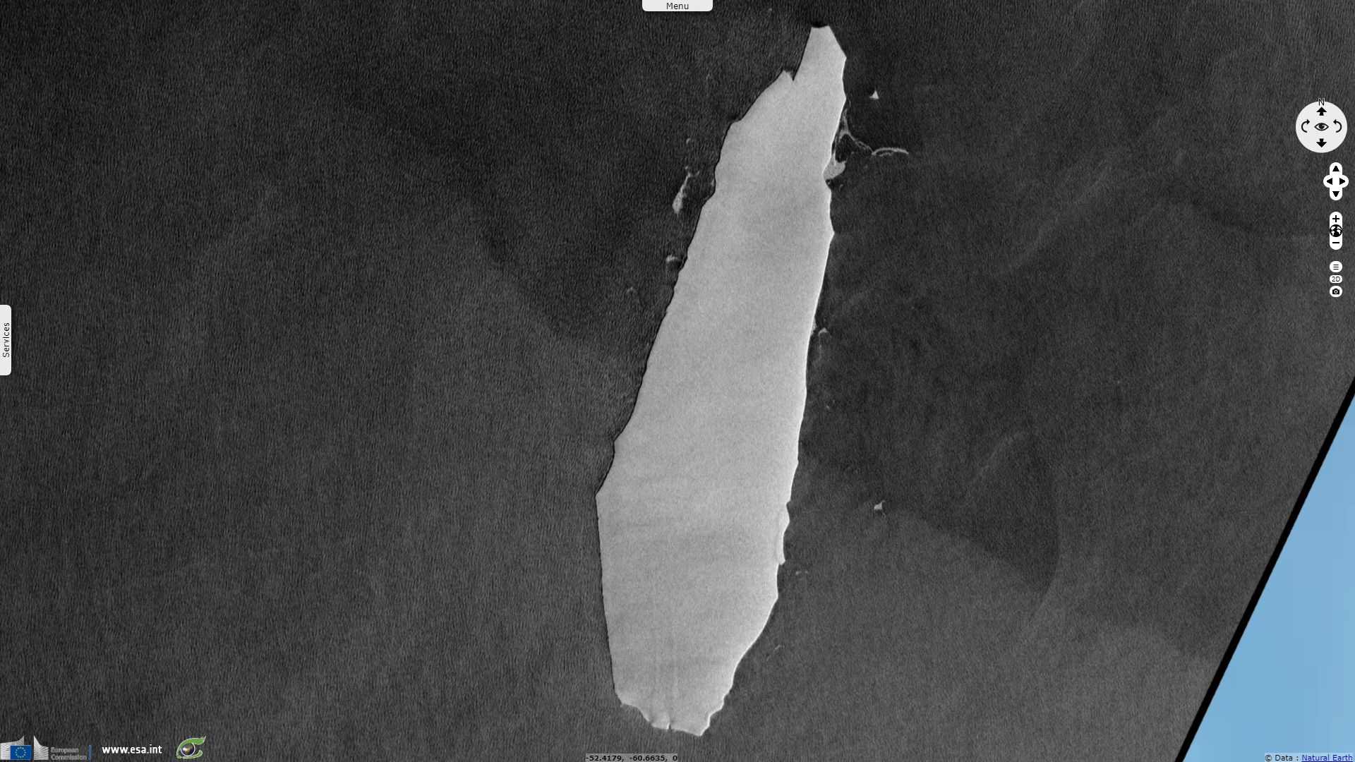
The largest chunk of B15-A is now the smaller B15-Z, still 50km long and almost 500km². It spent 18 years drifting 10000km, circling anti-clockwise around three-quarters of the Antarctic coast until the Antarctic peninsula lead it north-east past the Scotia Arc, beyond the Antarctic Ocean.
Now in the South Atlantic as it crosses South Georgia island, this big remnant reaches longitude similar to that of the southern tip of the American continent. It also drifted in an area that Sentinel-1 does not monitor, making its tracking weather-dependant. It should meet its end as it floats in these warmer waters, splintering in smaller and smaller pieces.
The views expressed herein can in no way be taken to reflect the official opinion of the European Space Agency or the European Union.
Contains modified Copernicus Sentinel data 2026, processed by VisioTerra.
Contains modified Copernicus Sentinel data 2026, processed by VisioTerra.
| More on European Commission space: |  |
 |
 |
||||
| More on ESA: | |
|
|
S-1 website | S-2 website | S-3 website | |
| More on Copernicus program: | |
|
|
Scihub portal | Cophub portal | Inthub portal | Colhub portal |
| More on VisioTerra: | |
|
|
Sentinel Vision Portal | Envisat+ERS portal | Swarm+GOCE portal | CryoSat portal |