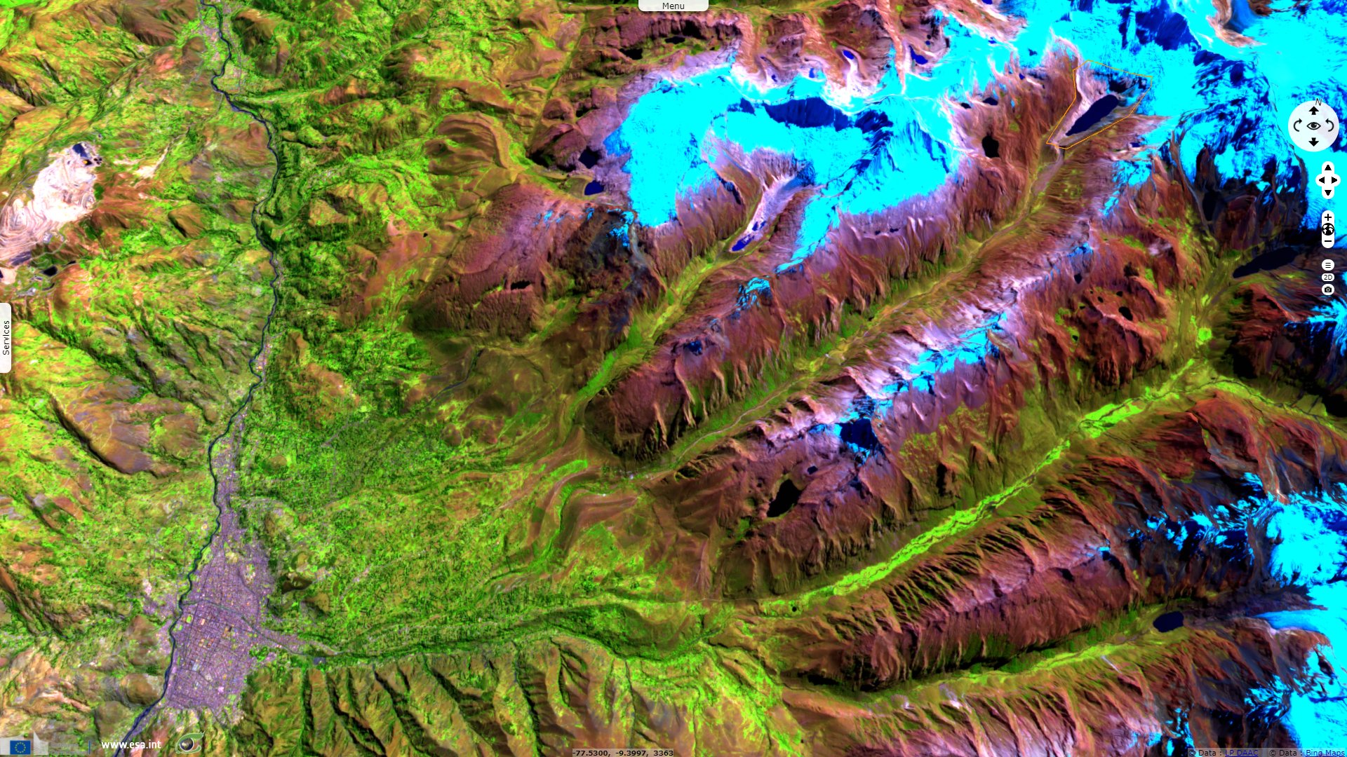
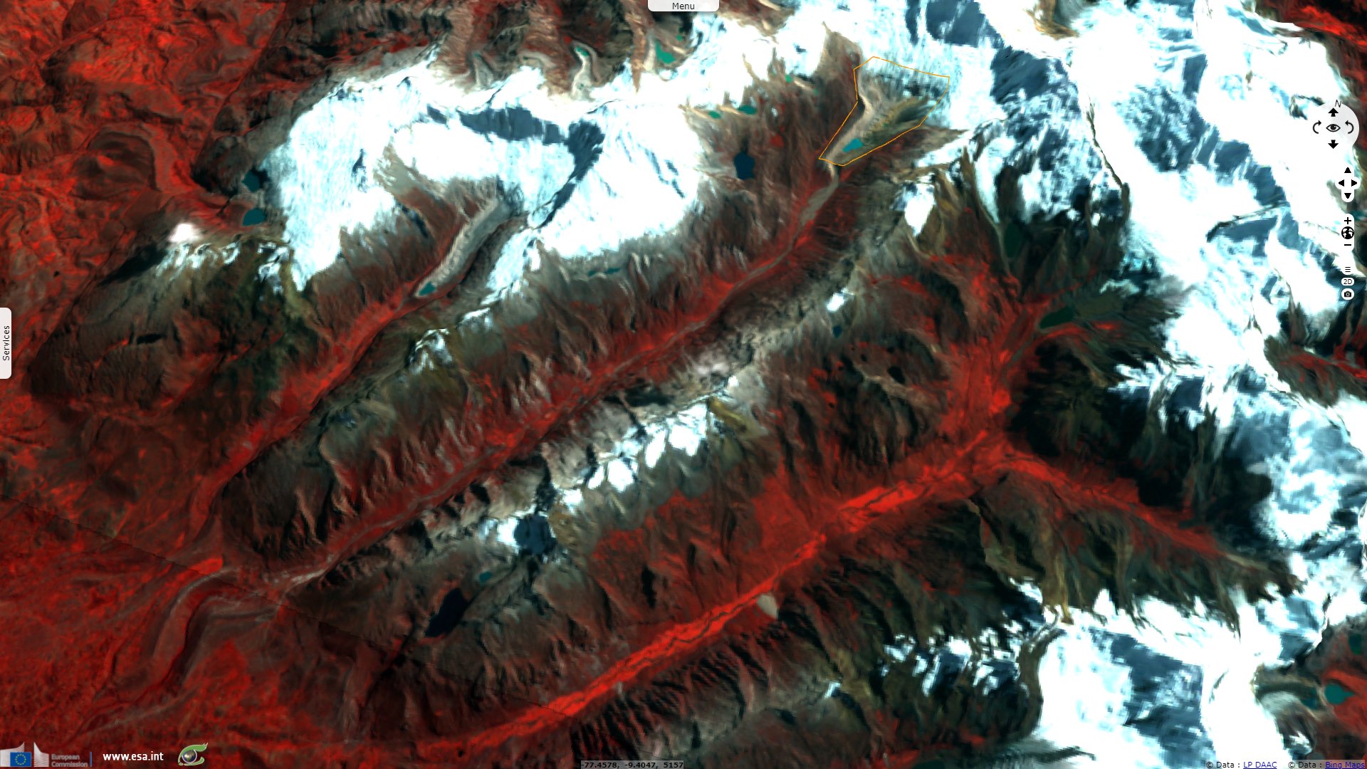
Risk of debris flow downstream of glaciers, Peru
Sentinel-1 CSAR IW acquired on 02 February 2016 at 10:46:34 UTC
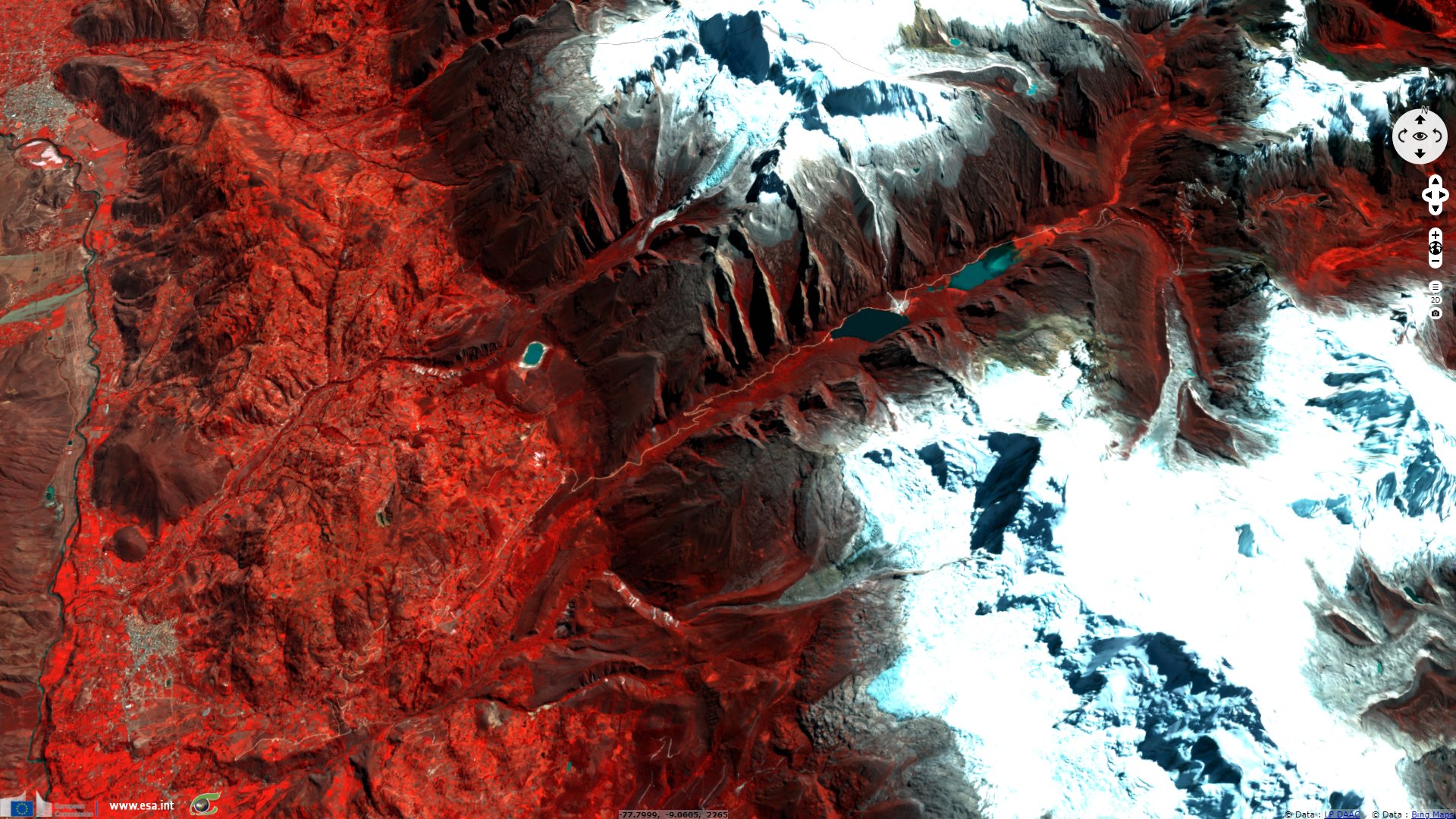
Sentinel-1 CSAR IW acquired on 16 May 2018 at 10:45:59 UTC
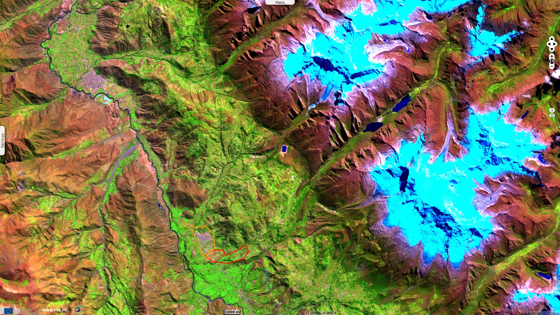
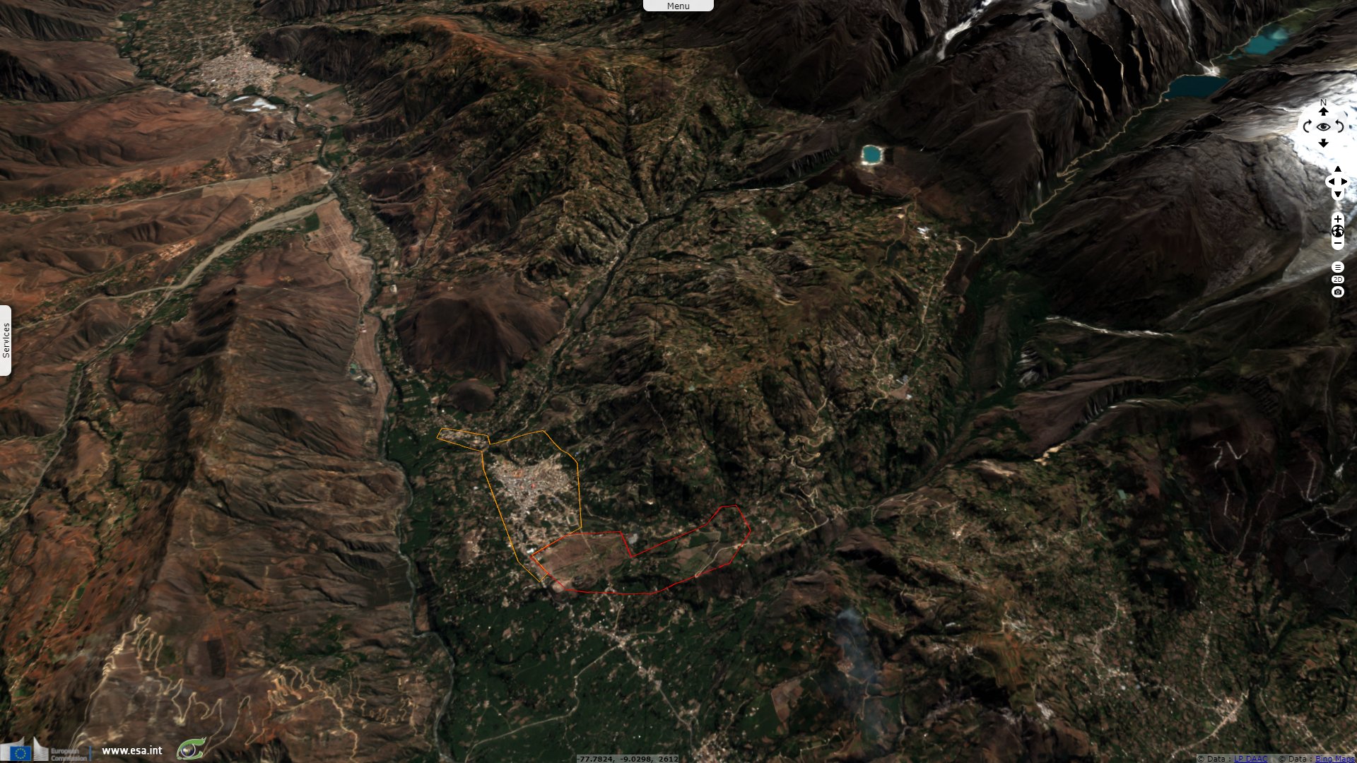
Sentinel-2 MSI acquired on 23 June 2018 at 15:26:39 UTC
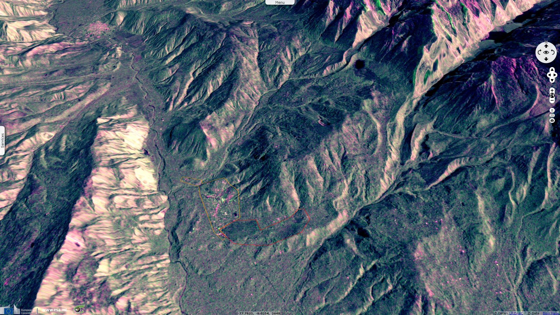
Sentinel-1 CSAR IW acquired on 17 February 2021 at 10:46:16 UTC
Sentinel-1 CSAR IW acquired on 17 June 2021 at 10:46:20 UTC
Sentinel-1 CSAR IW acquired on 16 May 2018 at 10:45:59 UTC
Sentinel-2 MSI acquired on 23 June 2018 at 15:26:39 UTC
Sentinel-1 CSAR IW acquired on 17 February 2021 at 10:46:16 UTC
Sentinel-1 CSAR IW acquired on 17 June 2021 at 10:46:20 UTC
Keyword(s): Geohazard, cryosphere, glacier, climate change, global warming, lake, earthquake, landslide, urban planning.
In 1962 an avalanche killed 4000 people of Yungay. On 31 May 1970, an earthquake caused an unstable mass of glacial ice to fall of the 6746m high mountain, causing a debris avalanche. Over 50 million m3 of debris slid approximately 15 km downhill, reaching speeds between 500 and 1000 km/h. It buried Yungay and Ranrahirca which of only 400 out of 20 000 inhabitants survived.
The views expressed herein can in no way be taken to reflect the official opinion of the European Space Agency or the European Union.
Contains modified Copernicus Sentinel data 2026, processed by VisioTerra.
Contains modified Copernicus Sentinel data 2026, processed by VisioTerra.
| More on European Commission space: |  |
 |
 |
||||
| More on ESA: | |
|
|
S-1 website | S-2 website | S-3 website | |
| More on Copernicus program: | |
|
|
Scihub portal | Cophub portal | Inthub portal | Colhub portal |
| More on VisioTerra: | |
|
|
Sentinel Vision Portal | Envisat+ERS portal | Swarm+GOCE portal | CryoSat portal |