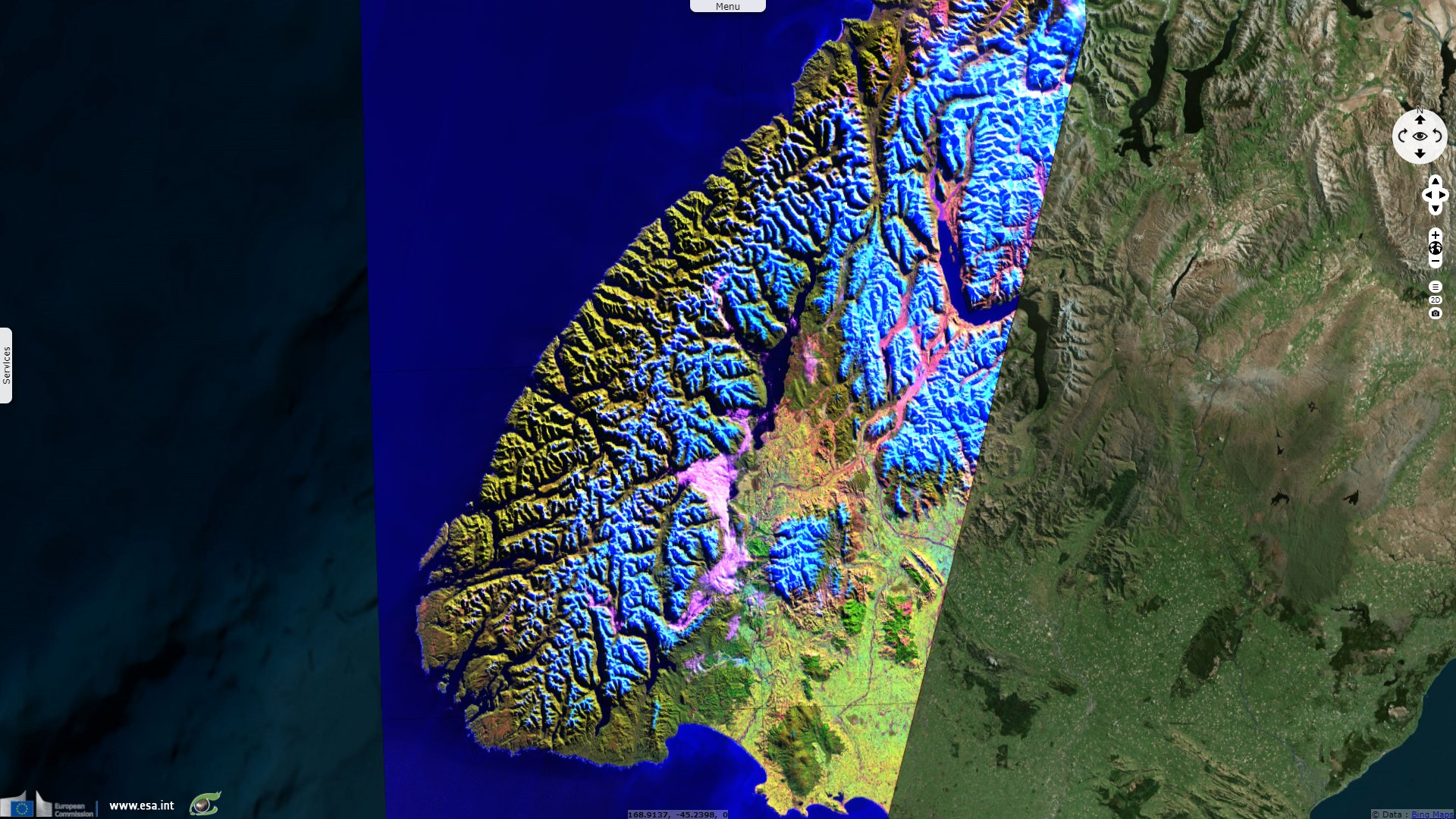
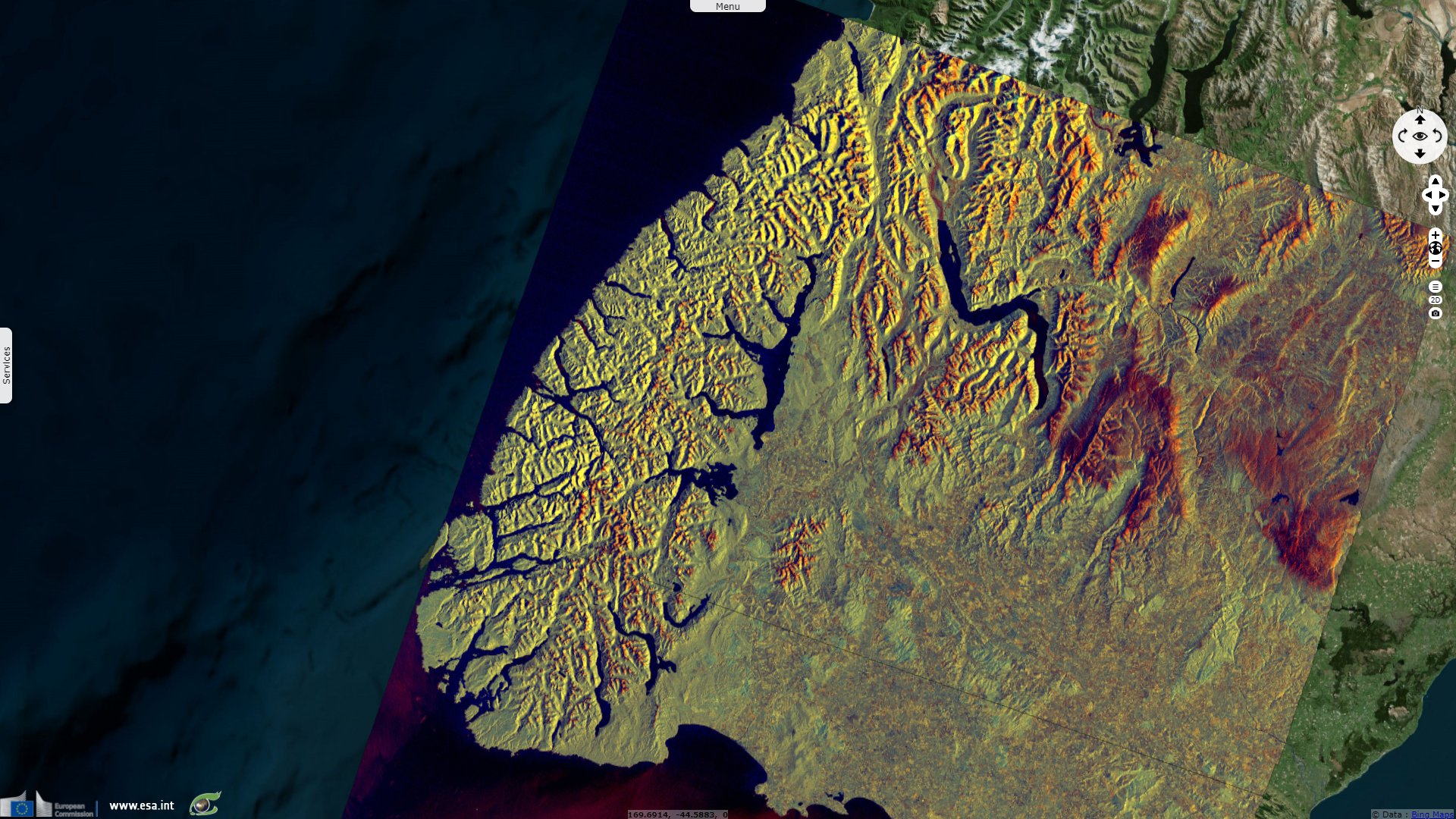
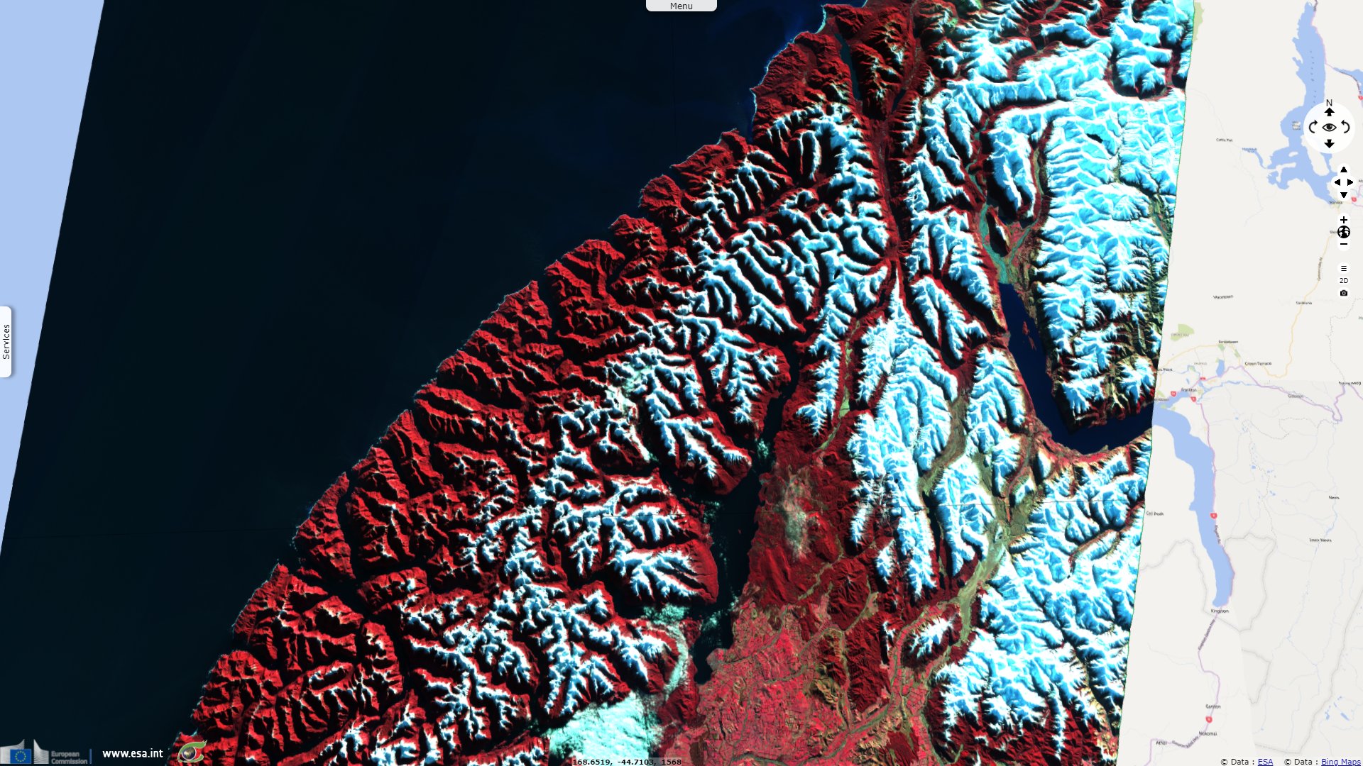
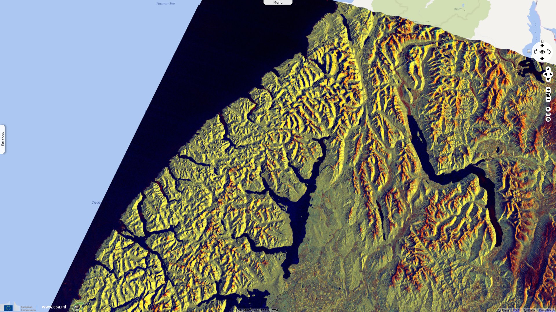
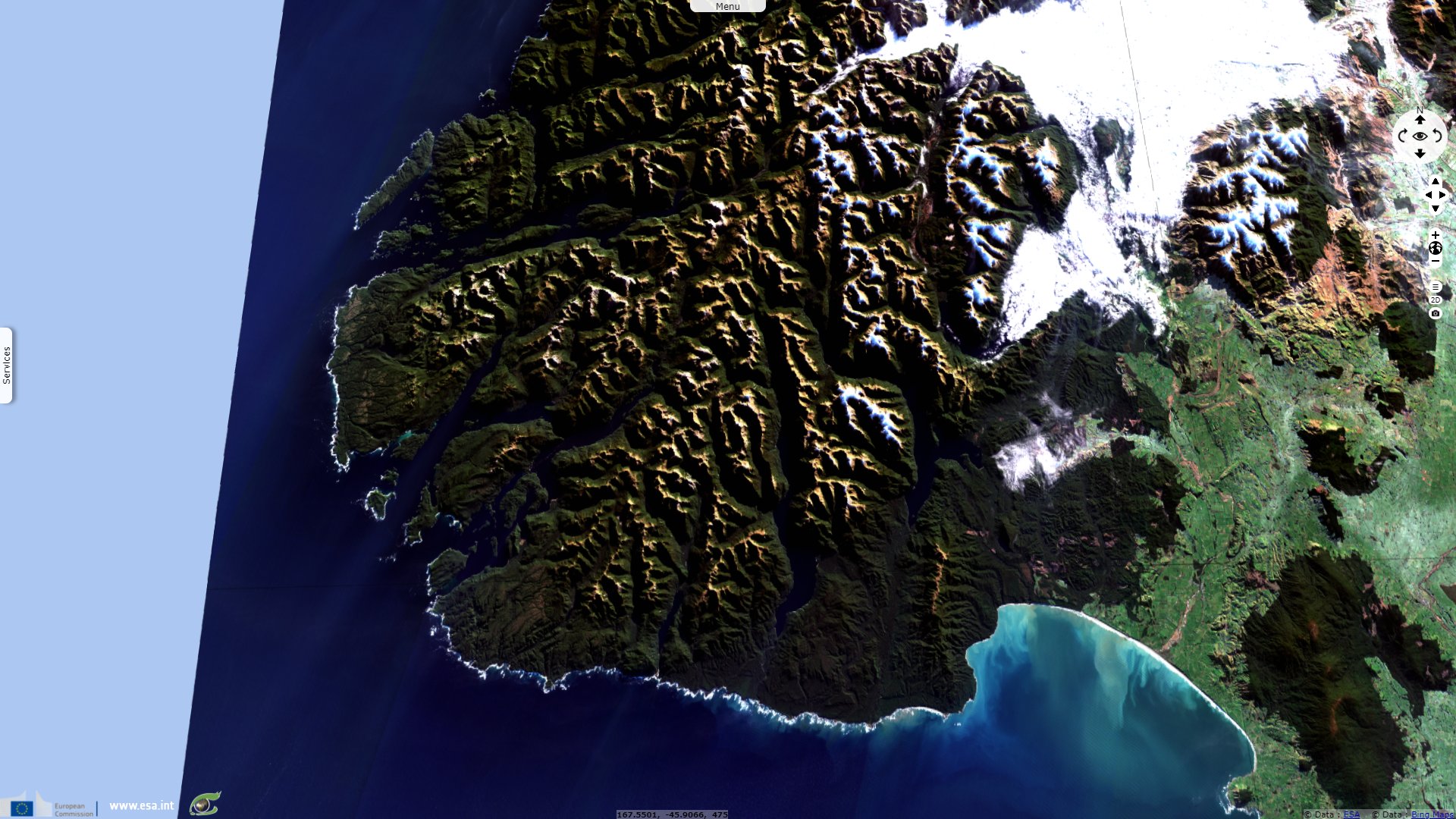
Fiordland National Park, Southern Alps, New Zealand
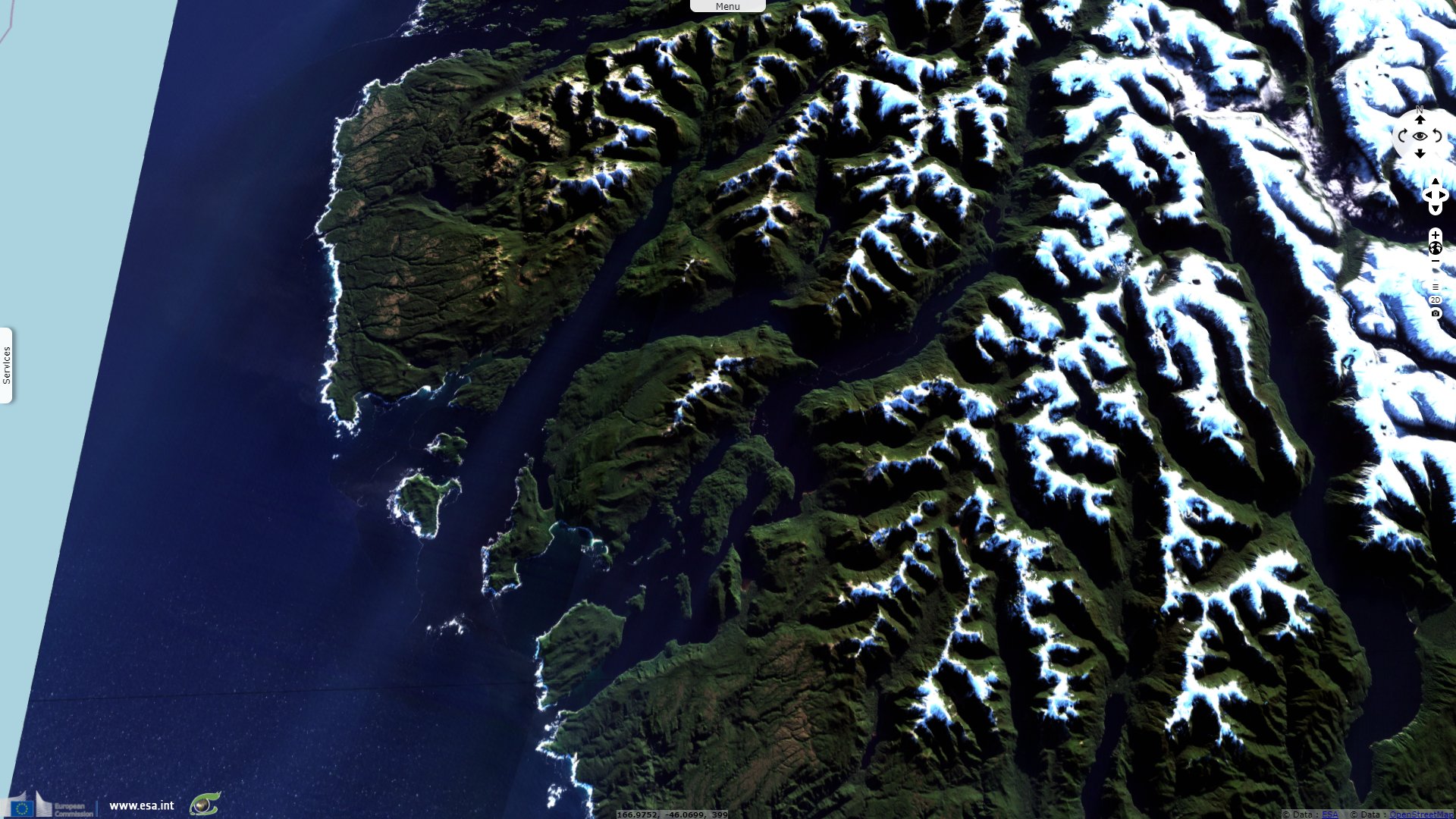
Sentinel-2 MSI acquired on 18 June 2020 at 22:48:09 UTC
Sentinel-2 MSI acquired on 18 June 2021 at 22:48:11 UTC
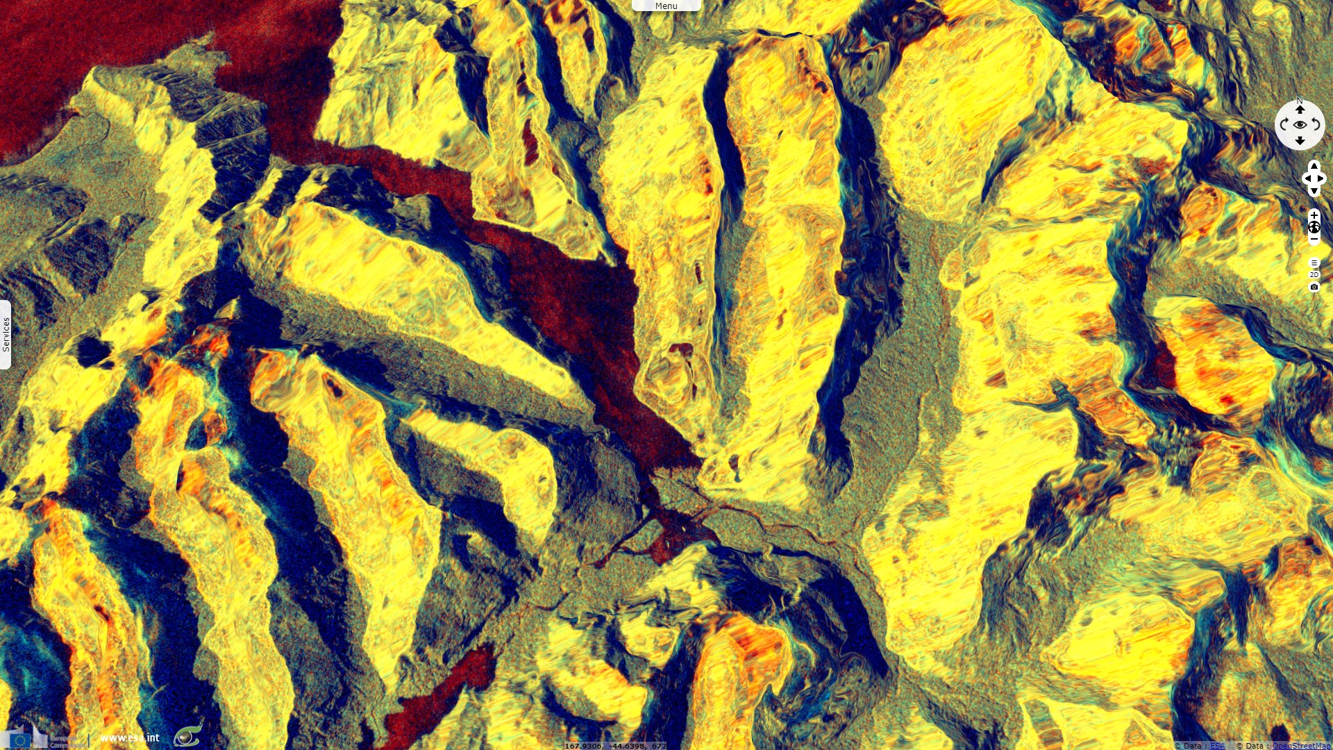
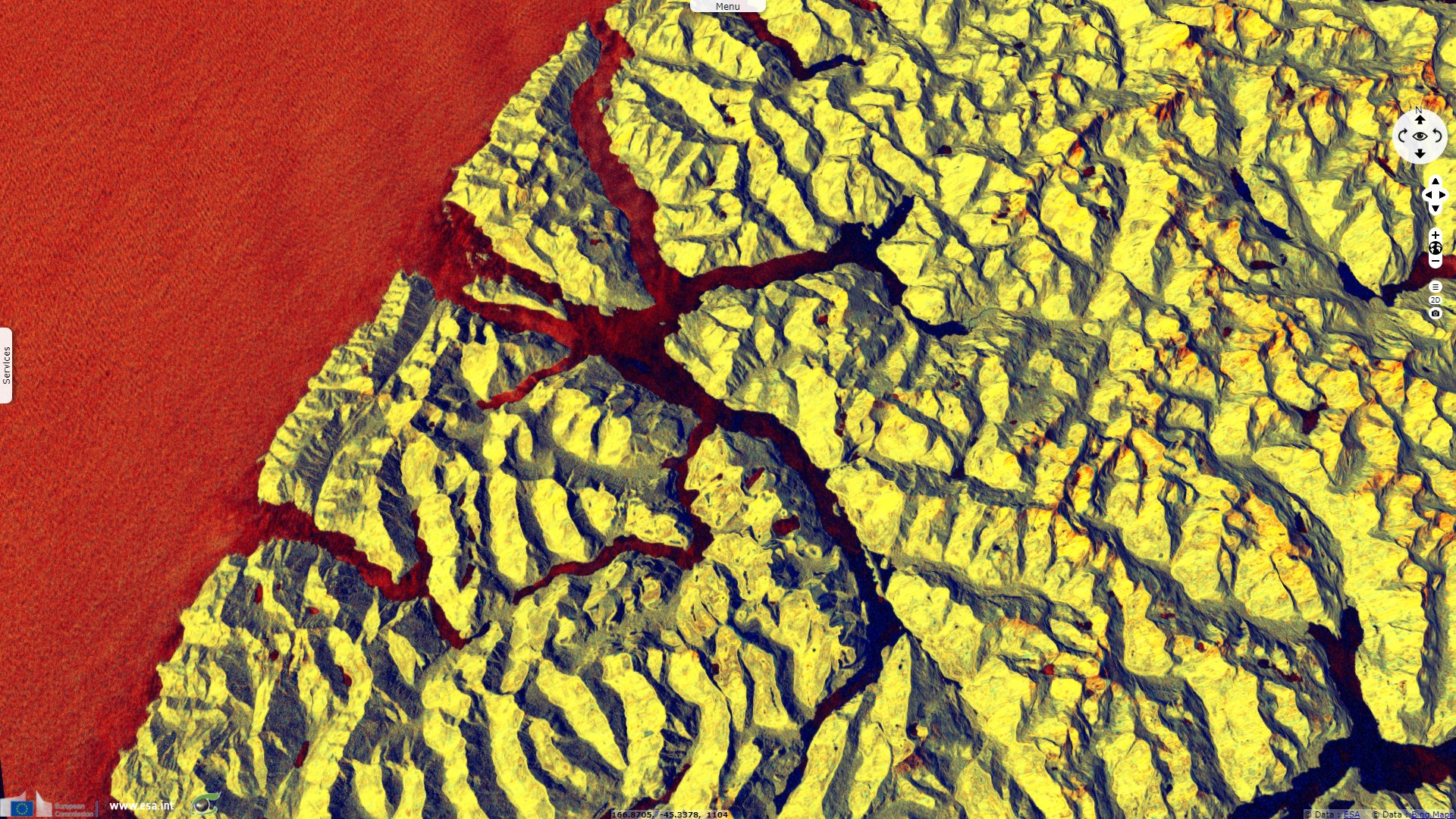
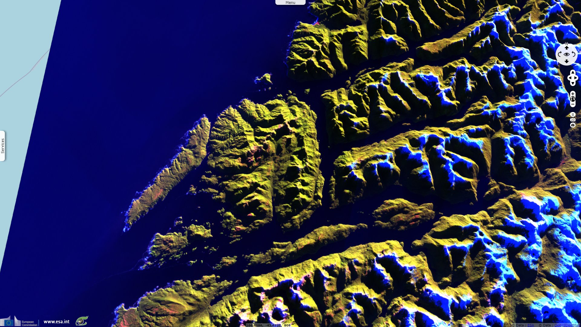
Sentinel-1 CSAR IW acquired on 15 July 2021 from 17:48:34 to 17:48:59 UTC
Sentinel-1 CSAR IW acquired on 25 July 2021 at 07:46:21 UTC
Sentinel-1 CSAR IW acquired on 30 July 2021 from 07:53:56 to 07:54:25 UTC
Sentinel-2 MSI acquired on 18 June 2021 at 22:48:11 UTC
Sentinel-1 CSAR IW acquired on 15 July 2021 from 17:48:34 to 17:48:59 UTC
Sentinel-1 CSAR IW acquired on 25 July 2021 at 07:46:21 UTC
Sentinel-1 CSAR IW acquired on 30 July 2021 from 07:53:56 to 07:54:25 UTC
Keyword(s): Coastal, cryosphere, fjord, mountain, glacier, snow, national park, biodiversity, UNESCO World Heritage site, NZ
Fiordland National Park is one of New Zealand’s treasured natural icons and is internationally recognised as part of the wider UNESCO World Heritage site, Te Wāhipounamu (Place of the Greenstone). The UNESCO World Heritage sheet describes the park as follows: "Located in the south-west corner of New Zealand’s’ South Island, Te Wähipounamu – South West New Zealand covers 10% of New Zeland’s landmass (2.6 million hectares) and is spread over a 450 km strip extending inland 40 - 90 km from the Tasman Sea. The property exhibits many classic examples of the tectonic, climatic, and glacial processes that have shaped the earth."
"The great Alpine Fault divides the region and marks the contact zone of the Indo-Australian and Pacific continental plates making it one of only three segments of the world’s major plate boundaries on land. Collision between the two tectonic plates constructs the main mountain range, known as the Southern Alps/Kä Tiritiri o te Moana, which rise to nearly 4000 m altitude within a mere 30km from the sea."
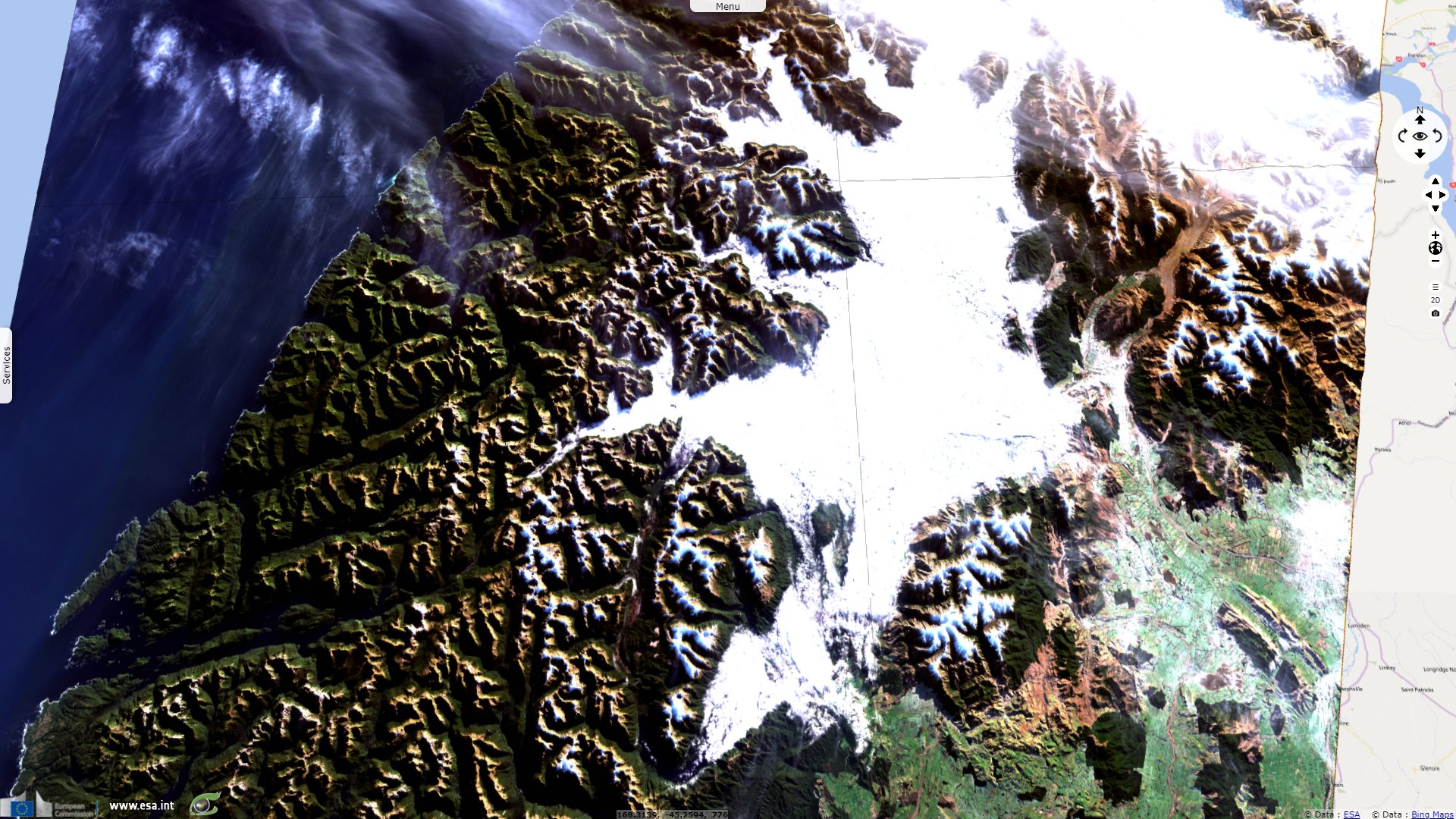
"Overwhelmingly a mountainous wilderness, including significant piedmont surfaces in the north-west glaciation, both historic and modern, is a dominant landscape feature". Among its spectacular landforms, it includes the 15 fiords which deeply indent the Fiordland coastline.
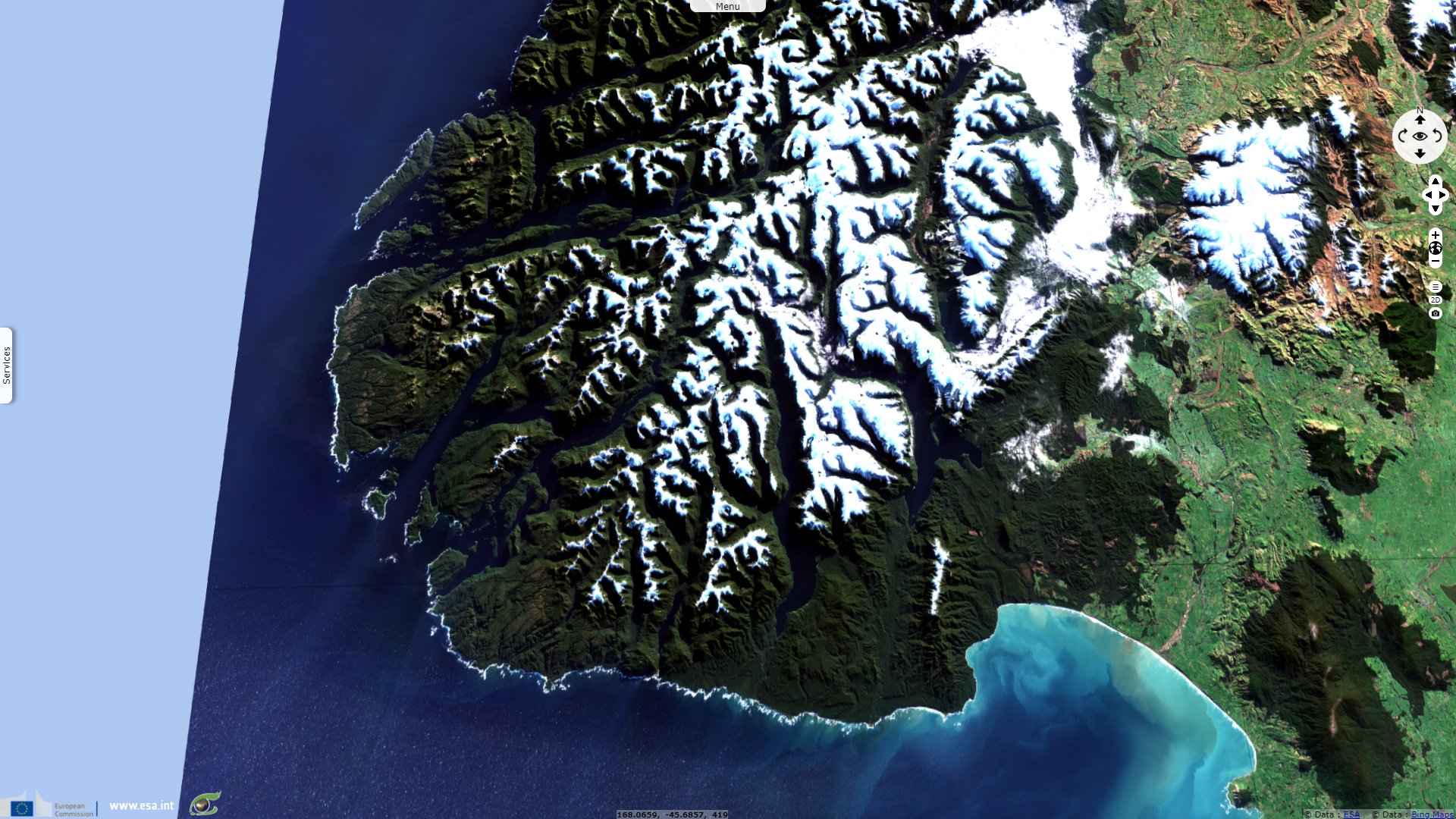
The official National Park website adds: "It is home to glaciers, alpine ranges and unique flora and fauna that has been in existence since New Zealand was part of the supercontinent Gondwanaland. Fiordland National Park itself covers 1.2 million hectares of mountain, lake, fiord and rainforest environments and is administered by the Department of Conservation. Human activity within Fiordland has been limited because of its challenging and wild landscapes."
"Early Māori visited Fiordland for hunting, fishing and gathering takiwai (a unique form of New Zealand jade or pounamu). Much later, European sealers and whalers took shelter in the fiords and built a handful of small settlements, these being New Zealand’s earliest European settlements. But overall the sheer steepness of the terrain, the incredible isolation, and the wettest climate in New Zealand deterred all but the hardiest from settling in the region."
The park's most visited feature is Piopiotahi or Milford Sound, described as follows: "Beginning under the watchful eye of Rahotu / Mitre Peak, Piopiotahi / Milford Sound runs 16 kilometres to the Tasman Sea. Within this steep and narrow, glacially-carved valley, a treasure-trove of ecological delights awaits. Discover dolphins, penguins and seals safe within the protection of the Piopiotahi (Milford Sound) Marine Reserve.
Piopiotahi / Milford Sound is a landscape commanded by water. The area receives around 6.5 - 7 metres of rainfall each year and has been known to receive up to 9 metres, making it the wettest inhabited place on the planet."
More remote and deeper, Patea, known in English as Doubtful Sound is advertised as such: "Patea / Doubtful Sound spans a staggering 40 kilometres from the head of the fiord to the Tasman Sea. It is the deepest of New Zealand’s 14 fiords. The fiord branches into three arms. With no road to the fiord, the experience of getting to Doubtful Sound is an adventure in itself. Patea / Doubtful Sound is only accessible to visitors by a tour excursion departing from Manapouri."
The views expressed herein can in no way be taken to reflect the official opinion of the European Space Agency or the European Union.
Contains modified Copernicus Sentinel data 2026, processed by VisioTerra.
Contains modified Copernicus Sentinel data 2026, processed by VisioTerra.
| More on European Commission space: |  |
 |
 |
||||
| More on ESA: | |
|
|
S-1 website | S-2 website | S-3 website | |
| More on Copernicus program: | |
|
|
Scihub portal | Cophub portal | Inthub portal | Colhub portal |
| More on VisioTerra: | |
|
|
Sentinel Vision Portal | Envisat+ERS portal | Swarm+GOCE portal | CryoSat portal |