Visit to Black Hills National Forest, South Dakota, USA
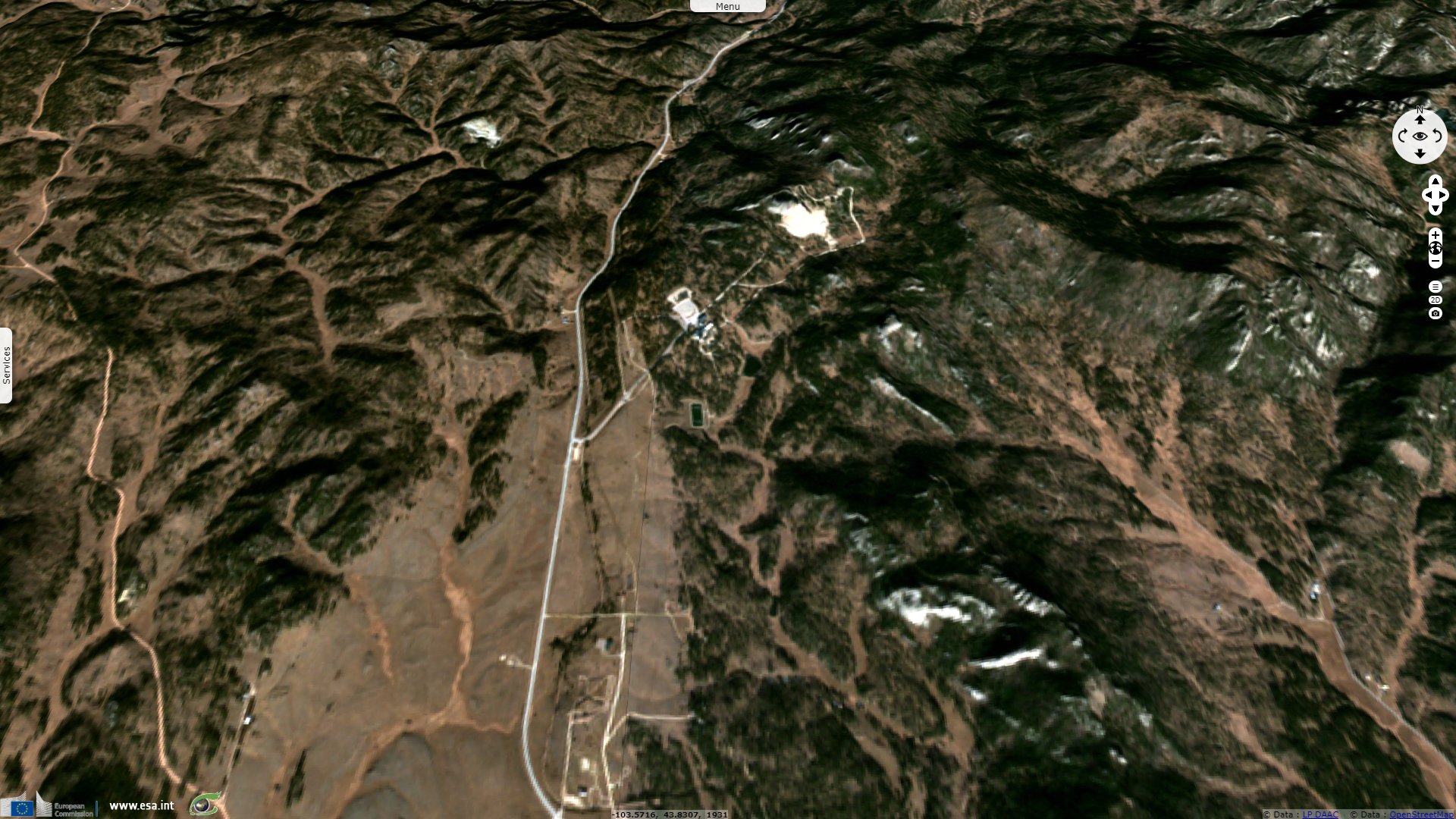
Sentinel-2 MSI acquired on 26 June 2016 at 17:49:12 UTC
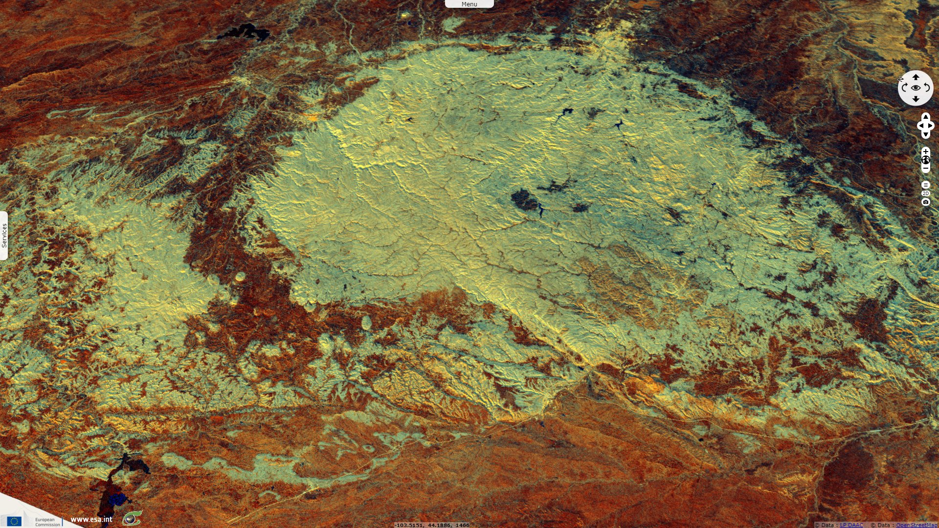
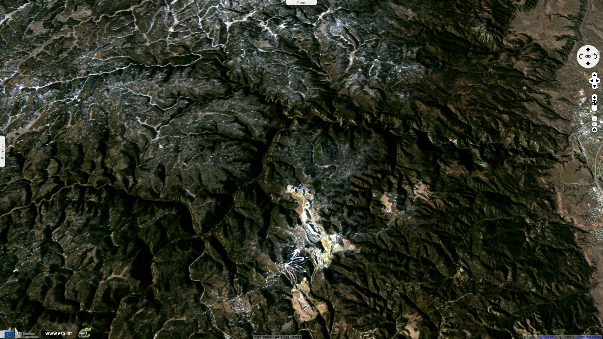
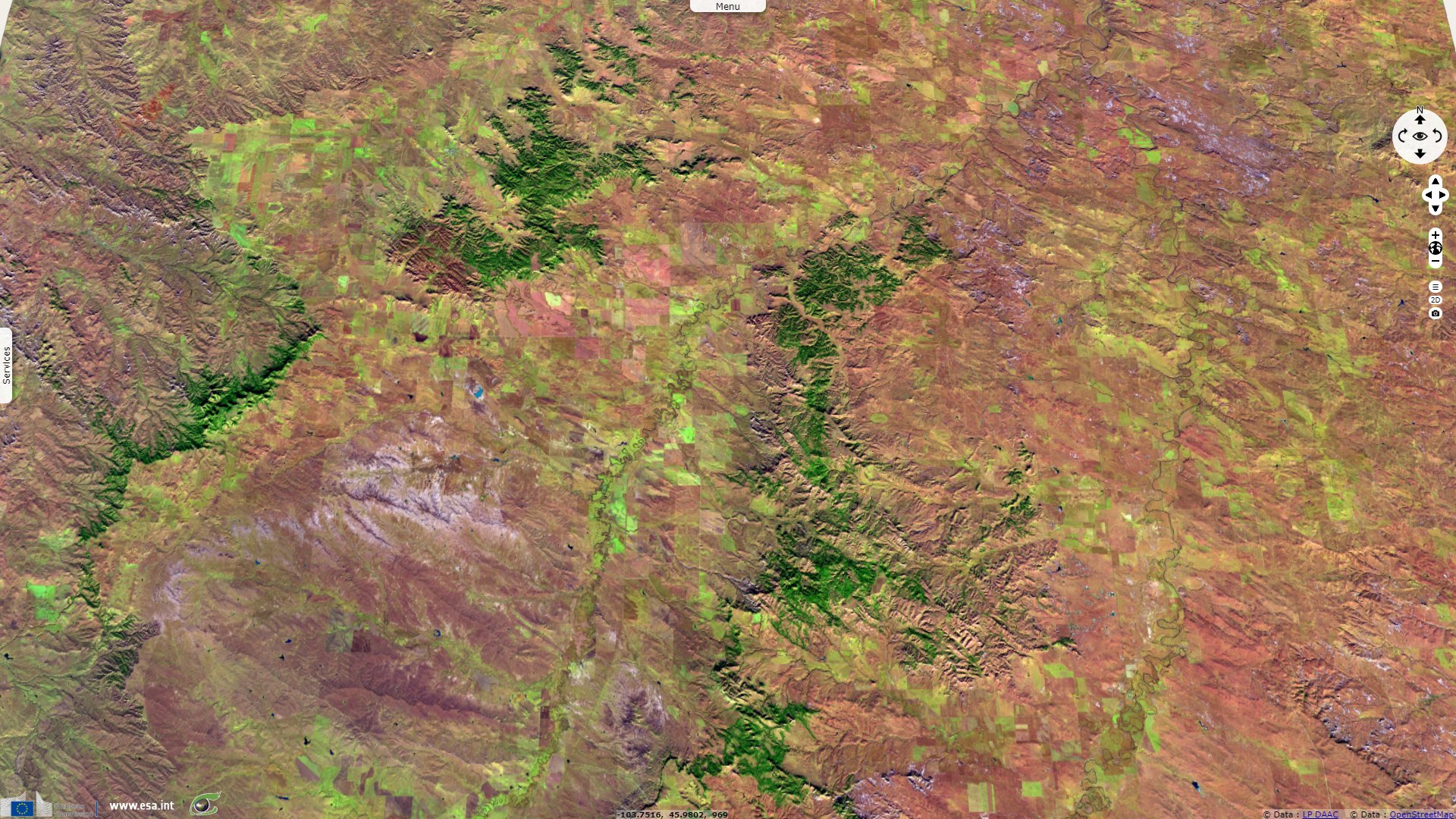
Sentinel-2 MSI acquired on 28 November 2017 at 17:57:01 UTC
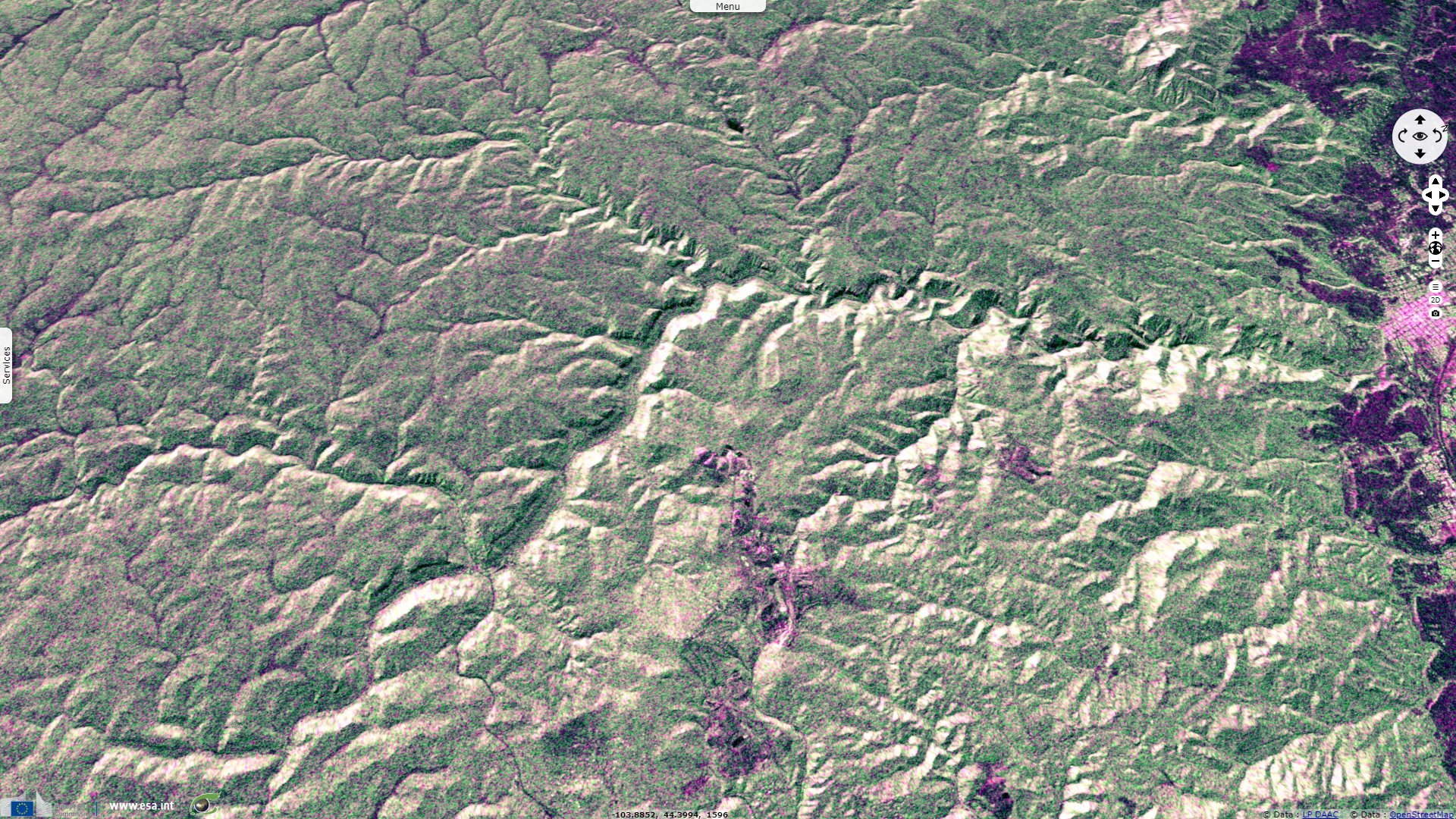
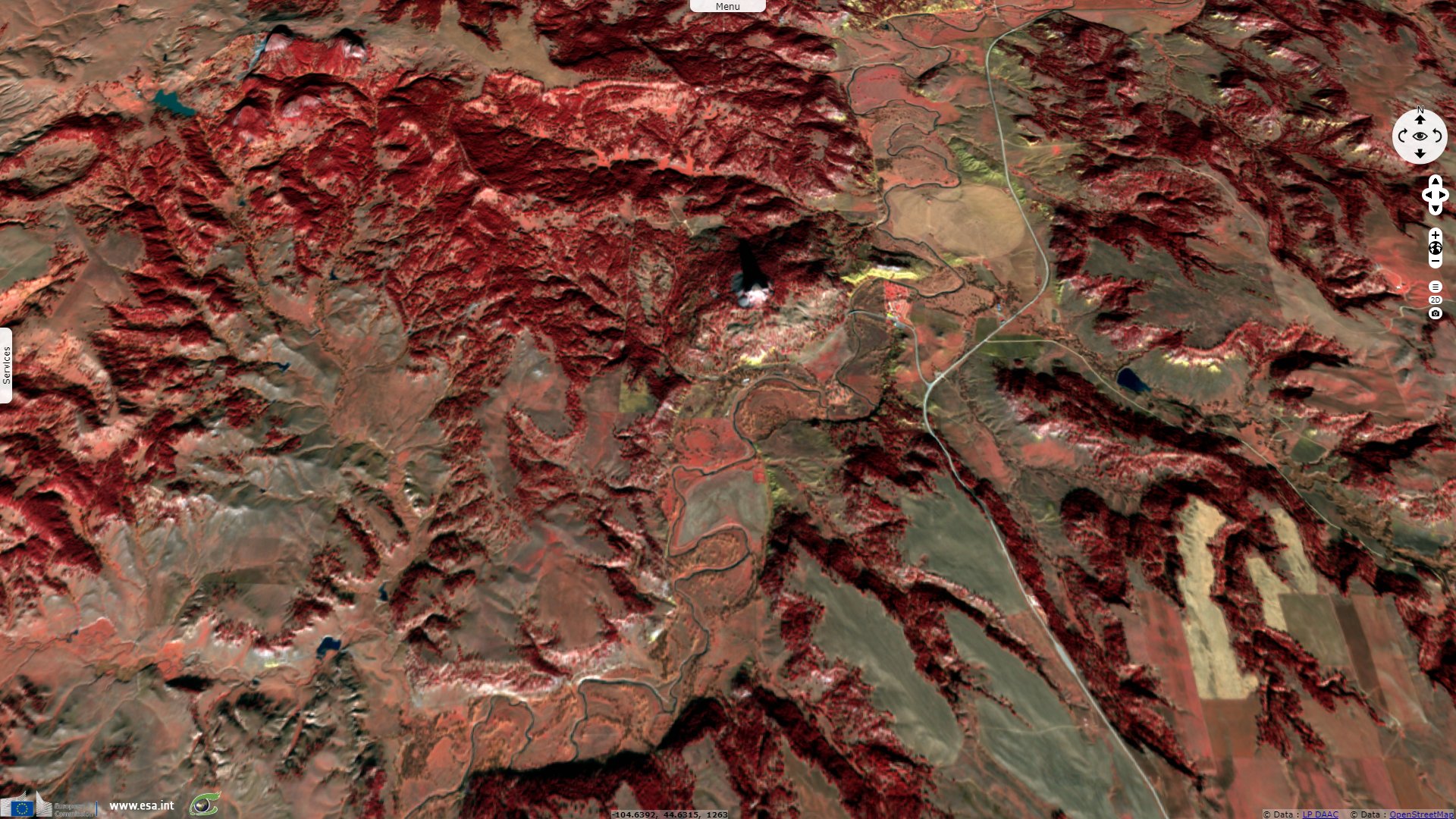
Sentinel-2 MSI acquired on 30 November 2017 at 17:46:59 UTC
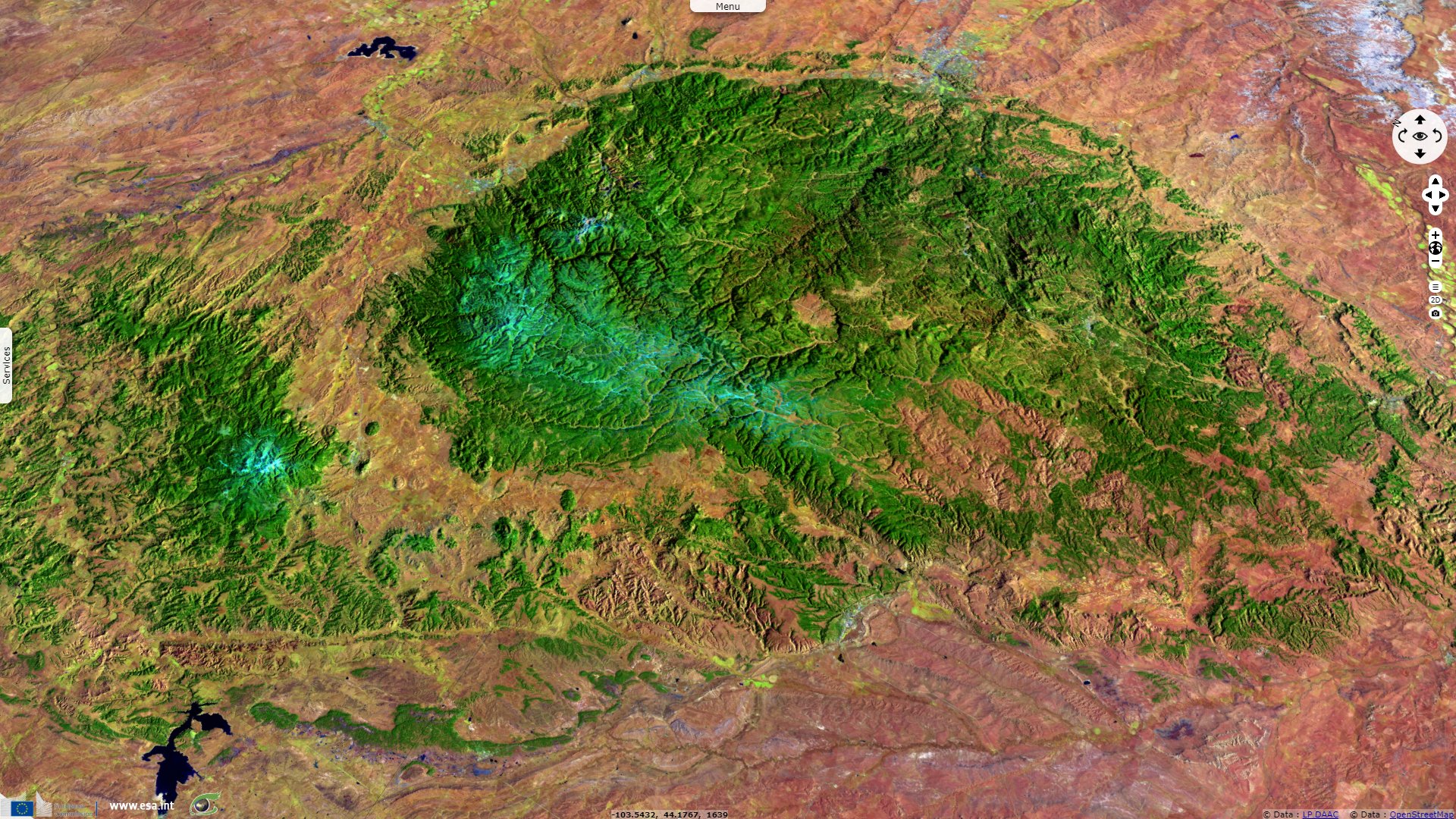
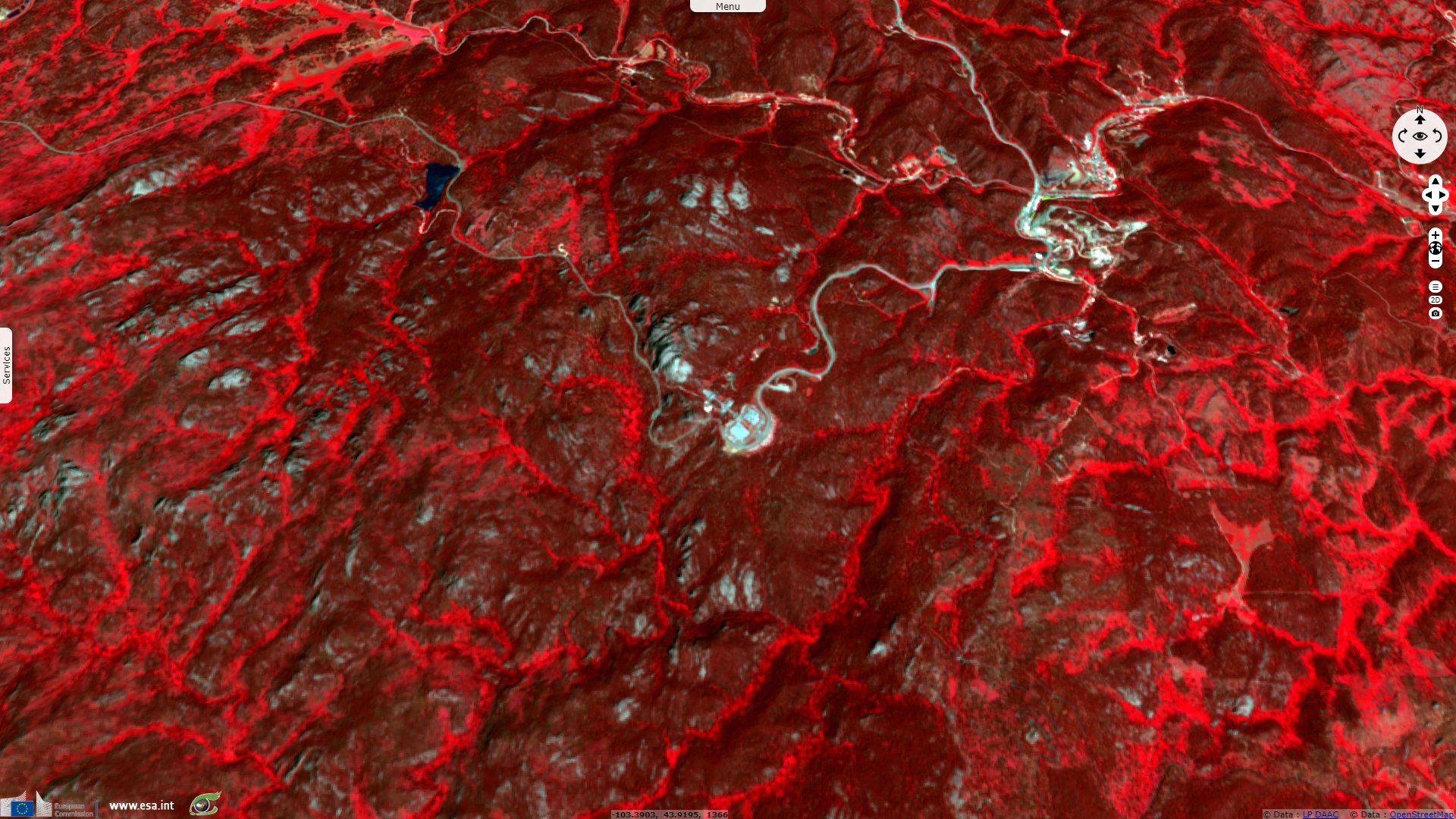
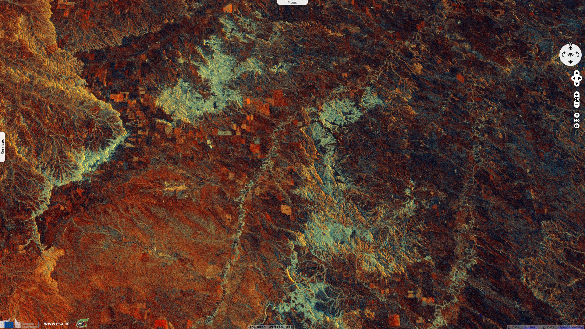
Sentinel-1 CSAR IW acquired on 08 November 2018 from 00:46:05 to 00:46:55 UTC
Sentinel-2 MSI acquired on 28 November 2017 at 17:57:01 UTC
Sentinel-2 MSI acquired on 30 November 2017 at 17:46:59 UTC
Sentinel-1 CSAR IW acquired on 08 November 2018 from 00:46:05 to 00:46:55 UTC
Keyword(s): Forest, mountain, National Park, canyon, United States, USA.
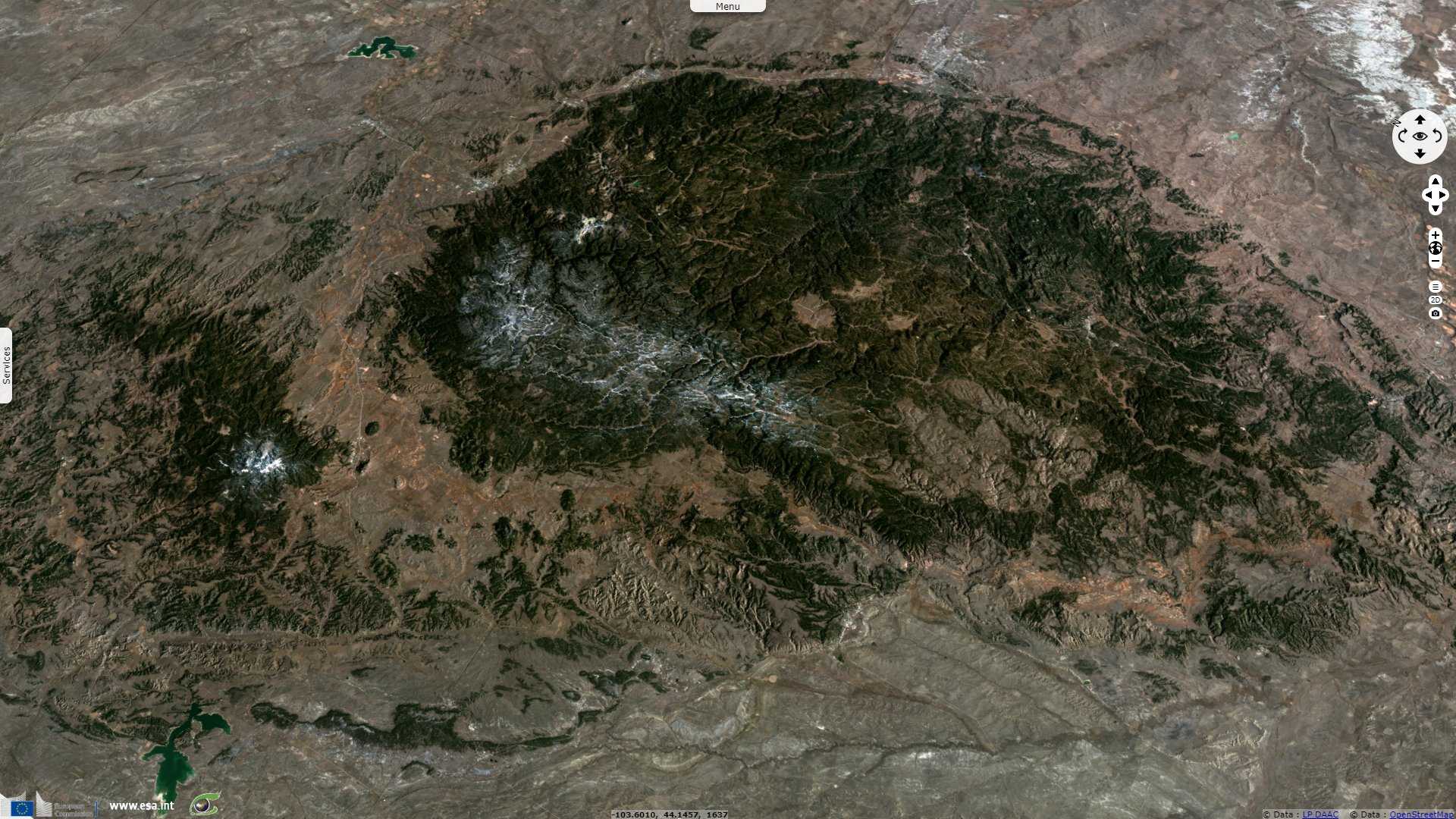
Black Hills National Forest is located in the South Dakota state, at the border with North Dakota and Wyoming states. The US forest service describes it as follows: "President Grover Cleveland established the Black Hills National Forest in 1897 as the Black Hills Forest Reserve. Now in its second century, the USDA Forest Service manages these 1.2 million acres of public lands for a diversity of wildlife and fish, recreation, water production, livestock grazing, timber harvest, wilderness and other uses."
"The timbered mountains of the Black Hills National Forest continue 10 to 40 miles beyond the South Dakota border, west into Wyoming and cover an area that is 125 miles long and 65 miles wide. Visitors will find rugged rock formations, canyons, grasslands, streams, lakes and unique caves. Recreational opportunities for visitors include 11 reservoirs, 30 campgrounds, two scenic byways, 1,300 miles of streams, 13,605 acres of wilderness, over 450 miles of trails and much more."
"The name “Black Hills” comes from the Lakota words Paha Sapa, which mean “hills that are black.” From a distance, these pine-covered hills, rising several thousand feet above the surrounding prairie, appear to be black. The Hills are diverse in cultural heritage. The earliest known use of the area occurred about 10,000 years ago. Later, Native Americans came to the Black Hills to seek visions and to purify themselves. Paha Sapa was considered a sanctuary and was a peaceful meeting ground for tribes at war. Exploration of the Black Hills by fur traders and trappers occurred in the 1840s. In 1874, General Custer led an Army exploration into the area and discovered gold. When word got out of the discovery of gold in the Black Hills, settlers soon followed."
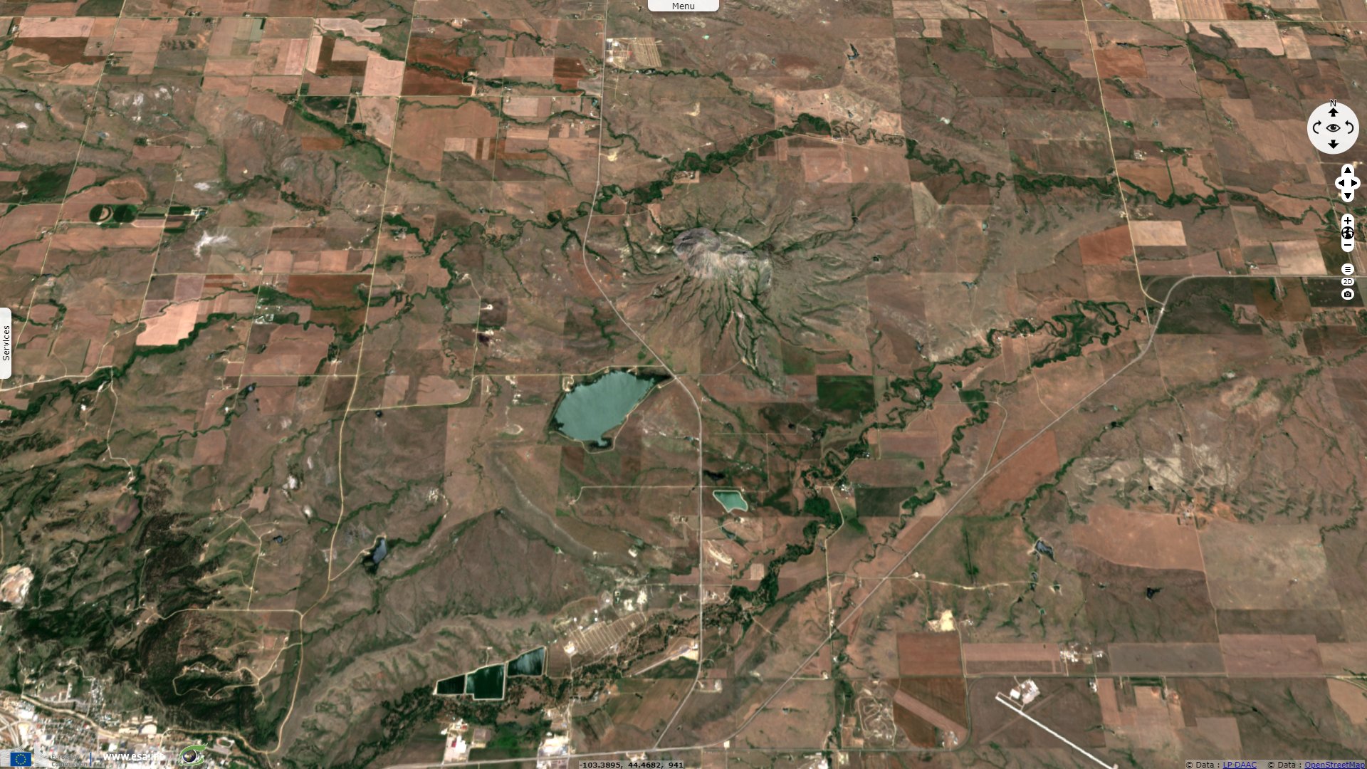
"Mato Paha or 'Bear Mountain' is the Lakota name given to Bear Butte State Park. This geological formation is one of several intrusions of igneous rock in the Black Hills that formed millions of years ago. From the 4,426 foot summit, you can view four states."
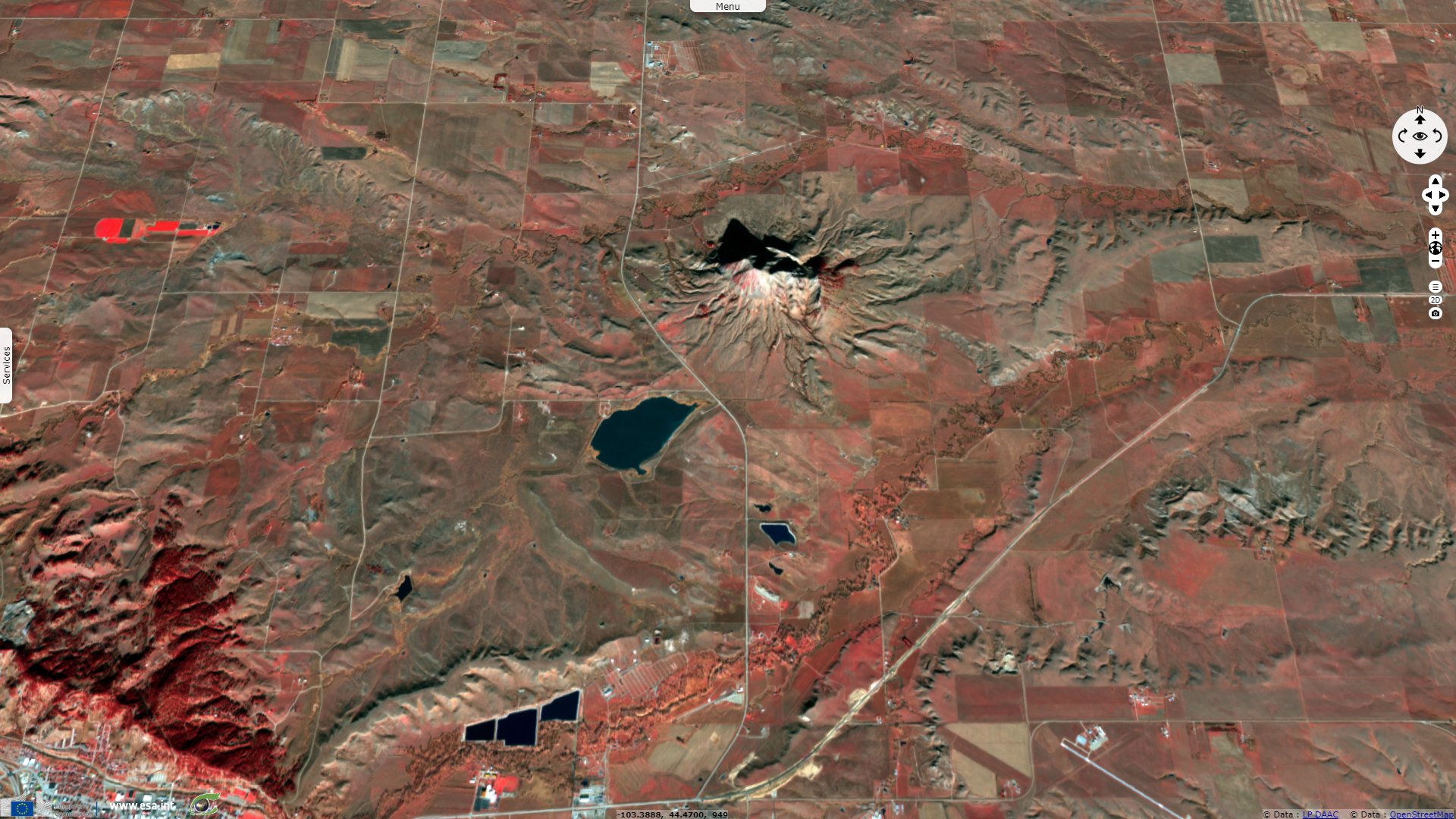
"The mountain is sacred to many American Indian tribes who come here to hold religious ceremonies. Artifacts dating back 10,000 years have been found near Bear Butte. In more recent times, however, the Cheyenne and Lakota people have maintained a spiritual tie to this mountain. Notable leaders including Red Cloud, Crazy Horse and Sitting Bull have all visited Bear Butte. These visits culminated with an 1857 gathering of many Indian nations to discuss the advancement of white settlers into the Black Hills."
"Its idyllic setting in a side canyon to Spearfish Canyon makes Roughlock Falls one of the Black Hills most beautiful areas and also one the area's most-photographed spots. Created by Little Spearfish Creek, the creek flows down a spectacular chasm, then tumbles off a 50-foot limestone ledge in a series of lacy cascades."
"Mount Rushmore National Memorial is a large-scale mountain sculpture by artist Gutzon Borglum. The figures of America's most prominent U.S. presidents--George Washington, Thomas Jefferson, Abraham Lincoln, and Theodore Roosevelt—represent 150 years of American history.
The Memorial is located near Keystone in the Black Hills of South Dakota, roughly 30 miles from Rapid City. Each year, approximately three million tourists from all over the world visit Mount Rushmore to experience this patriotic site. Today, the wonder of the mountain reverberates through every visitor. The four "great faces" of the presidents tower 5,725 feet above sea level and are scaled to men who would stand 465 feet tall."
"A Lakota Sioux warrior, a famed artist, his family and a canvas composed of granite are the elements that comprise the legendary past, present and future of the Crazy Horse Memorial.
Sculptor Korczak Ziolkowski began the world’s largest mountain carving in 1948. Members of his family and their supporters are continuing his artistic intent to create a massive statue that will be 641 feet long and 563 feet high. To give that some perspective, the heads at Mount Rushmore National Memorial are each 60 feet high. Workers completed the carved 87½-foot-tall Crazy Horse face in 1998, and have since focused on thinning the remaining mountain to form the 219-foot-high horse’s head.
Crazy Horse Memorial hosts between 1 and 1½ million visitors a year. The number of foreign travelers, particularly group tours from Asia, is increasing. The Indian Museum of North America, and the adjoining Welcome Center and Native American Educational and Cultural Center, feature more than 12,000 contemporary and historic items, from pre-Colombian to contemporary times. The new Mountain Museum wing helps explain the work behind the scenes, augmenting the introductory “Dynamite & Dreams” movie at the Welcome Center."
"Often described as 'islands of green in a sea of rolling prairie,' visitors will find mesas of Ponderosa pine rising above the rolling grasslands. The Custer National Forest was formed in 1905 and is rich in history of the West, with preserved and protected Native American hieroglyphics and burial grounds. Custer National Forest is also home to one of the largest populations of Merlins, a small falcon, known in North America."
"Devils Tower National Monument, a unique and striking geologic wonder steeped in Native American legend, is a modern-day national park and climbers' challenge. Devils Tower sits across the state line in northeast Wyoming. The Tower is a solitary, stump-shaped granite formation that looms 1,267 feet above the tree-lined Belle Fourche River Valley, like a skyscraper in the country. Once hidden below the earth’s surface, erosion has stripped away the softer rock layers revealing the Tower.
The two-square-mile park surrounding the tower was proclaimed the nation’s first national monument by President Theodore Roosevelt in 1906. The park is covered with pine forests, woodlands, and grasslands. While visiting the park you are bound to see deer, prairie dogs, and other wildlife. The mountain’s markings are the basis for Native American legend. One legend has it that a giant bear clawed the grooves into the mountainside while chasing several young Indian maidens. Known by several northern plains tribes as Bears Lodge, it is a sacred site of worship for many American Indians.
The stone pillar is about 1000 feet in diameter at the bottom and 275 feet at the top."
The views expressed herein can in no way be taken to reflect the official opinion of the European Space Agency or the European Union.
Contains modified Copernicus Sentinel data 2026, processed by VisioTerra.
Contains modified Copernicus Sentinel data 2026, processed by VisioTerra.
| More on European Commission space: |  |
 |
 |
||||
| More on ESA: | |
|
|
S-1 website | S-2 website | S-3 website | |
| More on Copernicus program: | |
|
|
Scihub portal | Cophub portal | Inthub portal | Colhub portal |
| More on VisioTerra: | |
|
|
Sentinel Vision Portal | Envisat+ERS portal | Swarm+GOCE portal | CryoSat portal |