Great Whale River landslide, Quebec, Canada
Sentinel-2 MSI acquired on 12 April 2021 at 16:28:29 UTC
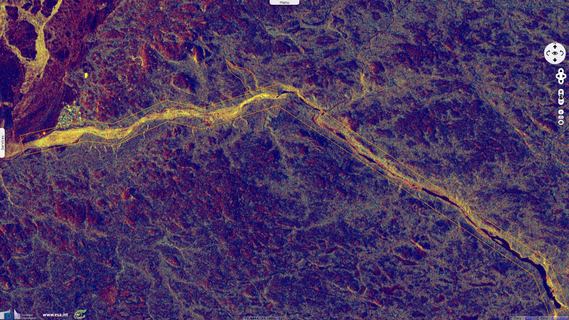
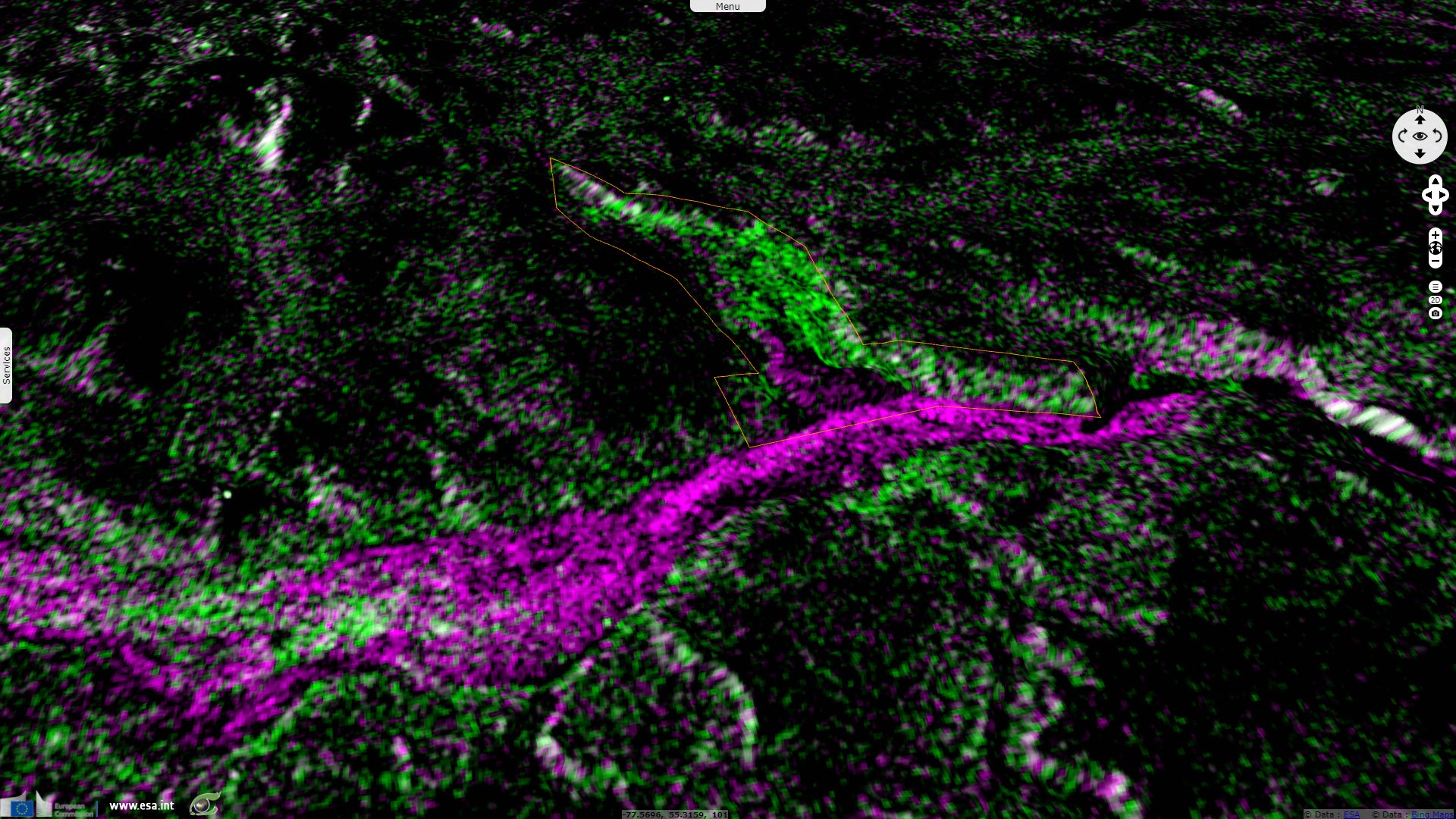
Sentinel-1 CSAR IW acquired on 21 April 2021 at 22:55:01 UTC
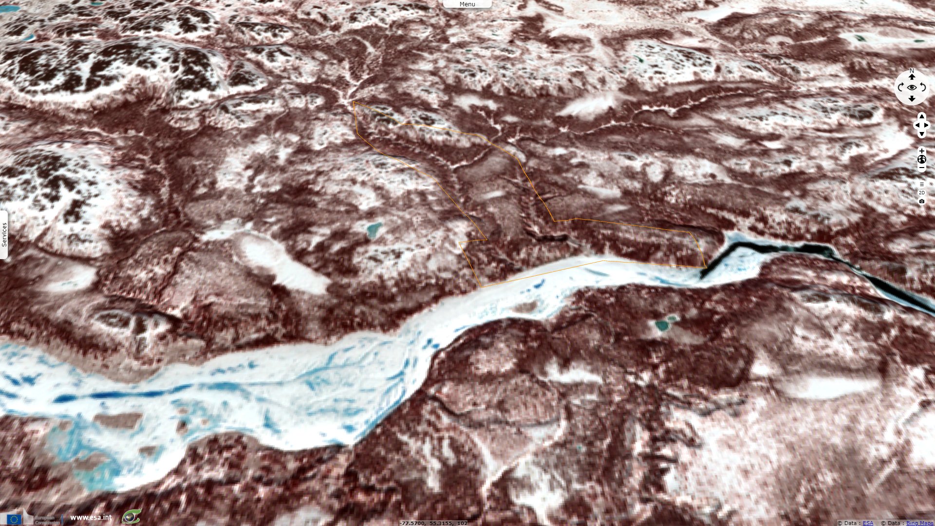
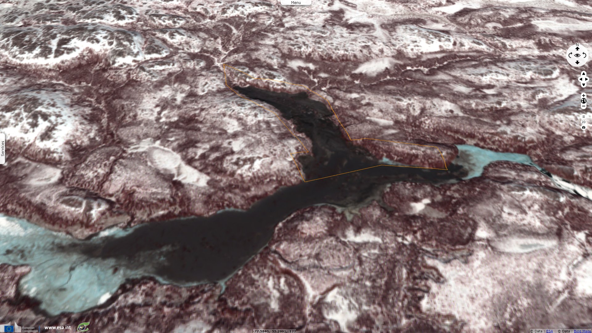
Sentinel-2 MSI acquired on 22 April 2021 at 16:28:29 UTC
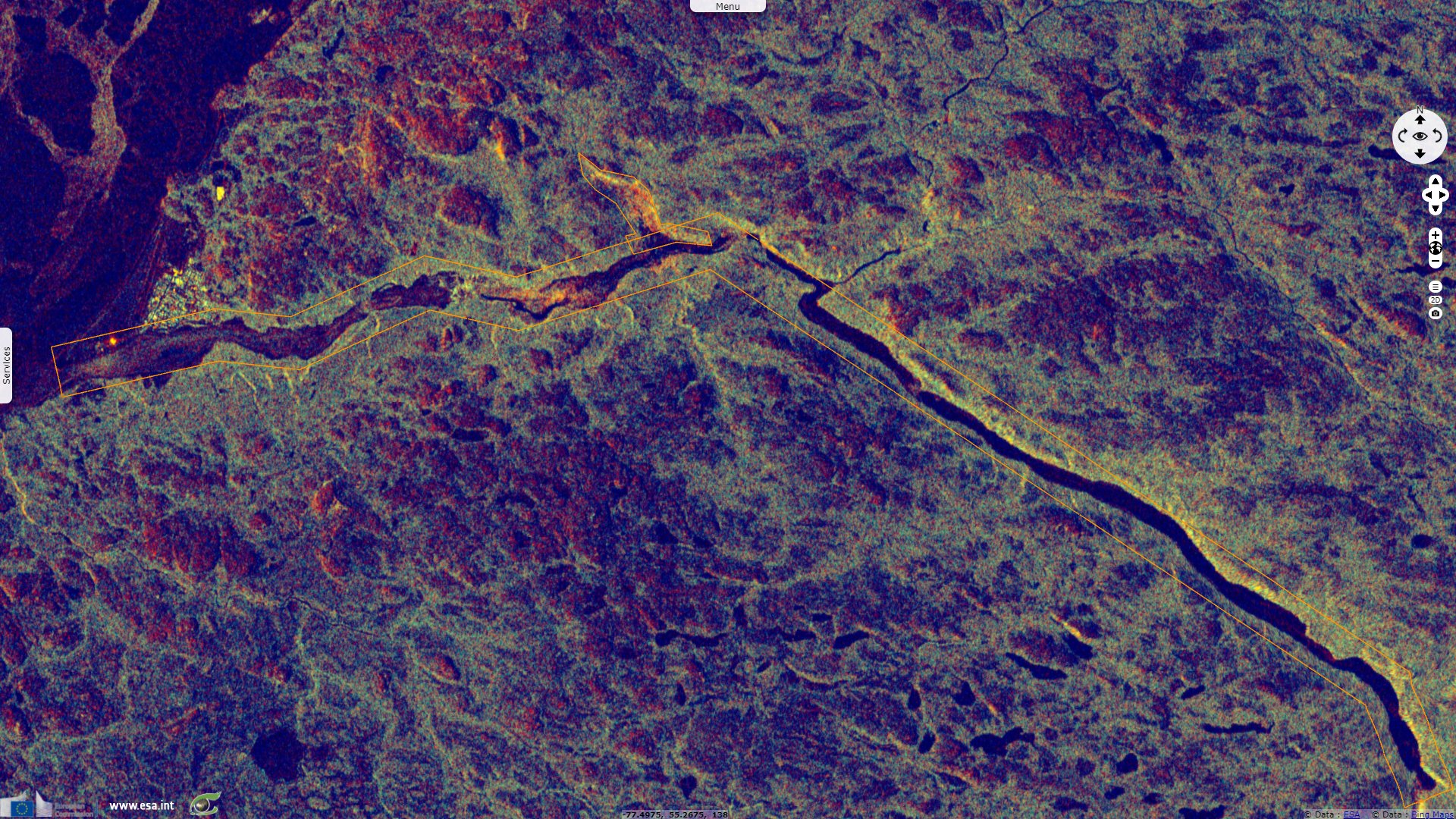
Sentinel-1 CSAR IW acquired on 03 May 2021 at 22:55:01 UTC
Sentinel-1 CSAR IW acquired on 21 April 2021 at 22:55:01 UTC
Sentinel-2 MSI acquired on 22 April 2021 at 16:28:29 UTC
Sentinel-1 CSAR IW acquired on 03 May 2021 at 22:55:01 UTC
Keyword(s): Geohazard, landslide, river, hydrology, polar, ice, cryosphere, Quebec, Canada, Hudson Bay
The views expressed herein can in no way be taken to reflect the official opinion of the European Space Agency or the European Union.
Contains modified Copernicus Sentinel data 2026, processed by VisioTerra.
Contains modified Copernicus Sentinel data 2026, processed by VisioTerra.
| More on European Commission space: |  |
 |
 |
||||
| More on ESA: | |
|
|
S-1 website | S-2 website | S-3 website | |
| More on Copernicus program: | |
|
|
Scihub portal | Cophub portal | Inthub portal | Colhub portal |
| More on VisioTerra: | |
|
|
Sentinel Vision Portal | Envisat+ERS portal | Swarm+GOCE portal | CryoSat portal |