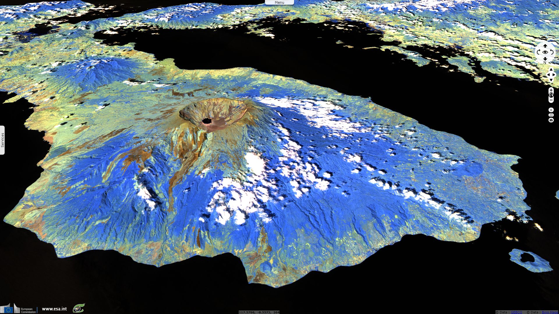
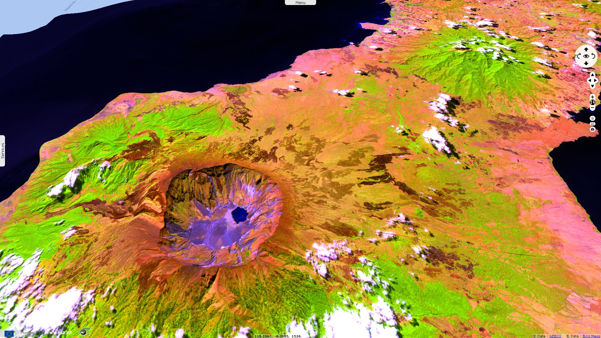
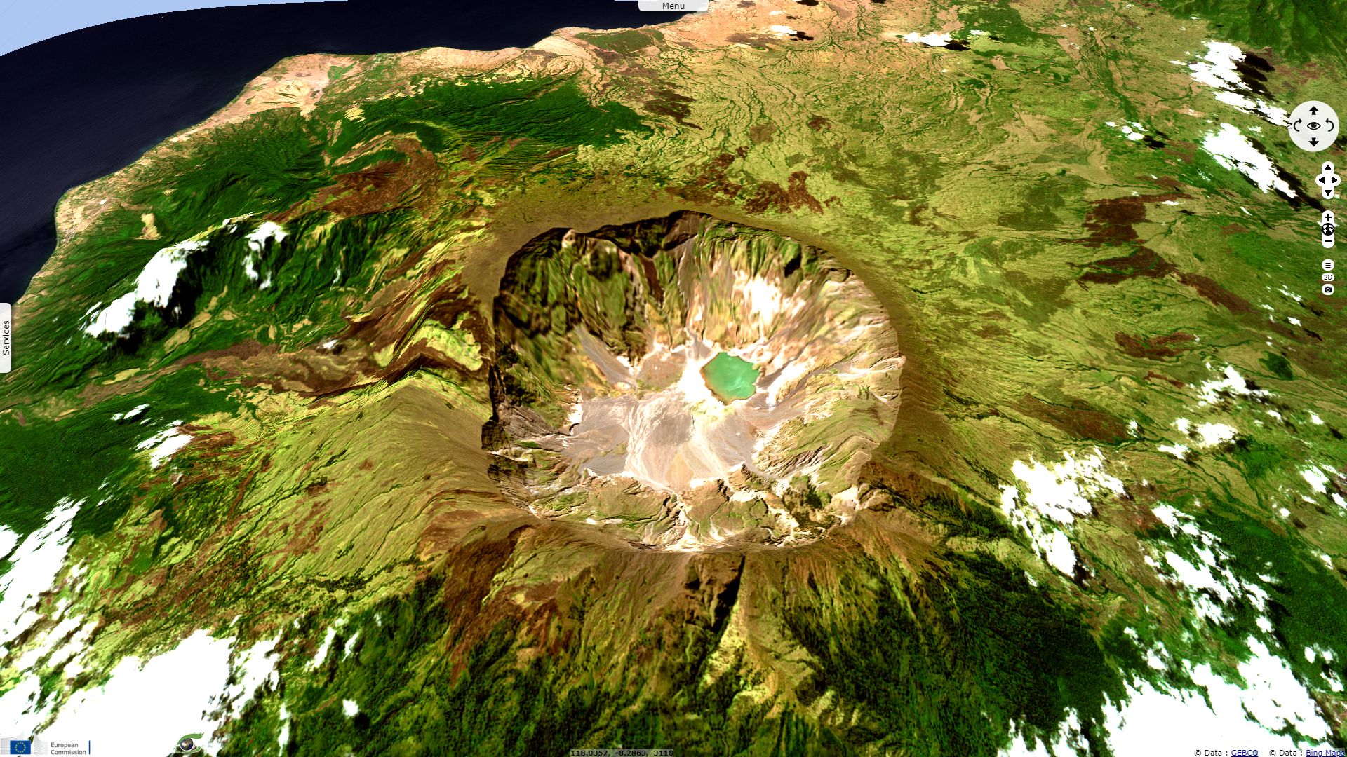
Majestic Mount Tambora
Sentinel-2 MSI acquired on 23 August 2017 at 02:23:19 UTC
Sentinel-1 CSAR IW acquired on 08 April 2018 at 21:44:45 UTC
Sentinel-1 CSAR IW acquired on 08 April 2018 at 21:44:45 UTC
Keyword(s): Geohazard, climate change, explosive volcano, island, eruption, caldera, crater, subduction, Pacific Ring of fire, Indonesia
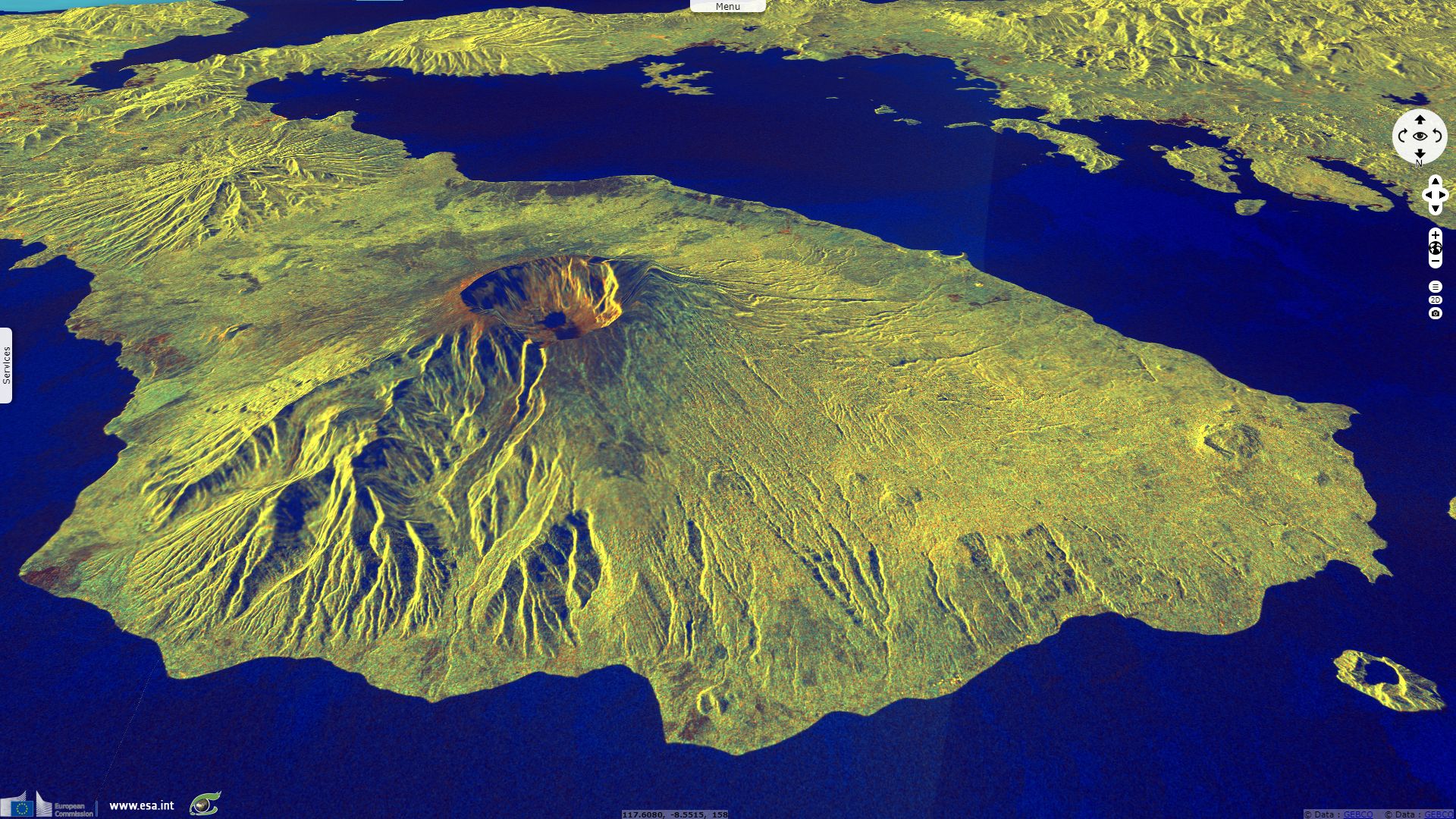
Tambora eruption in 1815 was heard 2600km away, it caused a worldwide "year without summer".
The views expressed herein can in no way be taken to reflect the official opinion of the European Space Agency or the European Union.
Contains modified Copernicus Sentinel data 2026, processed by VisioTerra.
Contains modified Copernicus Sentinel data 2026, processed by VisioTerra.
| More on European Commission space: |  |
 |
 |
||||
| More on ESA: | |
|
|
S-1 website | S-2 website | S-3 website | |
| More on Copernicus program: | |
|
|
Scihub portal | Cophub portal | Inthub portal | Colhub portal |
| More on VisioTerra: | |
|
|
Sentinel Vision Portal | Envisat+ERS portal | Swarm+GOCE portal | CryoSat portal |