Panjshir valley, pathway in the Hindu Kush, Afghanistan
Sentinel-2 MSI acquired on 07 June 2021 at 05:56:41 UTC
...
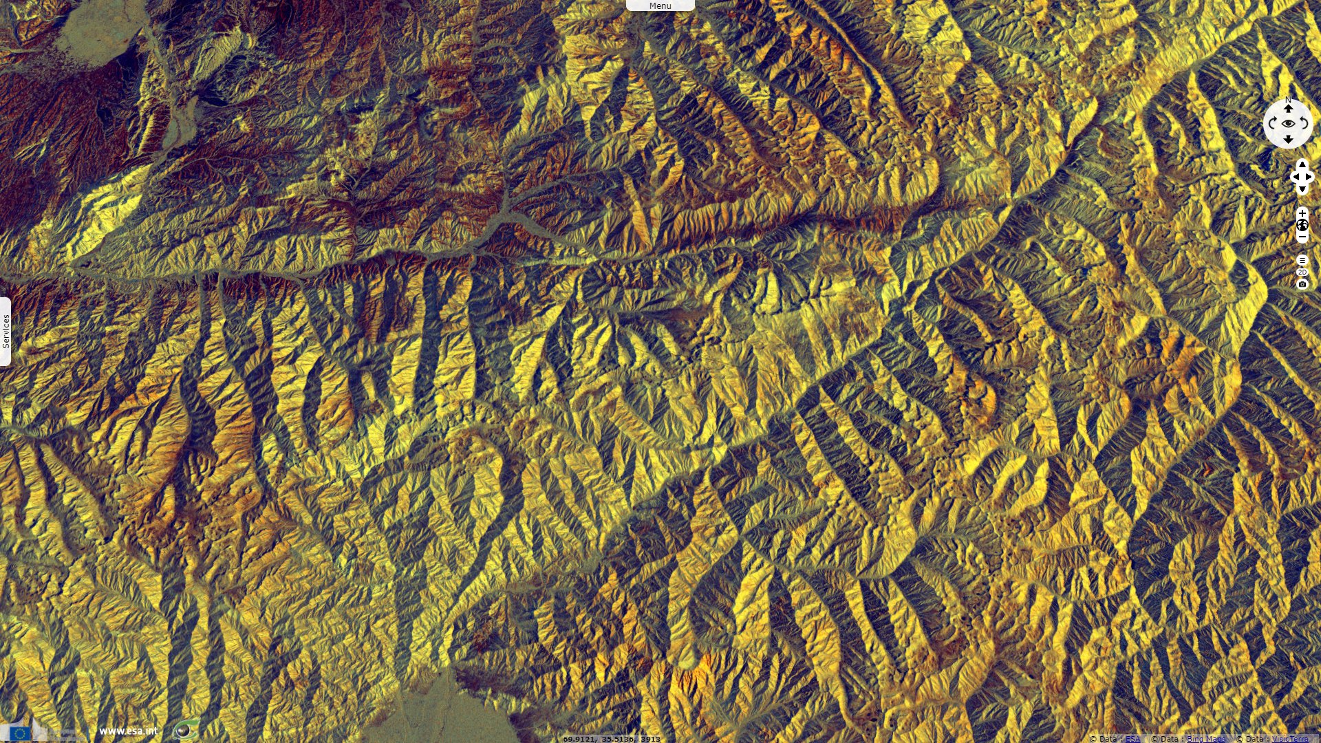
Sentinel-2 MSI acquired on 09 July 2021 at 05:46:39 UTC
Sentinel-1 CSAR IW acquired on 23 August 2021 from 01:23:14 to 01:23:39 UTC
...
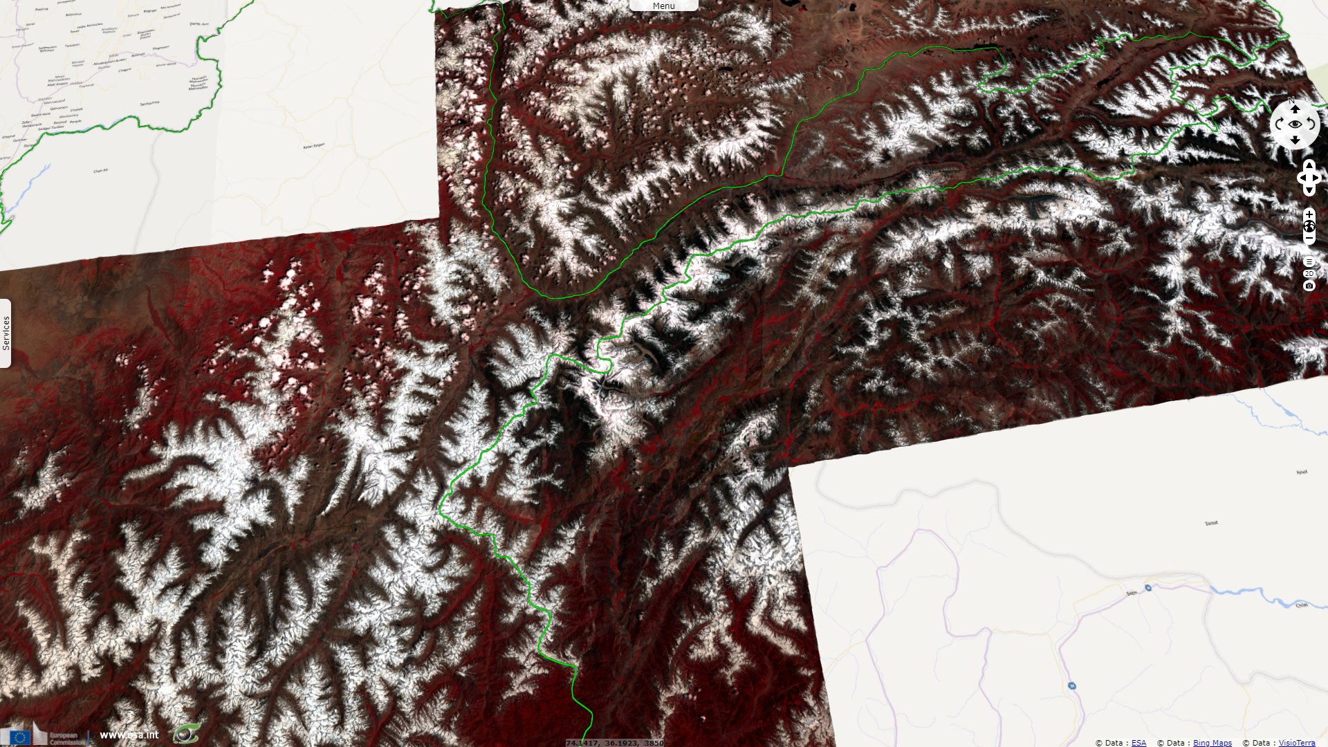
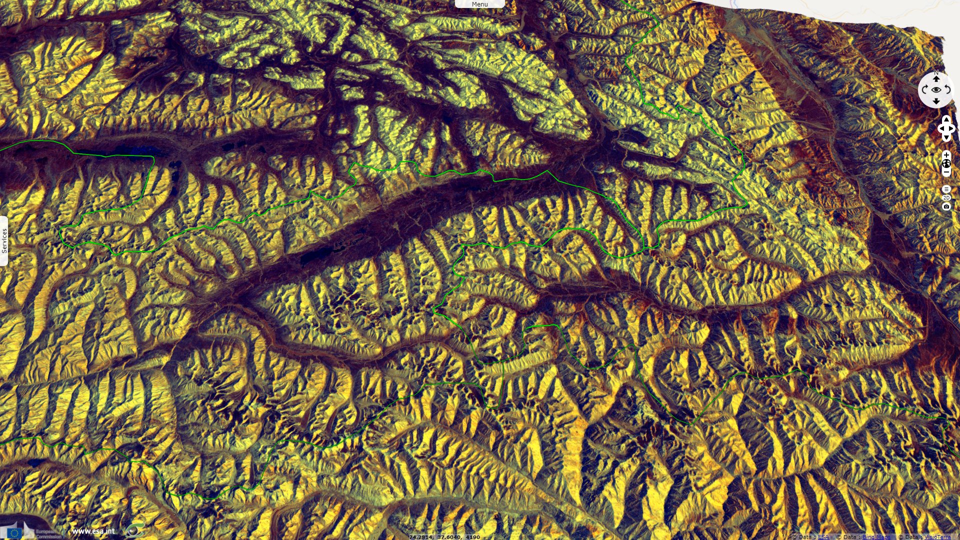
Sentinel-2 MSI acquired on 09 July 2021 at 05:46:39 UTC
Sentinel-1 CSAR IW acquired on 23 August 2021 from 01:23:14 to 01:23:39 UTC
Keyword(s): Mountain, snow, river, Hindi Kush mountains
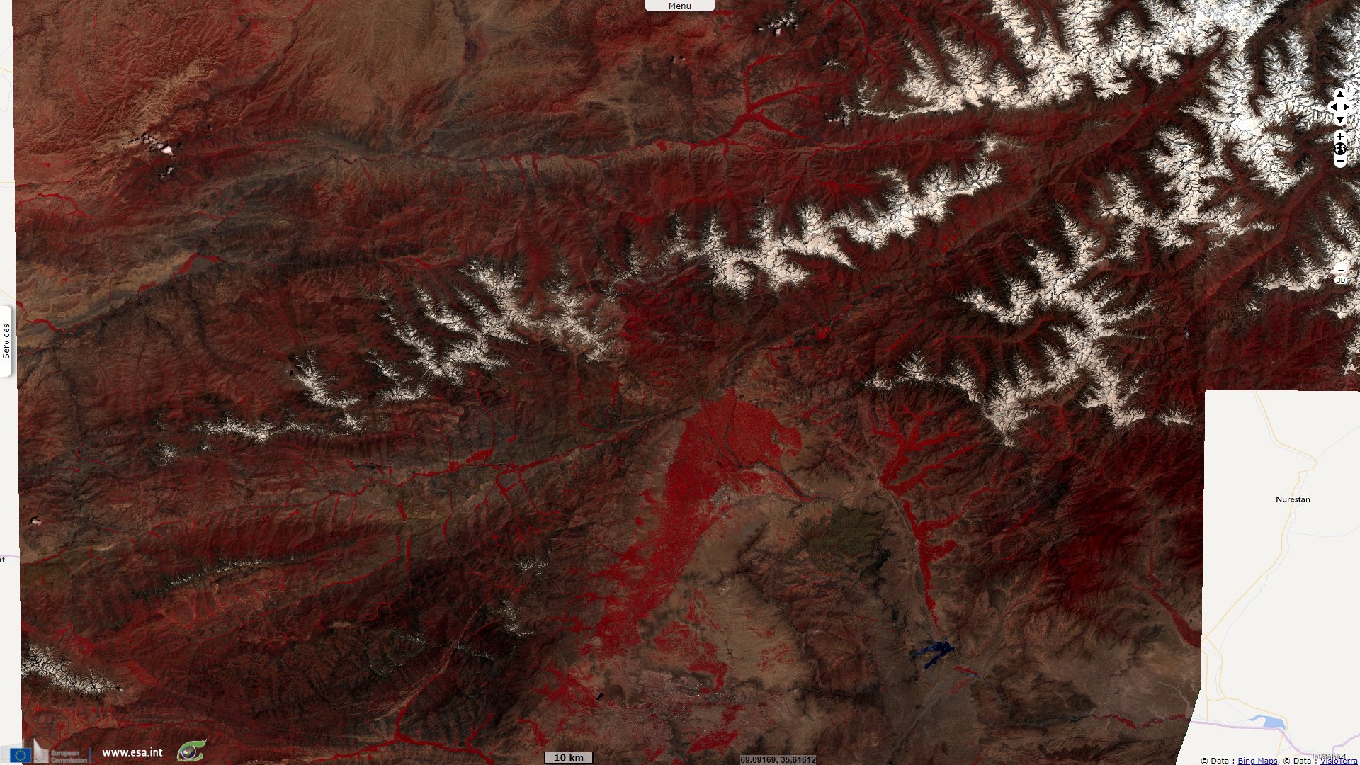
~100km long, this valley leads to Khawak Pass (3,848 m) toward northern plains and to Anjuman Pass (4,430 m) used by Alexander the Great and Timur to travel N-E.
The views expressed herein can in no way be taken to reflect the official opinion of the European Space Agency or the European Union.
Contains modified Copernicus Sentinel data 2026, processed by VisioTerra.
Contains modified Copernicus Sentinel data 2026, processed by VisioTerra.
| More on European Commission space: |  |
 |
 |
||||
| More on ESA: | |
|
|
S-1 website | S-2 website | S-3 website | |
| More on Copernicus program: | |
|
|
Scihub portal | Cophub portal | Inthub portal | Colhub portal |
| More on VisioTerra: | |
|
|
Sentinel Vision Portal | Envisat+ERS portal | Swarm+GOCE portal | CryoSat portal |