Langres karst plateau, hydrologic tripoint & cradle of French rivers
Sentinel-2 MSI acquired on 15 October 2017 at 10:40:09 UTC
Sentinel-1 CSAR IW acquired on 23 December 2017 at 17:31:47 UTC
Sentinel-1 CSAR IW acquired on 26 January 2018 at 05:50:27 UTC
Sentinel-1 CSAR IW acquired on 23 December 2017 at 17:31:47 UTC
Sentinel-1 CSAR IW acquired on 26 January 2018 at 05:50:27 UTC
Keyword(s): River, hydrology, geology, basin, mountain range, transport, watershed, France
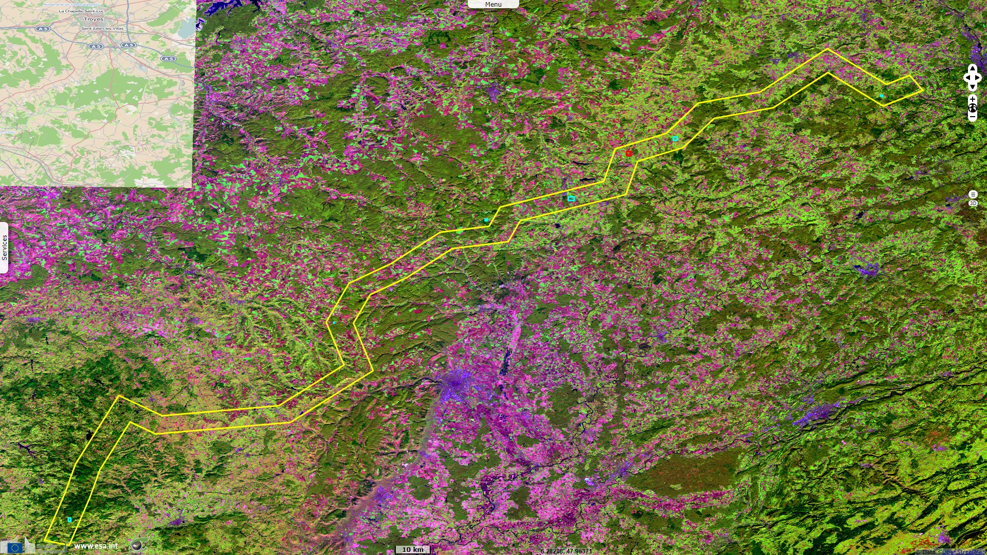
Centred on Langres plateau, this small moderately-high south-west north-east scarp from the north of Morvan to the south of Vosges is the cradle of several major French rivers flowing to 3 different seas.
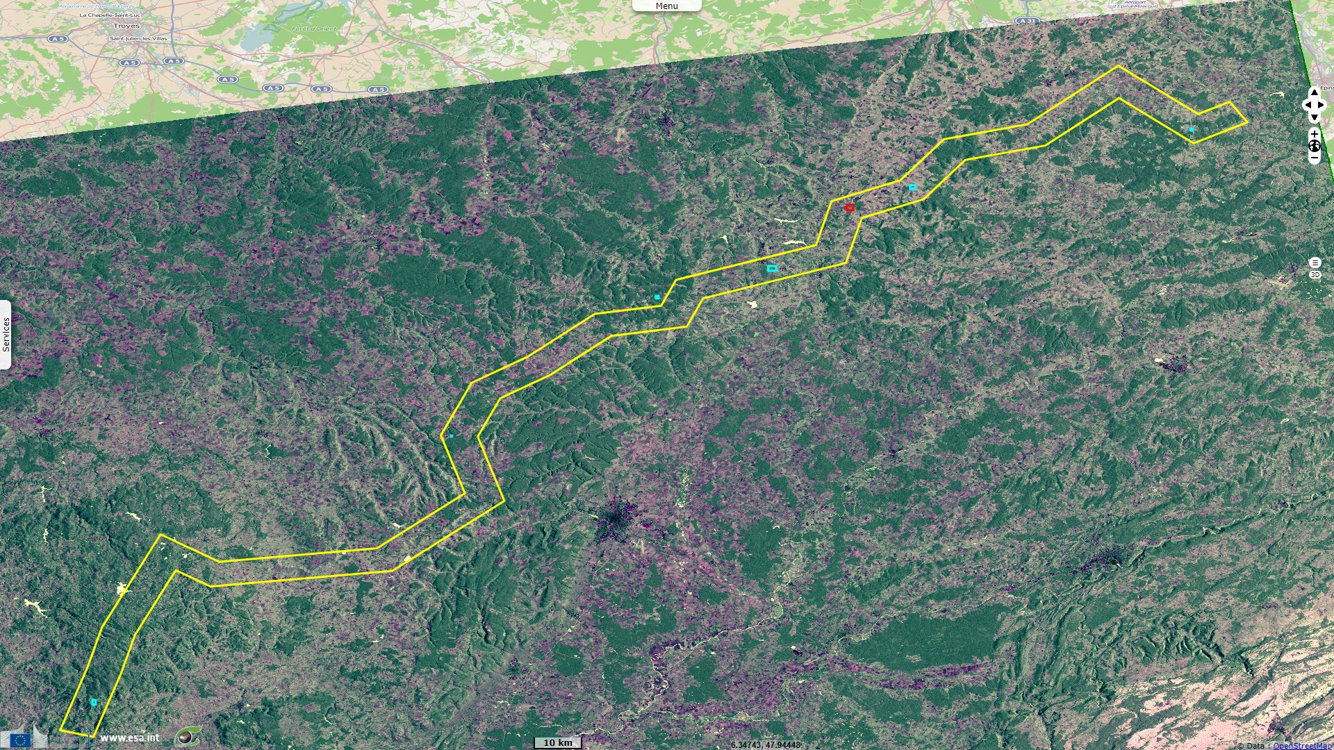
River Seine and its bigger tributaries, Yonne and Aube are born in its south-west part, river Saône at its north-east stretches.
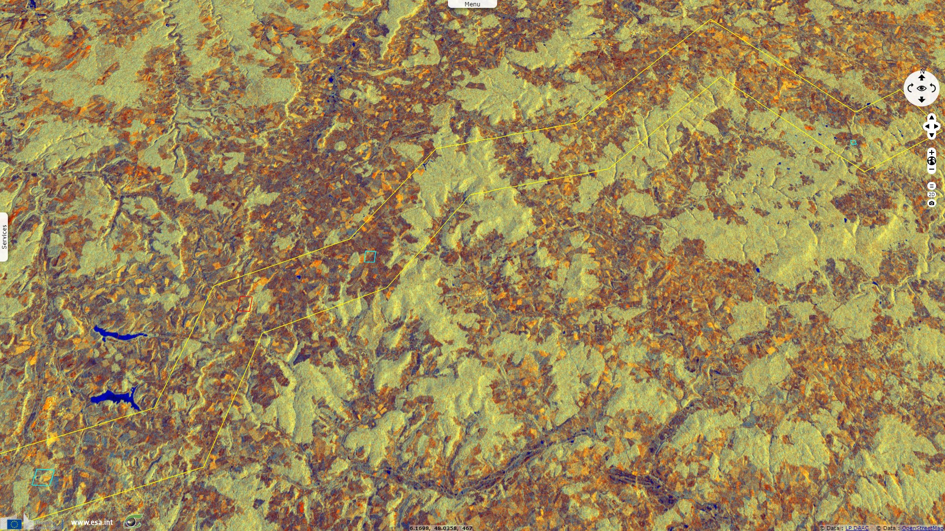
The source of Aube, Marne, Meuse rivers as well as the watershed tripoint between Mediterranean, Channel & North Seas lie on a 50 km line.
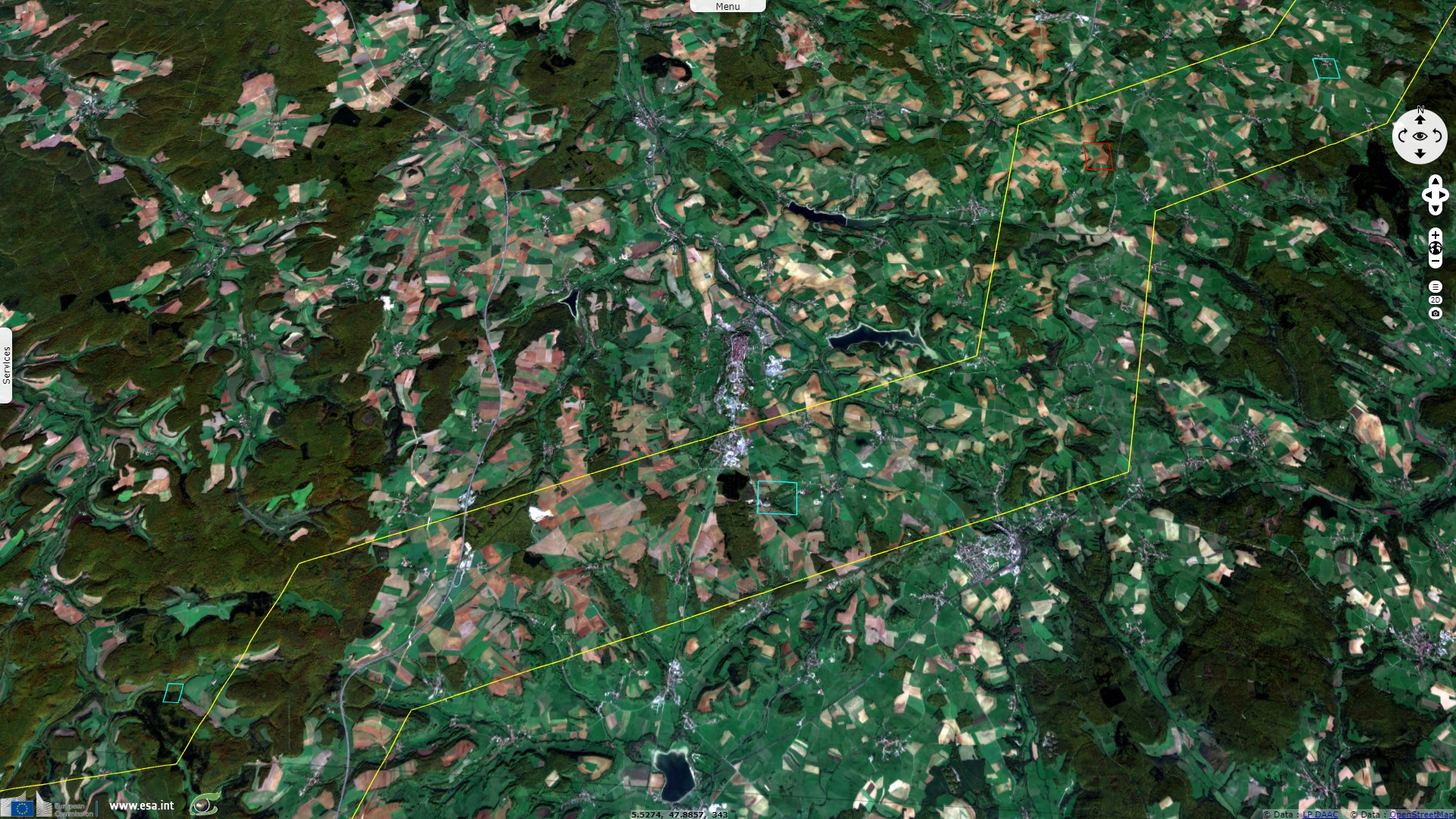
At west is the Paris Basin in which flows river Seine, at north is the Meuse basin, at South-East is the Saône basin which is encompassed in the Rhône basin.
The views expressed herein can in no way be taken to reflect the official opinion of the European Space Agency or the European Union.
Contains modified Copernicus Sentinel data 2026, processed by VisioTerra.
Contains modified Copernicus Sentinel data 2026, processed by VisioTerra.
| More on European Commission space: |  |
 |
 |
||||
| More on ESA: | |
|
|
S-1 website | S-2 website | S-3 website | |
| More on Copernicus program: | |
|
|
Scihub portal | Cophub portal | Inthub portal | Colhub portal |
| More on VisioTerra: | |
|
|
Sentinel Vision Portal | Envisat+ERS portal | Swarm+GOCE portal | CryoSat portal |