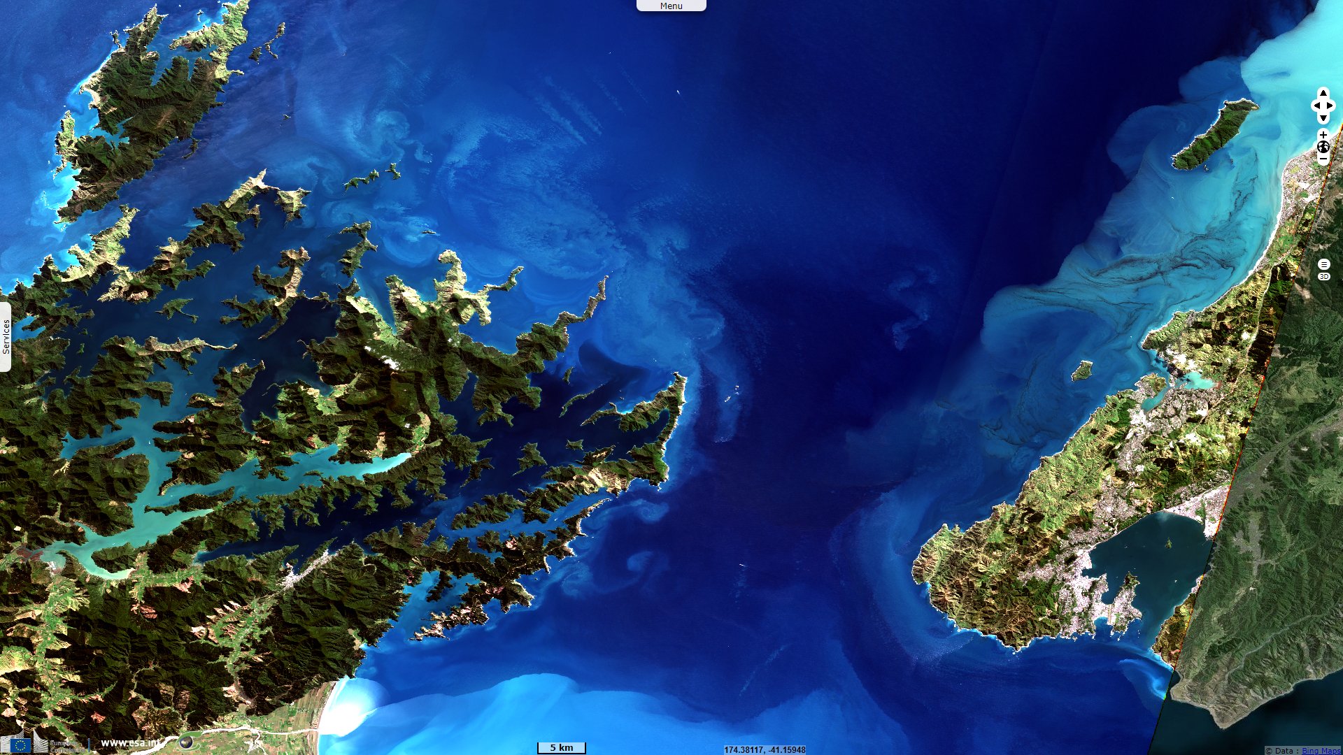
Narrow Cook Strait, between both large islands of New Zealand
Sentinel-2 MSI acquired on 10 September 2021 at 22:25:41 UTC
Sentinel-1 CSAR IW acquired on 13 May 2022 from 17:30:41 to 17:31:06 UTC
...
Sentinel-1 CSAR IW acquired on 06 June 2022 from 17:30:43 to 17:31:08 UTC
Sentinel-1 CSAR IW acquired on 13 May 2022 from 17:30:41 to 17:31:06 UTC
...
Sentinel-1 CSAR IW acquired on 06 June 2022 from 17:30:43 to 17:31:08 UTC
Keyword(s): Island, hydrology, marine traffic, security, tide, green energy, New Zealand
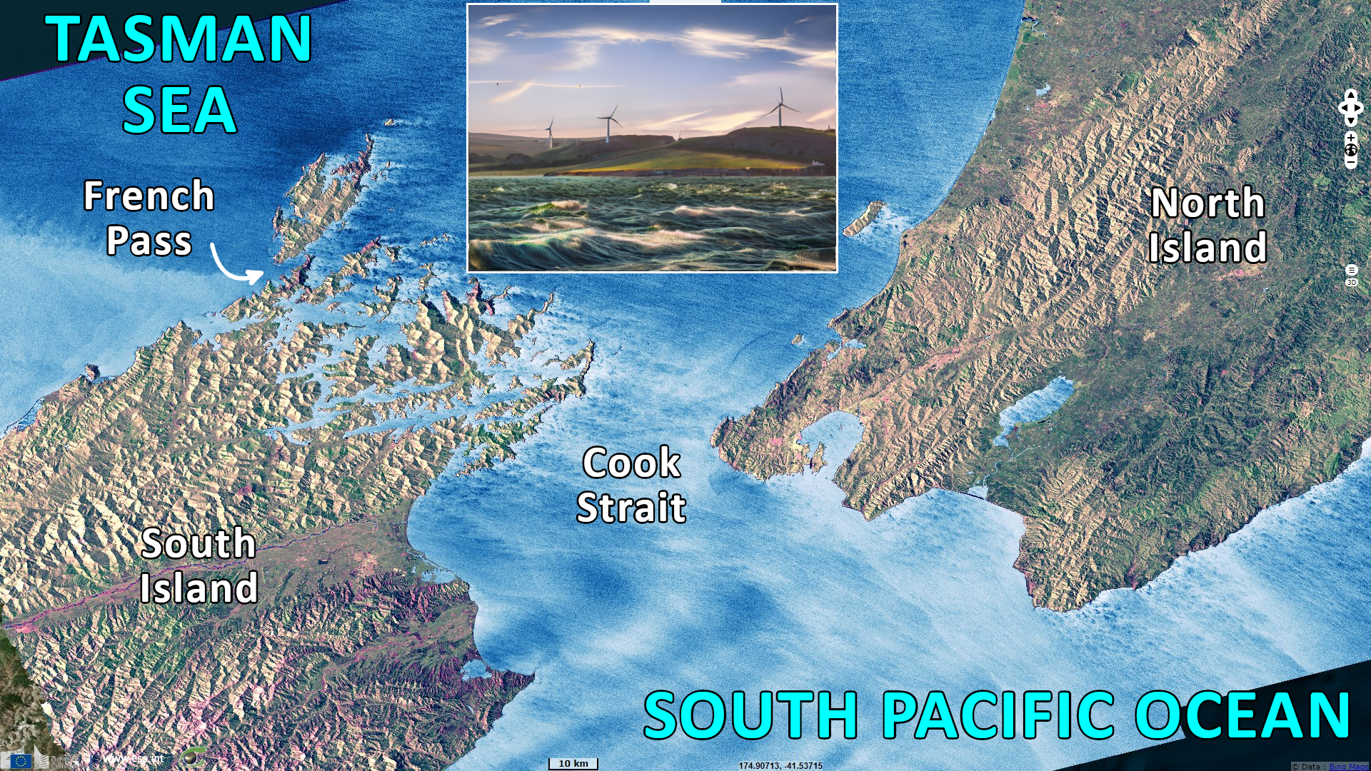
22 km wide at its narrowest point, Cook Strait is considered one of the most dangerous and unpredictable waters in the world. Its tidal elevation at the ends of the strait are almost exactly out of phase with one another, so on one side is high tide and on the other is low tide.
The views expressed herein can in no way be taken to reflect the official opinion of the European Space Agency or the European Union.
Contains modified Copernicus Sentinel data 2026, processed by VisioTerra.
Contains modified Copernicus Sentinel data 2026, processed by VisioTerra.
| More on European Commission space: |  |
 |
 |
||||
| More on ESA: | |
|
|
S-1 website | S-2 website | S-3 website | |
| More on Copernicus program: | |
|
|
Scihub portal | Cophub portal | Inthub portal | Colhub portal |
| More on VisioTerra: | |
|
|
Sentinel Vision Portal | Envisat+ERS portal | Swarm+GOCE portal | CryoSat portal |