Karakoram range, home of the K2 summit, Pakistan
Sentinel-2 MSI acquired on 27 July 2017 at 05:36:39 UTC
Sentinel-2 MSI acquired on 06 August 2018 at 05:36:41 UTC
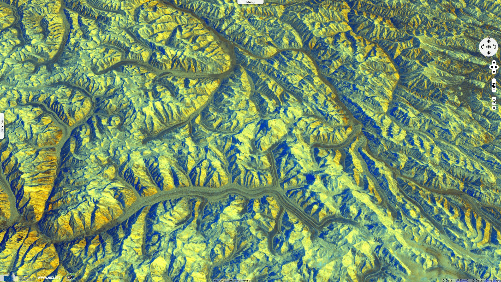
Sentinel-1 CSAR IW acquired on 24 September 2019 at 00:58:27 UTC
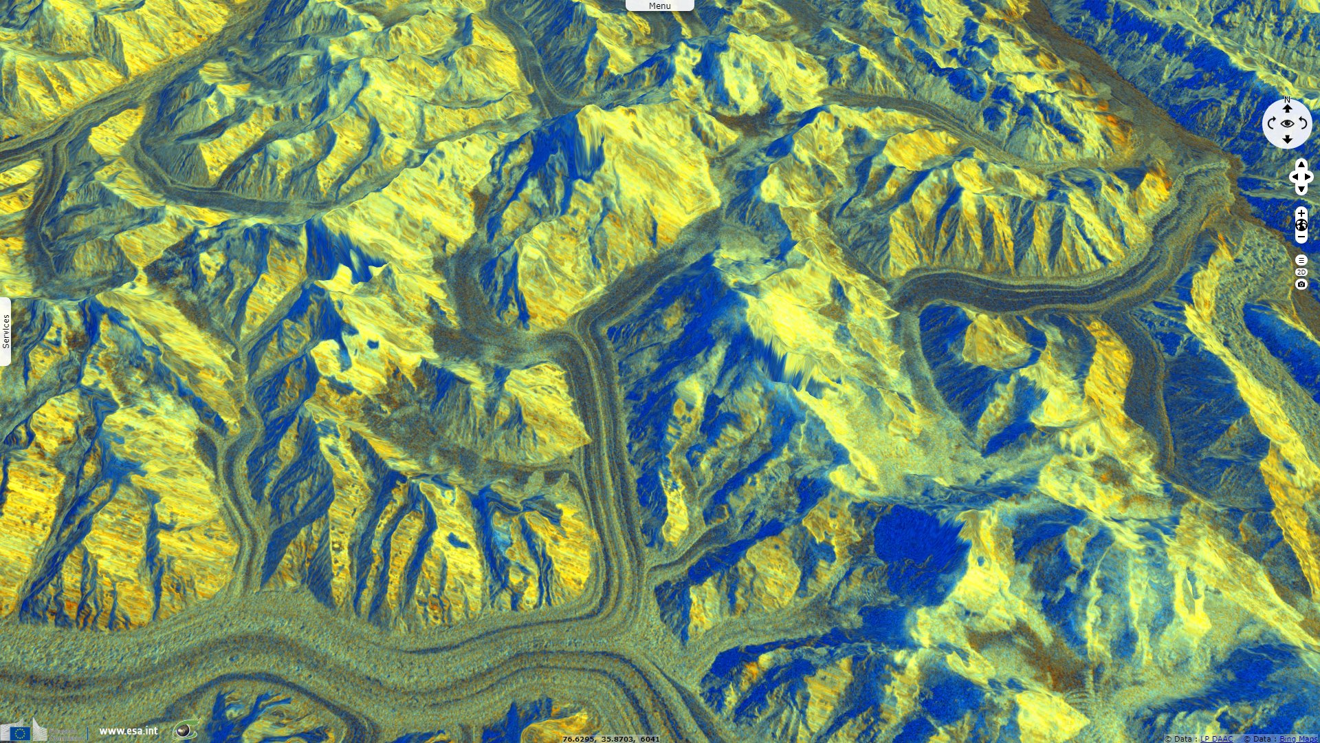
Sentinel-1 CSAR IW acquired on 10 March 2020 at 00:58:24 UTC
Sentinel-2 MSI acquired on 06 August 2018 at 05:36:41 UTC
Sentinel-1 CSAR IW acquired on 24 September 2019 at 00:58:27 UTC
Sentinel-1 CSAR IW acquired on 10 March 2020 at 00:58:24 UTC
Keyword(s): Mountain range, glacier, ice, snow, cryosphere, Pakistan, Tibet plateau
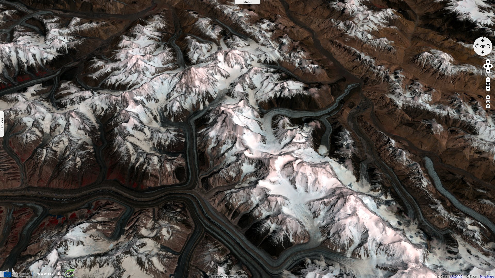
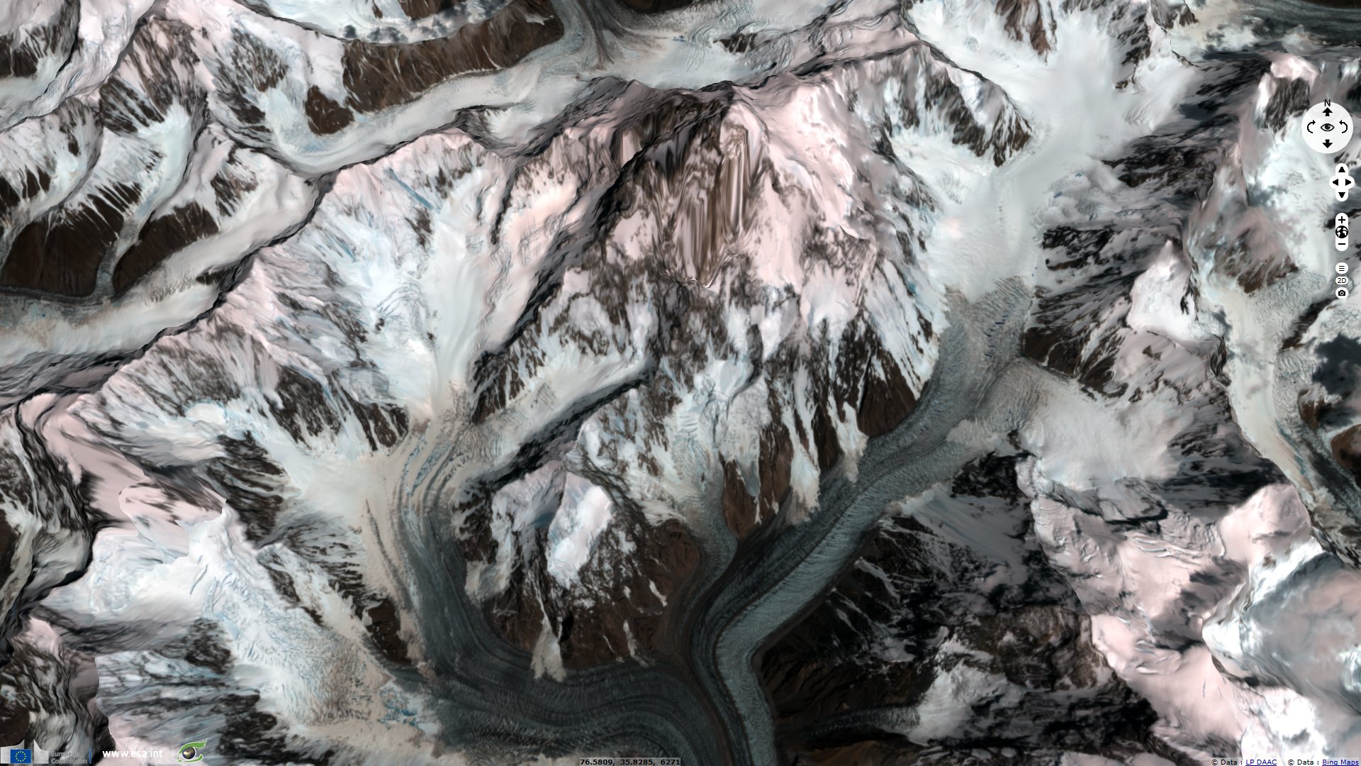
Zoom on the Baltoro Muztagh mounts which include the K2 and 3 other Eight-thousander peaks, stretching the the center to the lower-right corner.
The views expressed herein can in no way be taken to reflect the official opinion of the European Space Agency or the European Union.
Contains modified Copernicus Sentinel data 2026, processed by VisioTerra.
Contains modified Copernicus Sentinel data 2026, processed by VisioTerra.
| More on European Commission space: |  |
 |
 |
||||
| More on ESA: | |
|
|
S-1 website | S-2 website | S-3 website | |
| More on Copernicus program: | |
|
|
Scihub portal | Cophub portal | Inthub portal | Colhub portal |
| More on VisioTerra: | |
|
|
Sentinel Vision Portal | Envisat+ERS portal | Swarm+GOCE portal | CryoSat portal |