Egyptian stream of life
Sentinel-2 MSI acquired on 01 April 2017 at 08:20:01 UTC
...
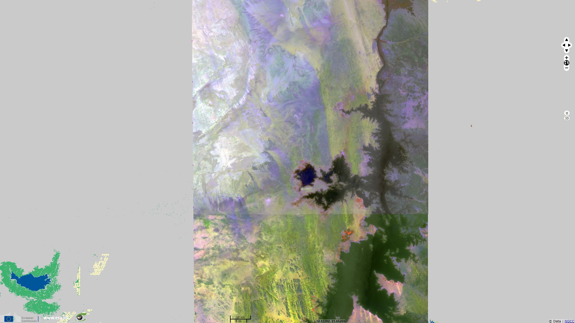
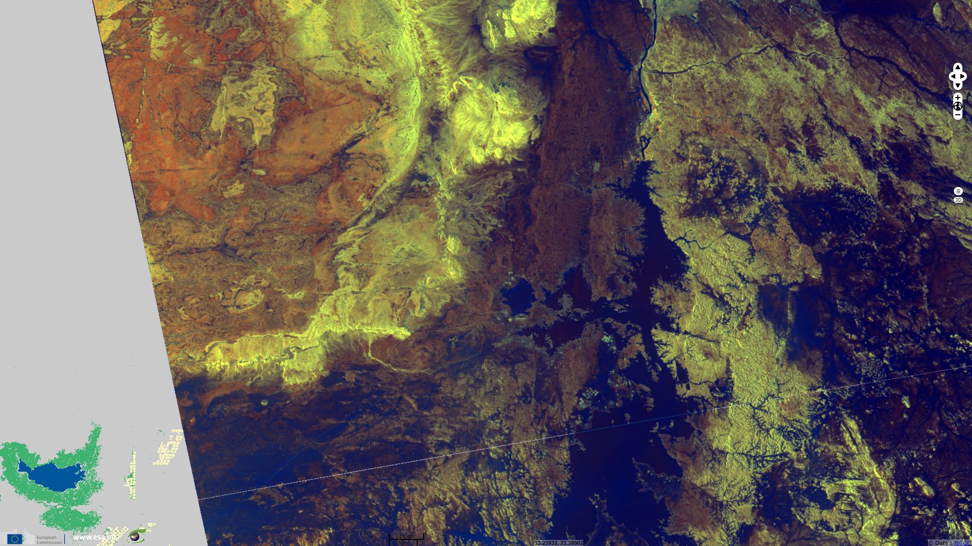
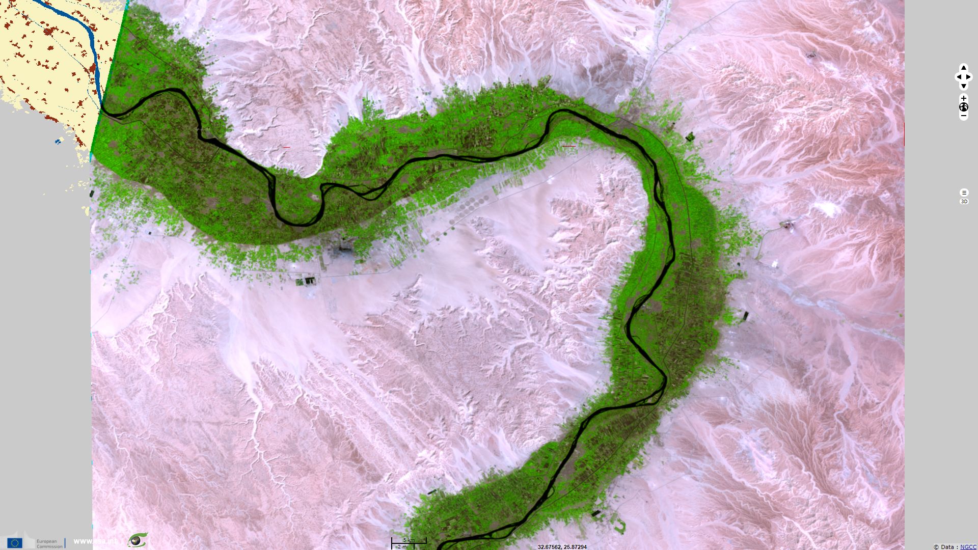
Sentinel-1 CSAR IW acquired on 14 April 2017 from 15:53:29 to 15:56:03 UTC
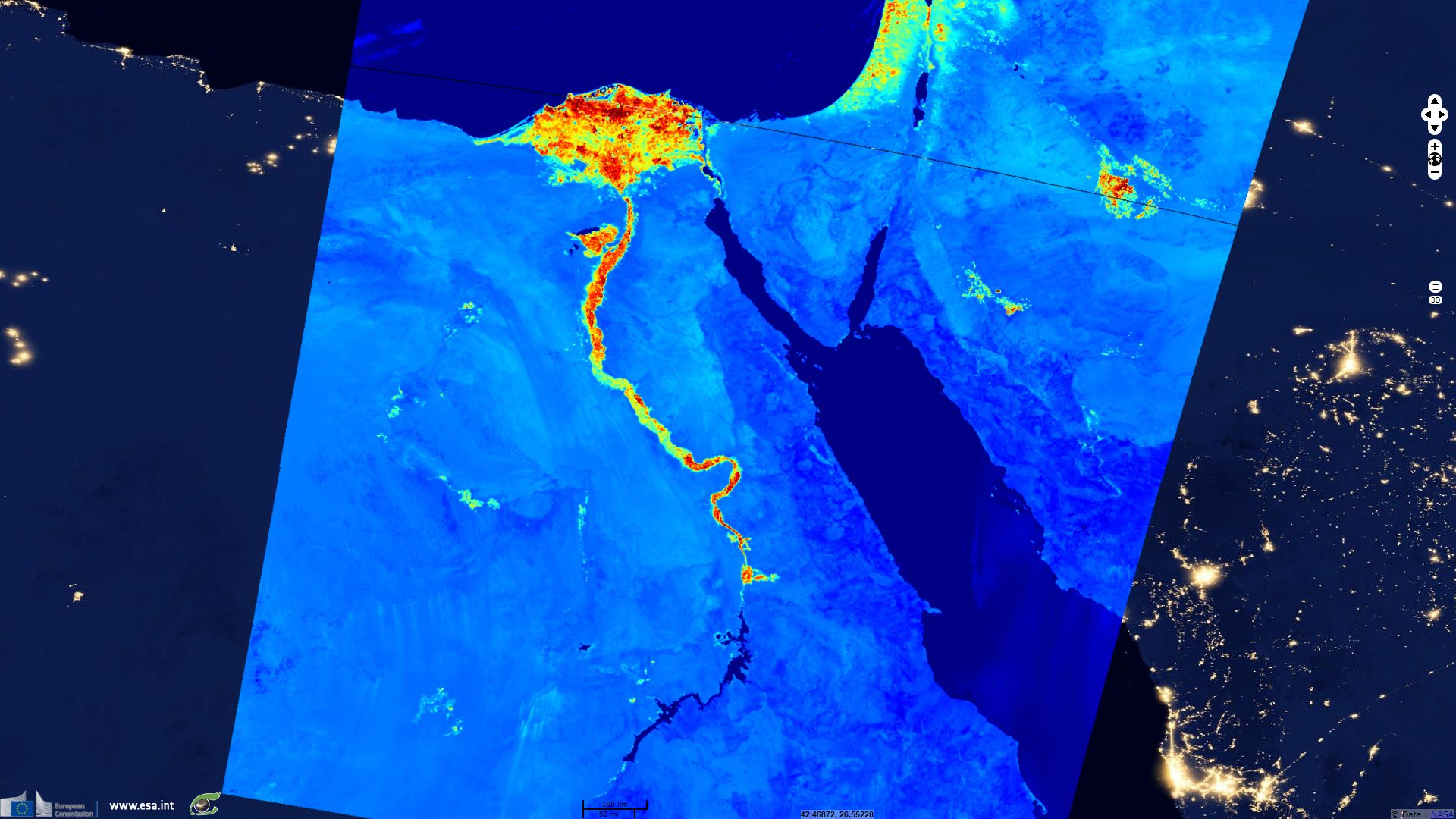
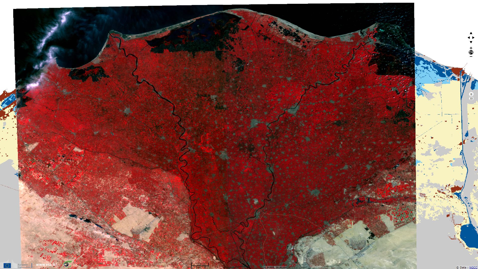
Sentinel-3 OLCI FR acquired on 17 June 2017 from 07:50:00 to 07:53:00 UTC
...
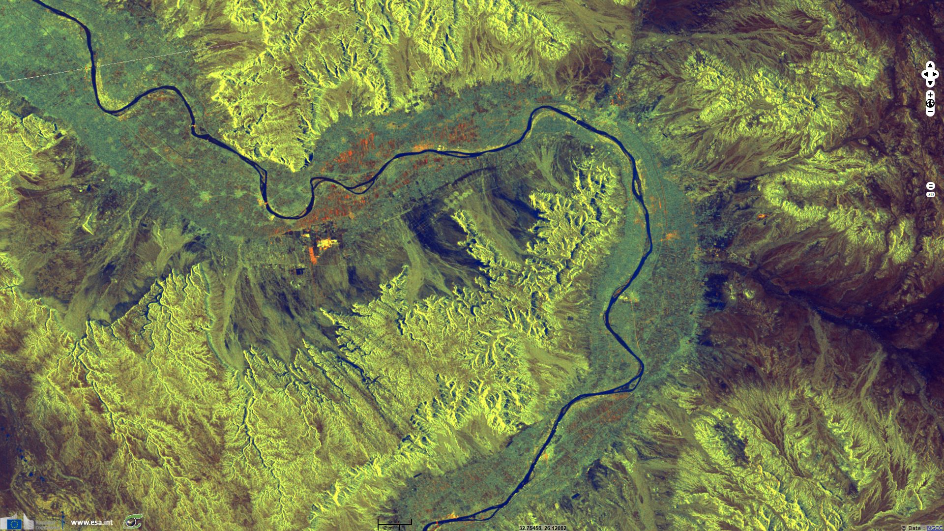
Sentinel-1 CSAR IW acquired on 14 April 2017 from 15:53:29 to 15:56:03 UTC
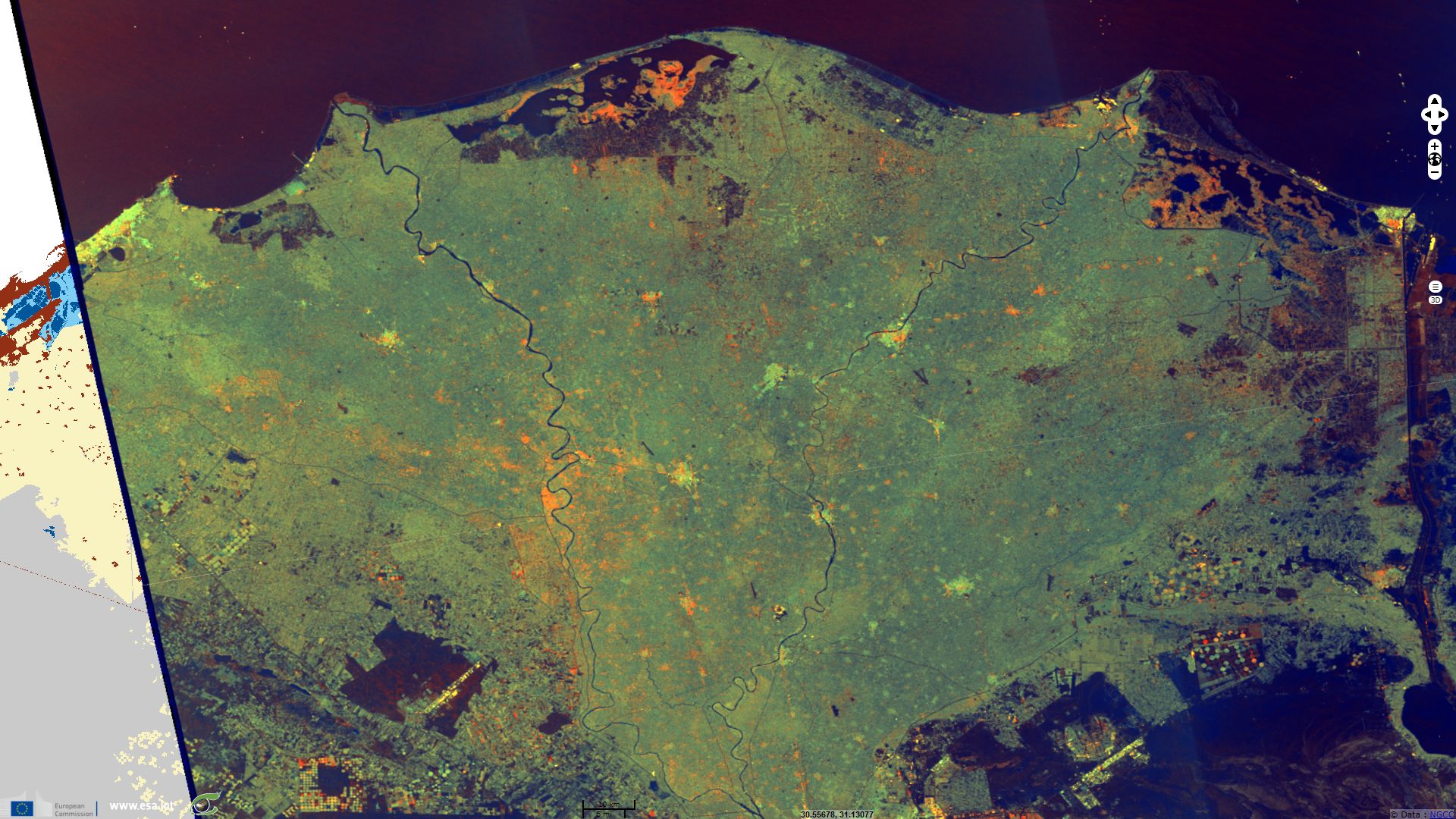
Sentinel-3 OLCI FR acquired on 17 June 2017 from 07:50:00 to 07:53:00 UTC
Keyword(s): land, climate change, hydrology, agriculture, dam, renewable energy, flooding, erosion, sediments, delta, demography, food security, Nile river, Sahara desert, Egypt
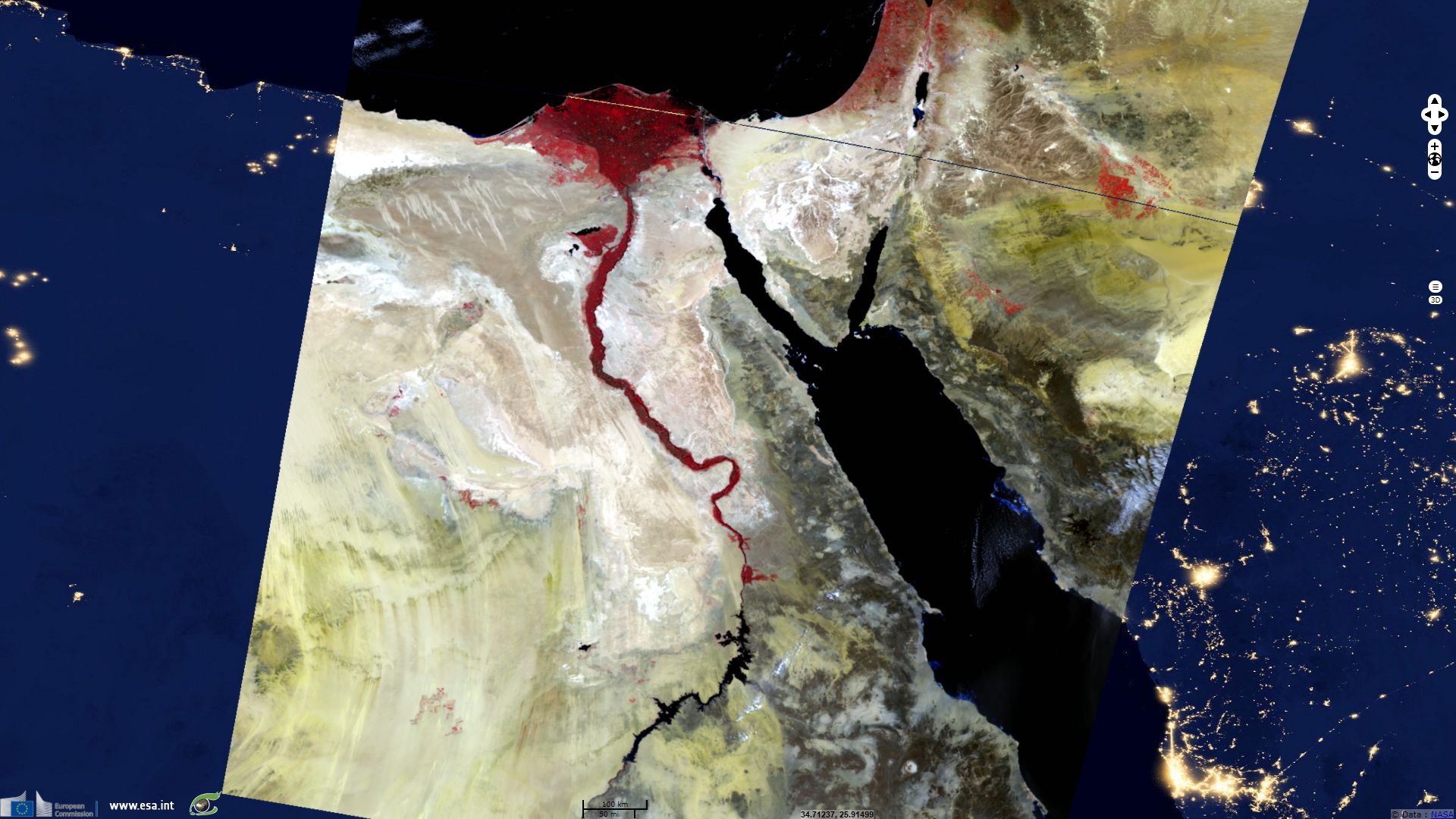
Nile river was a key element in the founding of Egyptian civilization. Not only did it provide water to men, cattle and crops using then innovative irrigation systems, but its yearly flooding also brought sediments keeping the soil fertile. Finally, it also provided a mean of transportation.
The Egyptian Revolution of 23 July 1952 marked the end of the monarchy and the British occupation of Egypt. Afterwards, authorities decided the construction of Aswan high dam which was completed in 1970 thanks to support of the Soviet Union. The resulting lake was named after Gamal Abdel Nasser, the revolution leader then president of Egypt.
This dam provides hydroelectricity, prevents droughts and flooding, secures navigation and provides over-year water storage for irrigation. It benefited to Egypt agriculture, industry and service. There were however several drawbacks, such as the accumulation of sediments in the Nasser lake and the erosion of Nile banks and delta coastline, "at a rate of 125-175 m/year" for the latter according to (Rozengurt and Haydock, 1993). Moreover, these sediments do not depose on the croplands which used to maintain their fertility. The absence of flooding also causes an accumulation of fertilizers that provokes algae infestation.
While Egypt covers over one million square kilometers, 99% of its population live within 10 kilometers of Nile river, in the narrow strip of its valley or delta where most fertile soil are located. The Nile is the single source of water for most Egyptian population, which almost tripled in 65 years since the construction of the dam, this poses a challenge to Egypt food security as the BLUE PEACE
for the NILE report expects a 29% decrease of the Egyptian water available per capita between 2010 and 2030.
According to the Daily News Egypt, Egyptian agriculture crisis worsens, mainly due to lack of water.
This could worsen since there is the "risk of a decline in Egypt's share of the Nile River due to the construction of the Grand Ethiopian Renaissance Dam."
Finally, the BLUE PEACE
for the NILE report also warns against the potential consequences of climate change: "It is expected that temperature across the Nile Basin will increase by 1.5 – 2.1 per cent by 2050. Almost the entire Nile region may become arid to semi-arid in the next 30-40 years which will significantly reduce agricultural land."
The views expressed herein can in no way be taken to reflect the official opinion of the European Space Agency or the European Union.
Contains modified Copernicus Sentinel data 2026, processed by VisioTerra.
Contains modified Copernicus Sentinel data 2026, processed by VisioTerra.
| More on European Commission space: |  |
 |
 |
||||
| More on ESA: | |
|
|
S-1 website | S-2 website | S-3 website | |
| More on Copernicus program: | |
|
|
Scihub portal | Cophub portal | Inthub portal | Colhub portal |
| More on VisioTerra: | |
|
|
Sentinel Vision Portal | Envisat+ERS portal | Swarm+GOCE portal | CryoSat portal |