Haor wetland ecosystem in north-east Bangladesh
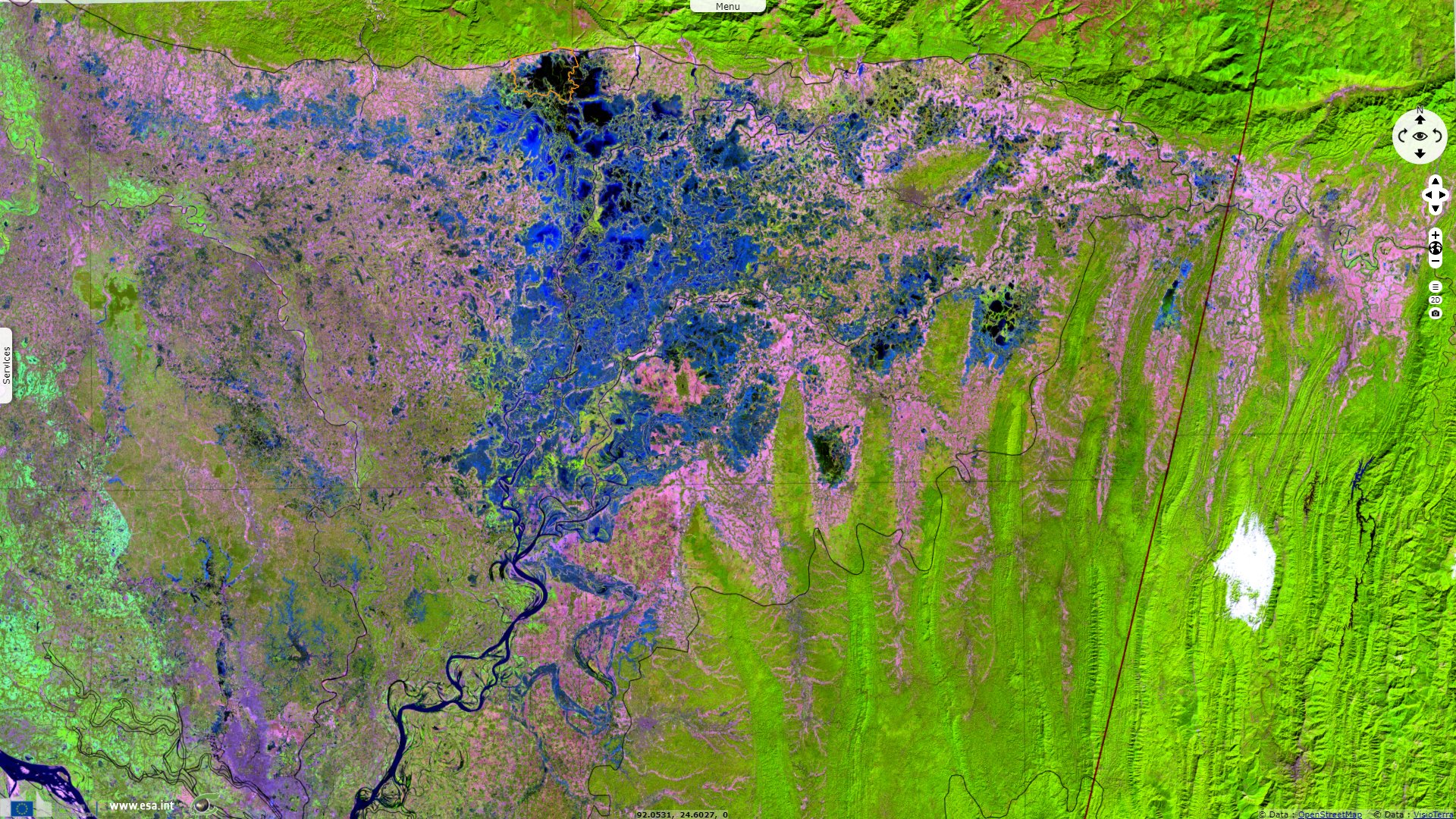
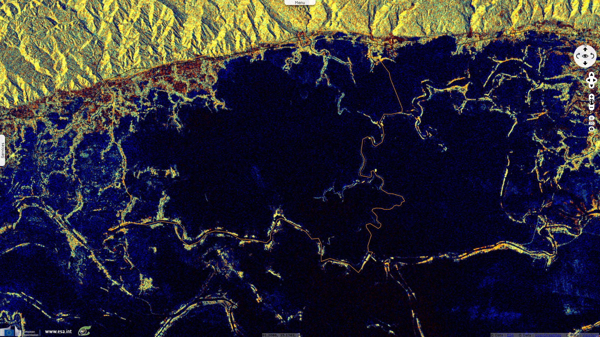
Sentinel-1 CSAR IW acquired on 25 June 2019 from 12:04:18 to 12:05:08 UTC
...
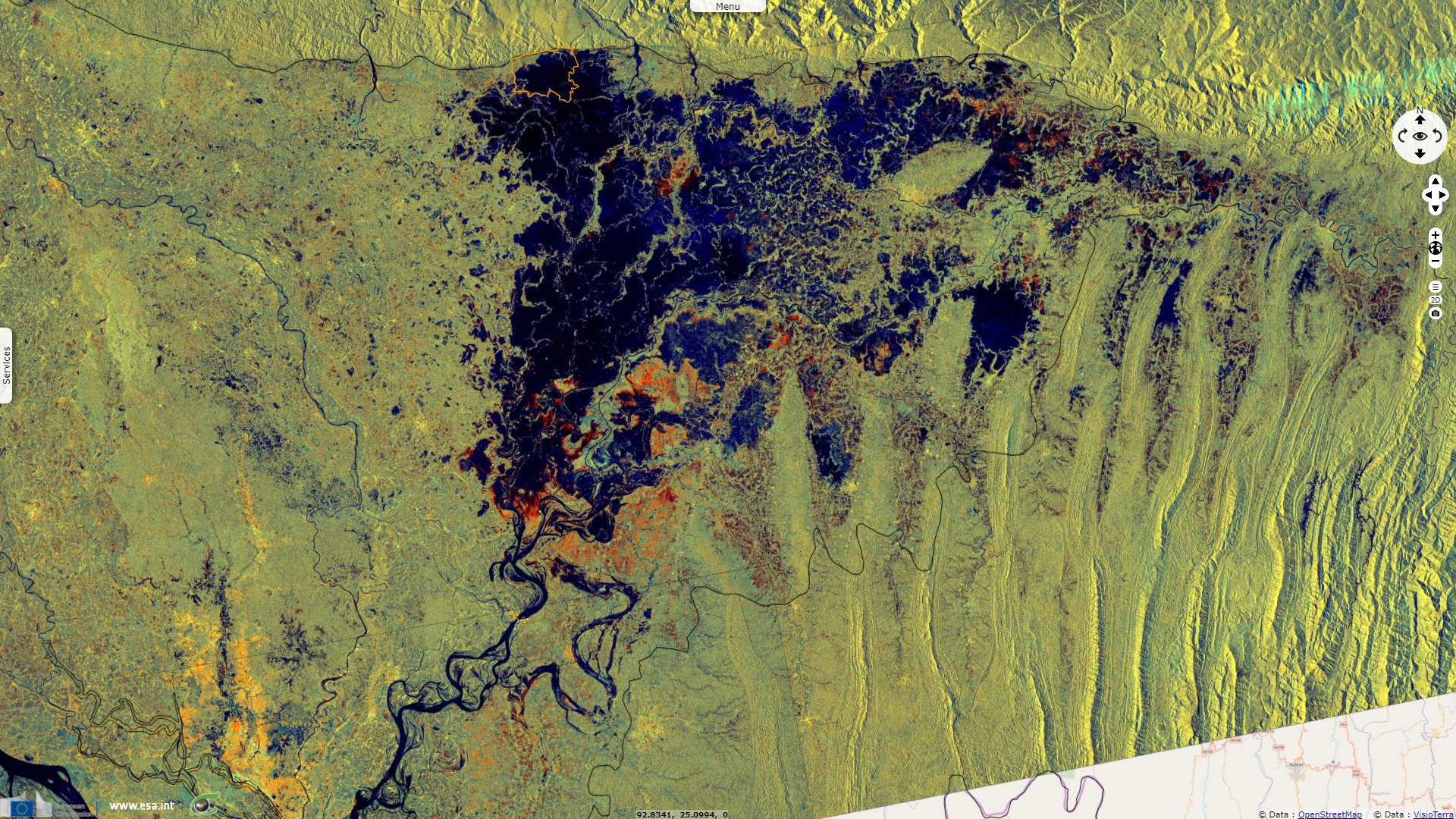
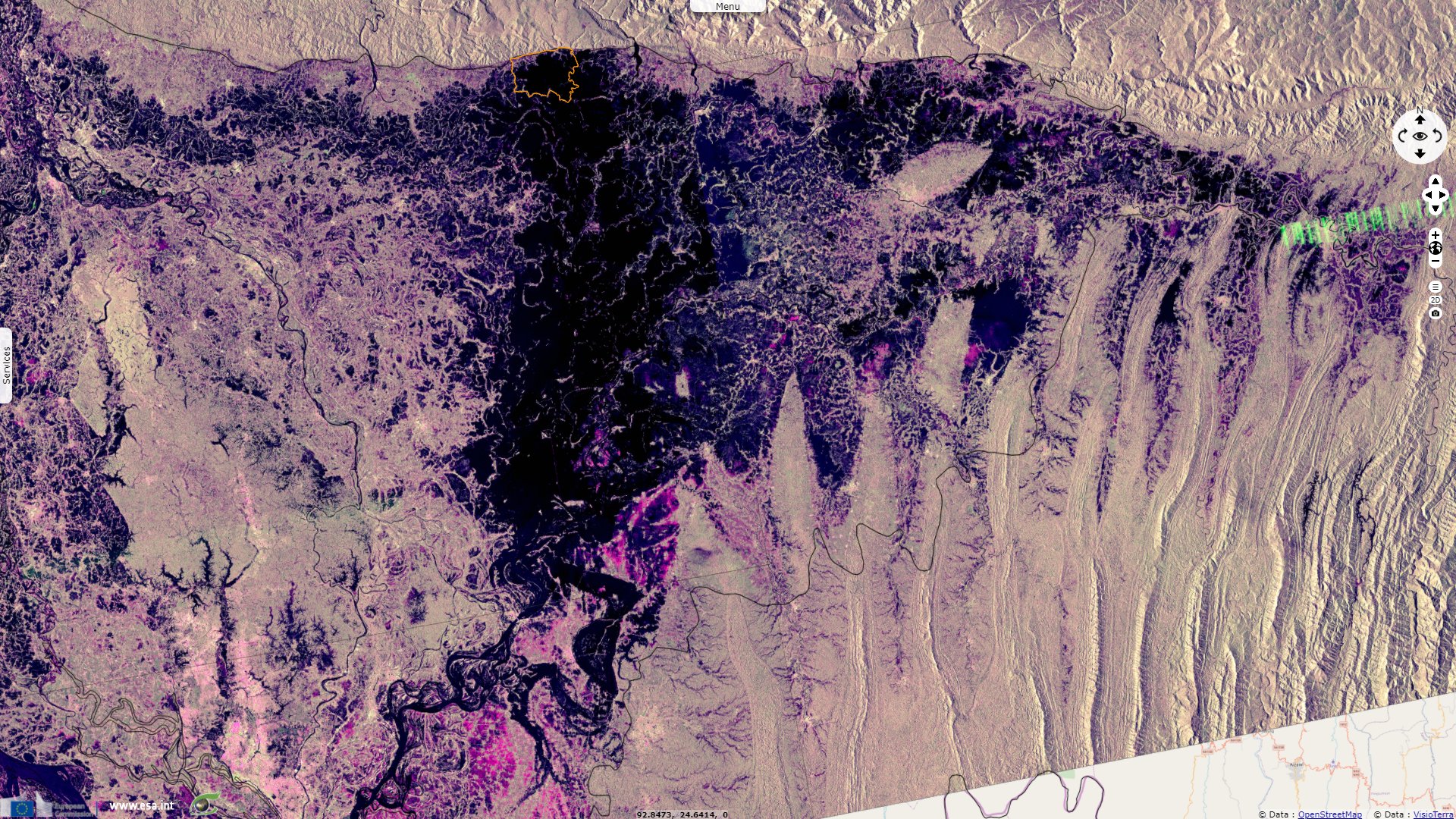
Sentinel-1 CSAR IW acquired on 26 July 2019 from 11:56:29 to 11:56:54 UTC
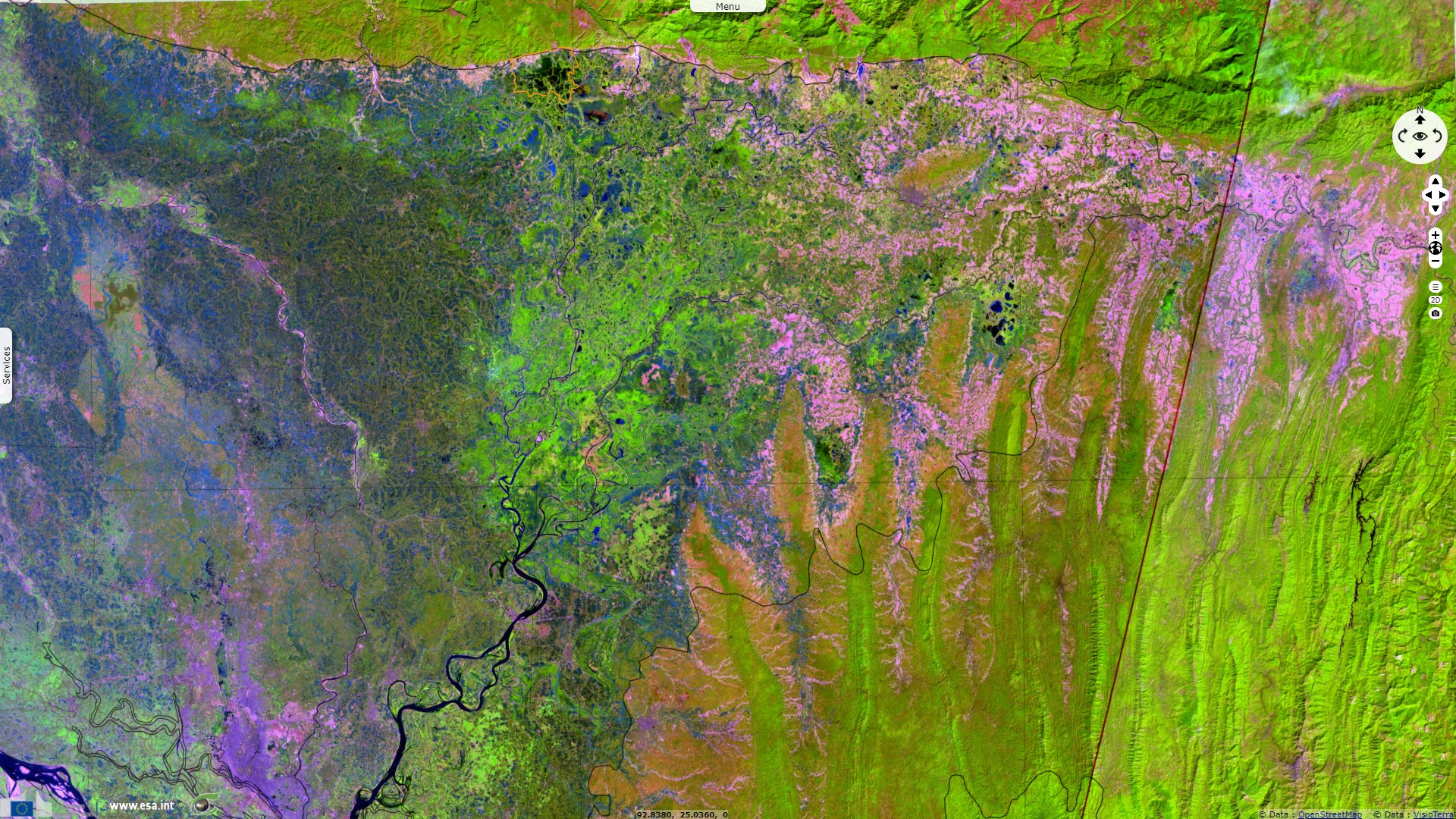
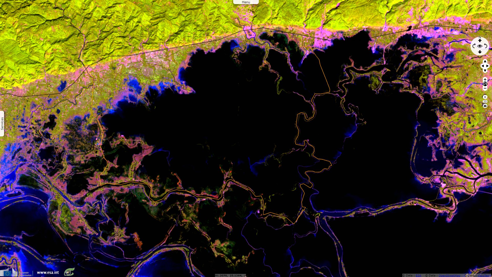
Sentinel-2 MSI acquired on 07 November 2020 at 04:29:59 UTC
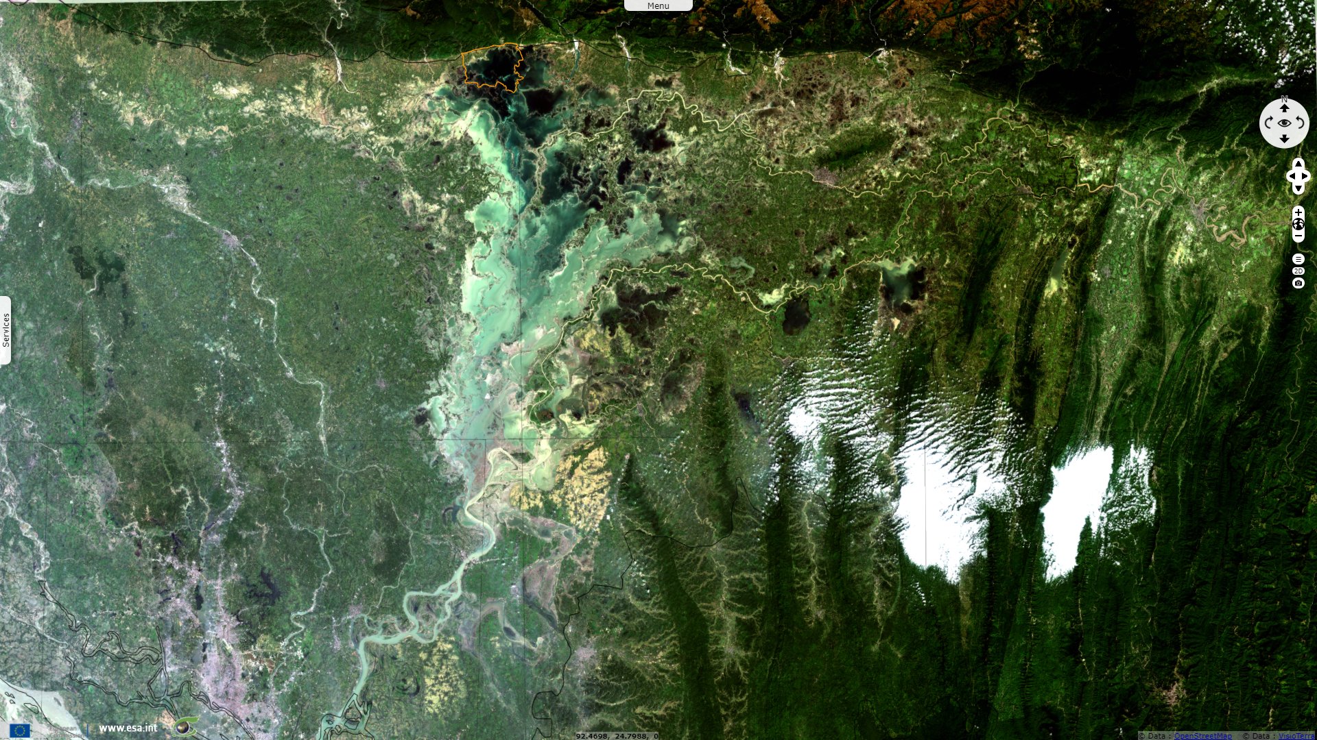
Sentinel-2 MSI acquired on 06 April 2021 at 04:26:59 UTC
...
Sentinel-1 CSAR IW acquired on 26 July 2019 from 11:56:29 to 11:56:54 UTC
Sentinel-2 MSI acquired on 07 November 2020 at 04:29:59 UTC
Sentinel-2 MSI acquired on 06 April 2021 at 04:26:59 UTC
Keyword(s): Hydrology, river, biodiversity, flooding, agriculture, water colour, silt, season, Monsoon, Bangladesh, India, Himalaya
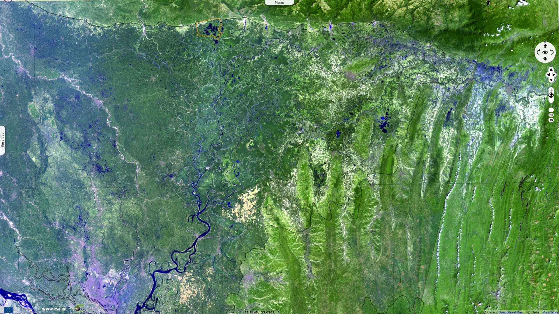
Abdul Wahab Akonda describes the situation of the Hoar basin ecosystem as follows: "The Haor Basin of Sleet and eastern Mymensingh comprises a vast alluvial plain with a mosaic of wetland habitats including numerous rivers, streams and irrigation canals, large areas of seasonally flooded cultivated plains, and hundreds of shallow freshwater lakes and marshes (haors and beels). The basin is bounded to the north by the hill ranges of Meghalaya, to the south by the hills of Tripura and Mizoram, and to the east by highlands of Manipur. The numerous rivers rising in these hills provide an abundant supply of water to the plains and cause extensive flooding during the monsoon season. The drainage is southwest via the Surma and Kalni rivers into the Meghna River and Bay of Bengal."
Diverted eastwards by the collision of the Indian and Chinese tectonic plates, the rivers flowing down from the Himalayas and the Tibetan plateau all flow into the Bay of Bengal, criss-crossing a flat, rainy and muddy delta country of 147 570 km², which is prone to floods and cyclones. Eighty percent of the state's rainfall falls during the five months of the monsoon season (June to October), while only 20 percent of the land is protected from flooding and equipped with drainage and irrigation.
Overheated when the sun reaches the zenith of the tropics, the Indian Ocean evaporates. The humid air, warm and light, rises. A south-west wind, blowing from May to October, brings the monsoon which drenches the Indian sub-continent and snows the Himalayas. Bangladesh receives 80% of the annual rainfall (1.5 to 6 metres) in 5 months. The deluge reaches 12 metres per year at the border, in the hills of Assam.
Born of the monsoon and the Himalayan glaciers, the Ganges and the Brahmaputra drain, together with the Meghna, a mountainous and soggy basin of 1.5 million km². But, diverted eastwards by the folding of the Himalayas, they all flow into the Bay of Bengal, through an ultra-flat country. In summer, when the monsoon rains are added to the melting snow (April-May), their cumulative flow exceeds that of the Amazon (150 000 m3 per second).
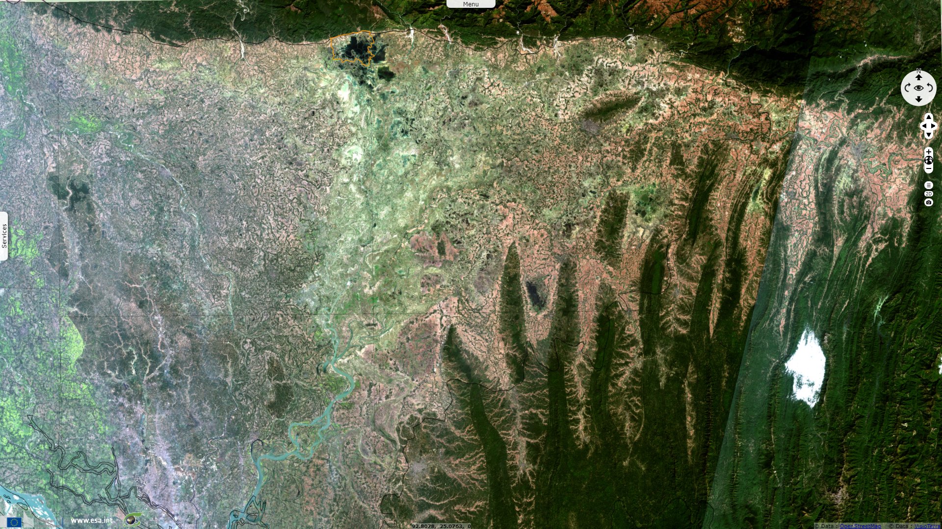
These area is low because of subsidence of tectonic Dauki fault. In the geological depression of the haor basin, subsidence is continuing at an estimated rate of 20 mm per year. In some places it has sunk by around 10 m in the last few hundred years. The area, by some experts, is further divided into three zones by standards of morphology and hydrology:
- The piedmont area: This area around the foothills of the Himalaya is the most elevated zone. This area is an accretion zone where rapid siltation of coarser materials take place along the levees by flash floods. Across the down-slope of levees lie the backswamp, acting as reservoir by storing water and substantially reducing flood peak downstream.
- The floodplain area: The floodplains, with milder slopes, are located at the middle of the basin. This zone receive sediments that is moderately finer and considerably lower in volume. Backswamps along this section fill and drain several times in each monsoon, helping to reduce flood peak downstream.
- The deeply flooded area: This deepest part of the wetlands is known more as the beel. During monsoon the beels and floodplains become deeply flooded and turn into a single water reservoir, especially in the Surma-Kushiyara-Meghna basin.
Abdul Wahab Akonda explains the different features of this ecoregion: "The numerous permanent and seasonal freshwater lakes and marshes of the flood plains are known as haors, baors and beels.
- A haor is a bowl-shaped depression between the natural levees of a river, or a succession of such depressions. Haors are flooded every year by the monsoon floods, and most retain some water throughout the dry season. Most are found in eastern Mymensingh and Sylhet, in a region known as the Haor Basin.
- A baor is an oxbow lake or other wetland formed in a dead arm of a river. Baors range in size from about 50 ha to 1300 ha, and most retain water throughout the year. All are situated in the moribund delta of the Ganges in Kushtia, Jessore and Faridpur.
- Beels are usually saucer-like depressions which generally retain water throughout the year. Most become overgrown with marsh vegetation during the dry season, but a few dry out completely. There are over a thousand beels in the country, the greatest concentrations being in the main delta region and in the Haor Basin.
"Cultivation of rice is a major activity in and around the wetlands of the Ganges-Brahmaputra flood plain and Haor Basin. Low-lying lands under private ownership are used almost exclusively for the cultivation of rice, and the state-owned margins of beels, baors, haors and rivers are often leased on an annual basis for paddy cultivation. During the dry season, large numbers of domestic livestock, mainly cattle and buffalo, are allowed to graze in the marshes, and the aquatic vegetation is harvested to provide fodder during the monsoon. In recent years, the wetlands have also been used for rearing domestic ducks."
"The once extensive forests of Barringtonia in the Haor Basin and around the flood plain wetlands provided an important source of firewood, but these forests have now been almost completely destroyed, and today various herbs and aquatic plants are collected for use as fuel. In recent years, aquatic plants have also been collected for use as fertilizers. Some of the wetlands have considerable potential for tourism, and provide excellent opportunities for scientific research and conservation education."
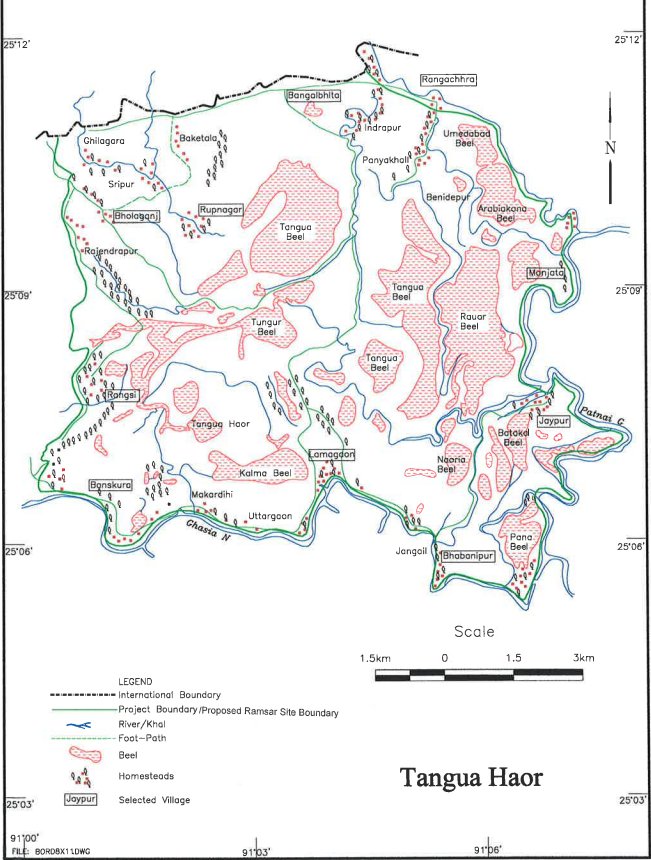
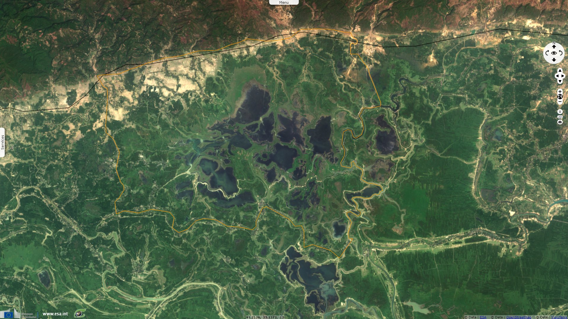
Map of the Tangua Haor Ramsar site - Ramsar
The sheet of the Ramsar site shows its significance for biodiversity: "Tanguar Haor provides habitat for at least 135 fish and 208 bird species, including 92 waterbird species and 98 migratory bird species, and including 10 IUCN Red Book and 22 CITES listed species. About 30-40,000 migratory waterfowl converge on the area in the northern winter months, and rare species such as Pallas's Fish-eagle are relatively common and breed in the area."
"Tanguar Haor also supports a rich fishery and is regarded as one of the country's richest breeding grounds for freshwater fish. Threats include over-exploited fishery stocks and uncontrolled taking of waterfowl, and the local community has been denied access to the resources by leaseholders of the fishery, which has led to conflicts. Hunting of turtles, tortoises, and waterfowl is widespread and part of everyday life, and the way of life - living in homesteads built on mounds -- is said to be unique in this part of Bangladesh."

"Tanguar Haor is one of the largest Haor in Bangladesh. A typical Freshwater swamp forest can be seen on the right side and the Khasi Hills of the state of Meghalaya in India can be seen in the background." - Source: Oporichito Anam
Economist Qazi kholiquzzaman Ahmad of the Dhaka School of Economics warns against the risk of global warming for Bangladesh due to its topography: "As a result of global warming, Bangladesh could lose 20% of its territory to rising sea levels. By 2050, here's what's going to happen: a third of the population will be displaced. By 2050, on the one hand, our agricultural land will decrease, because of the salinity. Some land will even be submerged. And on the other hand, the population is increasing. By 2050, there could be 50 million 'climate refugees' in the country."
The views expressed herein can in no way be taken to reflect the official opinion of the European Space Agency or the European Union.
Contains modified Copernicus Sentinel data 2026, processed by VisioTerra.
Contains modified Copernicus Sentinel data 2026, processed by VisioTerra.
| More on European Commission space: |  |
 |
 |
||||
| More on ESA: | |
|
|
S-1 website | S-2 website | S-3 website | |
| More on Copernicus program: | |
|
|
Scihub portal | Cophub portal | Inthub portal | Colhub portal |
| More on VisioTerra: | |
|
|
Sentinel Vision Portal | Envisat+ERS portal | Swarm+GOCE portal | CryoSat portal |