U.A.E. boomtowns between desert and Gulf waters
Sentinel-1 CSAR IW acquired on 29 April 2015 from 14:31:47 to 14:32:12 UTC
...
Sentinel-3 OLCI FR acquired on 29 October 2017 at 06:38:12 UTC
Sentinel-2 MSI acquired on 05 November 2017 at 06:50:29 UTC
Sentinel-1 CSAR IW acquired on 27 November 2017 from 14:23:50 to 14:24:40 UTC
...
Sentinel-3 OLCI FR acquired on 29 October 2017 at 06:38:12 UTC
Sentinel-2 MSI acquired on 05 November 2017 at 06:50:29 UTC
Sentinel-1 CSAR IW acquired on 27 November 2017 from 14:23:50 to 14:24:40 UTC
Keyword(s): Land, coastal, urban growth, water colour, wetland, mangrove swamp, salt flat, desert, Ramsar, Dubai, Abu Dhabi, United Arab Emirates, Persian Gulf, Rub' al Khali
UAE celebrate the Union Day, the anniversary of the union between the six emirates the 02 December 1971.
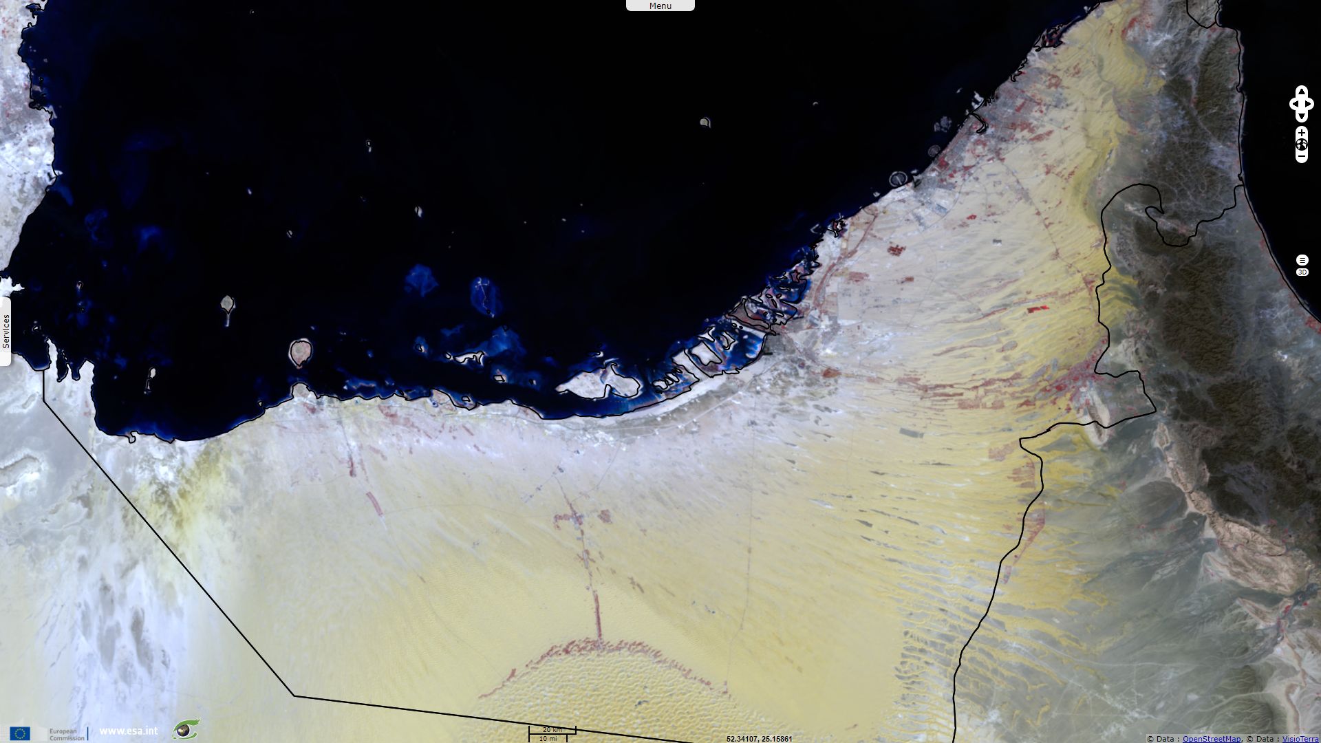
These views of the United Arab Emirates show that most population lives along the Persian Gulf coast and its shallow waters. While the presence of sebkhas (white) near the coasts is detrimental to agriculture, one can identify irrigated cropland (red) east (bordering Oman) & south (bordering Saudi Arabia) of Abu Dhabi Emirate in the Rub' al Khali erg. The NDVI shows higher values on the top of the dunes than between dunes where water evaporated leaving salty deposits.
This colour composite also shows vegetation (green) in the erg while saline flat depressions (cyan) mostly lie near the Persian Gulf.
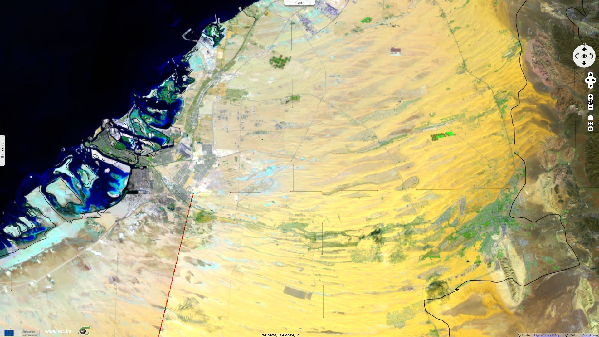
This image shows contrasting landscape of Ras al-Khaimah Emirate. The eponymous capital city is a densely packed metropolis expanding over the water using artificial land.
It is bordered at north-west by sand bars and mangroves leading to shallow coastal waters. At east, a rugged mountainous reg (brown) isolates the regions from the influence of the Indian Ocean. At south begins the Rub' al Khali great erg (yellow).
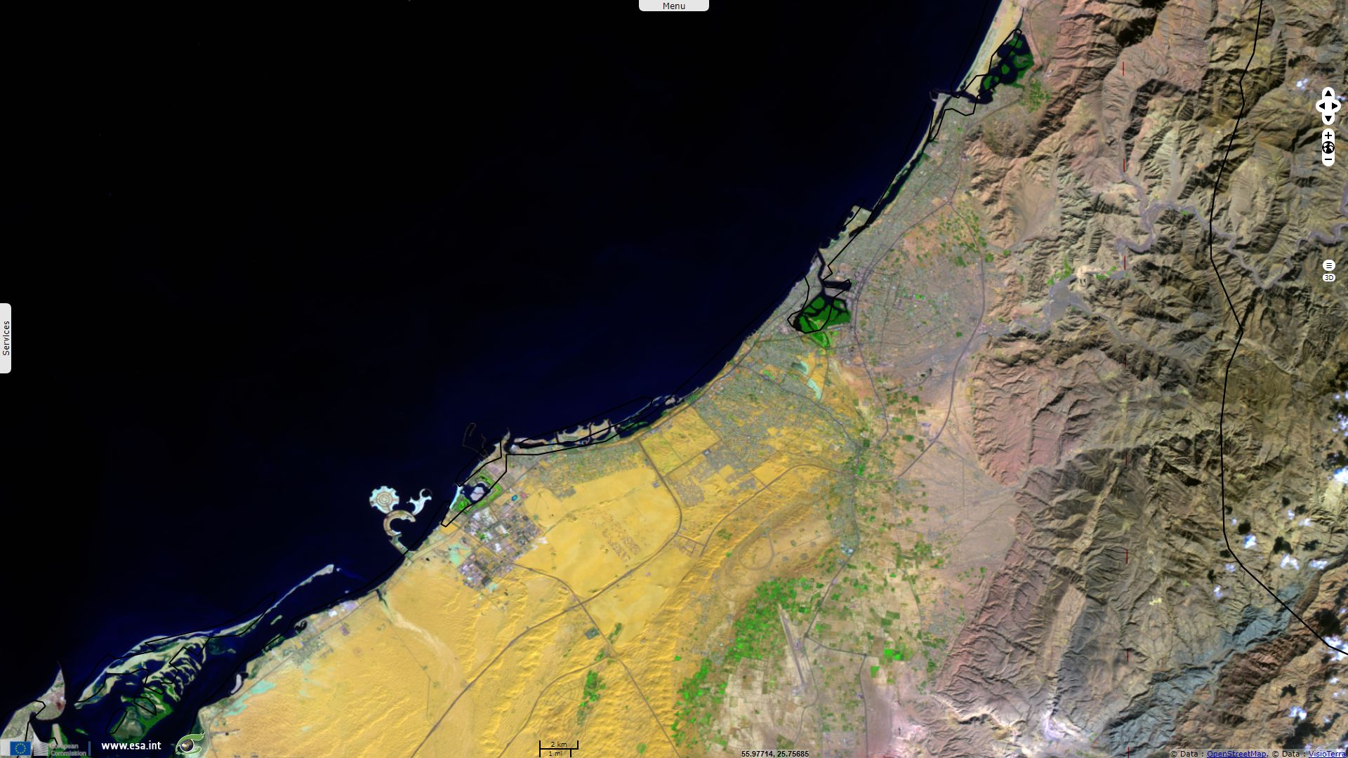
This images shows Dubai city, capital of the Dubai Emirate. North-east, one can identify Dubai International Airport, an import hub. South-west of the image, the business district counts an important number of skyscrapers which of the Burj Khalifa, World's current heighest building, with 830m between its tip and the ground. These buildings are highlighted by the long shadows caused by the November sun.
som-nick-merrick-hedrich-blessing2010.jpg)
Burj Khalifa - source
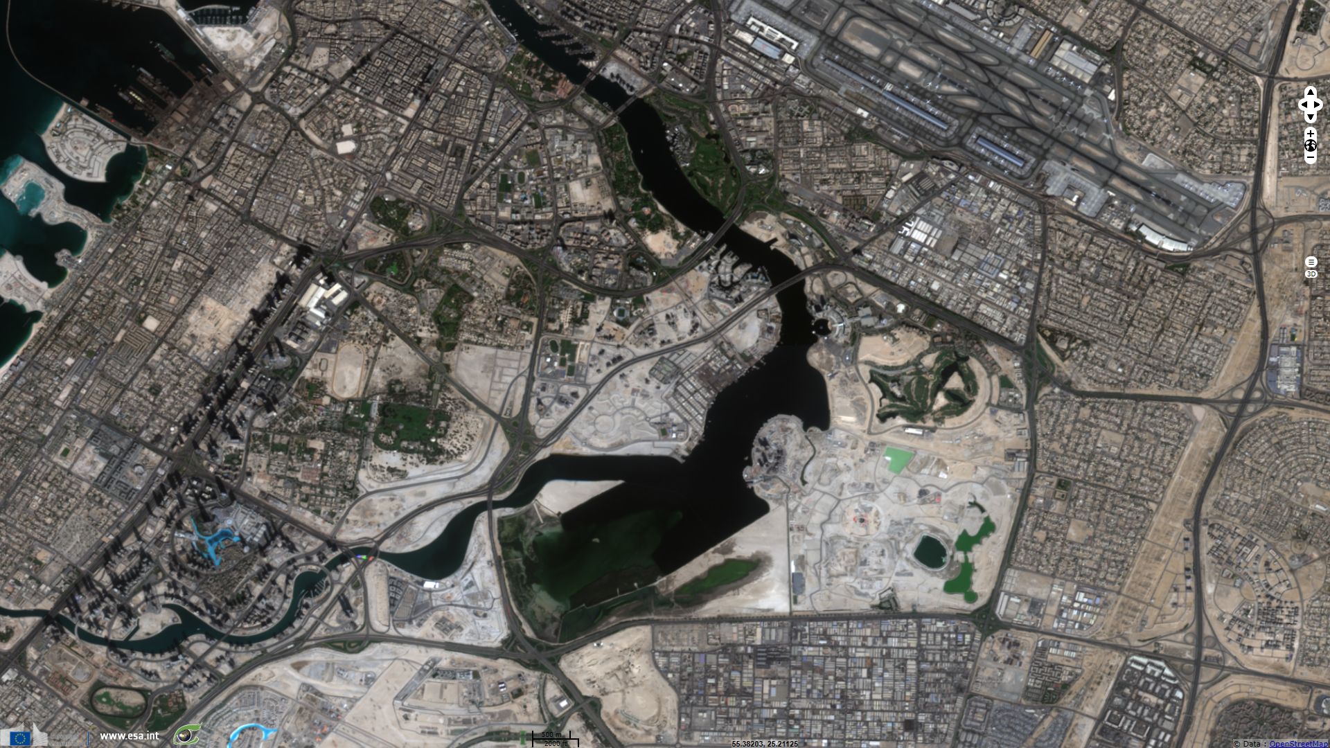
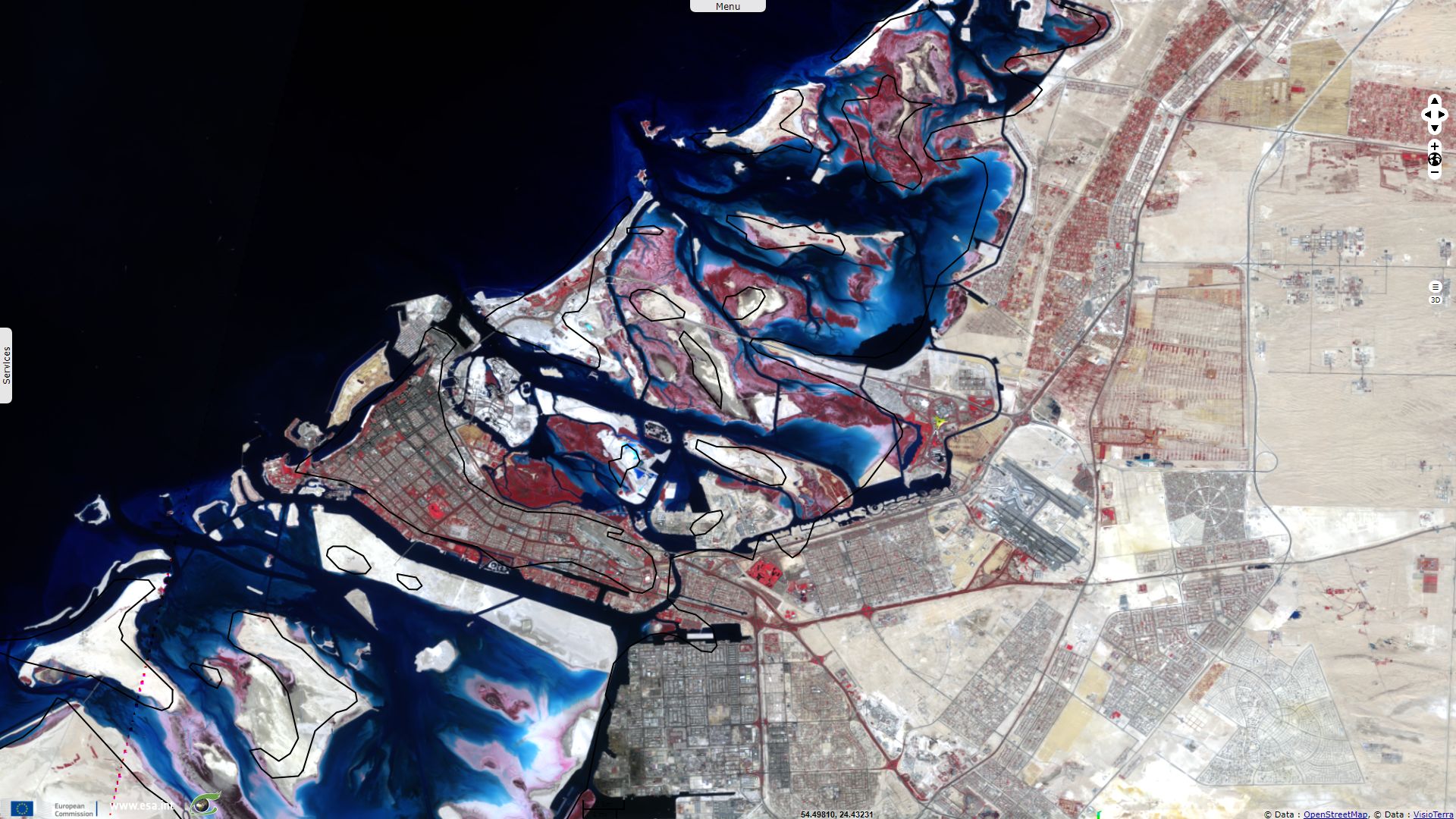
Centre of this image lies a Ramsar site, the Ras Al Khor Wildlife Sanctuary: "Located at the end of the 14 km-long Dubai creek within the northern part of the Emirate of Dubai. A rare site in the arid Gulf region, this natural coastal wetland consists of low-lying saline flats, lagoon, intertidal mud and sand flats and mangrove swamps that serve as an important habitat for more than 450 species of fauna and 47 species of flora. During winter, it regularly supports more than 20,000 waterbirds belonging to 67 species and acts as a critical staging ground for migratory waterbirds along the East African-West Asian Flyway."
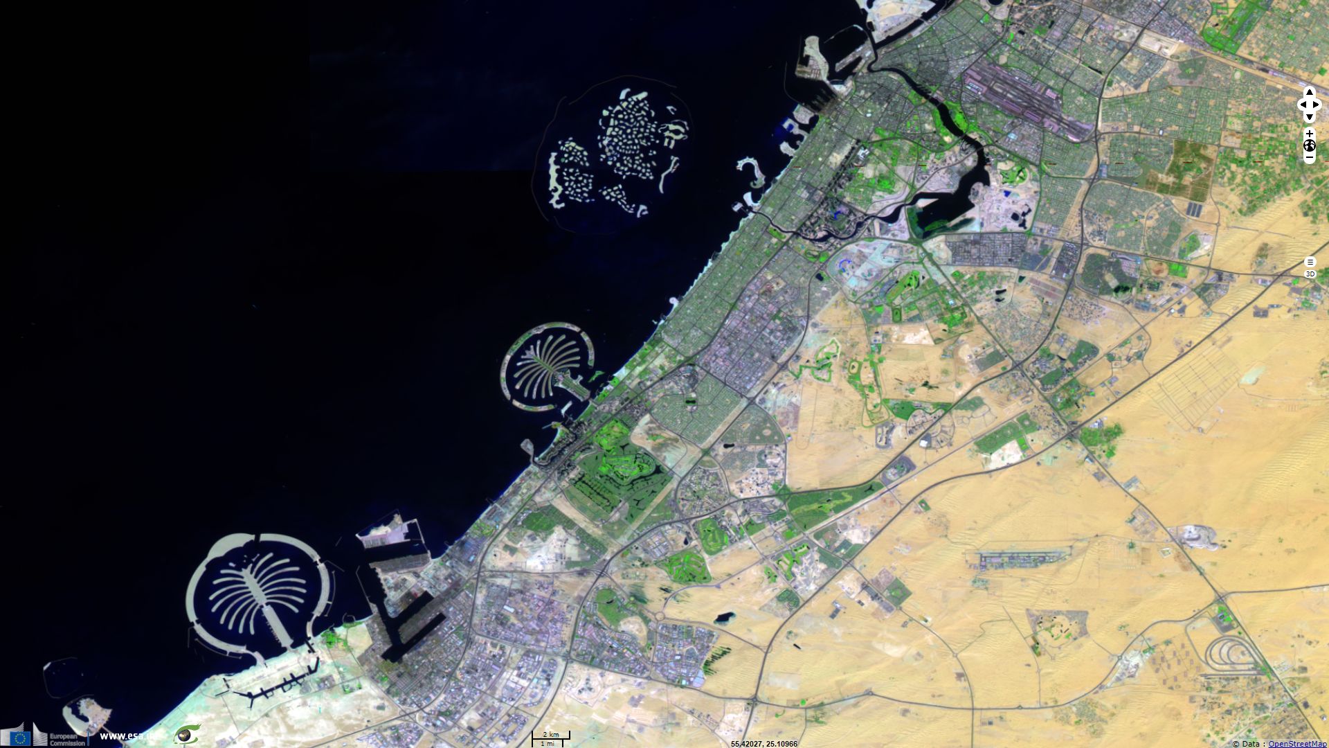
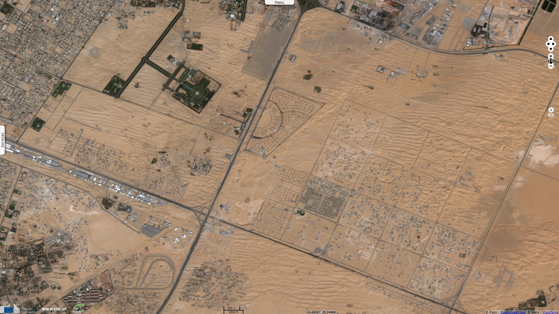
The 60km x 60km Dubai Emirate got rich as a tax haven and then by becoming an important oil producer in the 60s. It is now also known for its extravagant constructions which of artificial islands shown here, the best known being kilometers-long palm-shaped archipelagos.
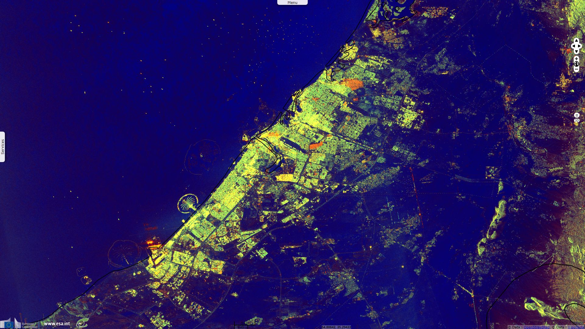
This animation shows important changes in Dubai between 2015 and 2017. Since oil was discovered in Dubai during the 60s, population multiplied by 50, it now exceeds 2.5 million inhabitants. 23% of those are Emirati as against 11% in the whole UAE, the rest being mostly expatriated employees.
Oil and gas allowed UAE economy to boom, turning from the sea to the land. While efforts are intended to diversify, the weight of hydrocarbon in the economy is still overwhelming.
Before, the economy of Abu Dhabi was long based on fishing and the export of pearls, making these shallow coastal waters the basis of its development.
The wetland west of Abu Dhabi city has been designated as a Ramsar site the 01 May 2017. Ramsar describes the site, writing:
"Bul Syayeef is a coastal wetland covering over 14,500 hectares in the west of the Musaffah channel, about 20 kilometres outside Abu Dhabi City. The international importance of the Site is due to its highly diverse wetland habitats including mangroves, salt marshes and seagrass beds, and the large number of species which they host. Its tidal mudflats are home to over 80 migratory and resident birds. Potential threats within and around the Site are related to the growth of housing and commercial and industrial areas, transportation and fishing activities."
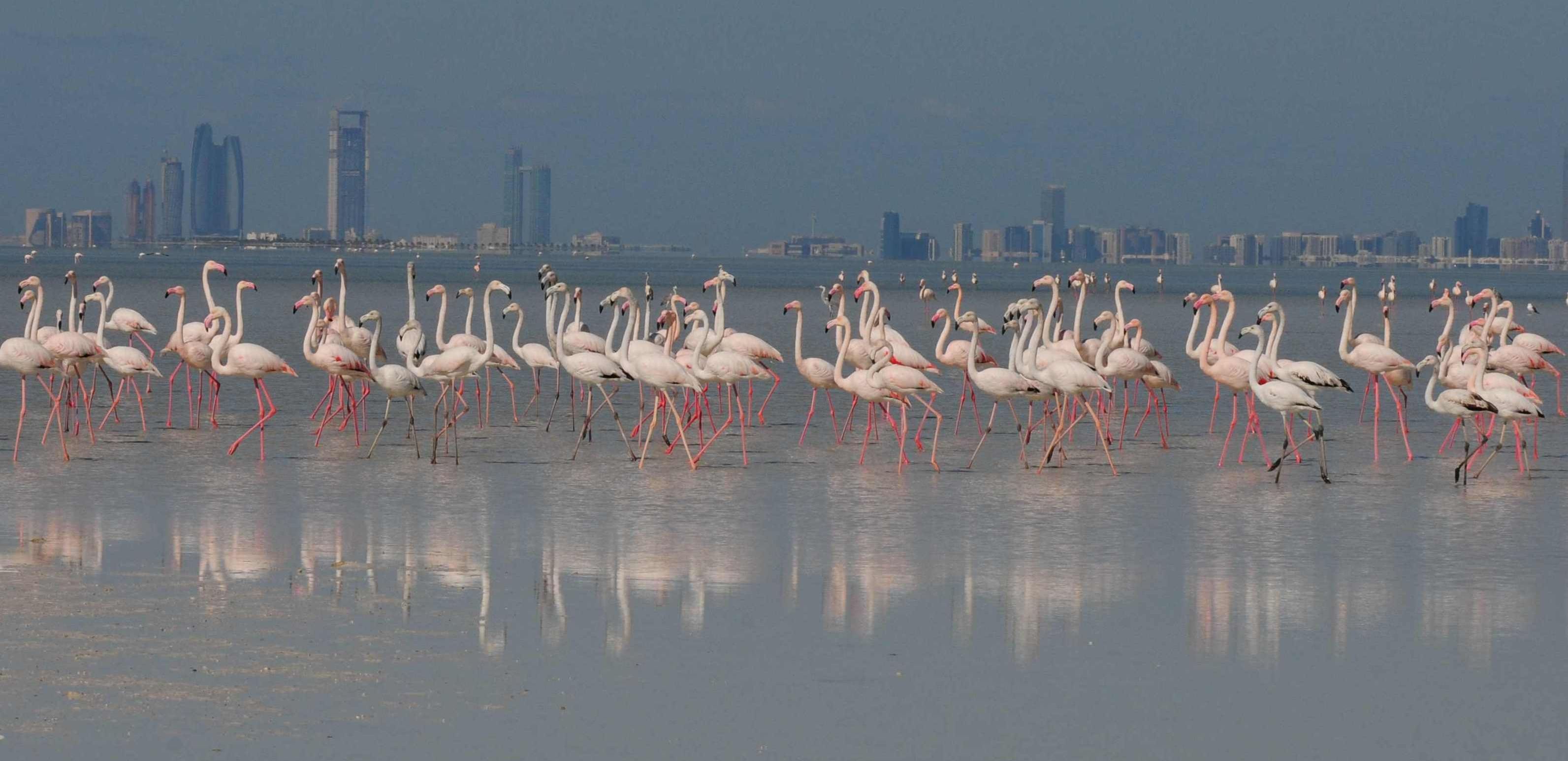
Flamingoes in Bul Syayeef wetland with Abu Dhabi in the background
The views expressed herein can in no way be taken to reflect the official opinion of the European Space Agency or the European Union.
Contains modified Copernicus Sentinel data 2026, processed by VisioTerra.
Contains modified Copernicus Sentinel data 2026, processed by VisioTerra.
| More on European Commission space: |  |
 |
 |
||||
| More on ESA: | |
|
|
S-1 website | S-2 website | S-3 website | |
| More on Copernicus program: | |
|
|
Scihub portal | Cophub portal | Inthub portal | Colhub portal |
| More on VisioTerra: | |
|
|
Sentinel Vision Portal | Envisat+ERS portal | Swarm+GOCE portal | CryoSat portal |