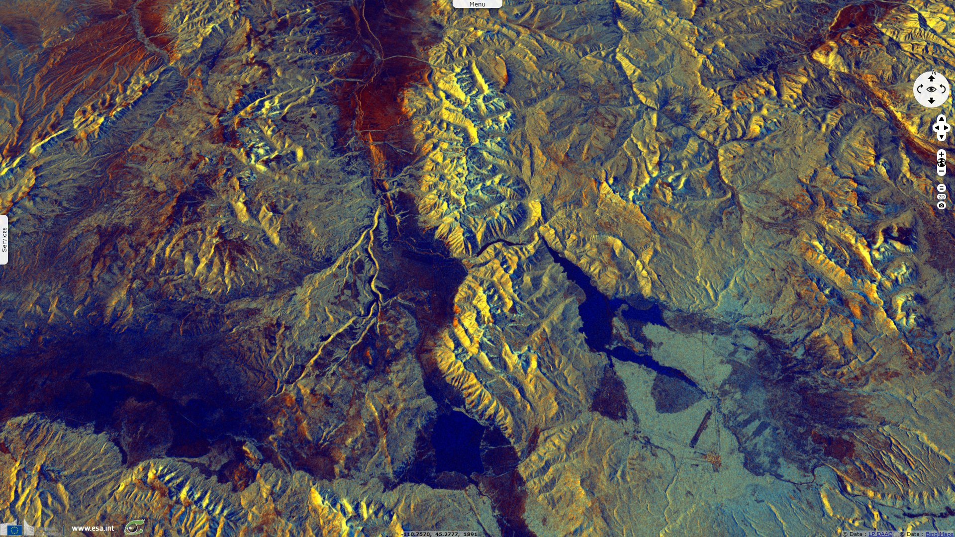
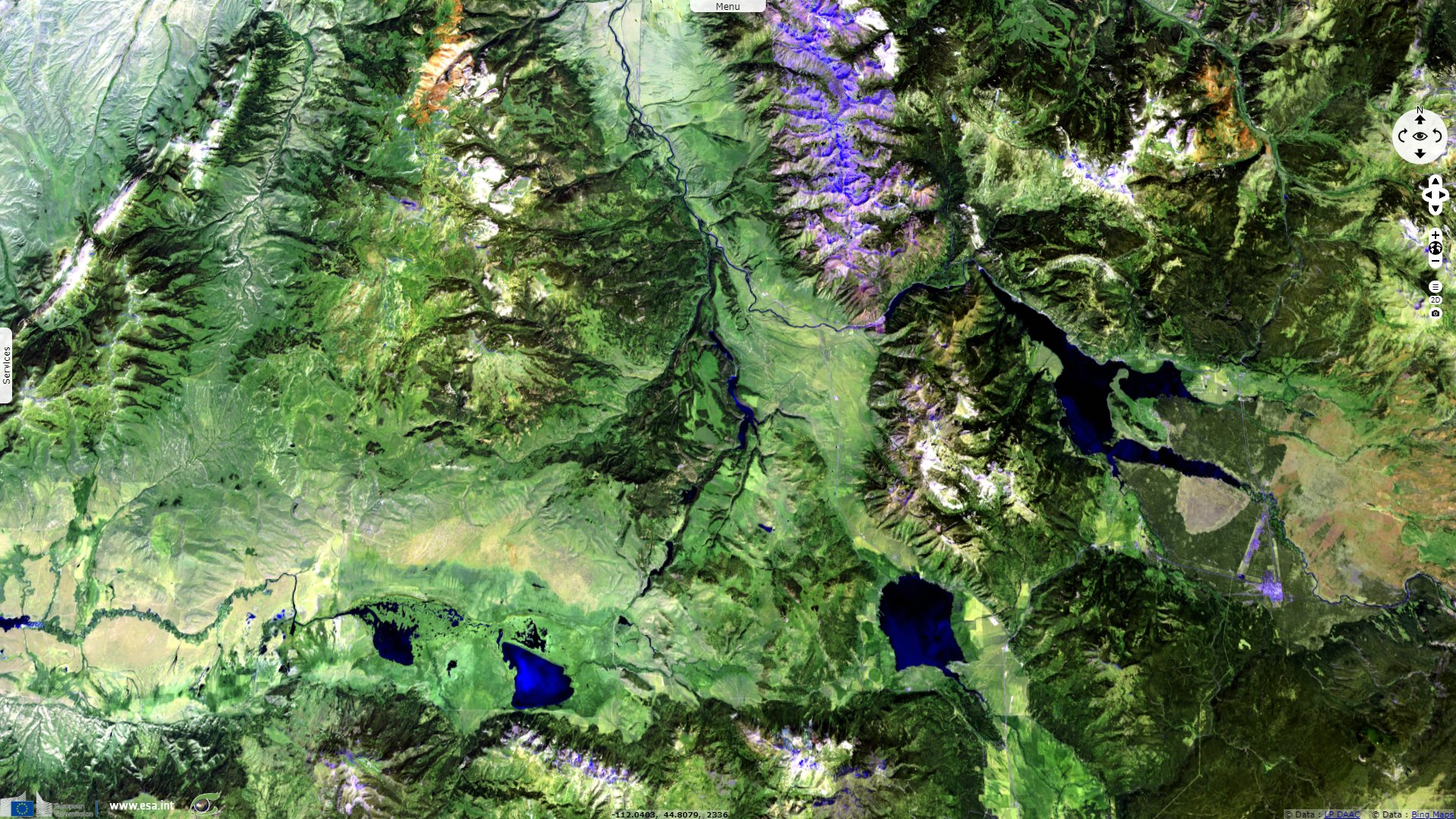
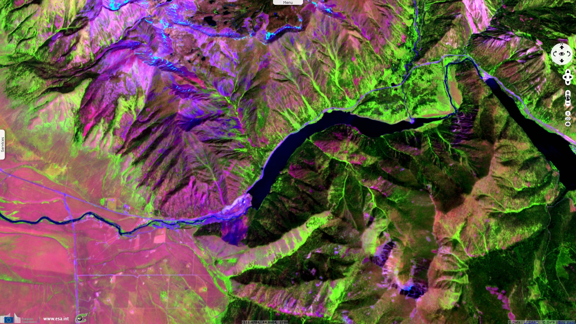
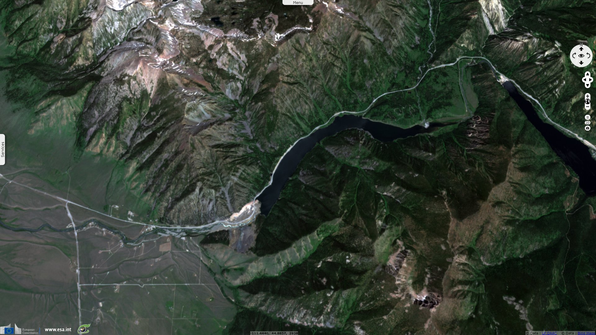
Lake Earthquake, Montana, United States
Sentinel-2 MSI acquired on 20 July 2019 at 18:19:31 UTC
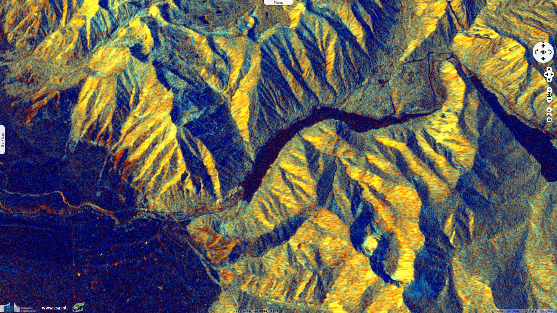
Sentinel-1 CSAR IW acquired on 10 March 2020 at 01:19:29 UTC
Sentinel-1 CSAR IW acquired on 10 March 2020 at 01:19:29 UTC
Keyword(s): Geohazard, natural disaster, landslide, earthquake, dam, lake, Yellowstone hotspot, USA
The views expressed herein can in no way be taken to reflect the official opinion of the European Space Agency or the European Union.
Contains modified Copernicus Sentinel data 2026, processed by VisioTerra.
Contains modified Copernicus Sentinel data 2026, processed by VisioTerra.
| More on European Commission space: |  |
 |
 |
||||
| More on ESA: | |
|
|
S-1 website | S-2 website | S-3 website | |
| More on Copernicus program: | |
|
|
Scihub portal | Cophub portal | Inthub portal | Colhub portal |
| More on VisioTerra: | |
|
|
Sentinel Vision Portal | Envisat+ERS portal | Swarm+GOCE portal | CryoSat portal |