Kyarr cyclone monitored by Sentinel-3
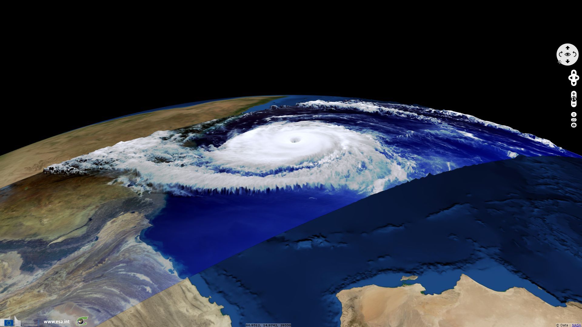
Sentinel-3 OLCI FR acquired on 27 October 2019 at 05:23:35 UTC
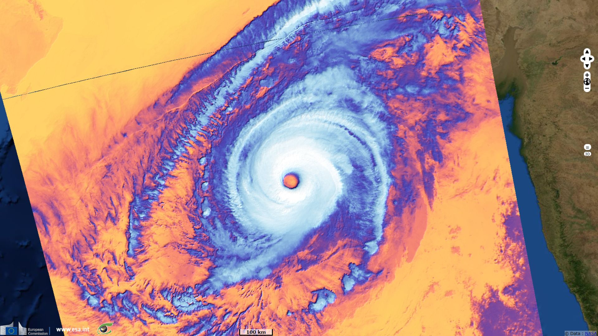
Sentinel-3 SLSTR RBT acquired on 27 October 2019 at 17:32:52 UTC
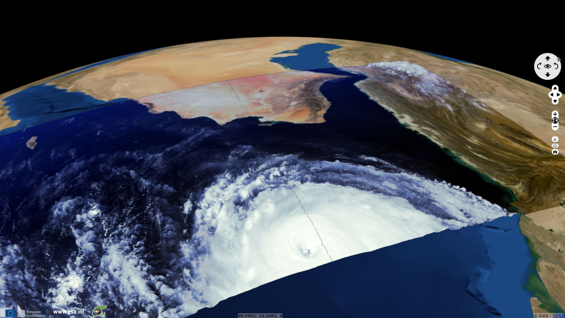
Sentinel-3 OLCI FR acquired on 28 October 2019 at 05:58:47 UTC
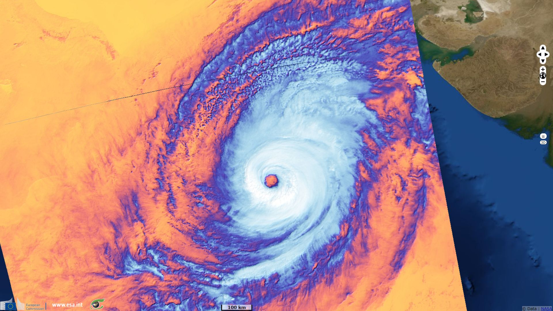
Sentinel-3 SLSTR RBT acquired on 28 October 2019 at 17:46:18 UTC
Sentinel-3 SLSTR RBT acquired on 27 October 2019 at 17:32:52 UTC
Sentinel-3 OLCI FR acquired on 28 October 2019 at 05:58:47 UTC
Sentinel-3 SLSTR RBT acquired on 28 October 2019 at 17:46:18 UTC
Keyword(s): Natural disaster, atmosphere, storm, climate, wind, rain, cyclone, Arabian sea


