Natural & man made hazards at la Reunion, France
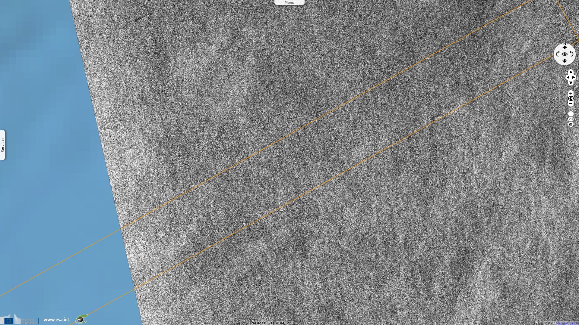
Sentinel-1 CSAR IW acquired on 14 November 2020 at 01:38:22 UTC
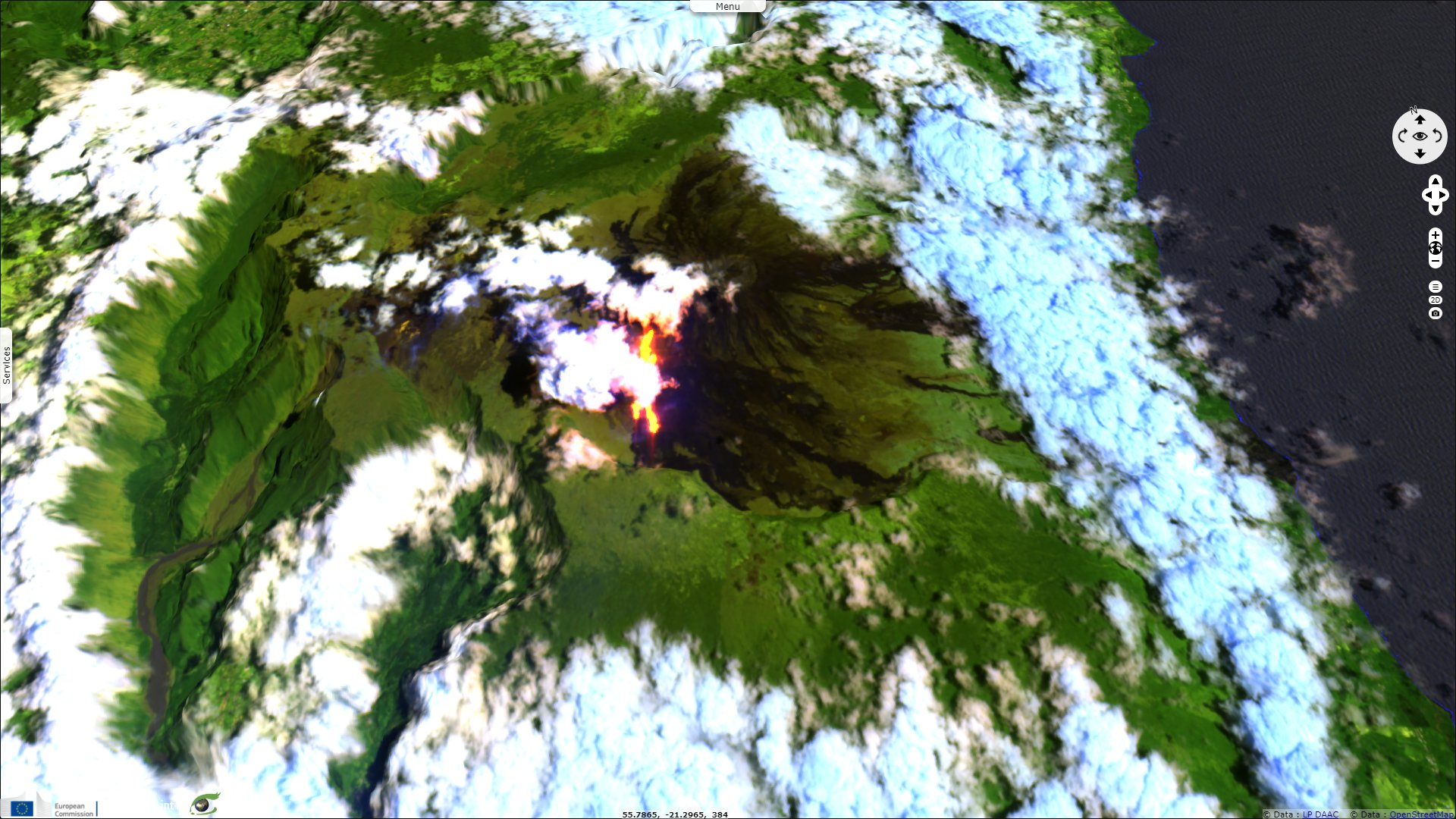
Sentinel-3 OLCI FR acquired on 14 November 2020 from 05:41:07 to 05:44:07 UTC
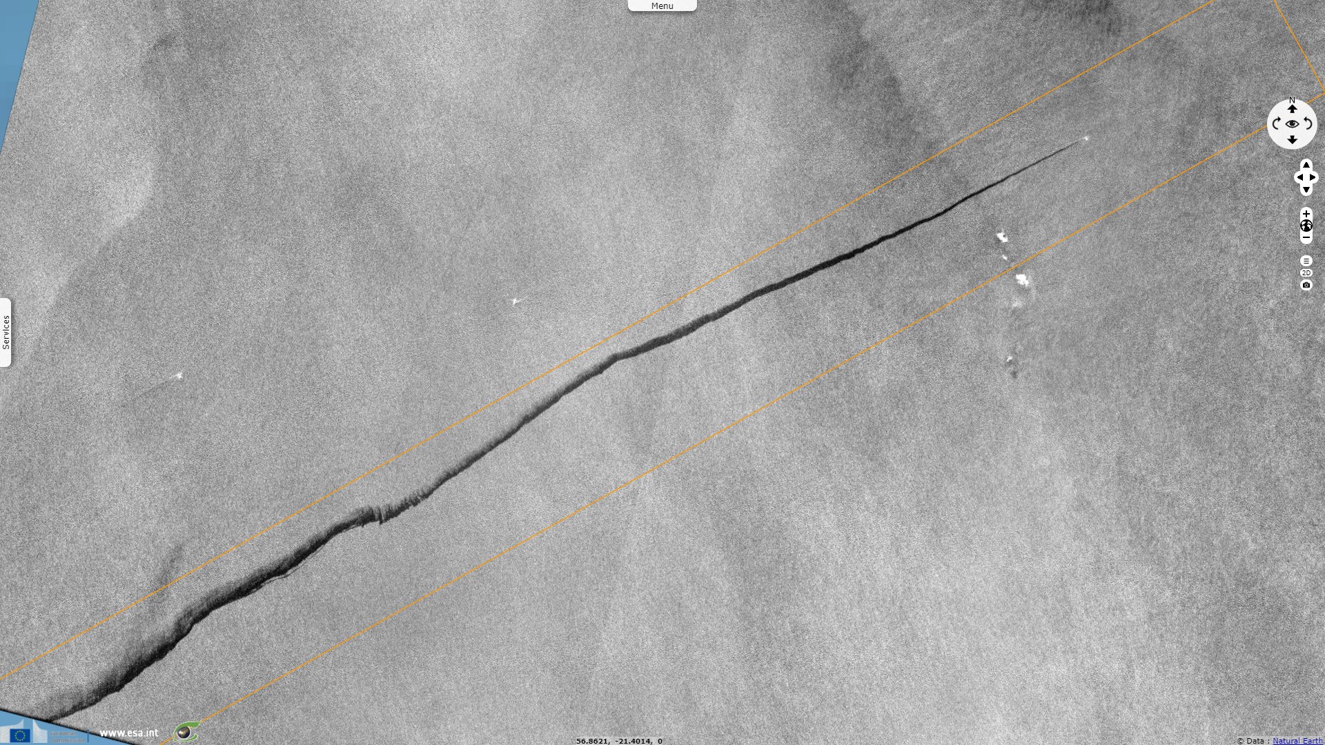
Sentinel-1 CSAR EW acquired on 14 November 2020 at 14:36:18 UTC
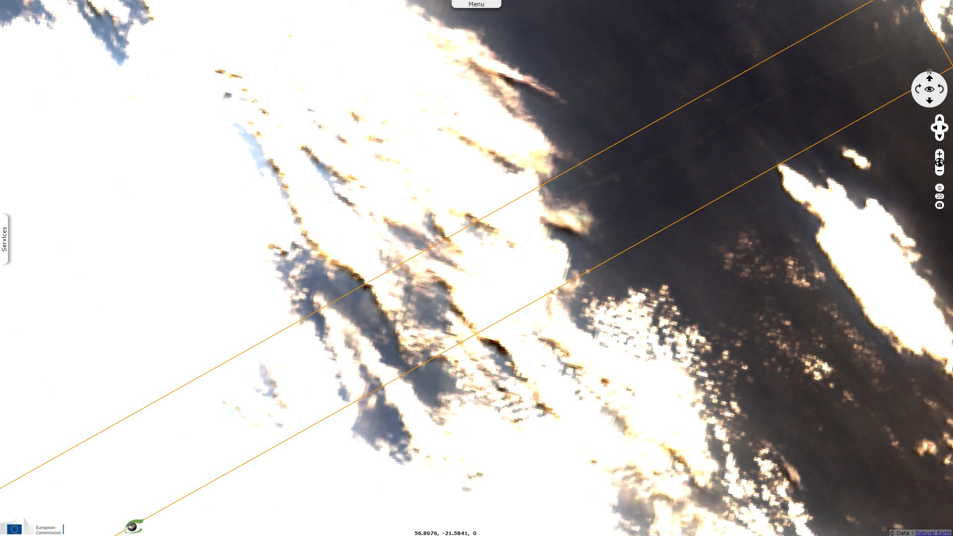
Sentinel-2 MSI acquired on 07 December 2020 at 06:35:09 UTC
Sentinel-3 OLCI FR acquired on 14 November 2020 from 05:41:07 to 05:44:07 UTC
Sentinel-1 CSAR EW acquired on 14 November 2020 at 14:36:18 UTC
Sentinel-2 MSI acquired on 07 December 2020 at 06:35:09 UTC
Keyword(s): Island, geohazard, volcano eruption, lava, coastal, pollution, marine environment, oil and gas, oil spill, oil slick, coral reef, ship, marine traffic, coral reef, lagoon, France, Mauritius, Indian Ocean
The views expressed herein can in no way be taken to reflect the official opinion of the European Space Agency or the European Union.
Contains modified Copernicus Sentinel data 2026, processed by VisioTerra.
Contains modified Copernicus Sentinel data 2026, processed by VisioTerra.
| More on European Commission space: |  |
 |
 |
||||
| More on ESA: | |
|
|
S-1 website | S-2 website | S-3 website | |
| More on Copernicus program: | |
|
|
Scihub portal | Cophub portal | Inthub portal | Colhub portal |
| More on VisioTerra: | |
|
|
Sentinel Vision Portal | Envisat+ERS portal | Swarm+GOCE portal | CryoSat portal |