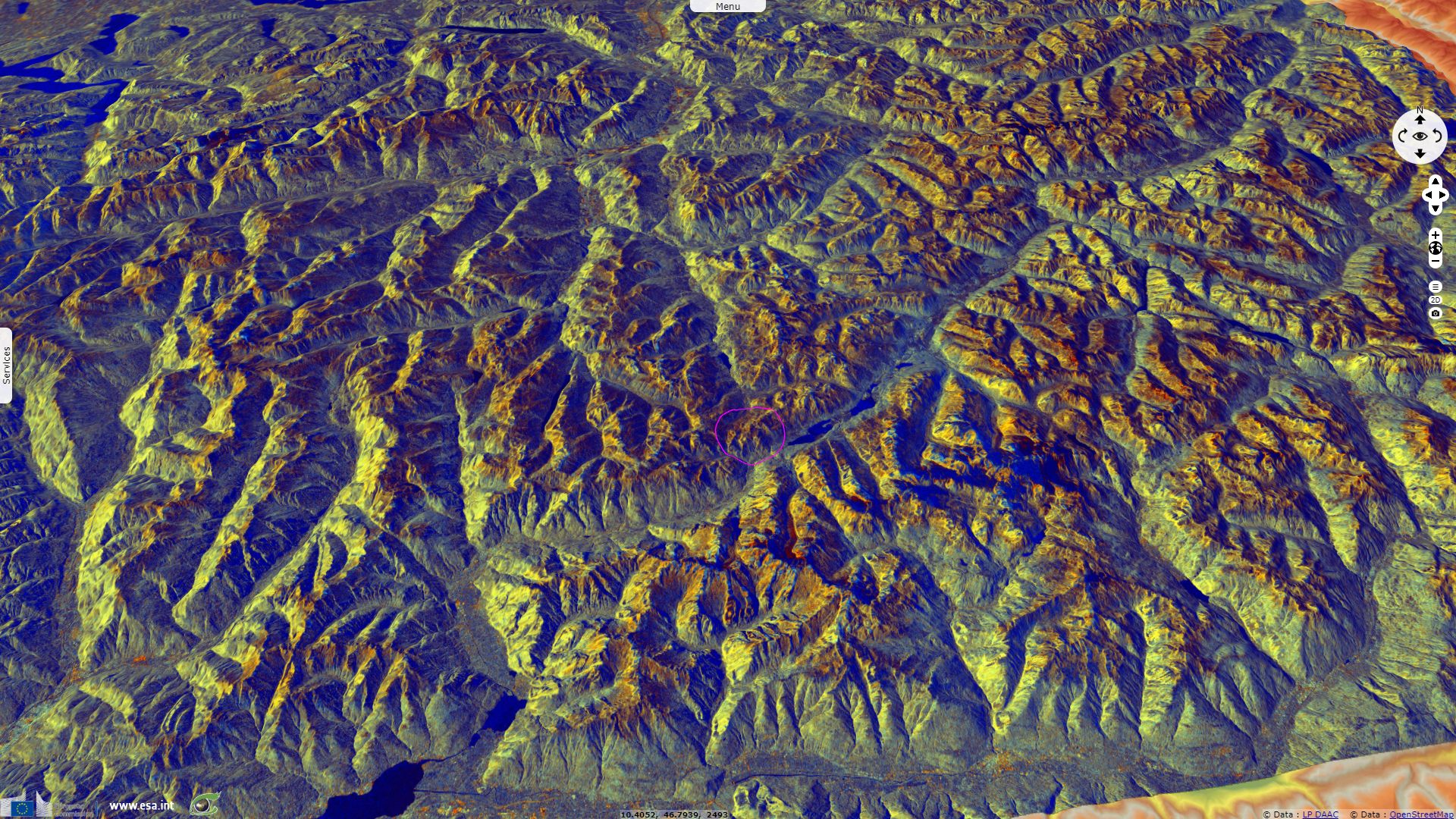
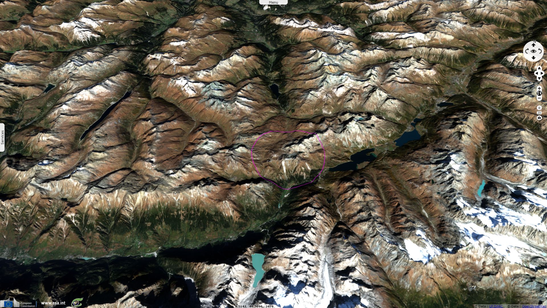
Lunghin Pass, the apex of the European river system
Sentinel-1 CSAR IW acquired on 03 September 2018 at 17:15:17 UTC
Sentinel-2 MSI acquired on 19 October 2018 at 10:20:31 UTC
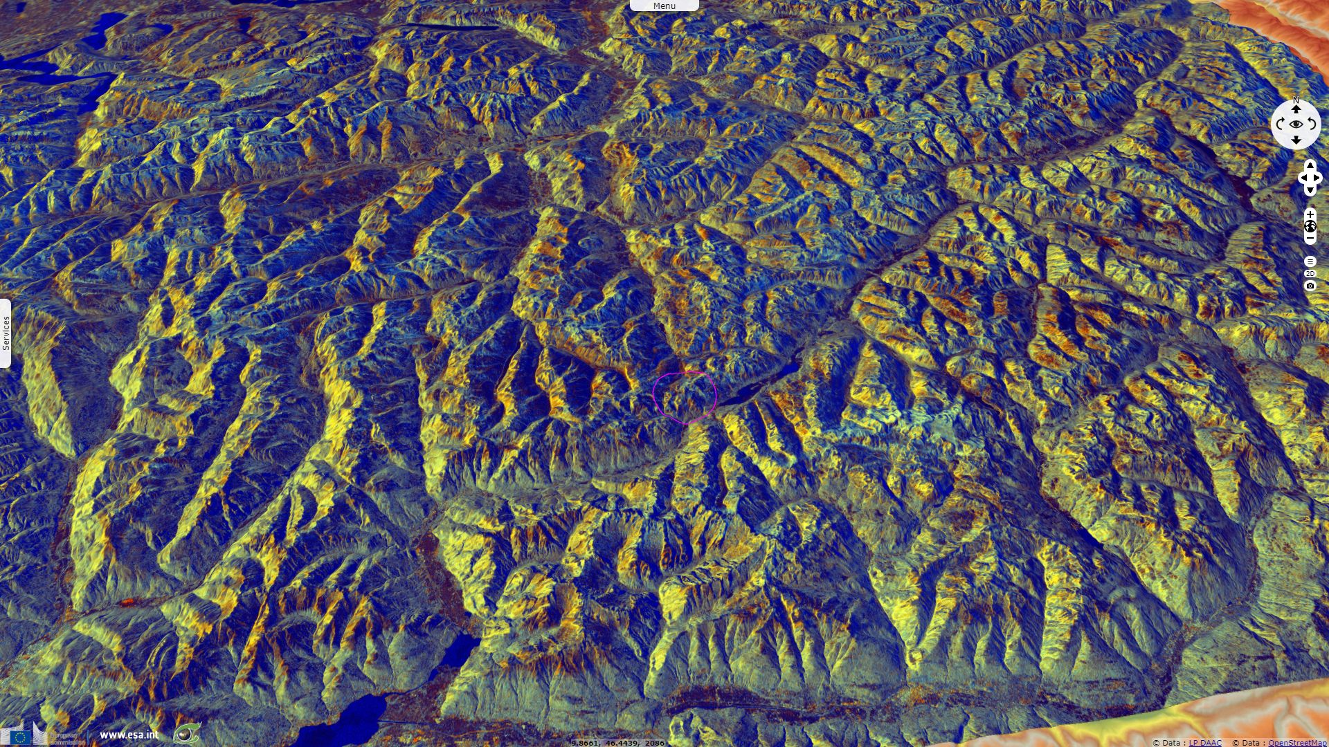
Sentinel-1 CSAR IW acquired on 06 February 2019 at 17:15:14 UTC
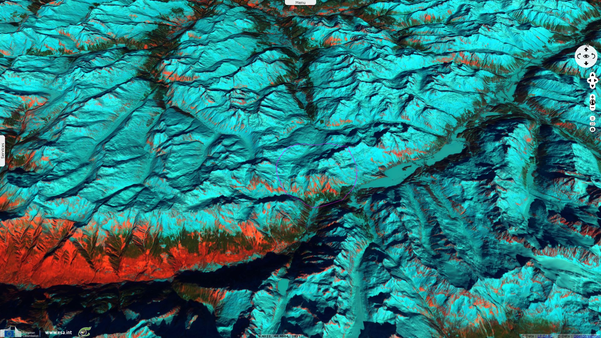
Sentinel-2 MSI acquired on 21 February 2019 at 10:20:39 UTC
Sentinel-2 MSI acquired on 19 October 2018 at 10:20:31 UTC
Sentinel-1 CSAR IW acquired on 06 February 2019 at 17:15:14 UTC
Sentinel-2 MSI acquired on 21 February 2019 at 10:20:39 UTC
Keyword(s): Land, hydrology, river, cryosphere, mountain range, glacier, lake, snow, ice, Switzerland, Italy, Austria, Alps
From there, water enters the North Sea (Atlantic Ocean) via the Rhine, the Adriatic (Mediterranean Sea) via the Po or the Black Sea via the Danube.
The views expressed herein can in no way be taken to reflect the official opinion of the European Space Agency or the European Union.
Contains modified Copernicus Sentinel data 2026, processed by VisioTerra.
Contains modified Copernicus Sentinel data 2026, processed by VisioTerra.
| More on European Commission space: |  |
 |
 |
||||
| More on ESA: | |
|
|
S-1 website | S-2 website | S-3 website | |
| More on Copernicus program: | |
|
|
Scihub portal | Cophub portal | Inthub portal | Colhub portal |
| More on VisioTerra: | |
|
|
Sentinel Vision Portal | Envisat+ERS portal | Swarm+GOCE portal | CryoSat portal |