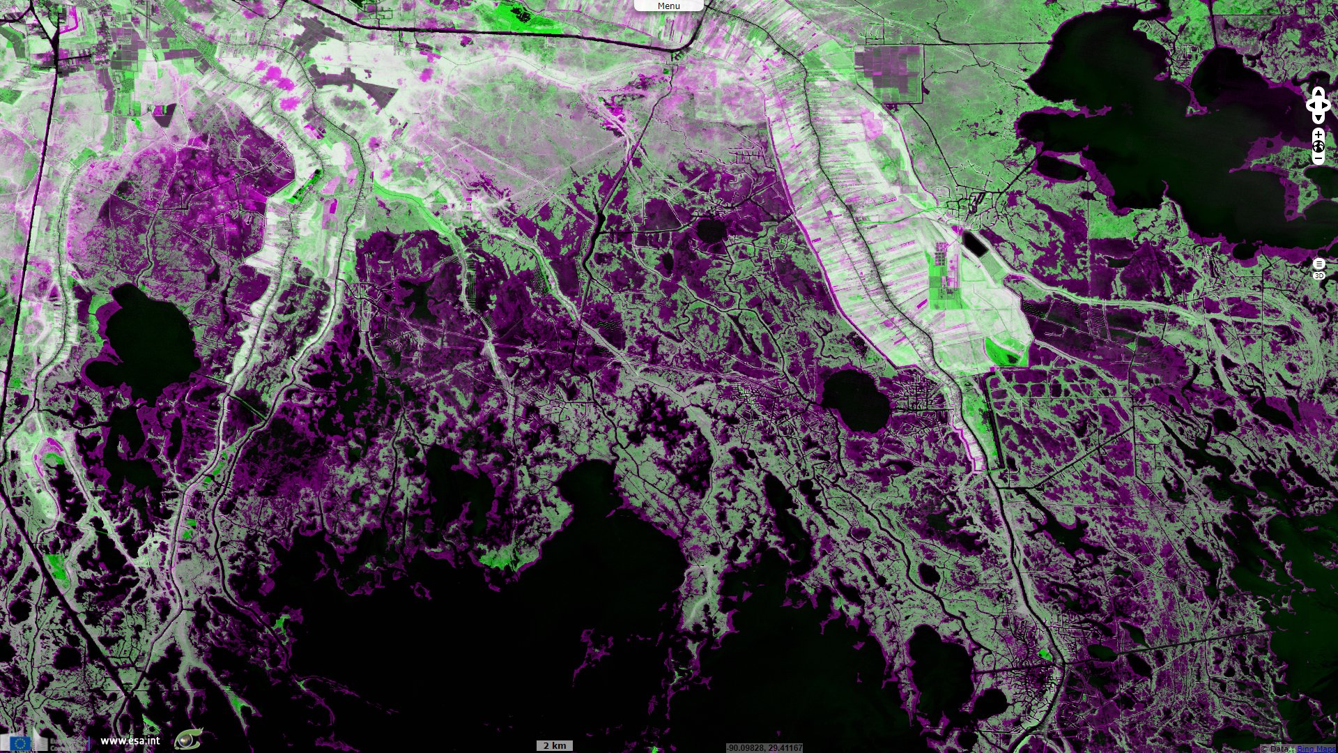
Bayou submersion in Louisiana, United States
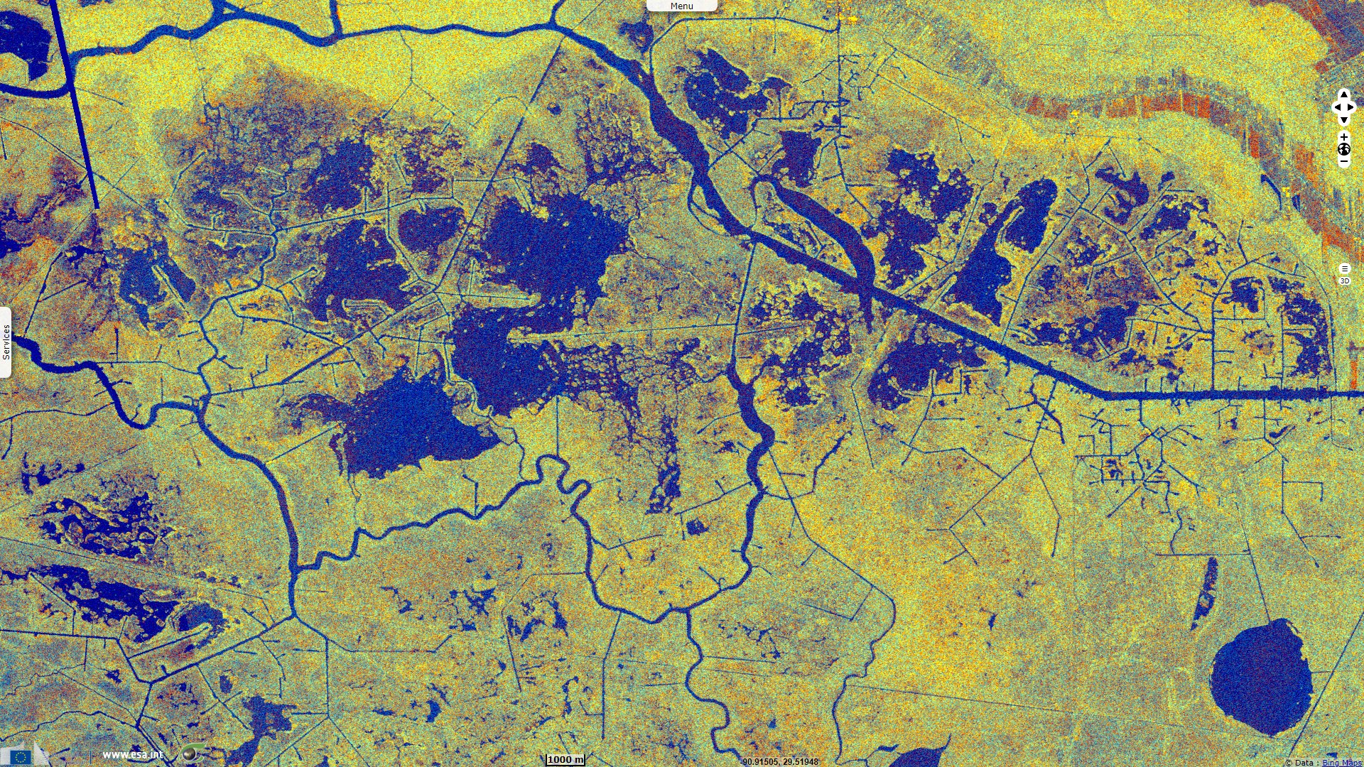
Sentinel-1 CSAR IW acquired on 15 March 2015 at 00:09:46 UTC
...
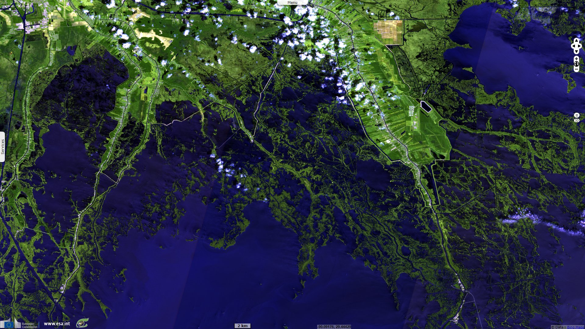
Sentinel-2 MSI acquired on 02 April 2021 at 16:28:29 UTC
Sentinel-2 MSI acquired on 05 April 2021 at 16:38:39 UTC
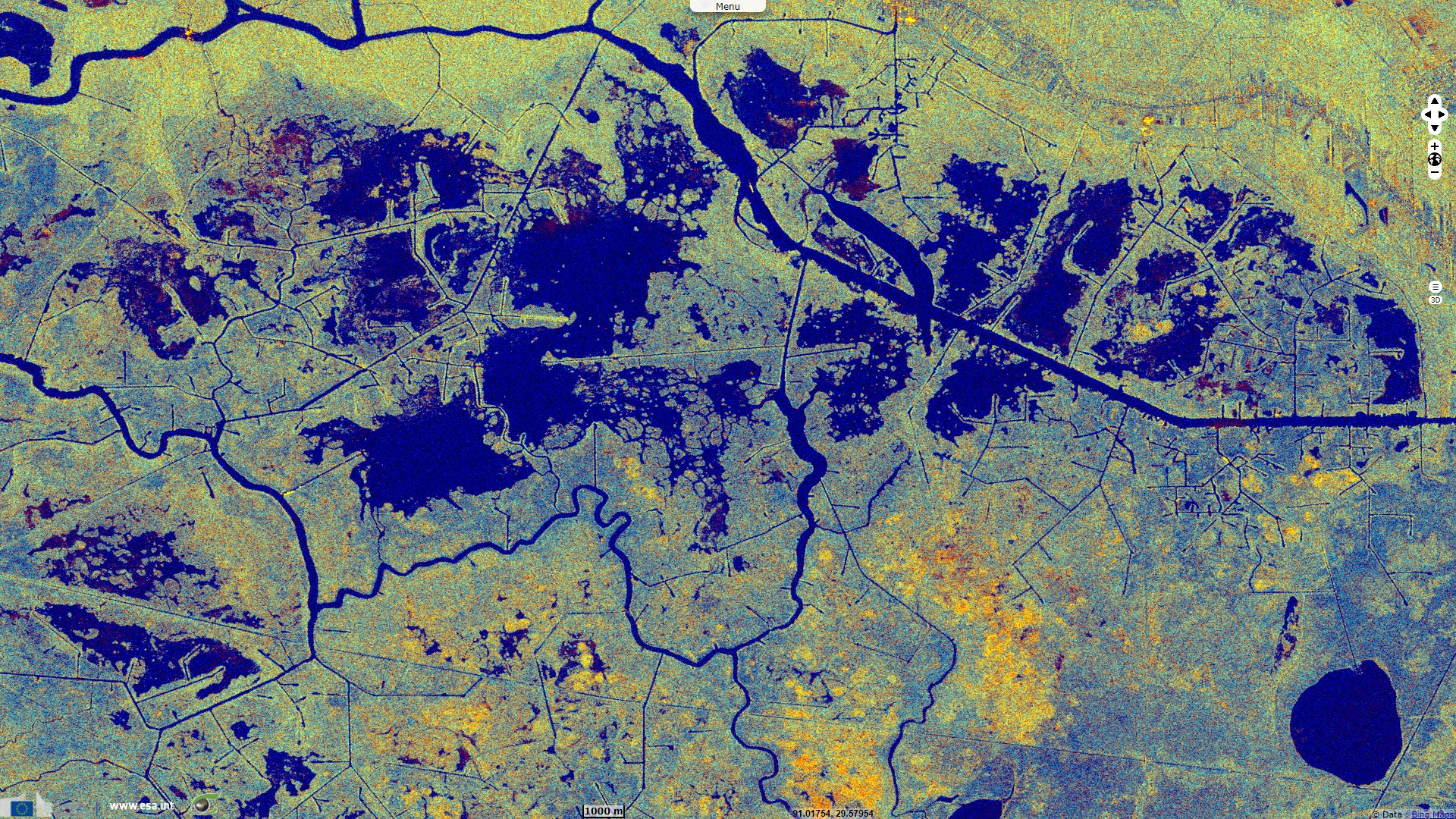
Sentinel-1 CSAR IW acquired on 12 July 2021 from 00:02:00 to 00:02:25 UTC
...
Sentinel-2 MSI acquired on 02 April 2021 at 16:28:29 UTC
Sentinel-2 MSI acquired on 05 April 2021 at 16:38:39 UTC
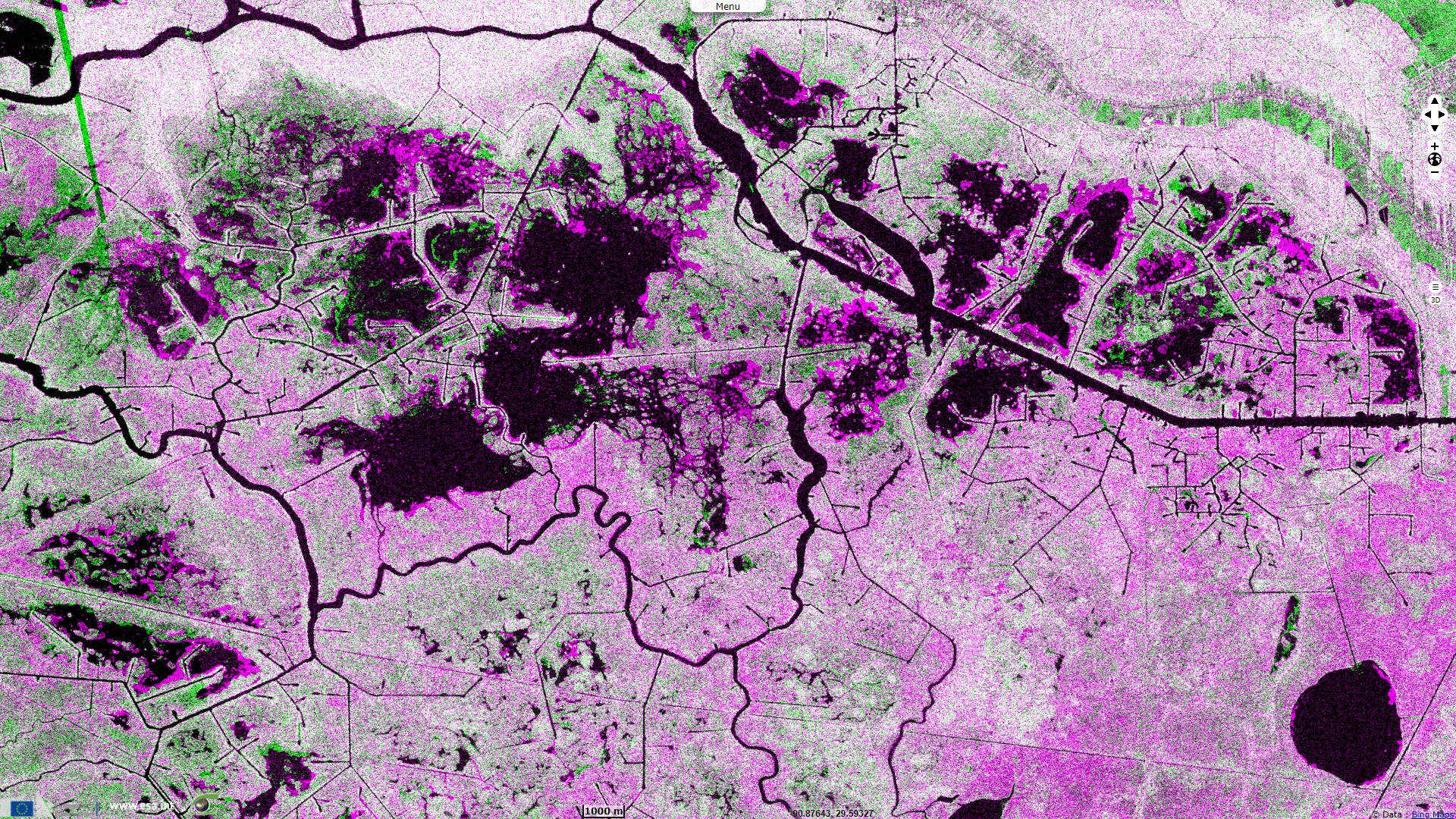
Sentinel-1 CSAR IW acquired on 12 July 2021 from 00:02:00 to 00:02:25 UTC
Keyword(s): Coastal, wetland, swamp, dam, infrastructure, urban planning, subsidence, erosion, sedimentation, alluvium, biodiversity, Mississippi delta, USA

The views expressed herein can in no way be taken to reflect the official opinion of the European Space Agency or the European Union.
Contains modified Copernicus Sentinel data 2026, processed by VisioTerra.
Contains modified Copernicus Sentinel data 2026, processed by VisioTerra.
| More on European Commission space: |  |
 |
 |
||||
| More on ESA: | |
|
|
S-1 website | S-2 website | S-3 website | |
| More on Copernicus program: | |
|
|
Scihub portal | Cophub portal | Inthub portal | Colhub portal |
| More on VisioTerra: | |
|
|
Sentinel Vision Portal | Envisat+ERS portal | Swarm+GOCE portal | CryoSat portal |