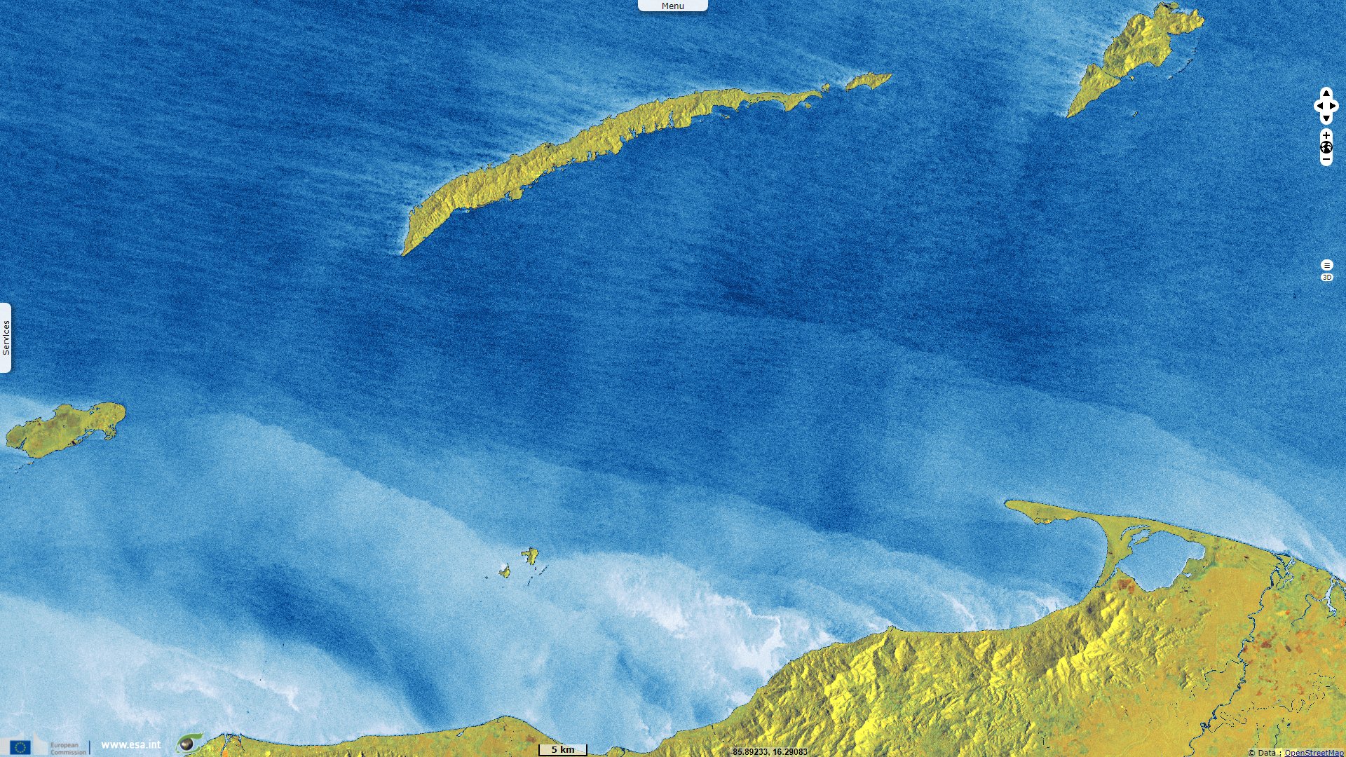
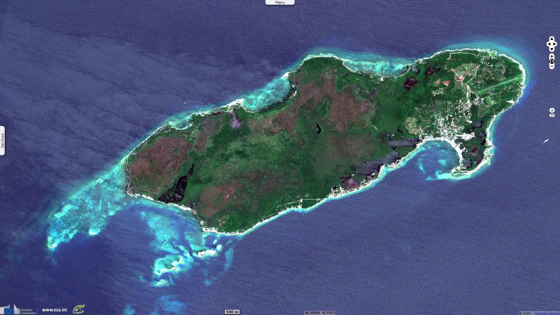
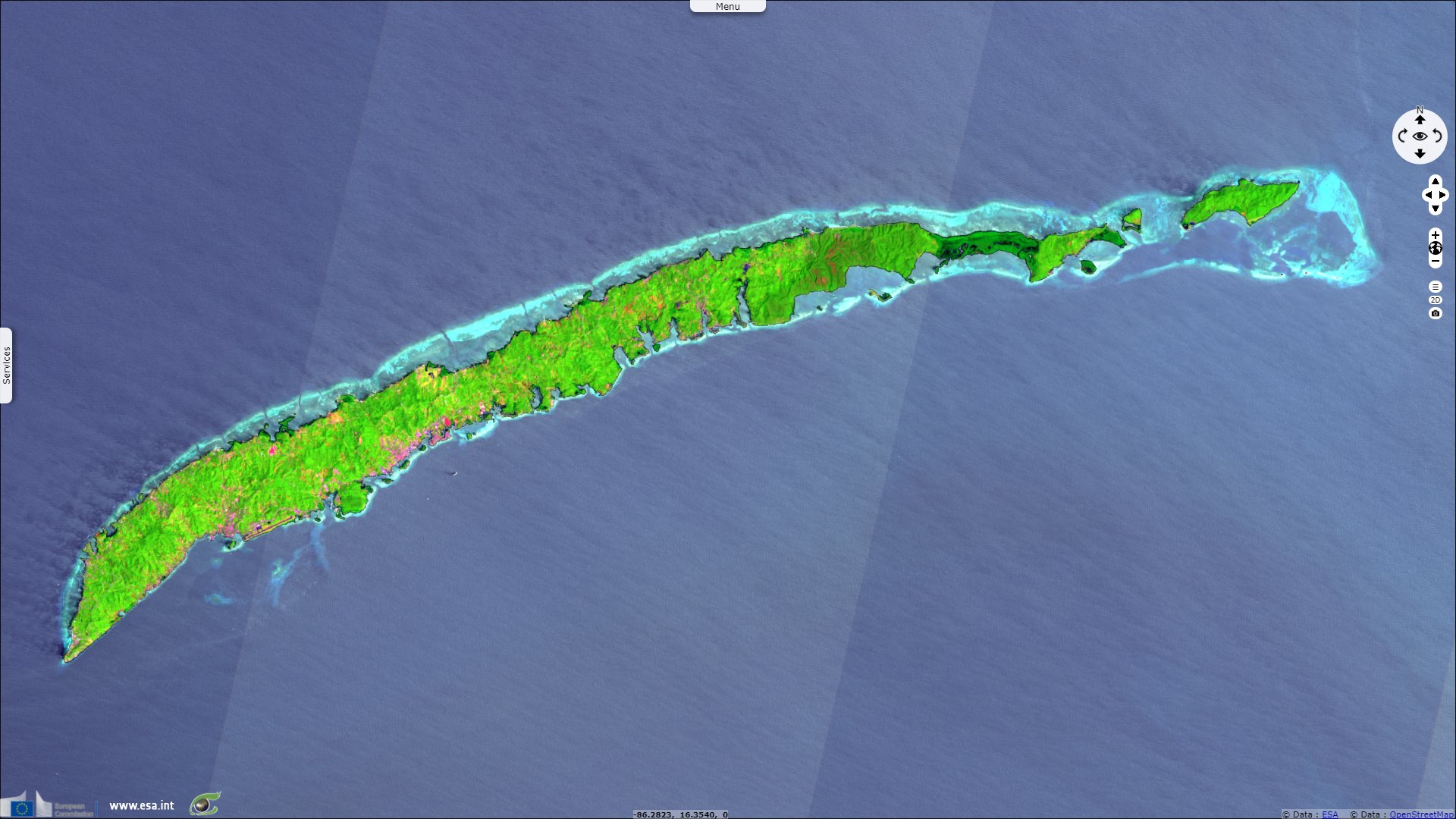
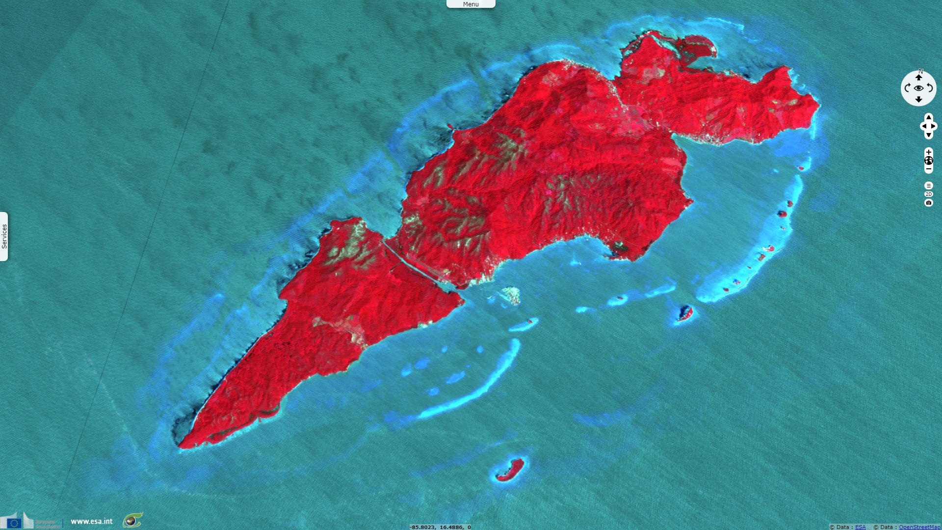
Islas de la Bahia, Honduras
Sentinel-1 CSAR IW acquired on 30 March 2021 at 11:37:25 UTC
Sentinel-1 CSAR IW acquired on 11 April 2021 at 11:37:26 UTC
Sentinel-1 CSAR IW acquired on 23 April 2021 at 11:37:26 UTC
Sentinel-2 MSI acquired on 22 March 2022 at 16:08:39 UTC
Sentinel-1 CSAR IW acquired on 11 April 2021 at 11:37:26 UTC
Sentinel-1 CSAR IW acquired on 23 April 2021 at 11:37:26 UTC
Sentinel-2 MSI acquired on 22 March 2022 at 16:08:39 UTC
Keyword(s): Archipelago, islands, water colour, coral reef, lagoon, mangrove, Honduras.
The views expressed herein can in no way be taken to reflect the official opinion of the European Space Agency or the European Union.
Contains modified Copernicus Sentinel data 2026, processed by VisioTerra.
Contains modified Copernicus Sentinel data 2026, processed by VisioTerra.
| More on European Commission space: |  |
 |
 |
||||
| More on ESA: | |
|
|
S-1 website | S-2 website | S-3 website | |
| More on Copernicus program: | |
|
|
Scihub portal | Cophub portal | Inthub portal | Colhub portal |
| More on VisioTerra: | |
|
|
Sentinel Vision Portal | Envisat+ERS portal | Swarm+GOCE portal | CryoSat portal |