Military coup after a decade of democracy in Myanmar
Sentinel-3 OLCI FR acquired on 01 February 2021 at 03:38:56 UTC
Sentinel-3 SLSTR RBT acquired on 01 February 2021 at 03:38:56 UTC
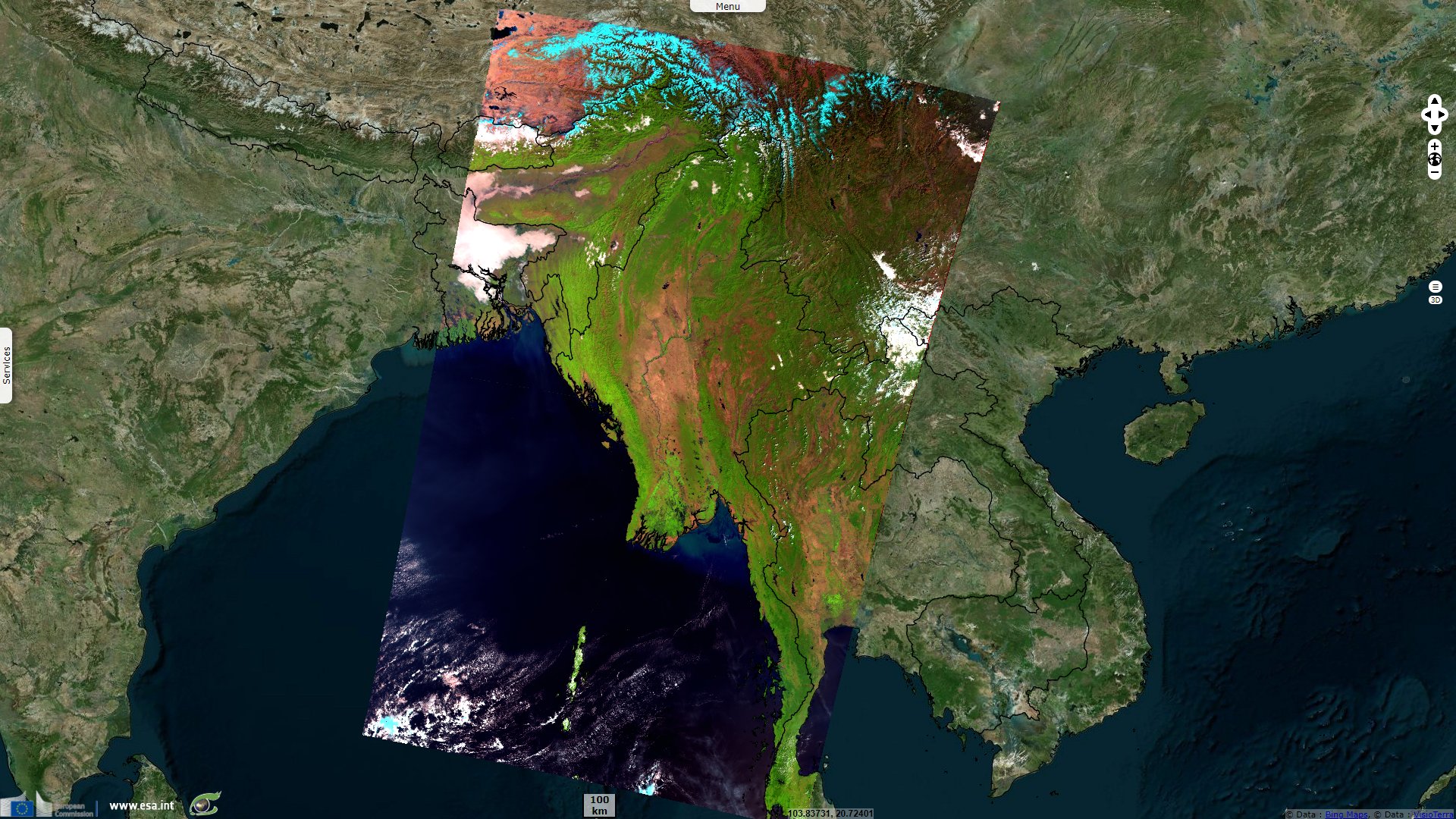
Sentinel-3 OLCI FR acquired on 01 February 2021 at 03:41:56 UTC
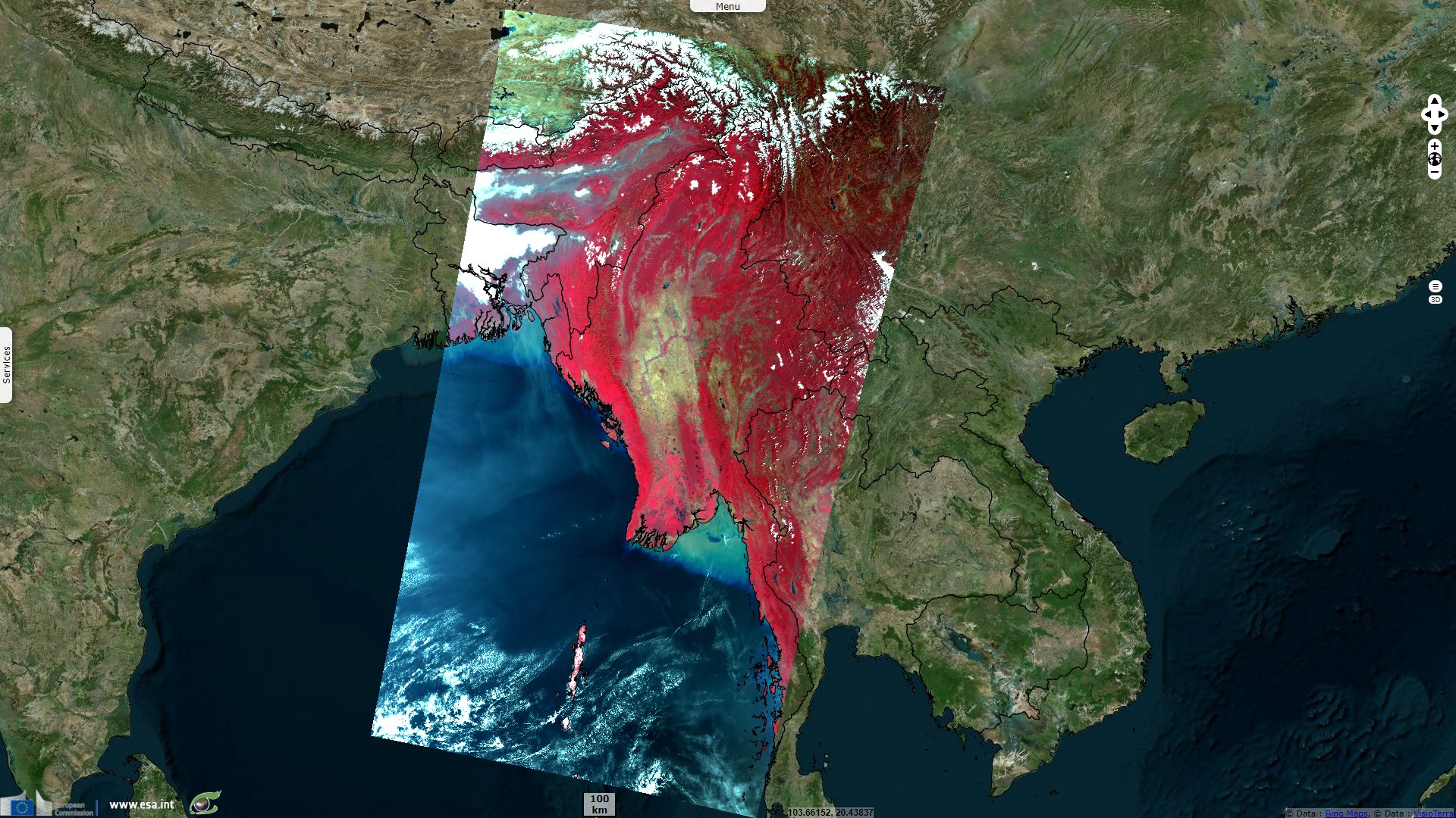
Sentinel-3 SLSTR RBT acquired on 01 February 2021 at 03:41:56 UTC
Keyword(s): Land, river, delta, mountain range, Myanmar, Burma
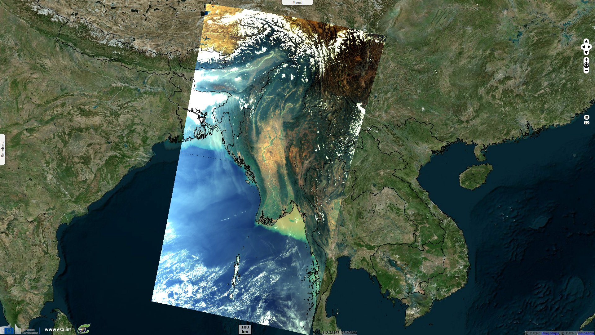
Irrawaddy River runs north-south through the Central Valley Region before emptying into the Andaman Sea through the Irrawaddy Delta.
At east, it is limited by Shan Hills, continued by the Tenasserim Hills along the Kra Isthmus.
The National League for Democracy led by Aung San Suu Kyi has won landslide victories in each election since. In 2020, it has won 82% of the elected seats.
The views expressed herein can in no way be taken to reflect the official opinion of the European Space Agency or the European Union.
Contains modified Copernicus Sentinel data 2026, processed by VisioTerra.
Contains modified Copernicus Sentinel data 2026, processed by VisioTerra.
| More on European Commission space: |  |
 |
 |
||||
| More on ESA: | |
|
|
S-1 website | S-2 website | S-3 website | |
| More on Copernicus program: | |
|
|
Scihub portal | Cophub portal | Inthub portal | Colhub portal |
| More on VisioTerra: | |
|
|
Sentinel Vision Portal | Envisat+ERS portal | Swarm+GOCE portal | CryoSat portal |