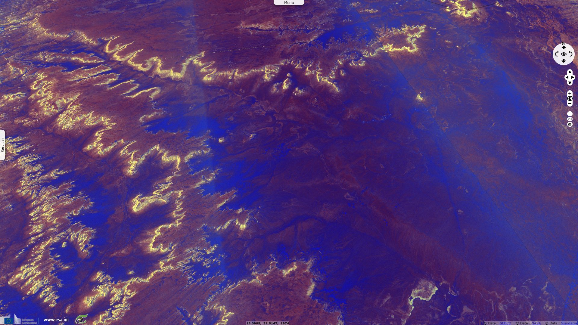
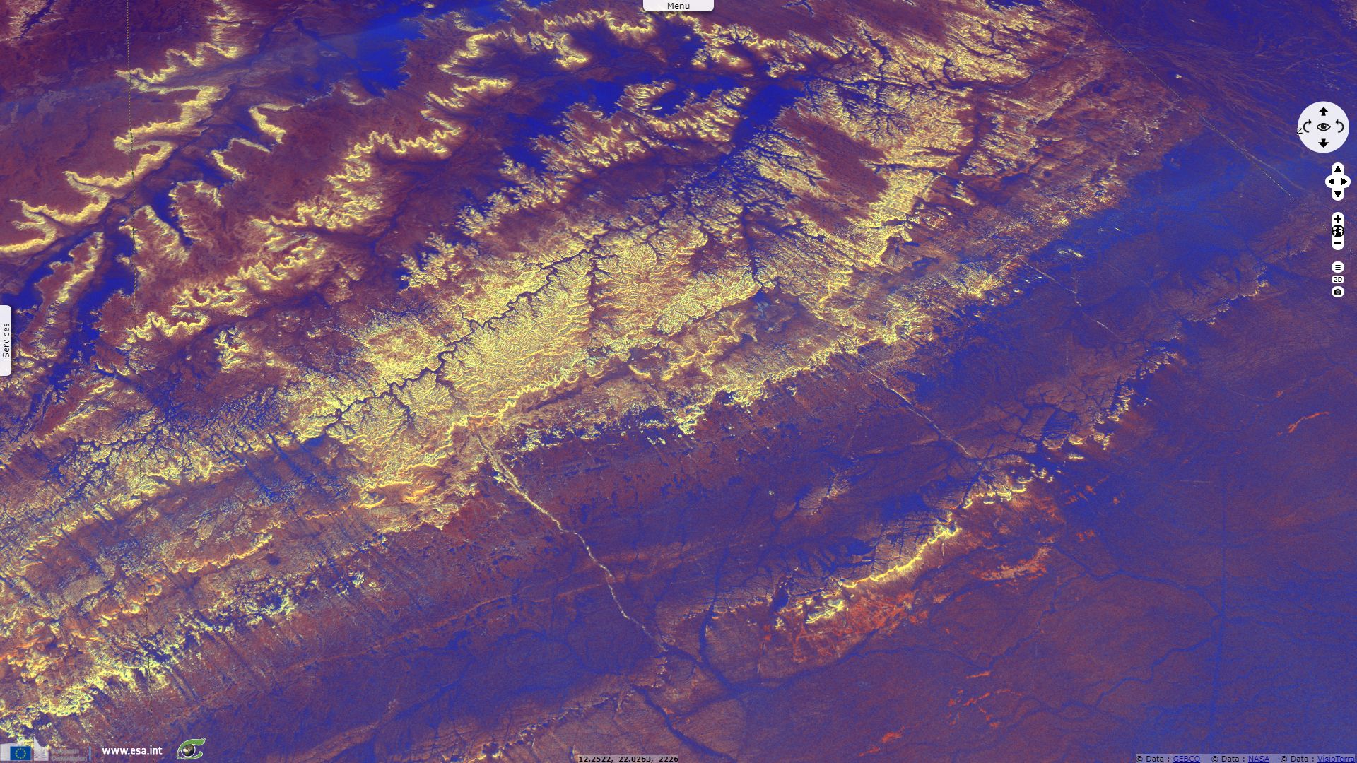
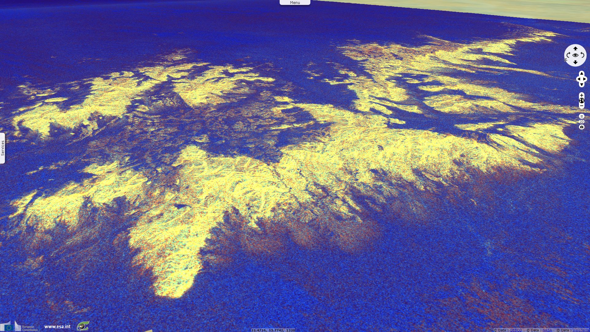
Ancient drainage systems in Niger
Sentinel-1 CSAR IW acquired on 01 December 2017 from 17:07:48 to 17:08:38 UTC
Sentinel-1 CSAR IW acquired on 04 December 2017 from 17:31:57 to 17:32:22 UTC
...
Sentinel-1 CSAR IW acquired on 11 December 2017 at 17:23:11 UTC
Sentinel-1 CSAR IW acquired on 04 December 2017 from 17:31:57 to 17:32:22 UTC
...
Sentinel-1 CSAR IW acquired on 11 December 2017 at 17:23:11 UTC
Keyword(s): Land, hydrology, mountains, drainage system, erosion, erg, desert, Sahara, Sahel, Tenere, Niger
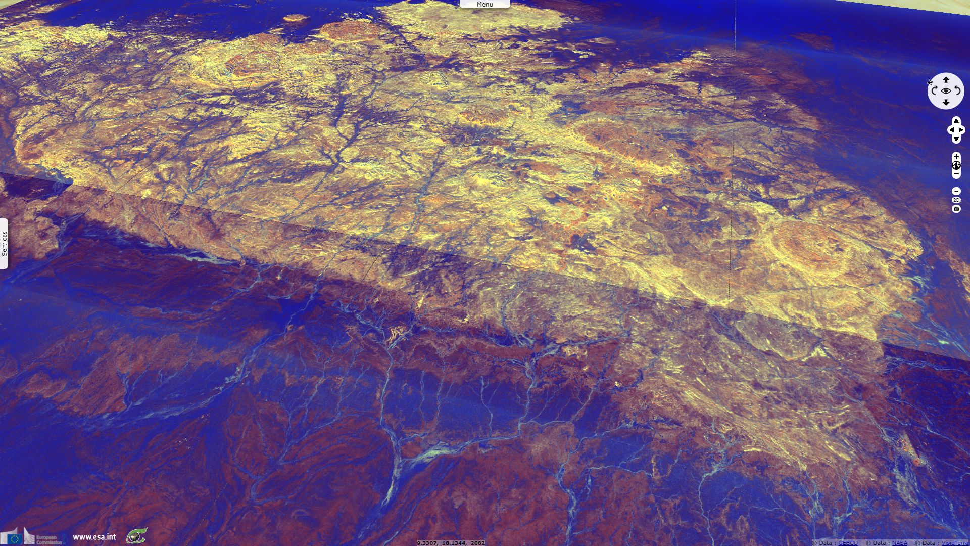
Niger became an independent republic the 15.12.1958. This story highlights its valleys & wadis now partly buried by ergs, clues of a greener past.
The views expressed herein can in no way be taken to reflect the official opinion of the European Space Agency or the European Union.
Contains modified Copernicus Sentinel data 2026, processed by VisioTerra.
Contains modified Copernicus Sentinel data 2026, processed by VisioTerra.
| More on European Commission space: |  |
 |
 |
||||
| More on ESA: | |
|
|
S-1 website | S-2 website | S-3 website | |
| More on Copernicus program: | |
|
|
Scihub portal | Cophub portal | Inthub portal | Colhub portal |
| More on VisioTerra: | |
|
|
Sentinel Vision Portal | Envisat+ERS portal | Swarm+GOCE portal | CryoSat portal |