Canyons of the Upper Missouri river basin
Sentinel-3 OLCI FR acquired on 27 June 2016 at 17:56:38 UTC
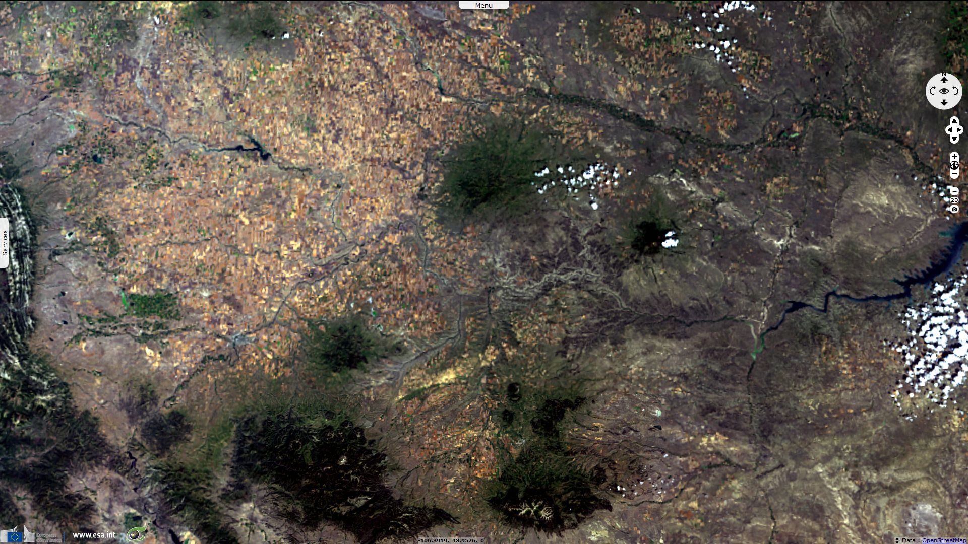
Sentinel-3 OLCI FR acquired on 24 July 2016 at 17:56:38 UTC
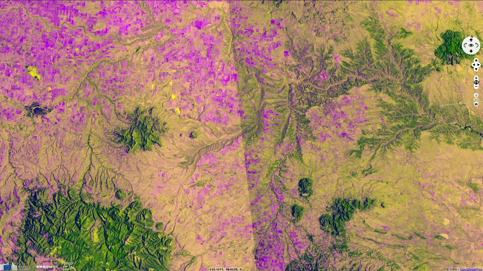
Sentinel-1 CSAR IW acquired on 21 April 2018 from 01:11:55 to 01:12:20 UTC
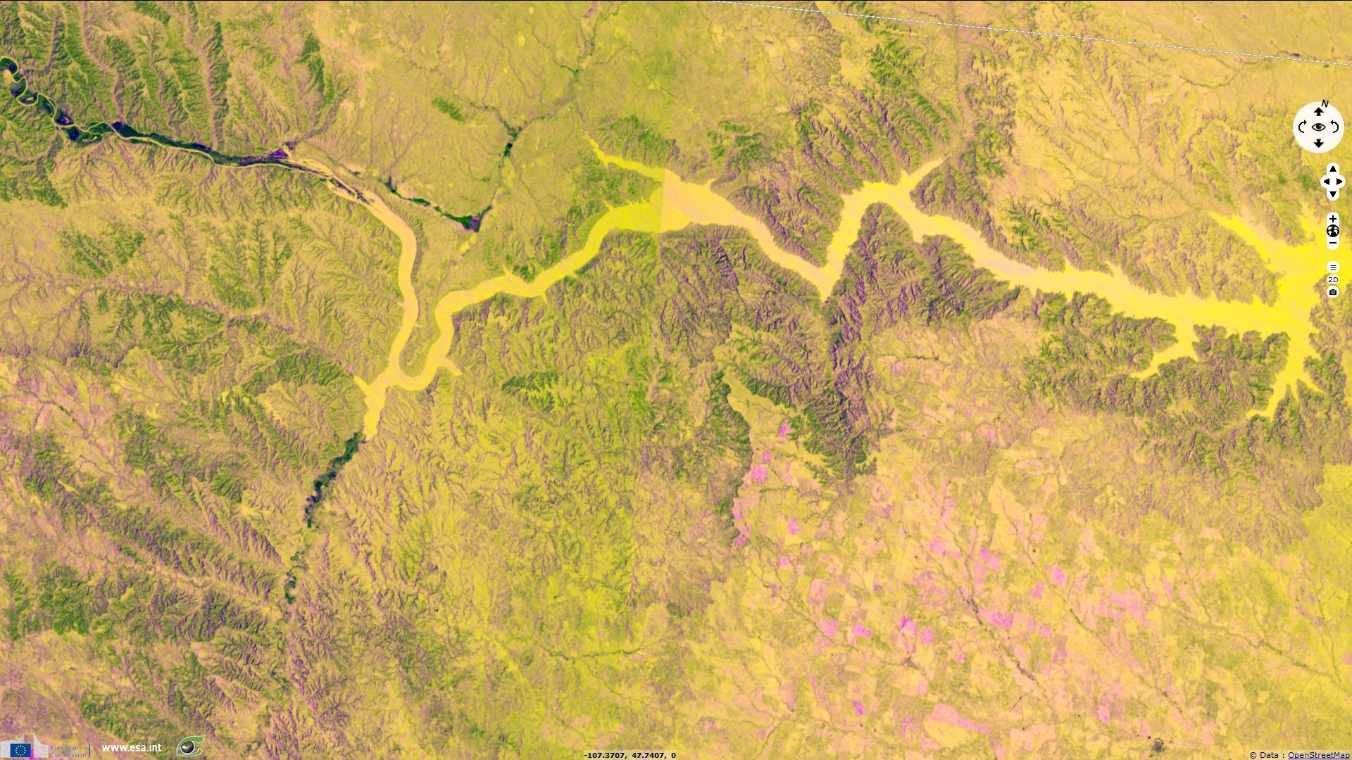
Sentinel-1 CSAR IW acquired on 28 April 2018 from 01:03:32 to 01:03:57 UTC
Sentinel-3 OLCI FR acquired on 24 July 2016 at 17:56:38 UTC
Sentinel-1 CSAR IW acquired on 21 April 2018 from 01:11:55 to 01:12:20 UTC
Sentinel-1 CSAR IW acquired on 28 April 2018 from 01:03:32 to 01:03:57 UTC
Keyword(s): Hydrology, land, river, badland, plateau, erosion, canyon, cliff, Montana, USA, United States, Alberta, Canada
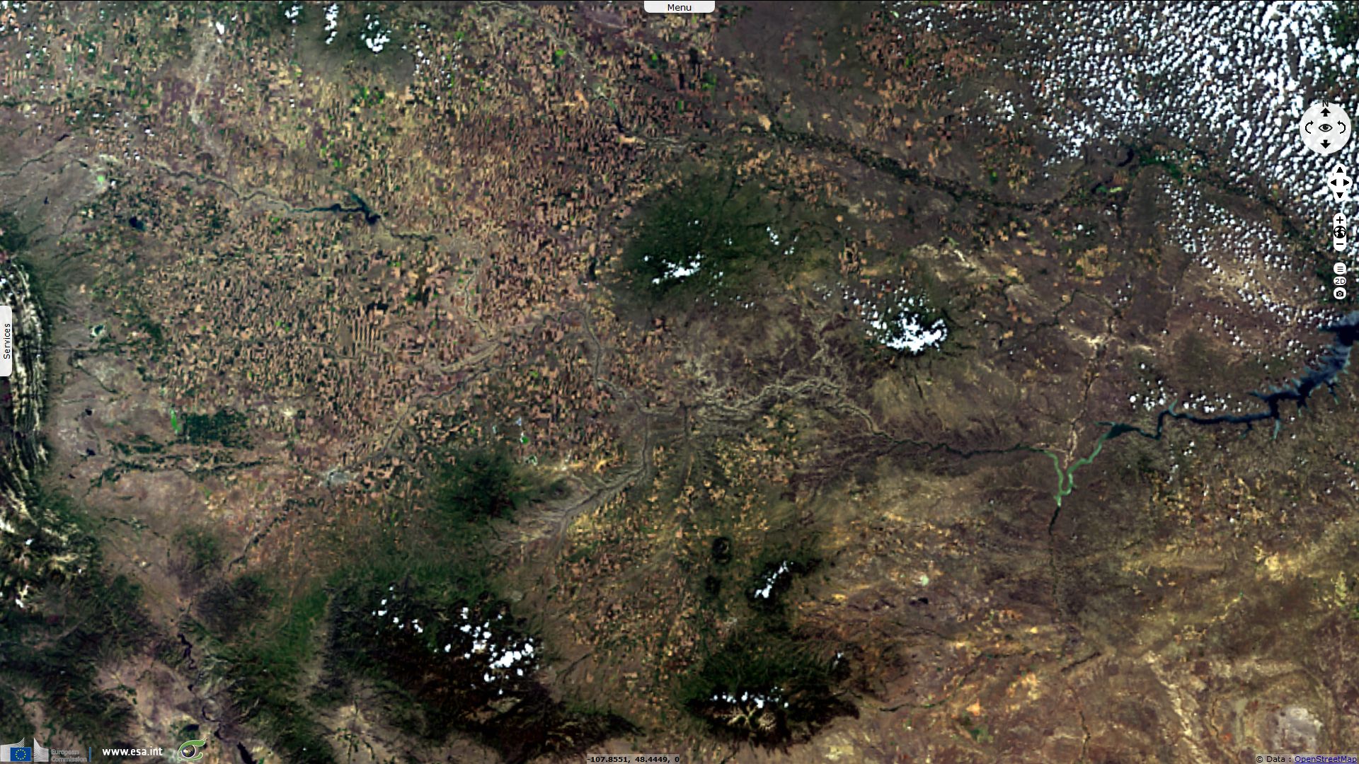
This story showcases the canyons of the Upper Missouri River Breaks National Monument. Missouri flows 3800km before reaching Gulf of Mexico.
The views expressed herein can in no way be taken to reflect the official opinion of the European Space Agency or the European Union.
Contains modified Copernicus Sentinel data 2026, processed by VisioTerra.
Contains modified Copernicus Sentinel data 2026, processed by VisioTerra.
| More on European Commission space: |  |
 |
 |
||||
| More on ESA: | |
|
|
S-1 website | S-2 website | S-3 website | |
| More on Copernicus program: | |
|
|
Scihub portal | Cophub portal | Inthub portal | Colhub portal |
| More on VisioTerra: | |
|
|
Sentinel Vision Portal | Envisat+ERS portal | Swarm+GOCE portal | CryoSat portal |