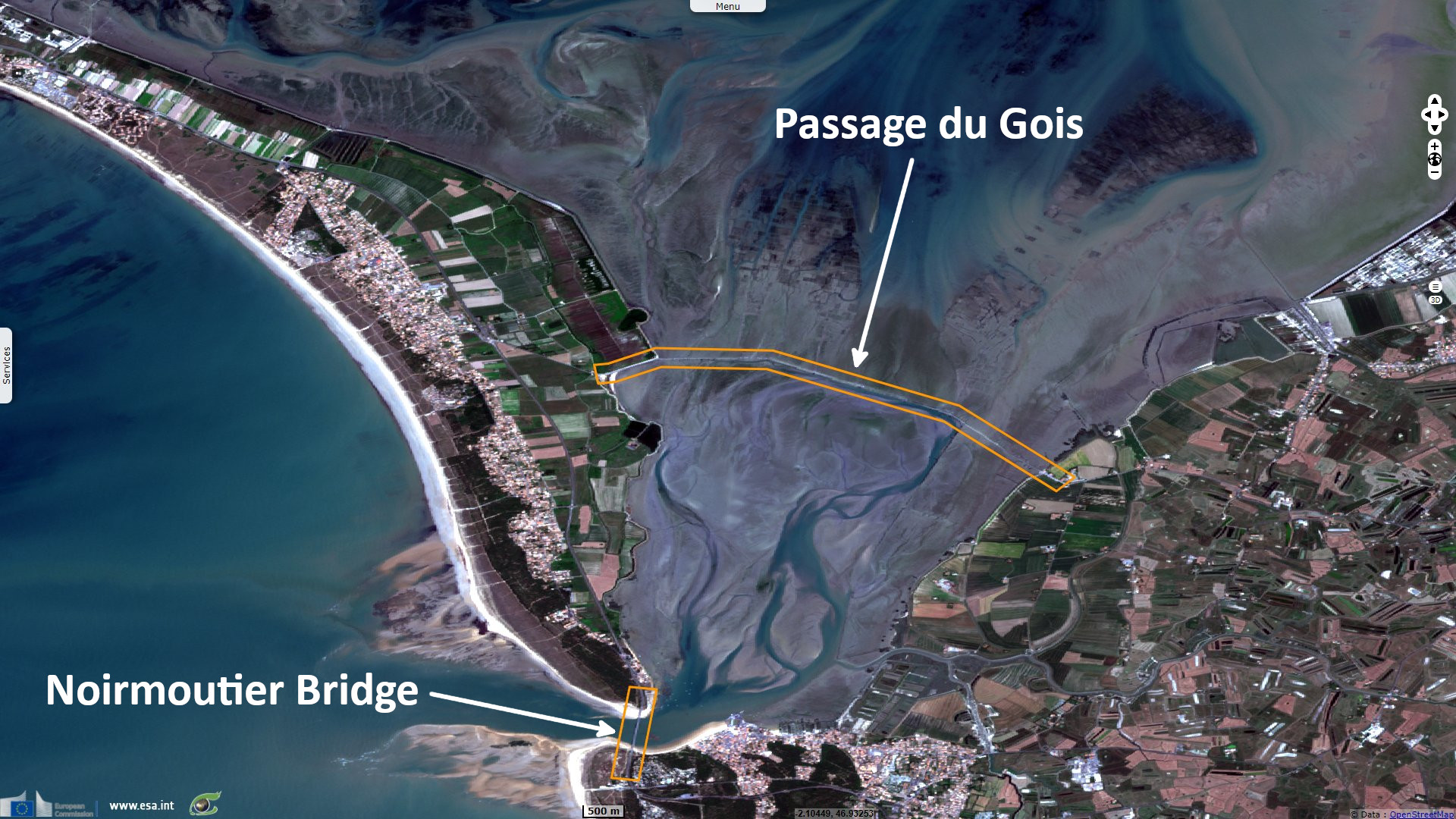
Tidal change at Passage du Gois, Noirmoutiers, France
Sentinel-2 MSI acquired on 05 August 2018 at 11:06:21 UTC
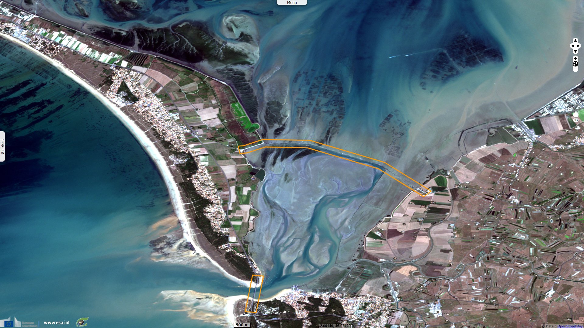
Sentinel-2 MSI acquired on 12 June 2021 at 10:56:19 UTC
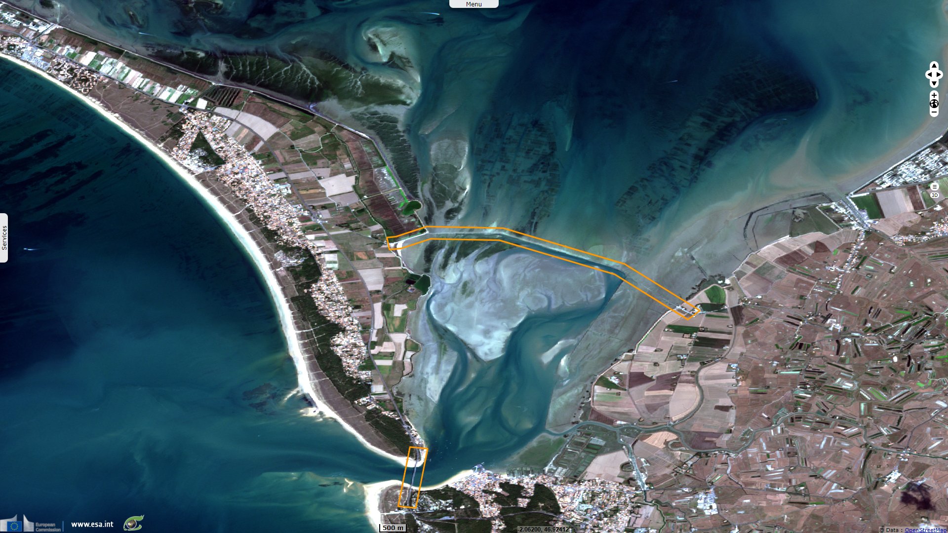
Sentinel-2 MSI acquired on 26 August 2021 at 10:56:21 UTC
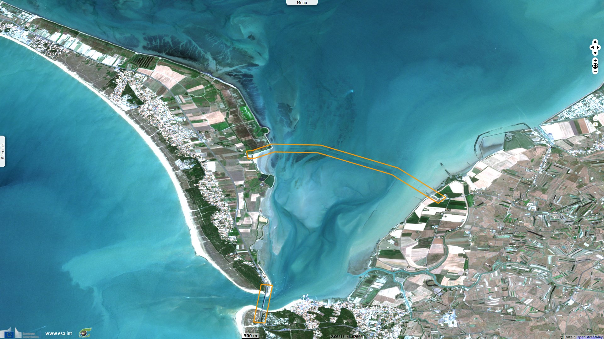
Sentinel-2 MSI acquired on 05 September 2021 at 10:56:21 UTC
Sentinel-2 MSI acquired on 12 June 2021 at 10:56:19 UTC
Sentinel-2 MSI acquired on 26 August 2021 at 10:56:21 UTC
Sentinel-2 MSI acquired on 05 September 2021 at 10:56:21 UTC
Keyword(s): Coastal, water colour, tide, island, road infrastructure, bridge, beach, mudflats, fish-farming, France, Atlantic Ocean
The views expressed herein can in no way be taken to reflect the official opinion of the European Space Agency or the European Union.
Contains modified Copernicus Sentinel data 2026, processed by VisioTerra.
Contains modified Copernicus Sentinel data 2026, processed by VisioTerra.
| More on European Commission space: |  |
 |
 |
||||
| More on ESA: | |
|
|
S-1 website | S-2 website | S-3 website | |
| More on Copernicus program: | |
|
|
Scihub portal | Cophub portal | Inthub portal | Colhub portal |
| More on VisioTerra: | |
|
|
Sentinel Vision Portal | Envisat+ERS portal | Swarm+GOCE portal | CryoSat portal |