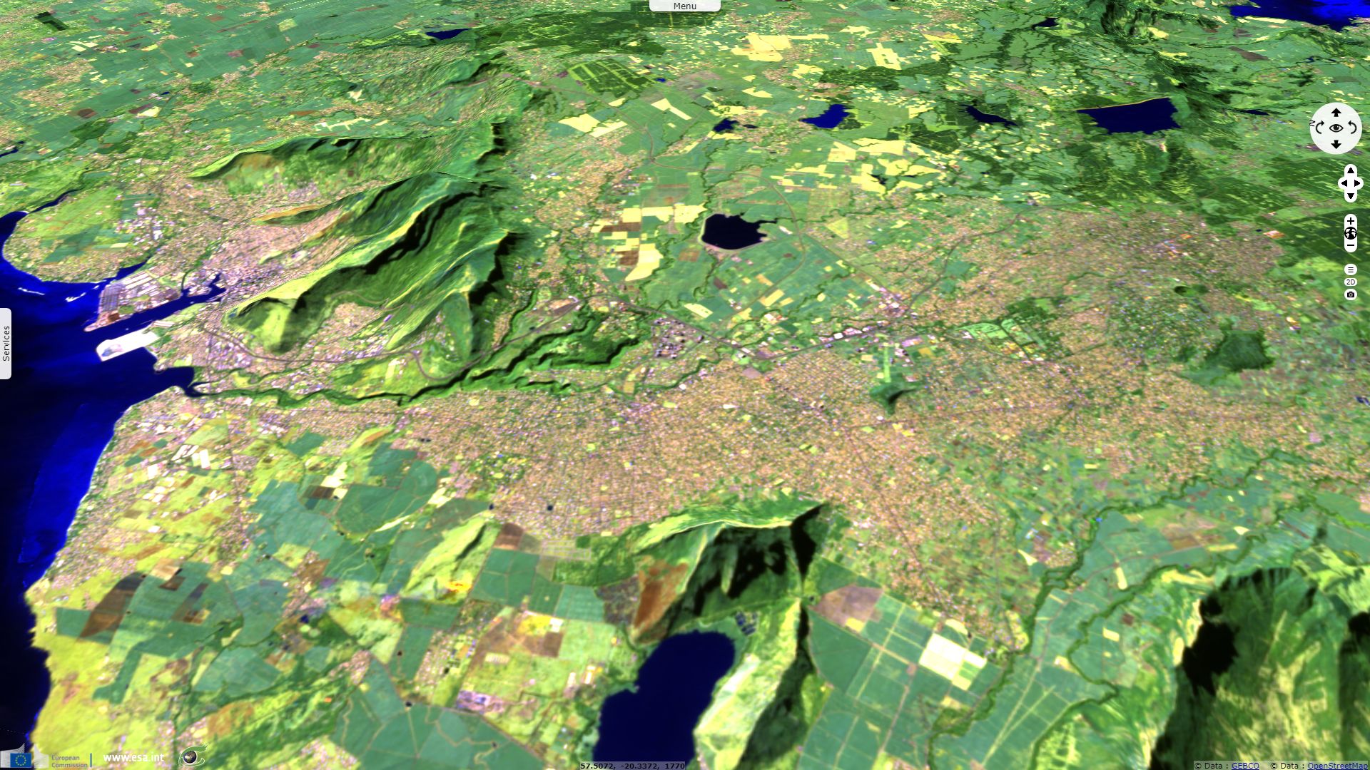
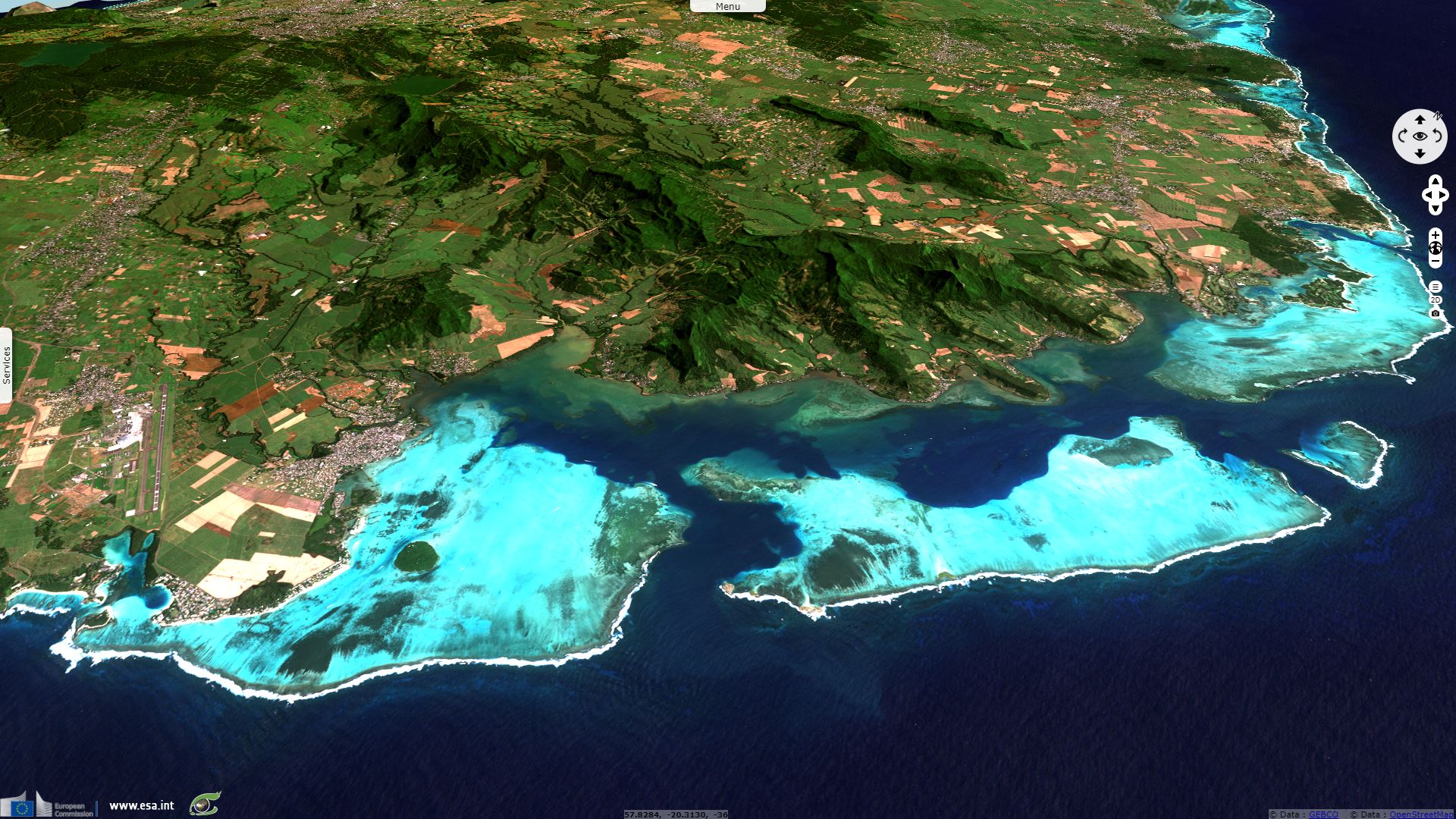
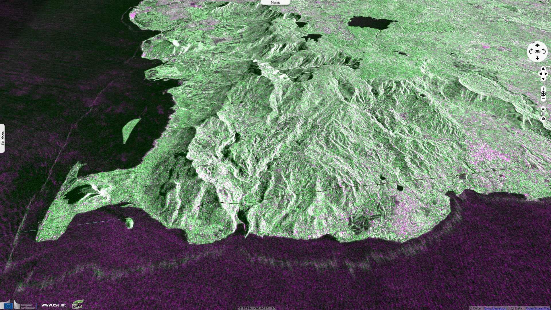
Spotlight on Mauritius for the 50th year of its independence
Sentinel-1 CSAR IW acquired on 09 July 2017 from 01:37:33 to 01:37:58 UTC
Sentinel-2 MSI acquired on 18 July 2017 at 06:24:51 UTC
Sentinel-2 MSI acquired on 18 July 2017 at 06:24:51 UTC
Keyword(s): land, water colour, coastal, reef, island, urban, volcanoes, agriculture, rivers, Ramsar wetland
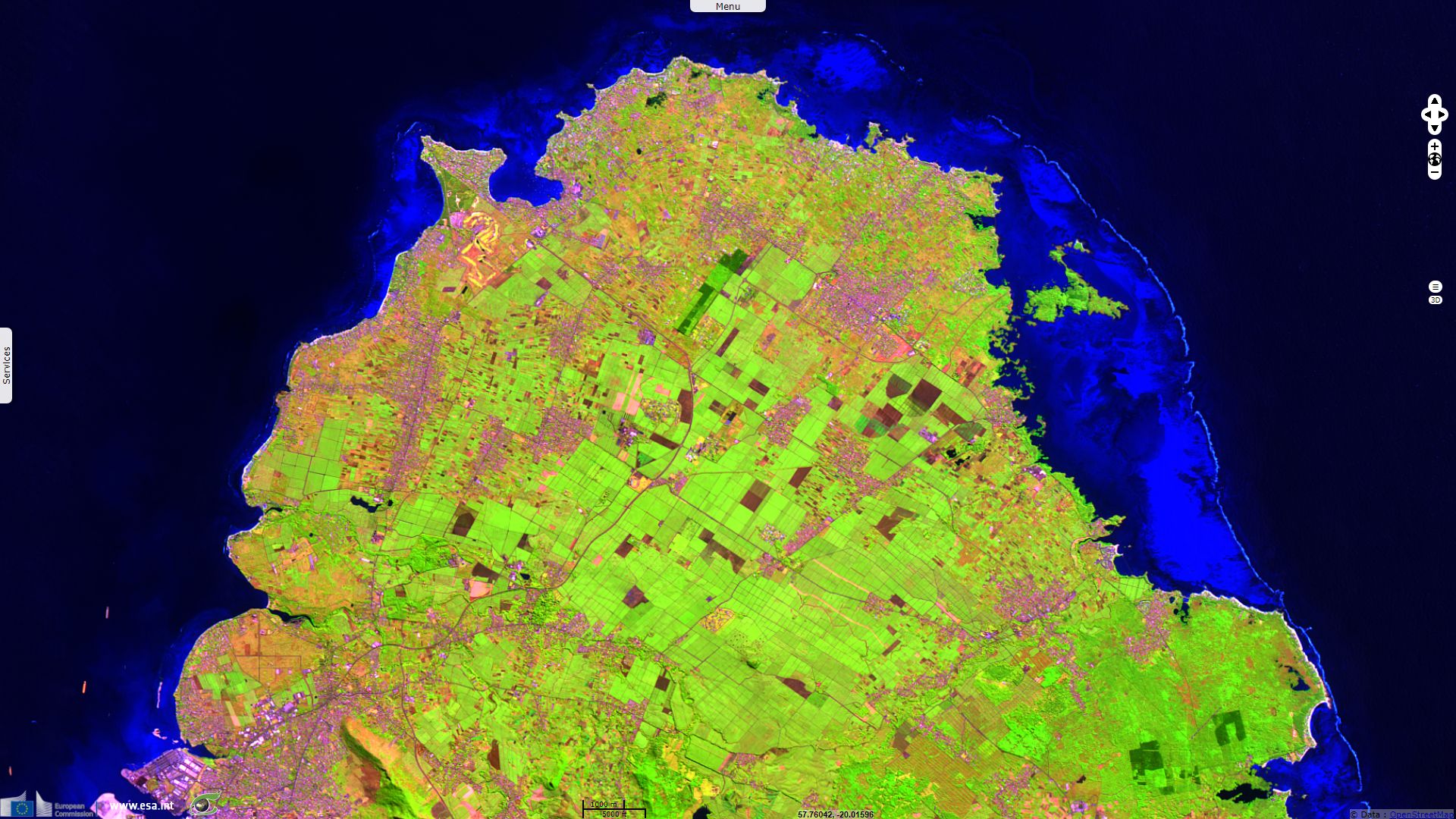
This story showcases Mauritius which obtained its independence the 12.03.1968 and became a Republic the 12.03.1992.
The views expressed herein can in no way be taken to reflect the official opinion of the European Space Agency or the European Union.
Contains modified Copernicus Sentinel data 2026, processed by VisioTerra.
Contains modified Copernicus Sentinel data 2026, processed by VisioTerra.
| More on European Commission space: |  |
 |
 |
||||
| More on ESA: | |
|
|
S-1 website | S-2 website | S-3 website | |
| More on Copernicus program: | |
|
|
Scihub portal | Cophub portal | Inthub portal | Colhub portal |
| More on VisioTerra: | |
|
|
Sentinel Vision Portal | Envisat+ERS portal | Swarm+GOCE portal | CryoSat portal |