Cold snap in Mediterranean Europe, heat wave in Arctic
Sentinel-1 CSAR EW acquired from 23 February 2015 to 03 March 2015
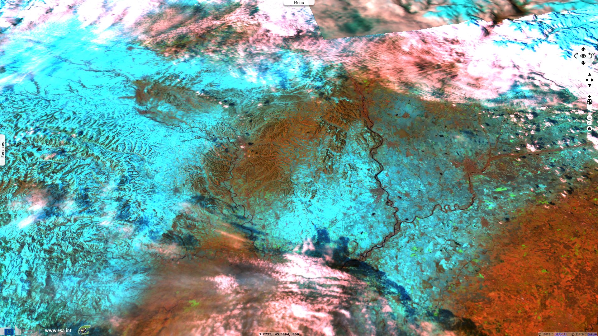
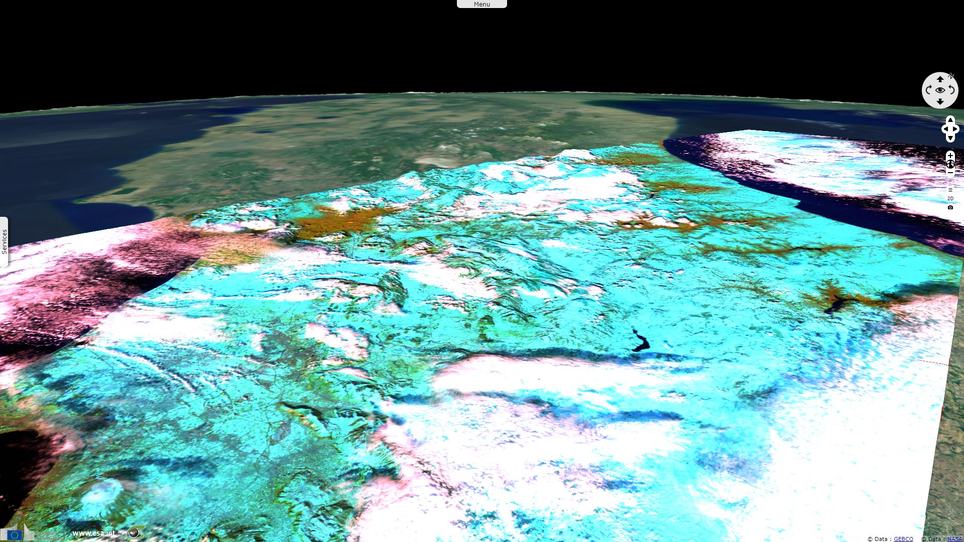
Sentinel-1 CSAR EW acquired from 25 February 2018 to 27 February 2018
Sentinel-3 SLSTR RBT acquired on 26 February 2018 at 09:42:57 UTC
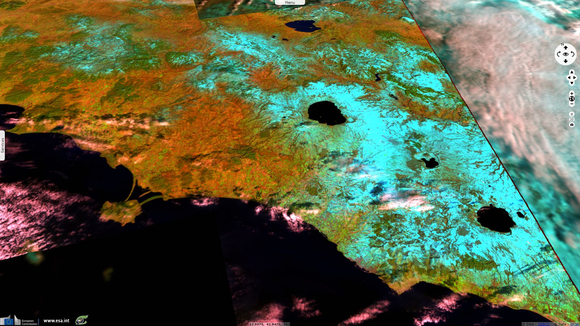
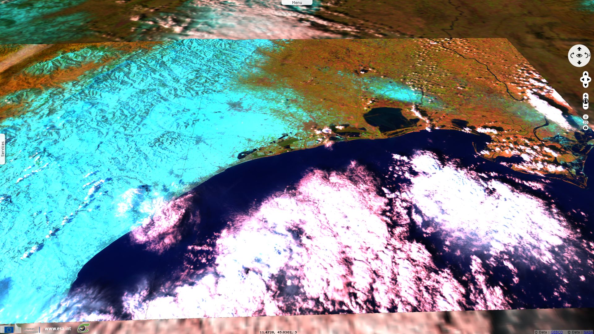
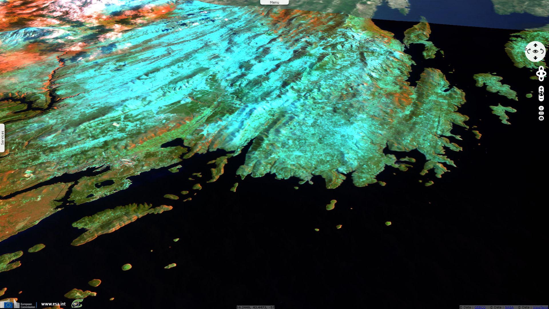
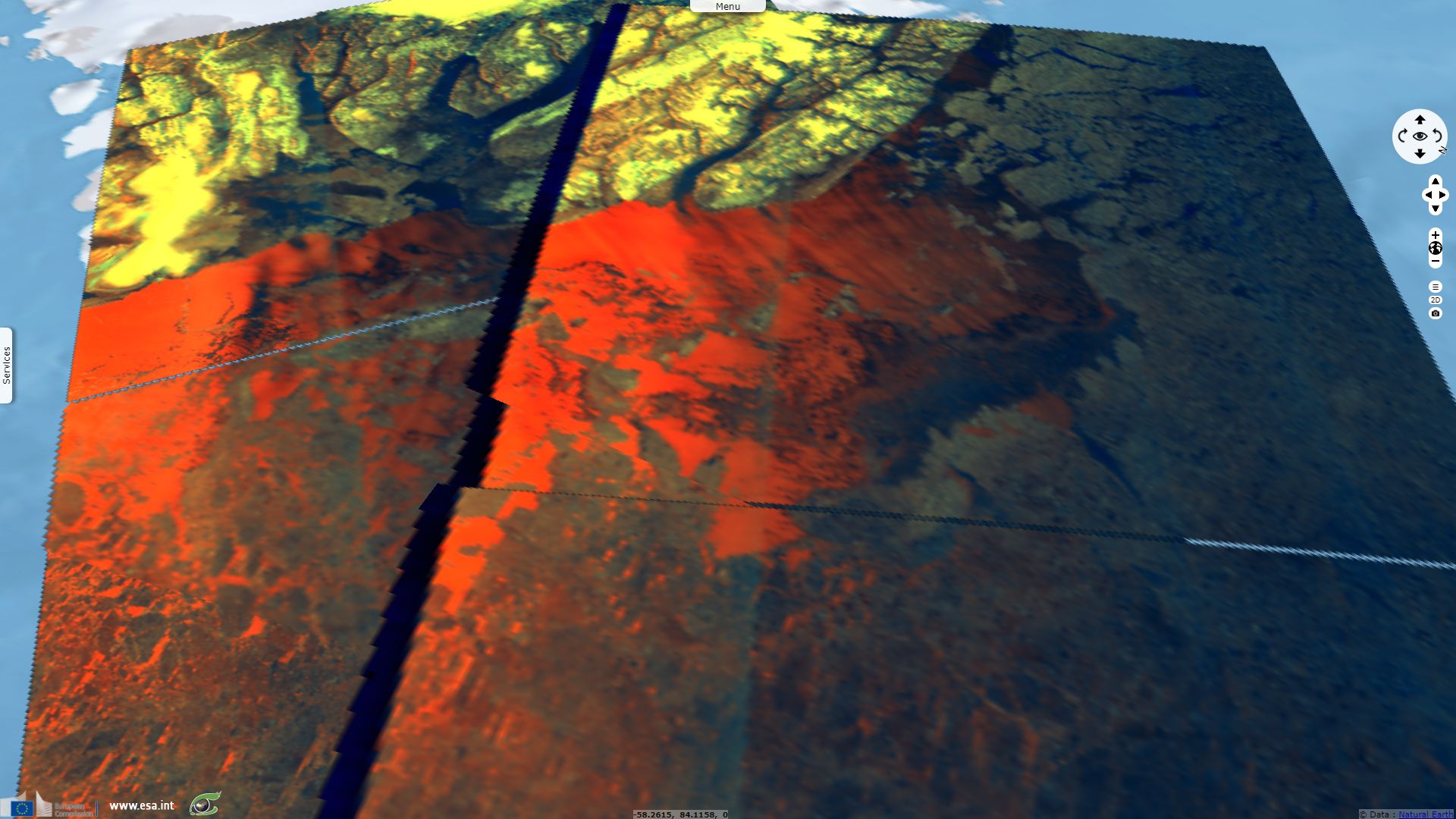
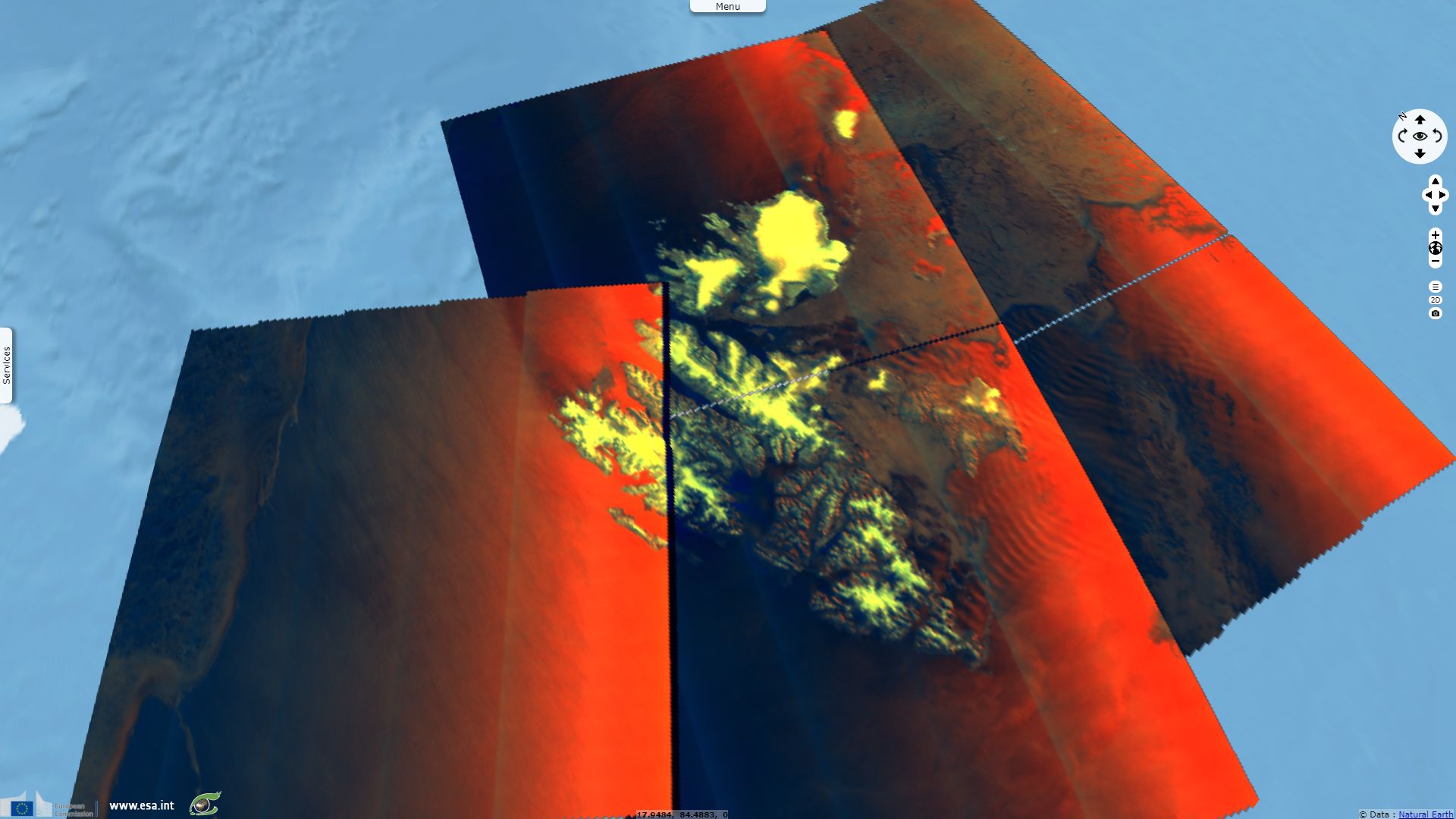
Sentinel-2 MSI acquired from 26 February 2018 to 28 February 2018
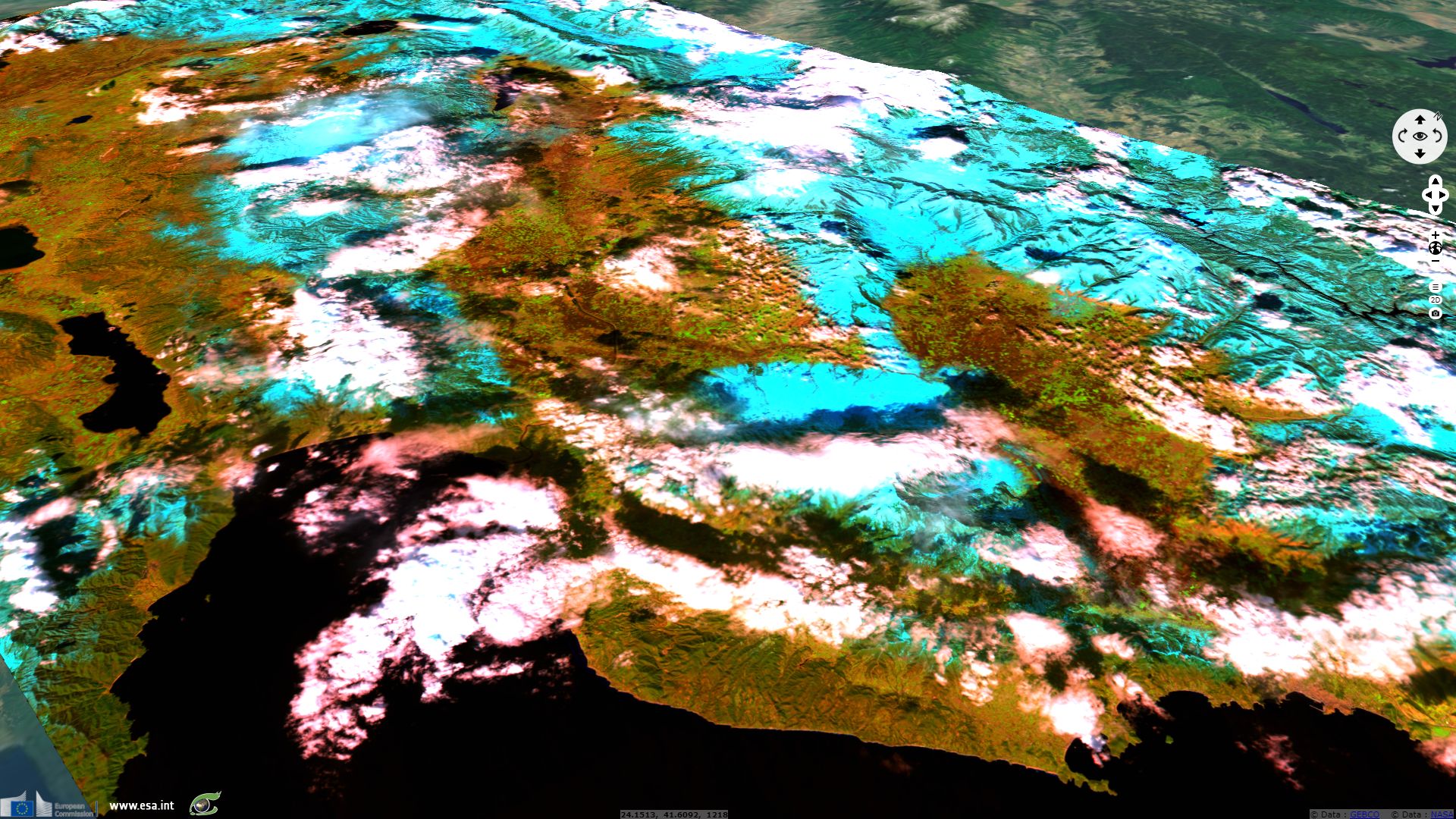
Sentinel-1 CSAR EW acquired from 25 February 2018 to 27 February 2018
Sentinel-3 SLSTR RBT acquired on 26 February 2018 at 09:42:57 UTC
Sentinel-2 MSI acquired from 26 February 2018 to 28 February 2018
Keyword(s): Climate change, polar, cryosphere, sea ice, snow, Mediterranean Sea, Arctic Ocean, Italy, Croatia, Greece
The recent cold snap over Europe caused snowfalls much more important than usual in some areas, especially in Central Europe or in United Kingdom and Ireland. Using Earth Observation images, it is however more impressive to show the unusual change in land cover than happened in some parts of Mediterranean Europe as snow coated even some plain regions.
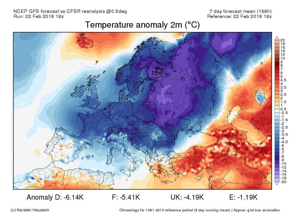
Air temprature anoly over Europe on 22.02.2018 - source: Etienne Kapikian from Météo-France
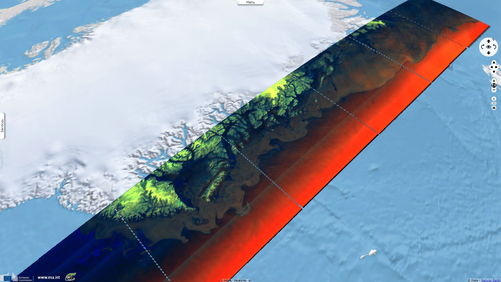
Even more impressive was the heat wave that occurred in the Arctic at the same time, due to the wintertime Arctic Oscillation (AO) / North Atlantic Oscillation (NAO). Temperatures reached +6°C instead of -15°C/-25°C at that time of the year in Northern Greenland, possibly a +30°C positive anomaly ! Open water testimonies of this positive temperatures.
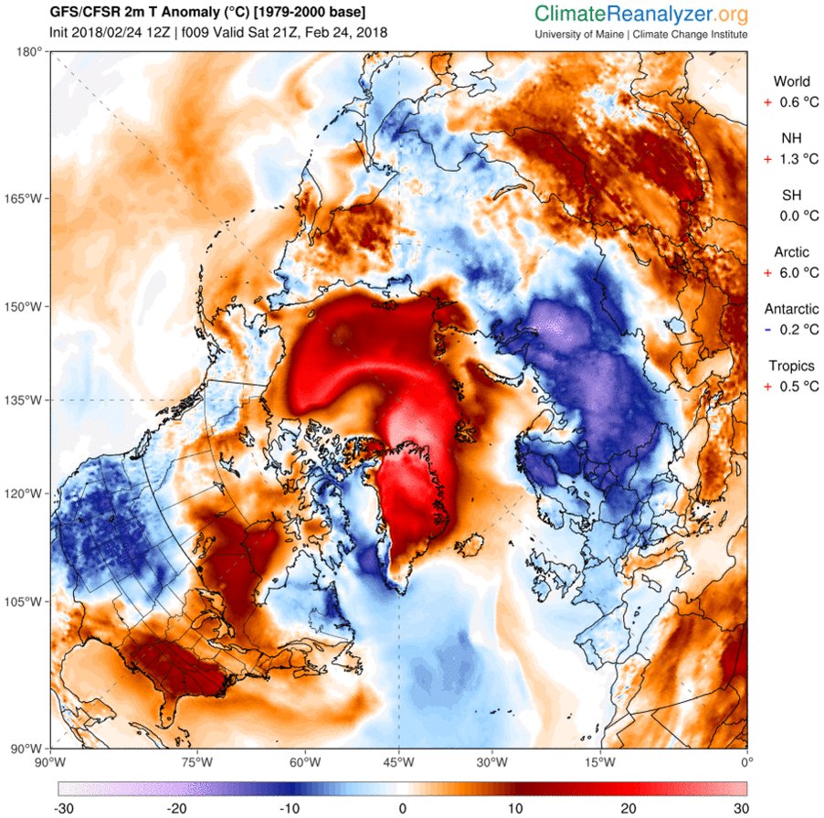
Air temperature anomaly over the Northern Hemisphere - source: Etienne Kapikian from Météo-France

Air temperature & sea-ice cover in Kap Morris Jesup, Northern Greeland - source: Lars Kaleschke, Professor for sea ice remote sensing at the University of Hamburg
Looking back at the whole winter season, 2018 may be the second lowest annual max Arctic sea ice extent after 2017 according to JAXA's AMSR2 data.
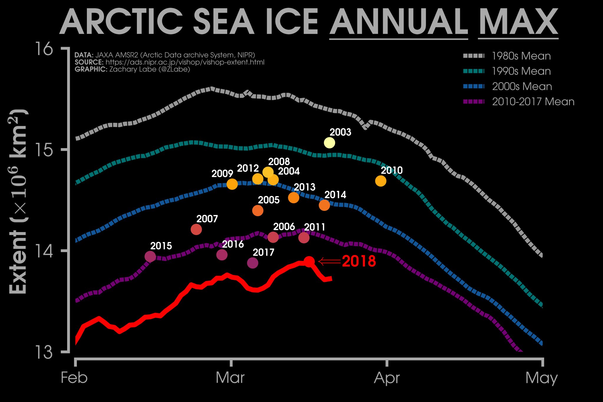
Arctic sea ice annual maximum extent - source: Zack Labe from Cornell University
The views expressed herein can in no way be taken to reflect the official opinion of the European Space Agency or the European Union.
Contains modified Copernicus Sentinel data 2026, processed by VisioTerra.
Contains modified Copernicus Sentinel data 2026, processed by VisioTerra.
| More on European Commission space: |  |
 |
 |
||||
| More on ESA: | |
|
|
S-1 website | S-2 website | S-3 website | |
| More on Copernicus program: | |
|
|
Scihub portal | Cophub portal | Inthub portal | Colhub portal |
| More on VisioTerra: | |
|
|
Sentinel Vision Portal | Envisat+ERS portal | Swarm+GOCE portal | CryoSat portal |