Conflict about Scattered Islands in the Indian Ocean
Sentinel-1 CSAR SM acquired on 08 December 2014 at 15:41:52 UTC
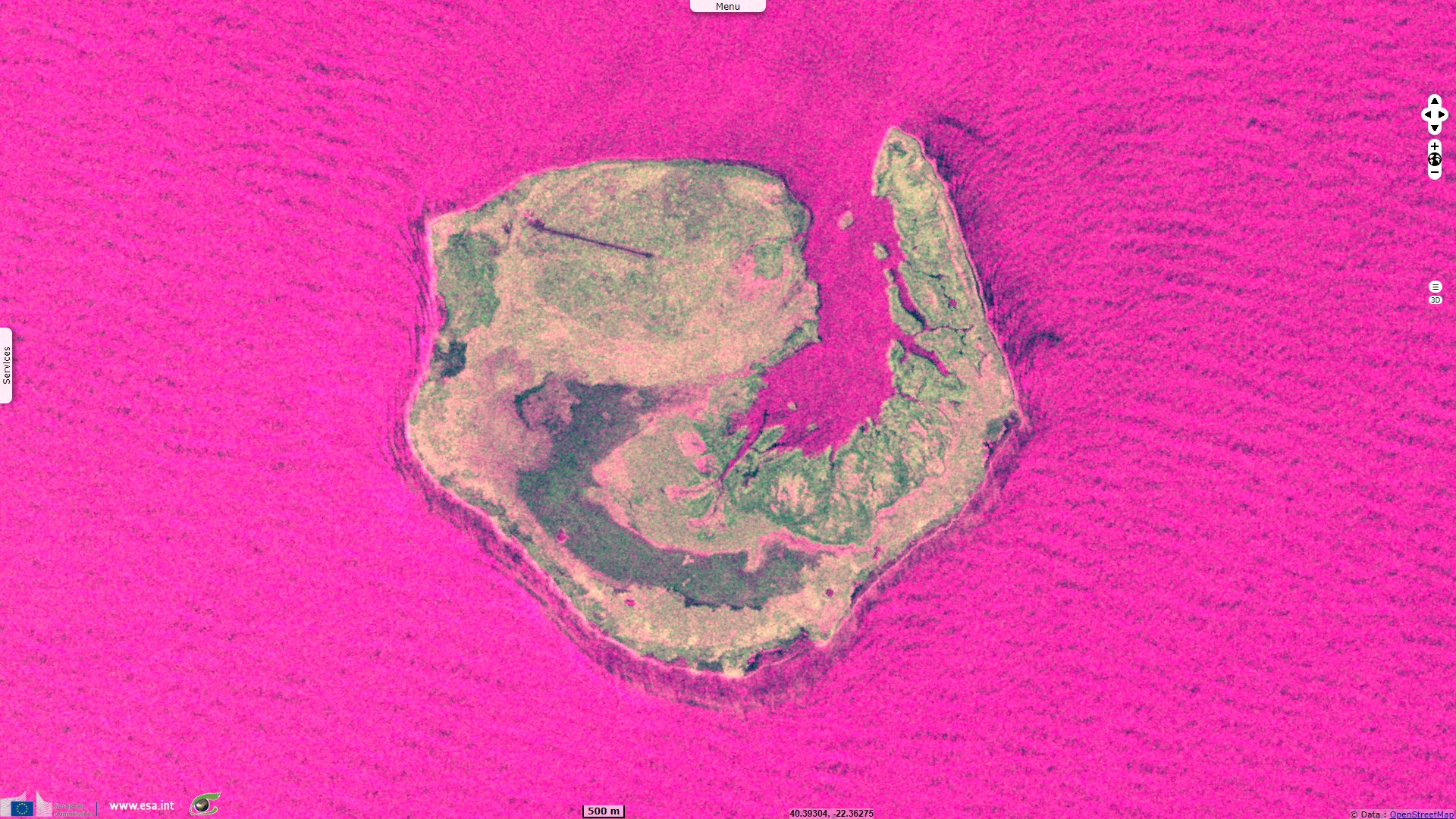
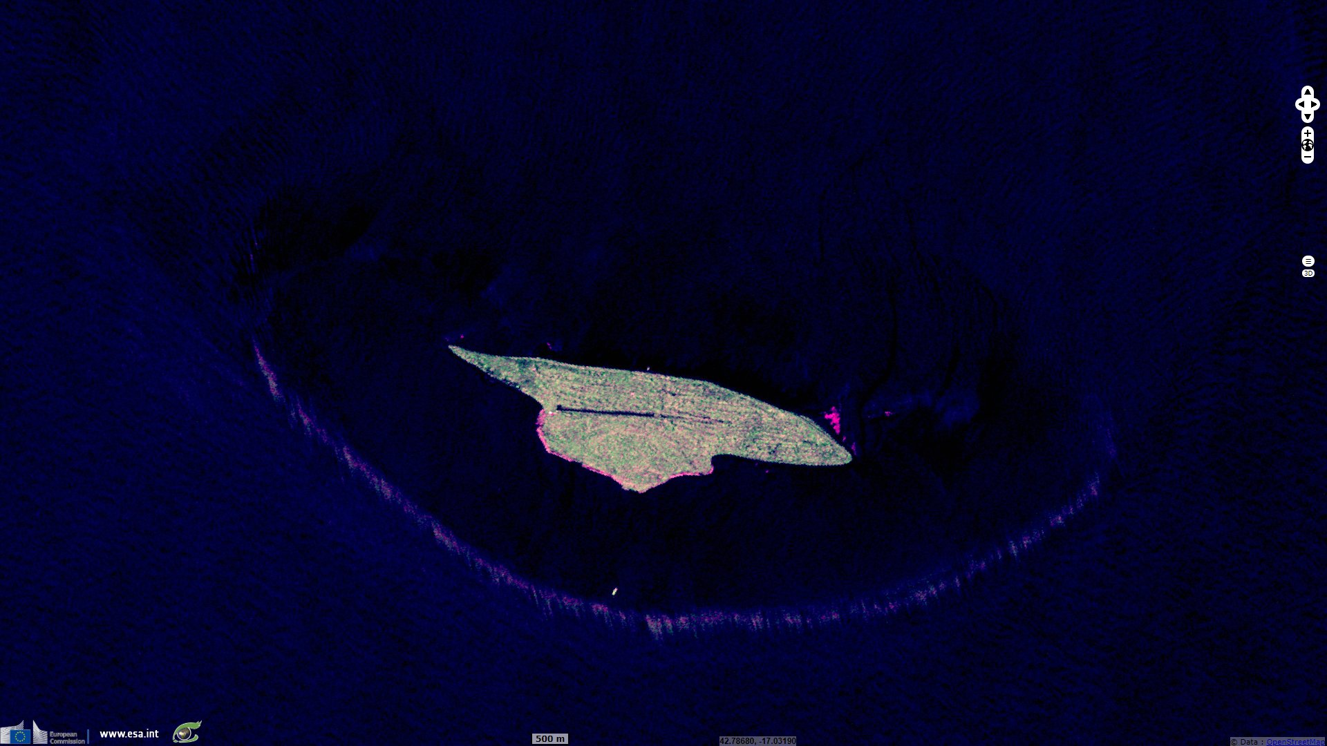
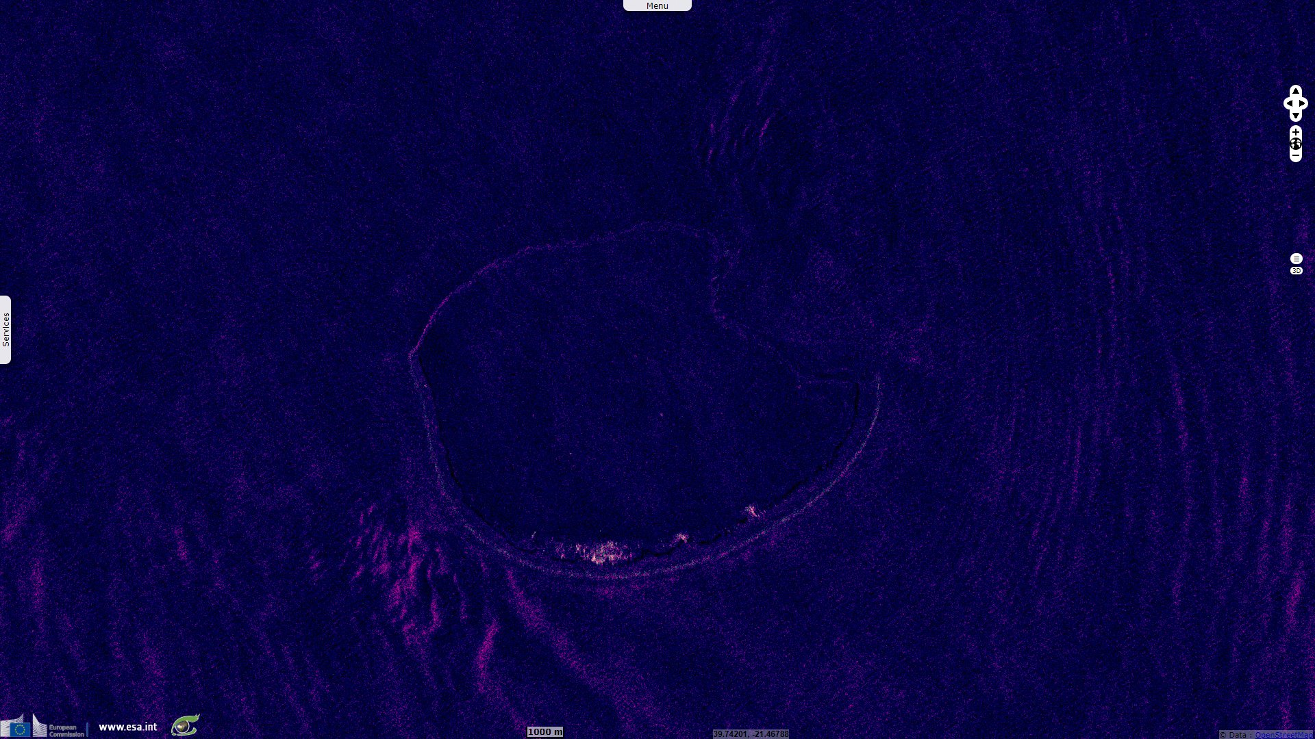
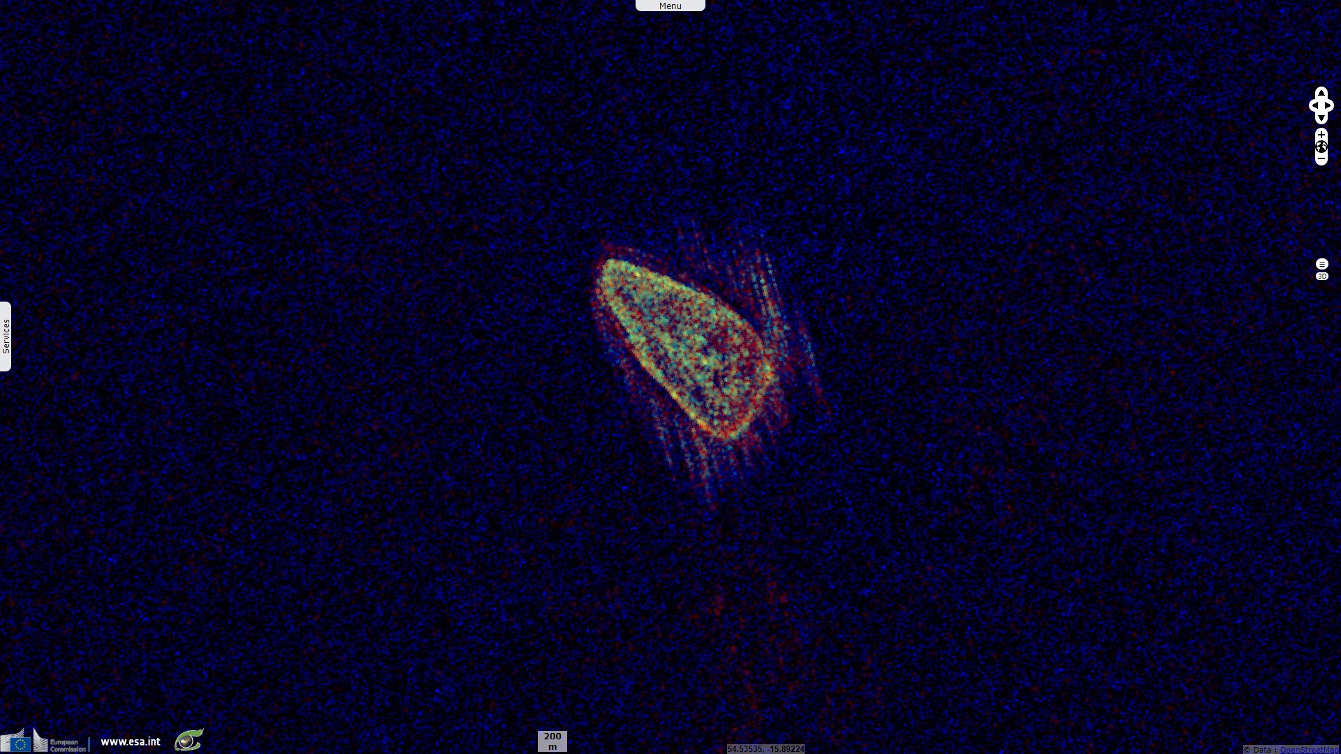
Sentinel-1 CSAR IW acquired on 24 September 2018 at 14:54:32 UTC
...
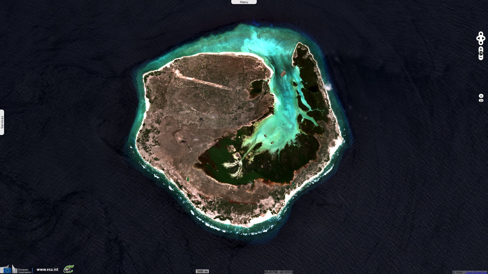
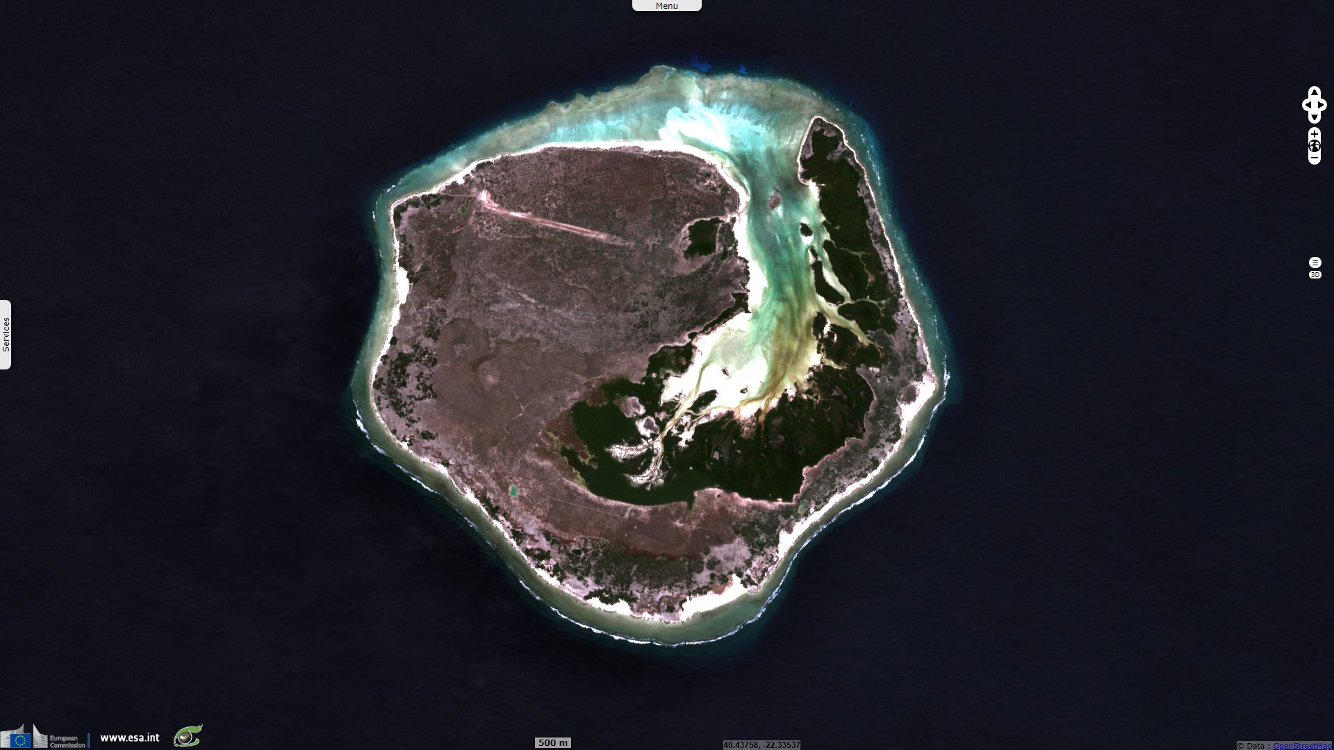
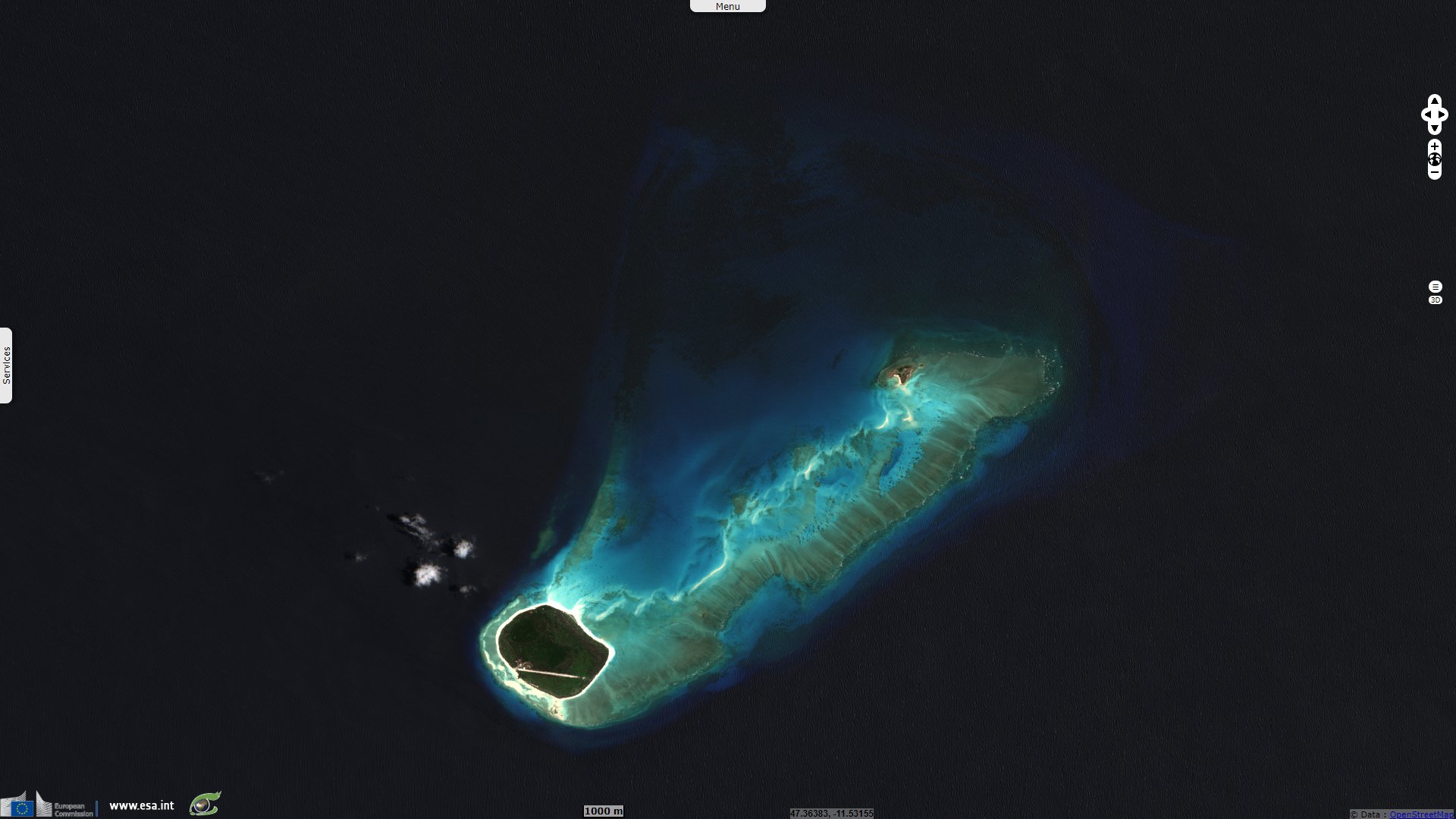
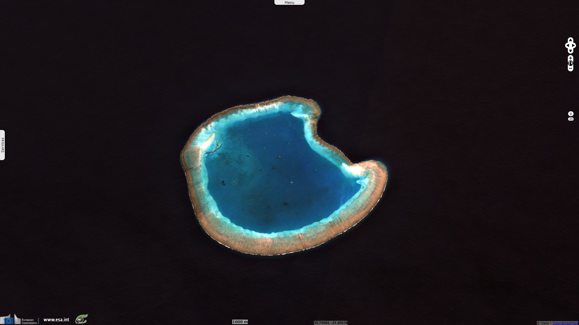
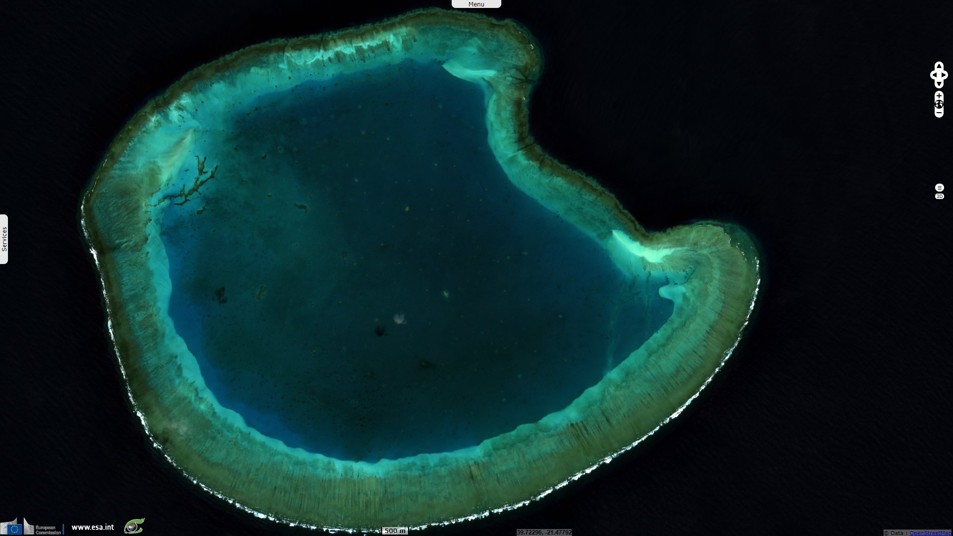
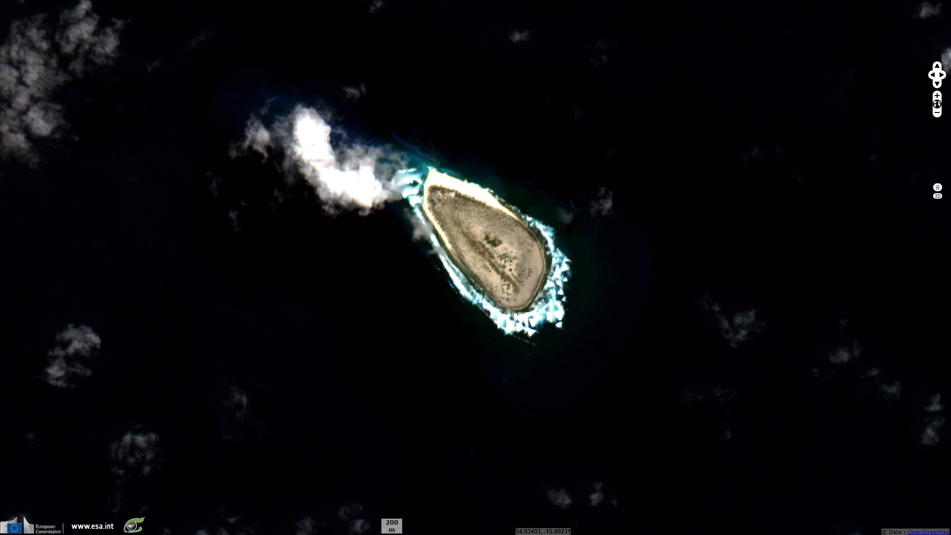
Sentinel-2 MSI acquired on 30 March 2020 at 06:43:41 UTC
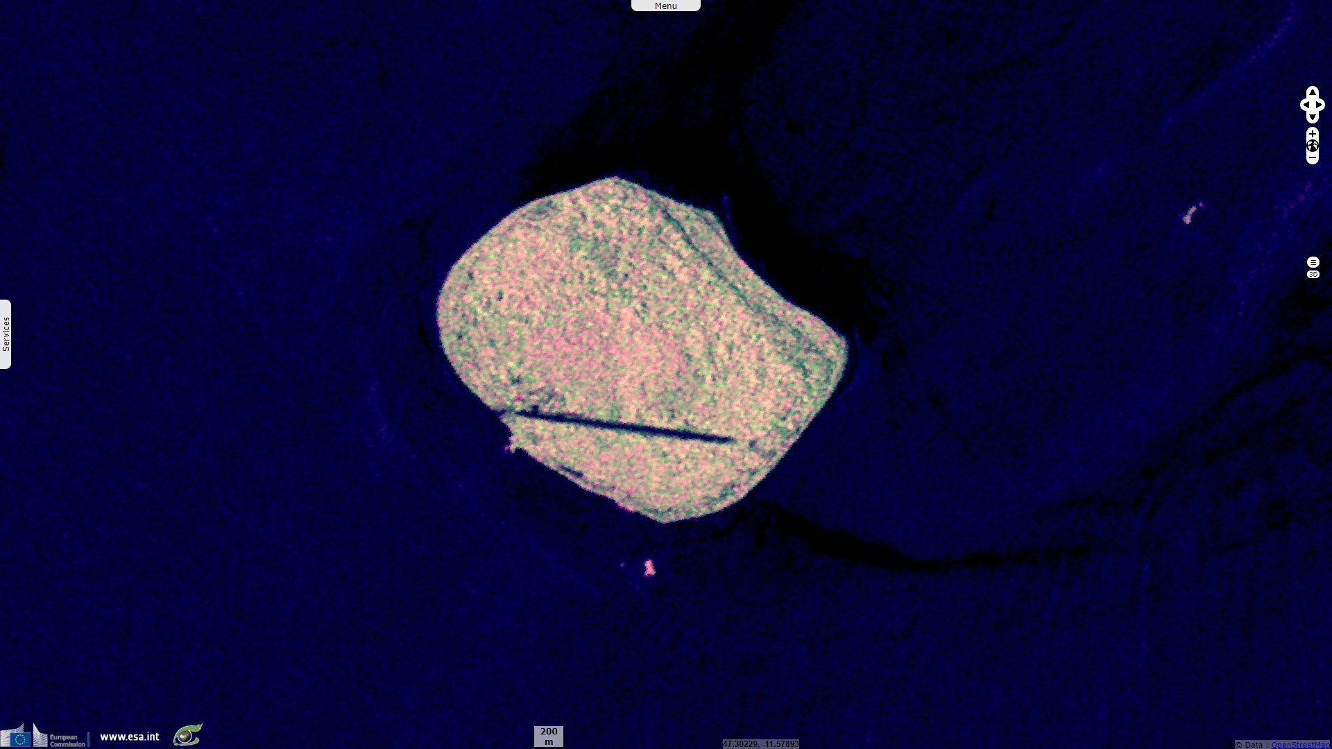
Sentinel-1 CSAR IW acquired on 24 September 2018 at 14:54:32 UTC
...
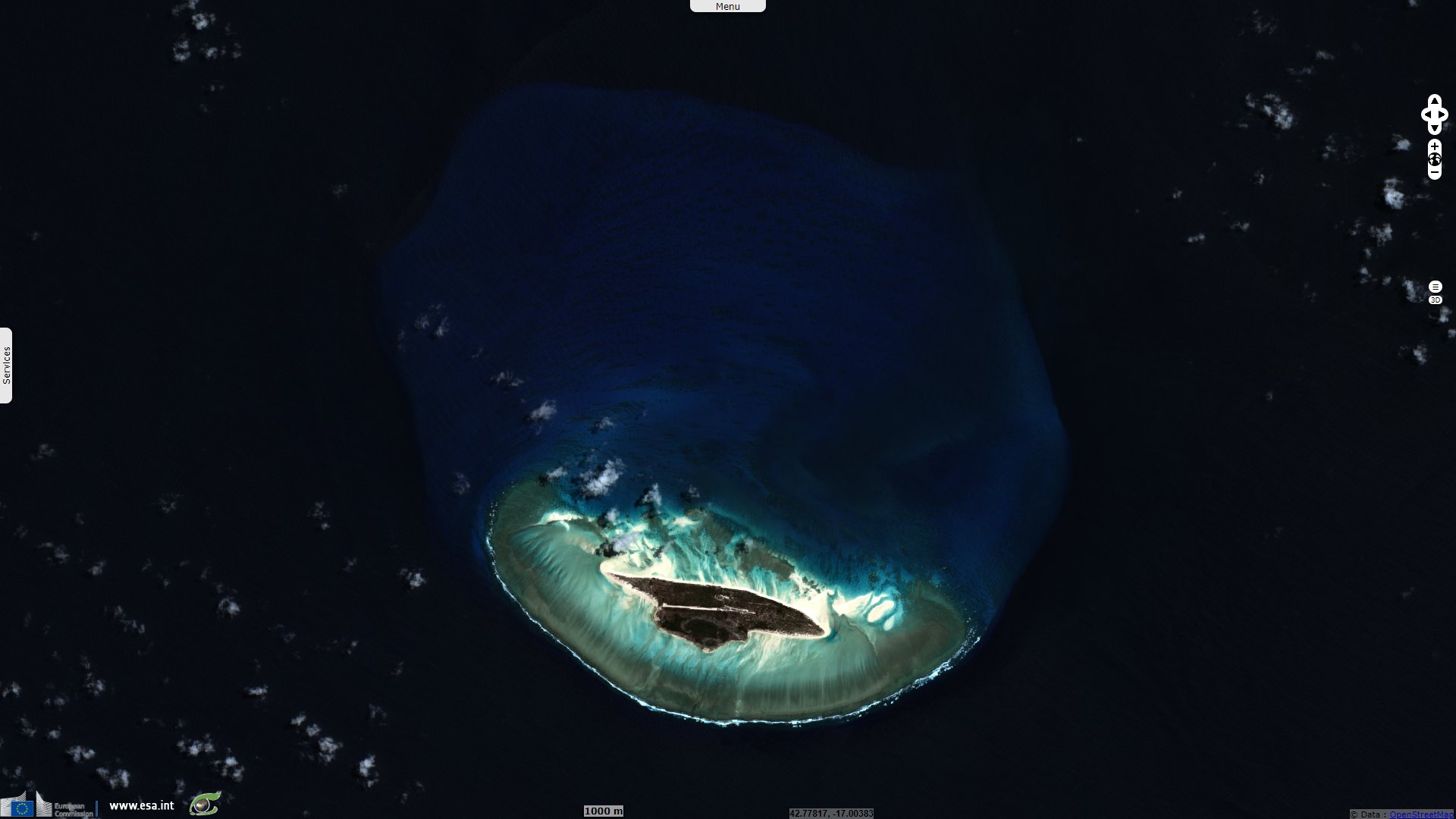
Sentinel-2 MSI acquired on 30 March 2020 at 06:43:41 UTC
Keyword(s): Archipelago, national park, biodiversity, atoll, coral reef, lagoon, mangrove, fishing, oil, ramsar wetland, France, Madagascar, Mauritius, Comoros
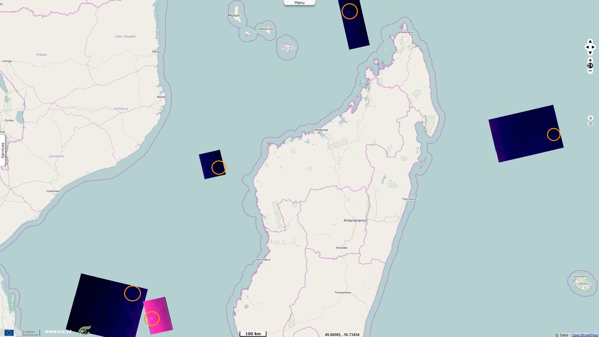
The Scattered Islands in the Indian Ocean consist of four small coral islands, an atoll, and a reef in the Indian Ocean. It is administrated by France though sovereignty over some or all of the Islands is contested by Madagascar, Mauritius, and the Comoros. None of the islands has ever had a permanent population.
In Madagascar, the question of national sovereignty remains sensitive in public opinion. Especially when it comes to litigation with the former colonial power. The claim of the Scattered Islands is therefore the subject of a broad consensus. French side, even if the subject is more unknown, however, there has always been reluctance to give up any territory whatsoever. In a similar case, the co-management agreement of Tromelin Island with Mauritius, dated 2010, is still blocked in the National Assembly. Diplomats will therefore have to work hard to convince either side of concessions.
Mauritius (independant from the UK since 1968), Madagascar (independant from France since 1960), and the Comoros (independant from France since 1975) dispute France's sovereignty over these islands. Mauritius claims Tromelin and states that the island, discovered by France in 1722, was not ceded by the Treaty of Paris in 1814. "Madagascar claims sovereignty over the Glorioso Islands (Banc du Geyser included), though the islands were never a part of the Malagasy Protectorate, having been a part of the colony of Mayotte and dependencies, then a part of the French Comoros that had become a separately administered colony from Madagascar in 1946. The Comoros also claims the Glorioso Islands (Banc du Geyser included), as a part of the disputed French region of Mayotte. Furthermore, Madagascar has also claimed Juan de Nova, Europa, and Bassas da India since 1972."
However, on two occasions in 1979 and 1980, the UN had intervened in favor of Antananarivo by two non-binding resolutions. The United Nations General Assembly ‘invites the French government to begin negotiations with the Malagasy government without further delay with a view to the reintegration of the aforementioned islands, which have been arbitrarily separated from Madagascar’.
On 18 November 2019, two delegations met in Tananarive to begin preparatory discussions in the framework of a joint commission launched in May 2019 by the French and Malagasy presidents. The process is then expected to result in an agreement by June 2020, the 60th anniversary of Madagascar's independence. However, in January 2020, the Republic of Mauritius 'rejects any claim by France to sovereignty over Tromelin and the island's exclusive economic zone' and 'claims full sovereignty over Tromelin and its marine zone'. France then reacted: 'Mauritius's statements have no legal value, as it ignores the fact that Tromelin is French territory over which France has consistently exercised full sovereignty.'
In addition to this issue of sovereignty, there are geostrategic issues. The scattered islands are located in the Mozambique Channel, an important shipping route where safety is paramount. However, Madagascar does not have the necessary deterrents against trafficking such as piracy or terrorist acts that could spread in the area in case of withdrawal.
And then these Scattered Islands and the surrounding maritime space also represent an important economic stake with fishing first and possible hydrocarbons in the basement. Even if for now nothing has been found, the discovery of huge gas reserves off Mozambique's neighbor feeds all fantasies, in particular regarding Juan de Nova.
The offshore exploration license called Juan de Nova Maritime Deep was granted in 2013 to the Nigerian company (Sapetro) South Atlantic Petroleum and his American sister Marex Petroleum. Extended for the first time in 2015, 'it authorized the two oil companies to continue their search for hydrocarbons until December 30, 2018' on the island of Juan Nova. The proximity of huge gas fields off the coast of the Cabo Delgado region (where the Frech company Total is developing large gas projects), in northeast Mozambique, probably explains this… We don't know the results of drilling for Sapetro and Marex Petroleum.
However at the end of 2017, the French Parliament passed a law banning the French state from granting new oil and gas exploration licenses. Hortense Chauvin reported on February 20, 2020:
Through the voice of the Minister for Ecological Transition Elisabeh Borne, the French government announced on February 20, 2020 that it had refused 'to extend the exclusive sea exploration license Juan de Nova Maritime Deep, located off the Scattered Islands', French archipelago of the Mozambique channel. This announcement came while the Minister of Foreign Affairs, Jean-Yves Le Drian, was in Madagascar before going to Mozambique on February 22.
Finally, in terms of the environment, these islands, which have remained in their natural state, are reserves of incredible wealth that France wants to preserve. She also campaigns for their UNESCO World Heritage listing.
The tropical vegetation of the Scattered Islands of the Indian Ocean is disparate from one island to another: totally absent on Bassas da India , it is relatively luxuriant on Europa Island and the Glorieuses Islands, with a forest of euphorbias and a mangrove; composed only of coconut and filaos on Juan de Nova Island, it is declined in herbaceous and shrubby on Tromelin Island. This vegetation, which is relatively poor for islands located in the tropics, is explained by the essentially calcareous nature of the soil, which does not allow good retention of rainwater.
The fauna, on the other hand, is very rich and diversified in the Scattered Islands. The underwater fauna is notably represented by corals, which form the coral reefs surrounding each of the islands, and sea turtles, which periodically come to Europa Island and Tromelin Island to lay their eggs. The avifauna is represented by colonies of seabirds such as frigate birds and gannets on Europa Island, terns on Europa Island and on the Glorious Islands the largest colony of sooty terns in the Indian Ocean and one of the largest in the world on Juan de Nova Island but also pink flamingos on Europa Island.
Due to their remoteness from each other and from neighbouring countries and territories, the exclusive economic zone of the Scattered Islands in the Indian Ocean is very large, with a total area of 640,400 km2. The exploitation of its fishery resources is subject to the law of 21 July 2007 applying to the French Southern and Antarctic Lands, which means that in the territorial waters and the exclusive economic zone, only authorised fishing vessels may carry out their activity.
The views expressed herein can in no way be taken to reflect the official opinion of the European Space Agency or the European Union.
Contains modified Copernicus Sentinel data 2026, processed by VisioTerra.
Contains modified Copernicus Sentinel data 2026, processed by VisioTerra.
| More on European Commission space: |  |
 |
 |
||||
| More on ESA: | |
|
|
S-1 website | S-2 website | S-3 website | |
| More on Copernicus program: | |
|
|
Scihub portal | Cophub portal | Inthub portal | Colhub portal |
| More on VisioTerra: | |
|
|
Sentinel Vision Portal | Envisat+ERS portal | Swarm+GOCE portal | CryoSat portal |