Flood in New Zealand after 300 mm of rain fall in a day
Sentinel-1 CSAR IW acquired on 24 April 2021 at 17:31:24 UTC
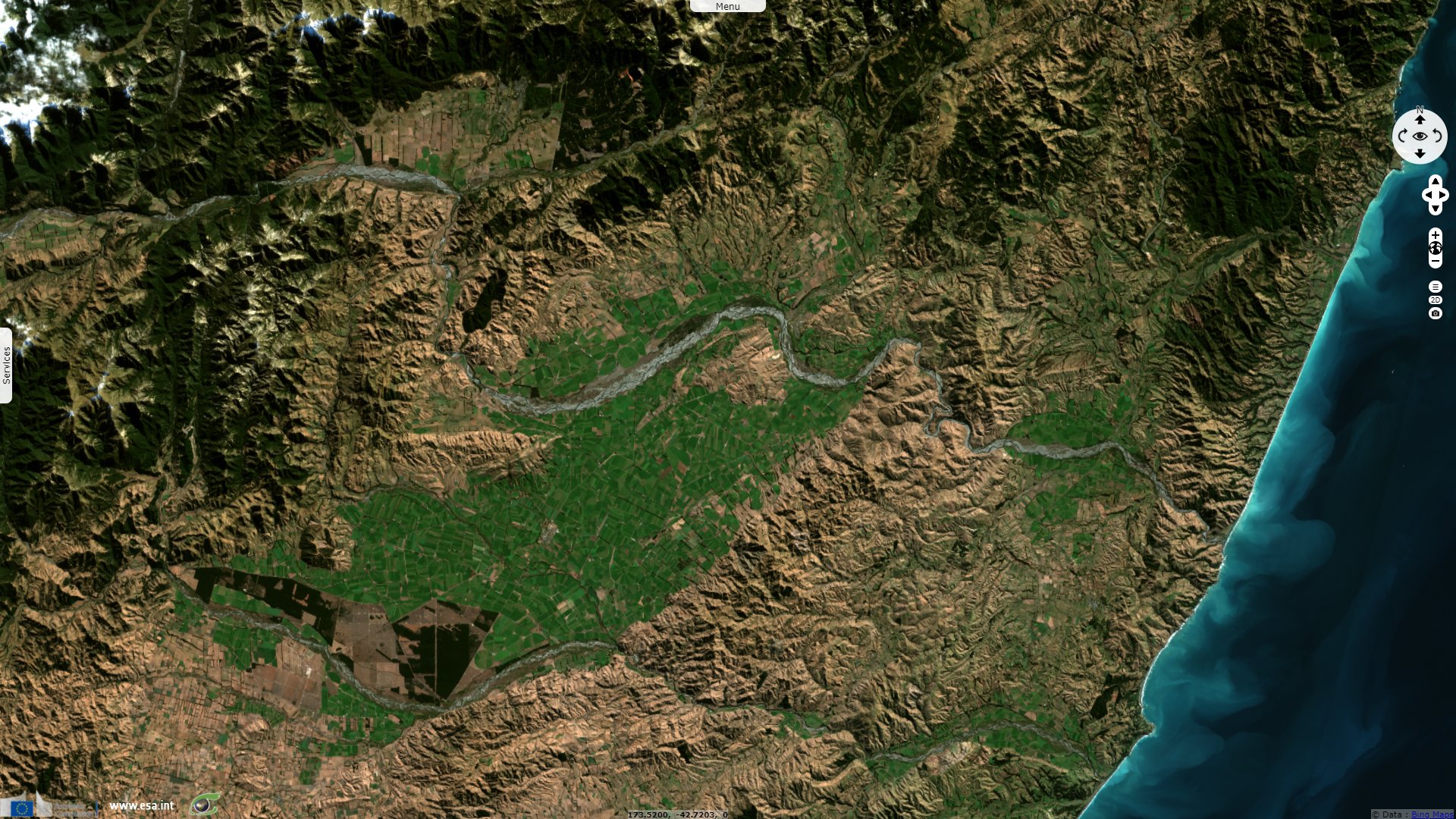
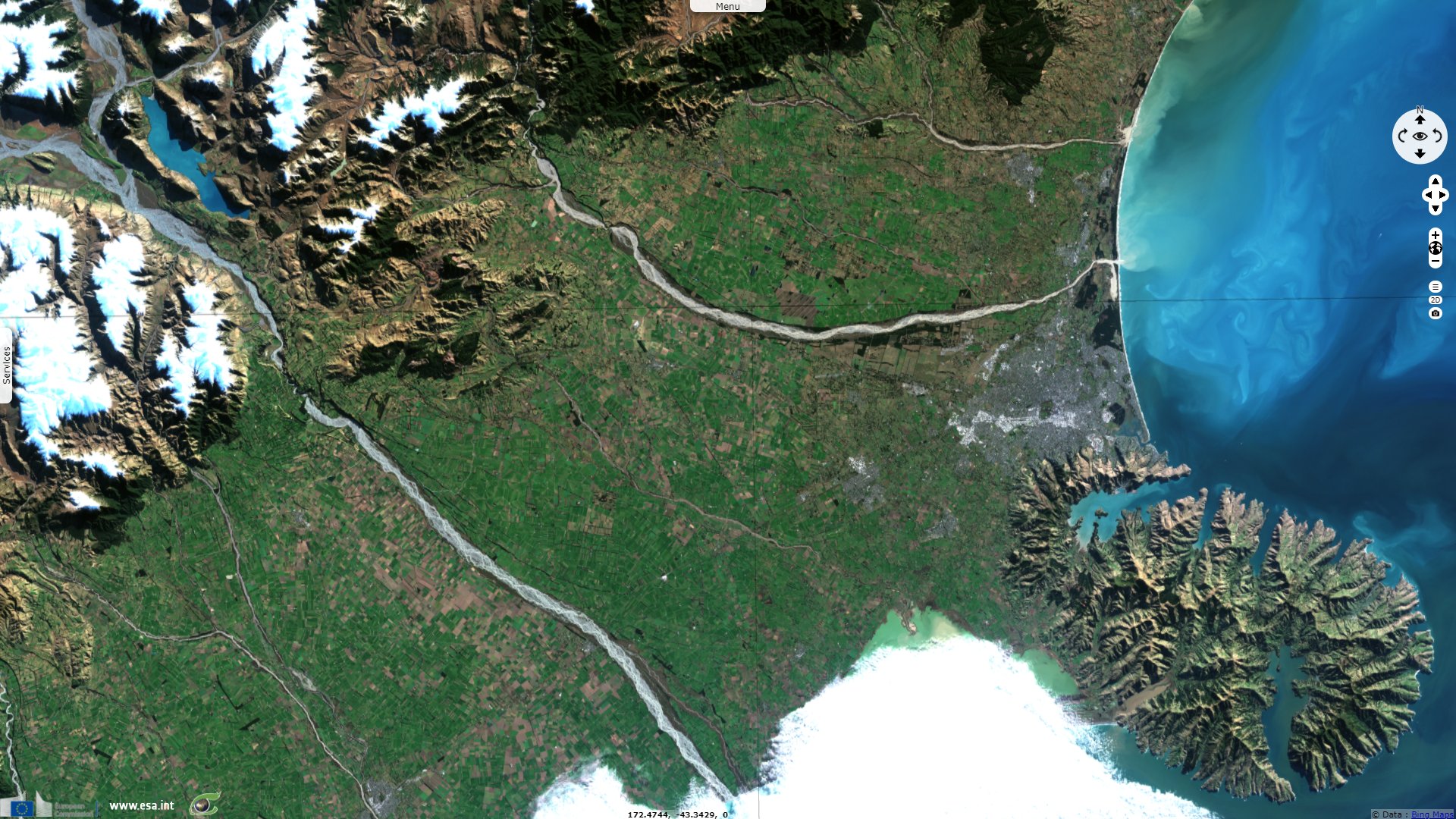
Sentinel-2 MSI acquired on 28 April 2021 at 22:25:39 UTC
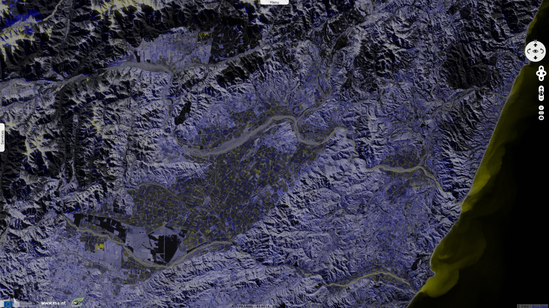
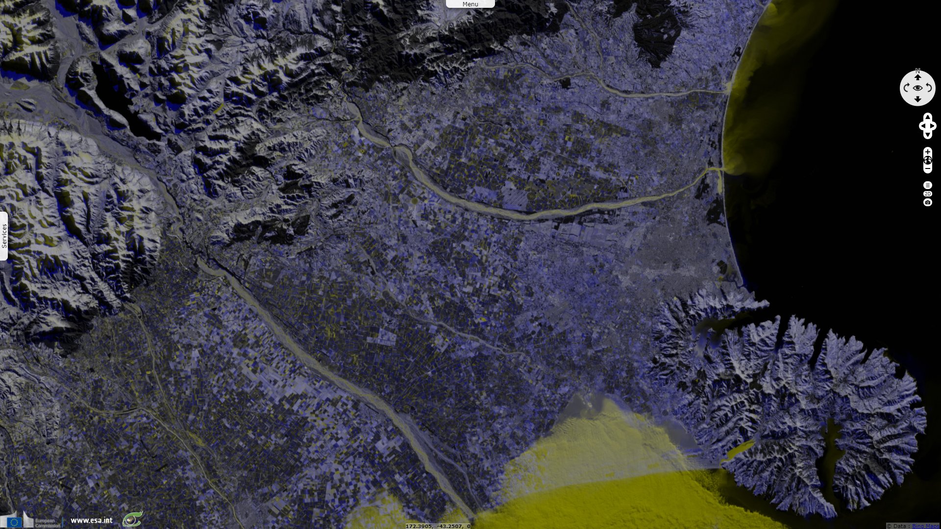
Sentinel-1 CSAR IW acquired on 30 May 2021 at 17:31:26 UTC
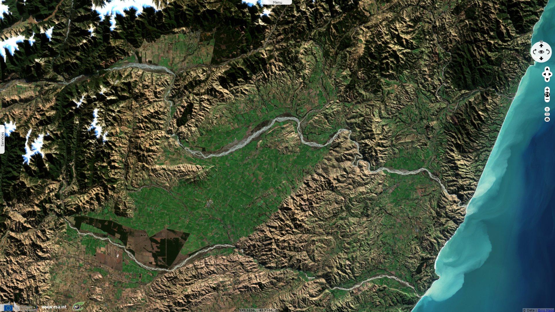
Sentinel-2 MSI acquired on 02 June 2021 at 22:25:51 UTC
Sentinel-2 MSI acquired on 28 April 2021 at 22:25:39 UTC
Sentinel-1 CSAR IW acquired on 30 May 2021 at 17:31:26 UTC
Sentinel-2 MSI acquired on 02 June 2021 at 22:25:51 UTC
Keyword(s): Emergency, natural disaster, flooding, river, hydrology, precipitations, New Zealand
A state of emergency has been declared for the entire region of Canterbury in New Zealand following torrential rain and flooding.
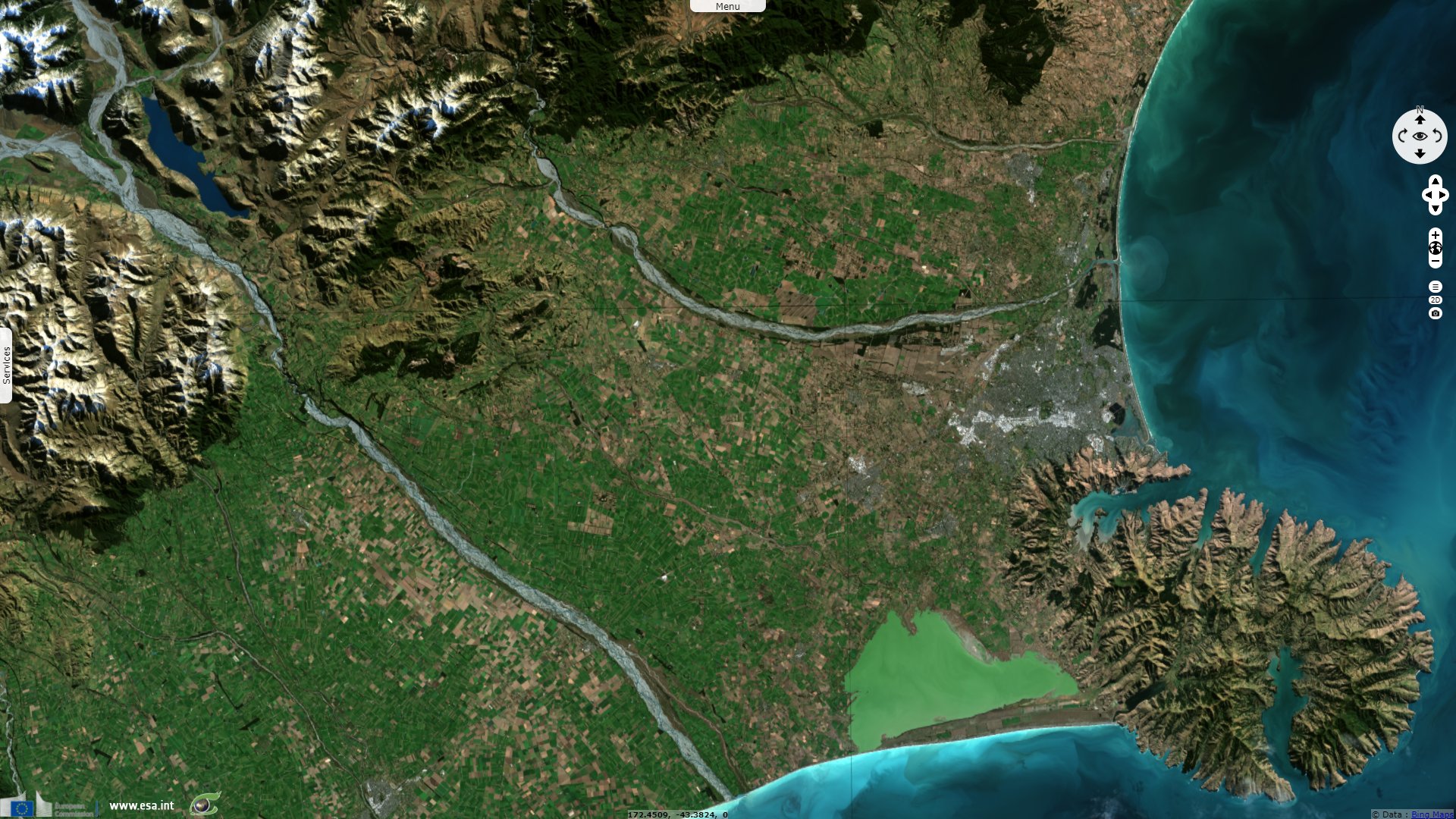
In around 21 hours on 30 May, several weather stations recorded between 200 mm and 300 mm of rain.
The views expressed herein can in no way be taken to reflect the official opinion of the European Space Agency or the European Union.
Contains modified Copernicus Sentinel data 2026, processed by VisioTerra.
Contains modified Copernicus Sentinel data 2026, processed by VisioTerra.
| More on European Commission space: |  |
 |
 |
||||
| More on ESA: | |
|
|
S-1 website | S-2 website | S-3 website | |
| More on Copernicus program: | |
|
|
Scihub portal | Cophub portal | Inthub portal | Colhub portal |
| More on VisioTerra: | |
|
|
Sentinel Vision Portal | Envisat+ERS portal | Swarm+GOCE portal | CryoSat portal |