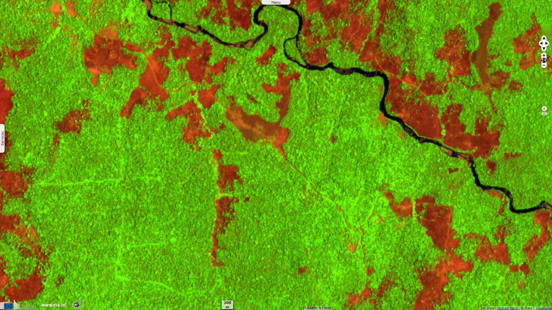
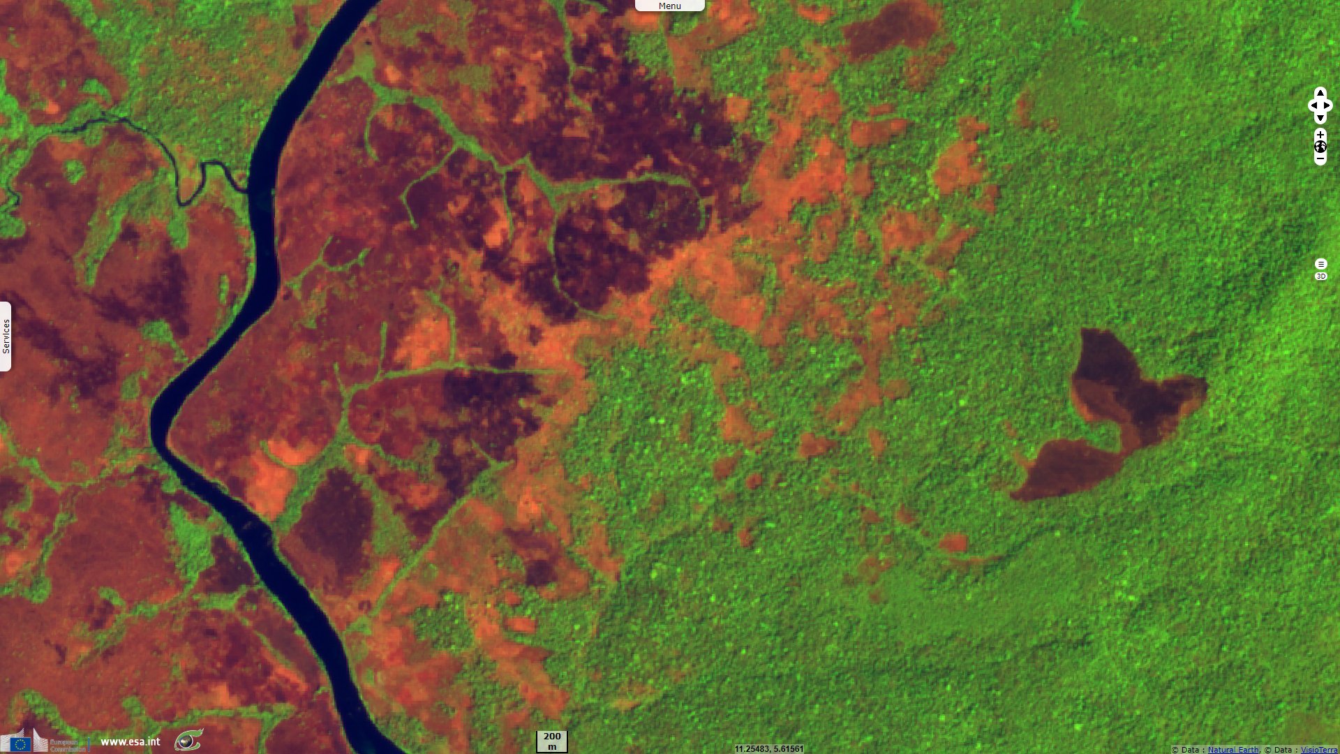
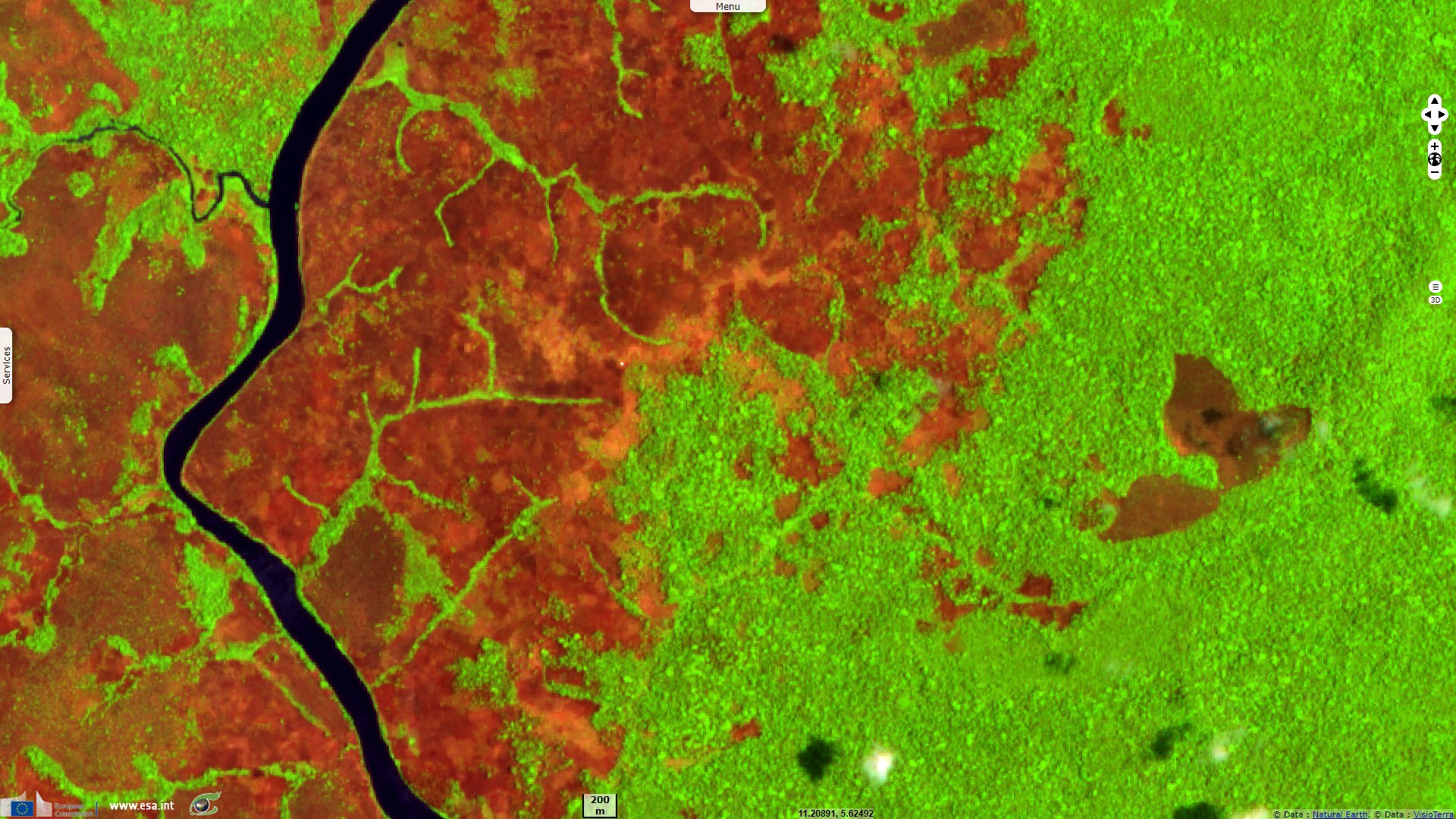
Deforestation near monitored areas in North Cameroon
Sentinel-2 MSI acquired on 01 February 2020 at 09:31:19 UTC
Sentinel-2 MSI acquired on 27 March 2020 at 09:30:31 UTC
Sentinel-2 MSI acquired on 27 March 2020 at 09:30:31 UTC
Keyword(s): Deforestation, wildfire, agriculture, urban, biodiversity, Cameroon
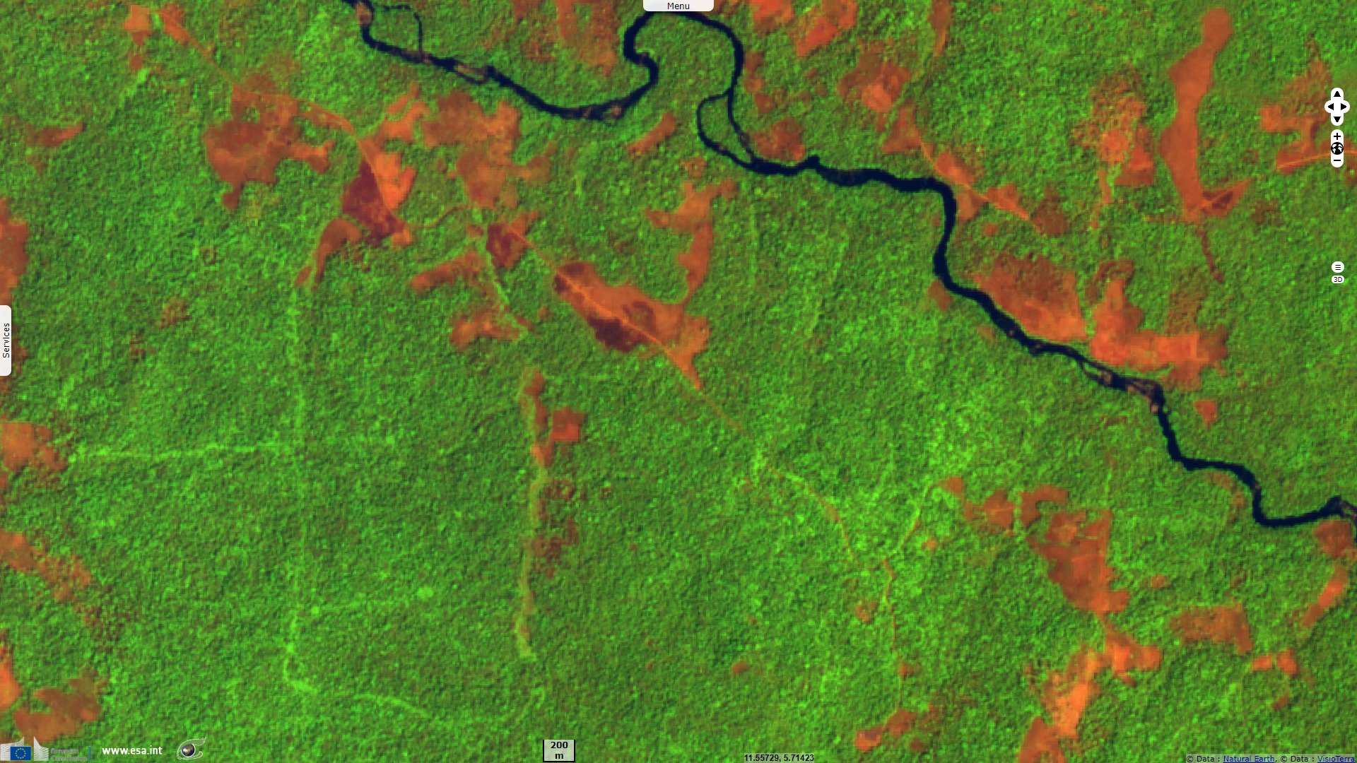
While many trees of tropical forests are destroyed by wildfires or cut legally, many others are deforested illegally, even in protected areas.
The views expressed herein can in no way be taken to reflect the official opinion of the European Space Agency or the European Union.
Contains modified Copernicus Sentinel data 2026, processed by VisioTerra.
Contains modified Copernicus Sentinel data 2026, processed by VisioTerra.
| More on European Commission space: |  |
 |
 |
||||
| More on ESA: | |
|
|
S-1 website | S-2 website | S-3 website | |
| More on Copernicus program: | |
|
|
Scihub portal | Cophub portal | Inthub portal | Colhub portal |
| More on VisioTerra: | |
|
|
Sentinel Vision Portal | Envisat+ERS portal | Swarm+GOCE portal | CryoSat portal |