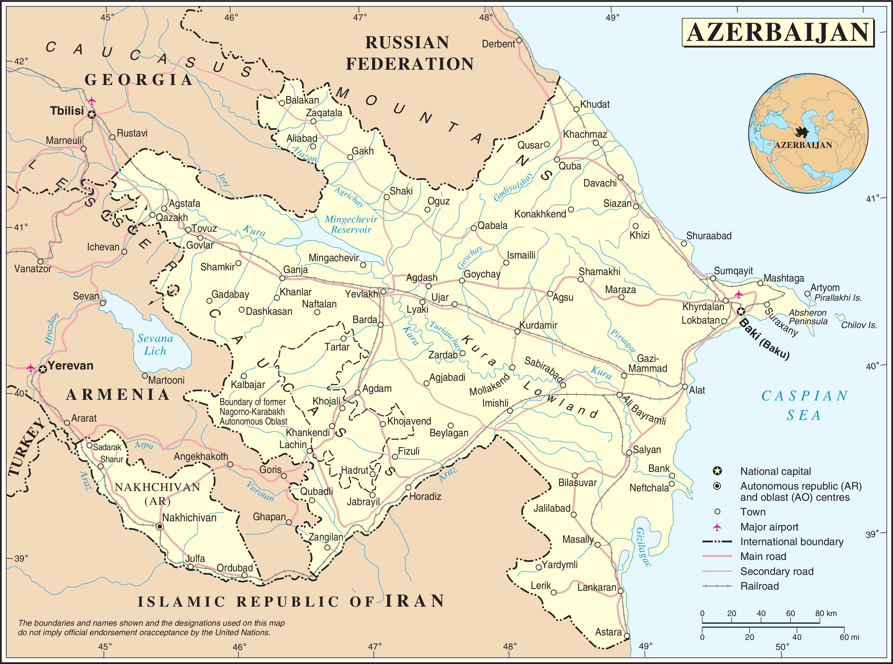
Azerbaijani - Armenian conflict in Nagorno-Karabakh
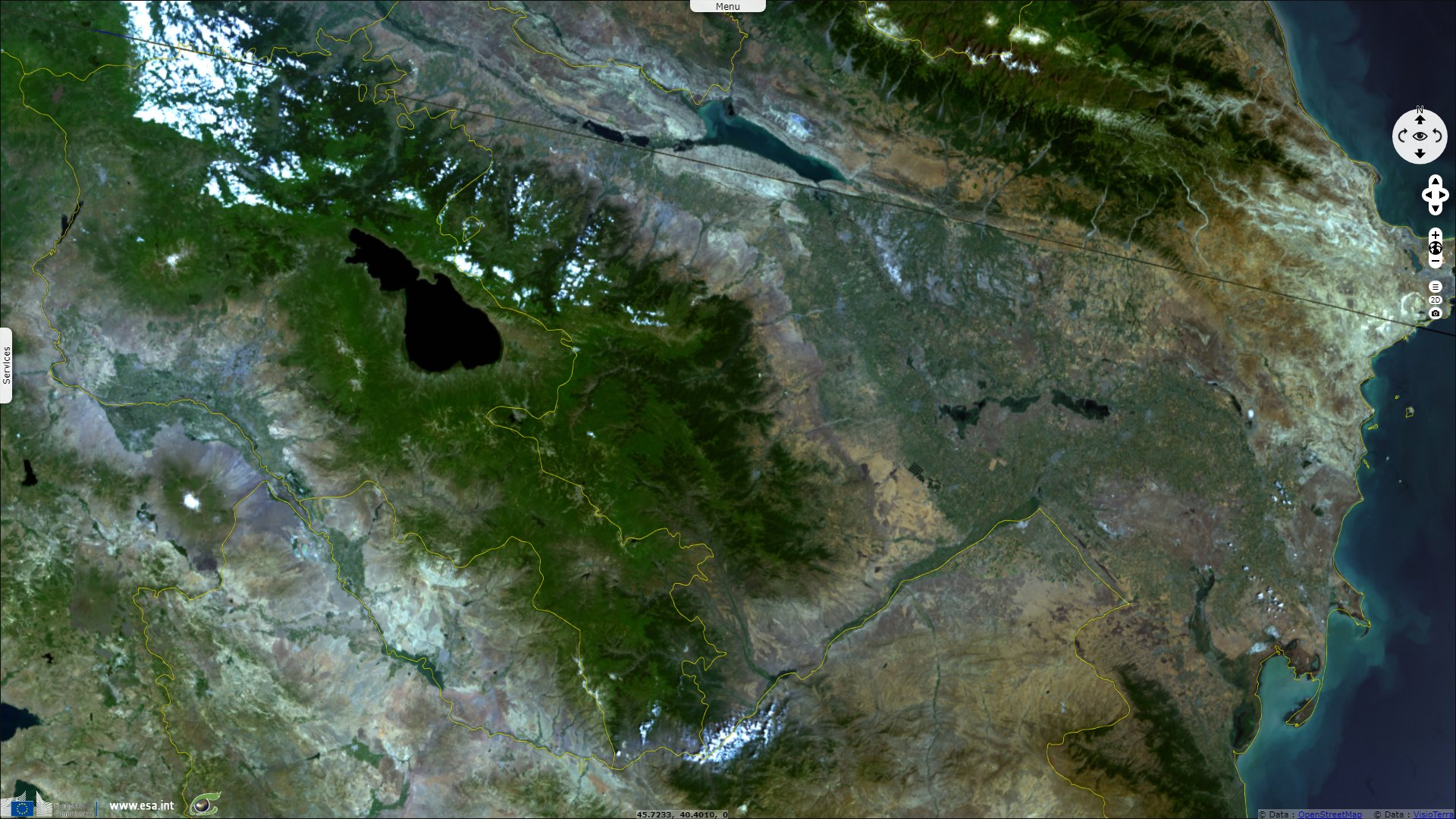
Sentinel-3 OLCI FR acquired on 14 July 2016 at 07:12:34 UTC
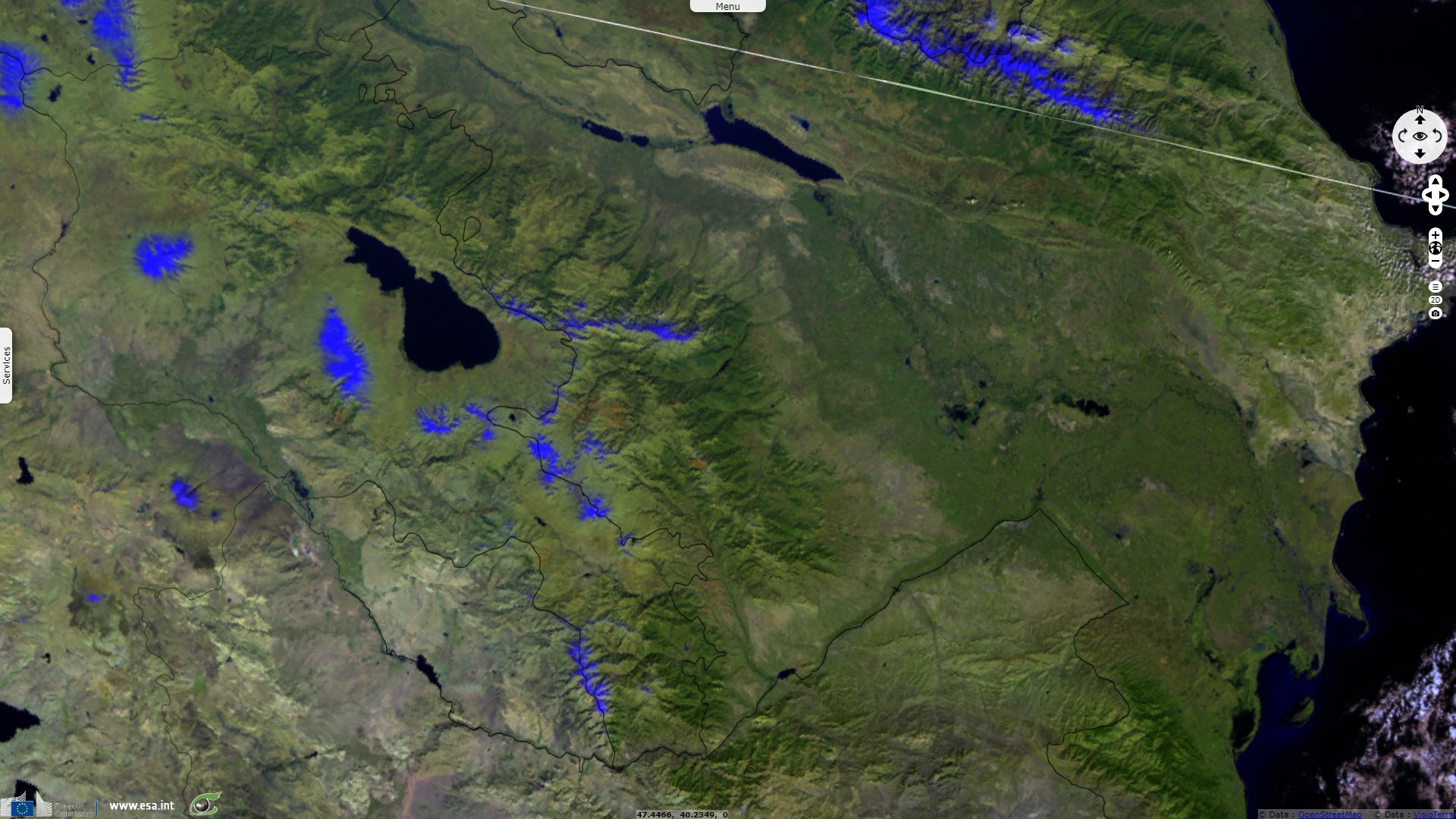
Sentinel-3 SLSTR RBT acquired on 20 October 2017 at 07:08:51 UTC
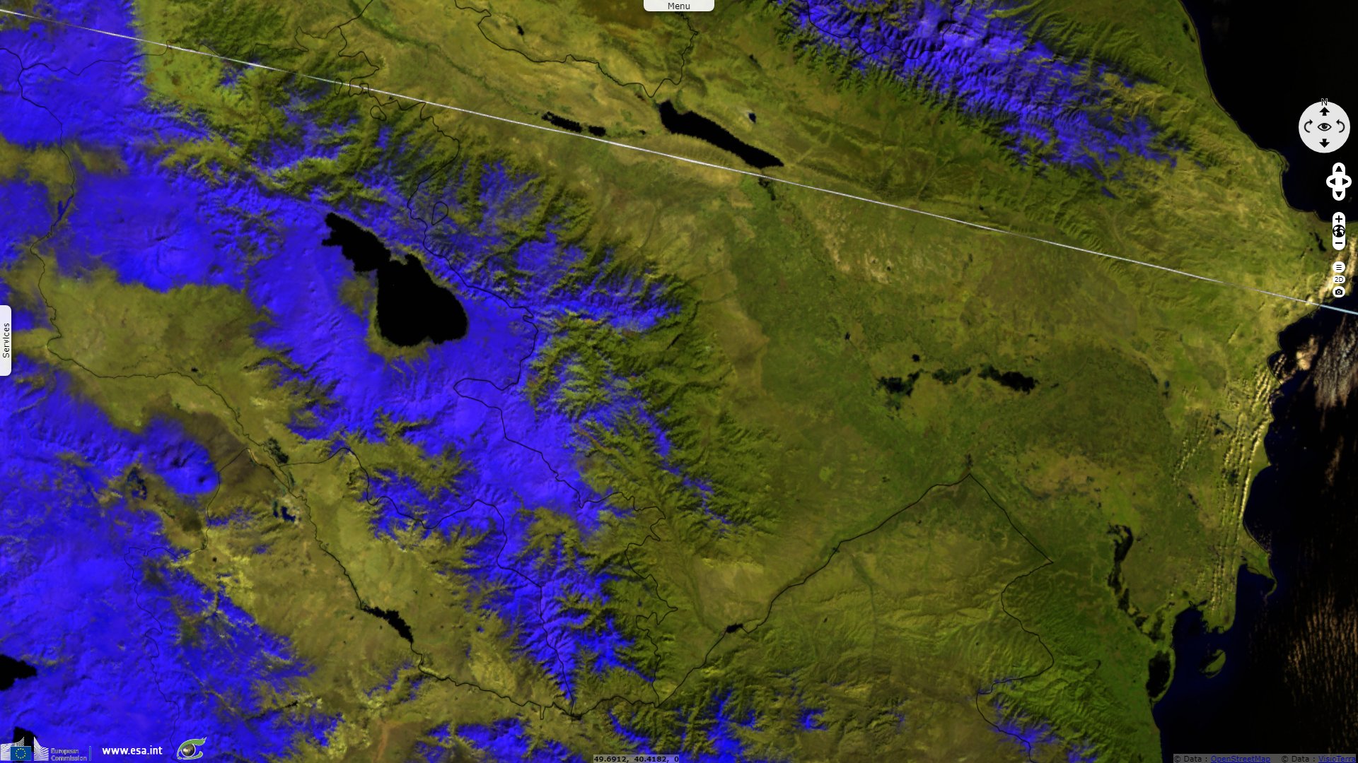
Sentinel-3 SLSTR RBT acquired on 27 February 2020 at 07:12:45 UTC
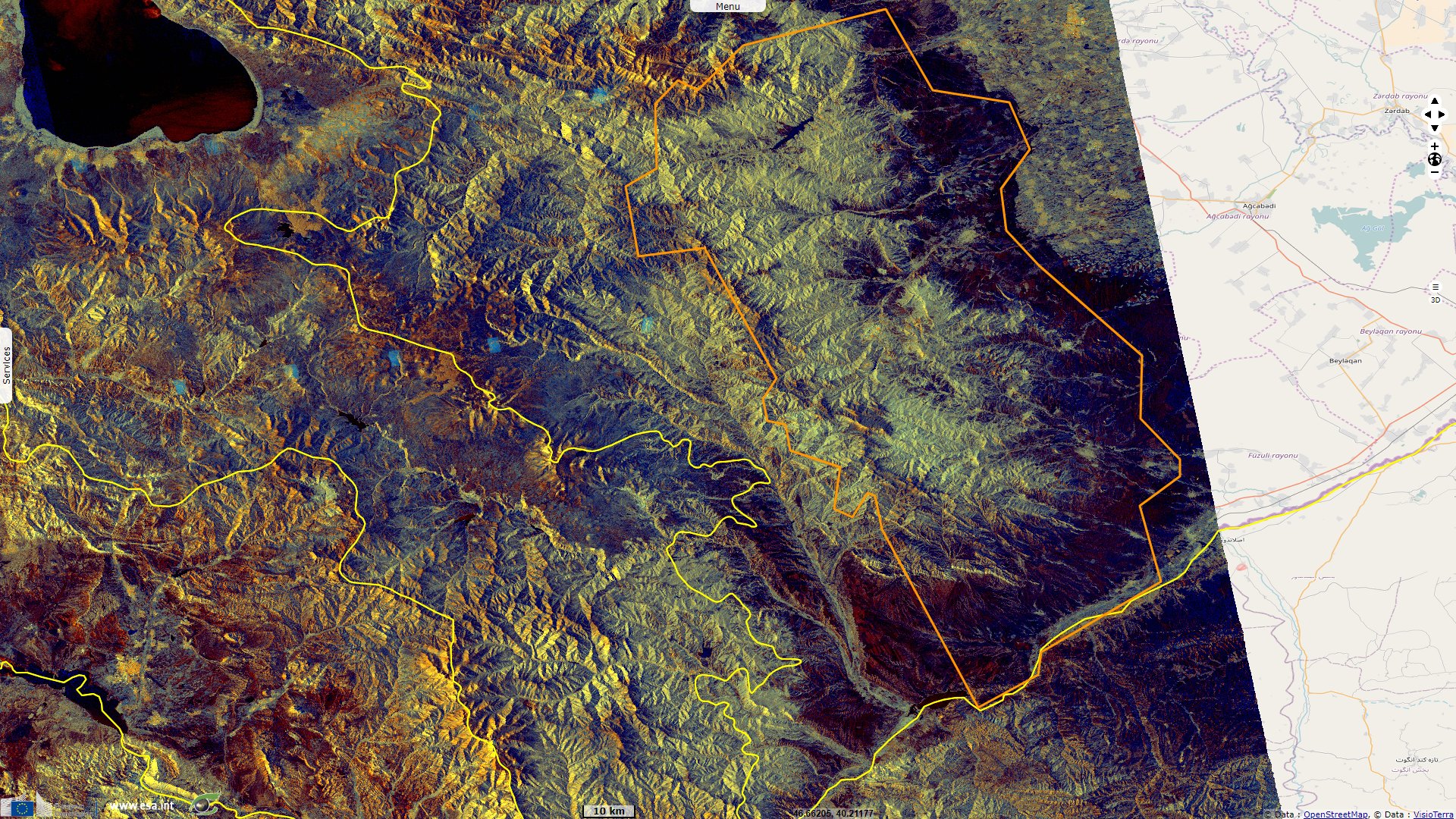
Sentinel-1 CSAR IW acquired on 17 July 2020 from 14:53:18 to 14:53:43 UTC
Sentinel-3 SLSTR RBT acquired on 20 October 2017 at 07:08:51 UTC
Sentinel-3 SLSTR RBT acquired on 27 February 2020 at 07:12:45 UTC
Sentinel-1 CSAR IW acquired on 17 July 2020 from 14:53:18 to 14:53:43 UTC
Keyword(s): Security, Little Caucasus, Armenia, Azerbaijan
Azeris and Armenians culture, language, religion remained distinct and communities did not mix during the soviet period. Following the dissolution of the USSR, Azerbaïdjan, Armenia and Nagorno-Karabakh declared independence in 1991. It later led to the unrecognized Republic of Artsakh after the separatists won the 2017 referendum by 87%; foreign observers approving the method and results but not the validity of the referendum.
89% of the population of Nagorno-Karabakh declared to be Armenian according to a census in 1926, 76% in 1989, 99% in 2015 after most of the Azeri and Kurdish populations fled the region in 1992-1993 during the war.
The current escalation of the conflict has bolstered by Armenia's new distance with its traditional Russian ally, and the arrival of at least thousand Turkish-conveyed Syrian mercenaries before the offensives started.
The views expressed herein can in no way be taken to reflect the official opinion of the European Space Agency or the European Union.
Contains modified Copernicus Sentinel data 2026, processed by VisioTerra.
Contains modified Copernicus Sentinel data 2026, processed by VisioTerra.
| More on European Commission space: |  |
 |
 |
||||
| More on ESA: | |
|
|
S-1 website | S-2 website | S-3 website | |
| More on Copernicus program: | |
|
|
Scihub portal | Cophub portal | Inthub portal | Colhub portal |
| More on VisioTerra: | |
|
|
Sentinel Vision Portal | Envisat+ERS portal | Swarm+GOCE portal | CryoSat portal |