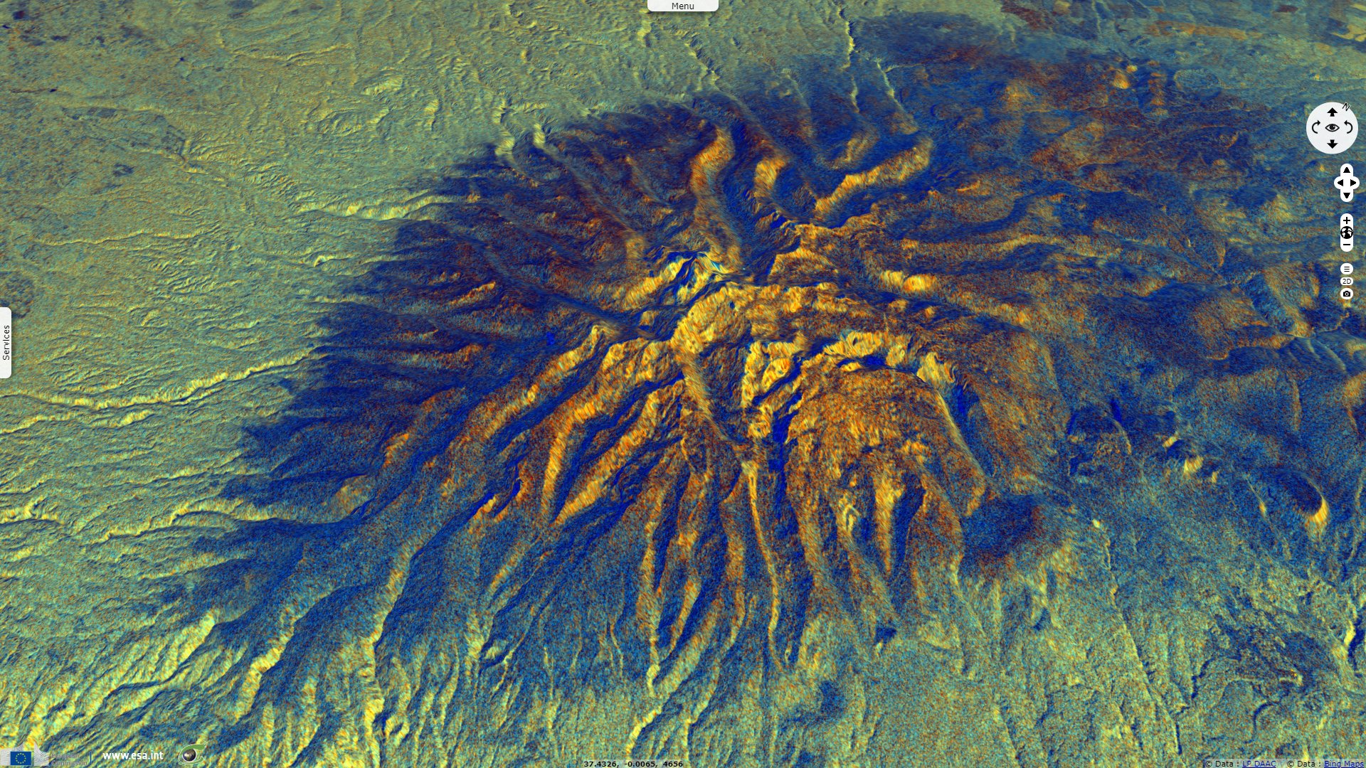
Mount Kenya, second highest summit of Africa
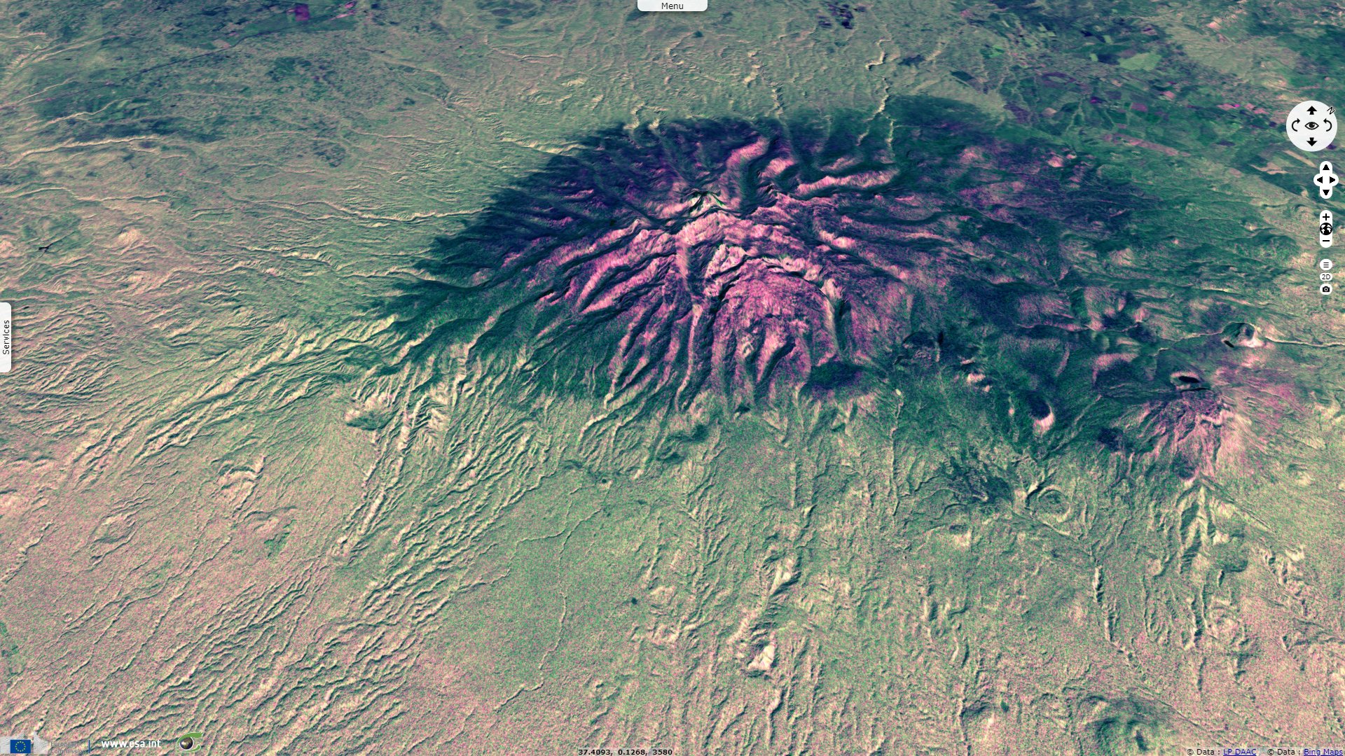
Sentinel-1 CSAR IW acquired on 14 May 2017 at 15:48:11 UTC
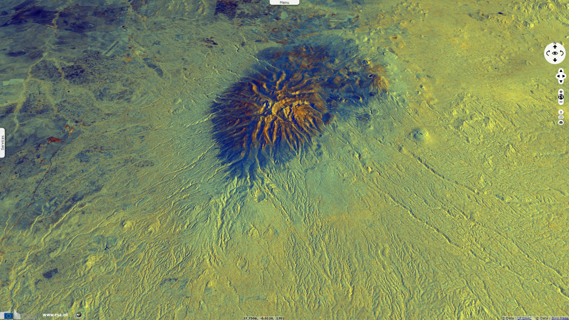
Sentinel-1 CSAR IW acquired on 30 November 2017 at 03:10:53 UTC
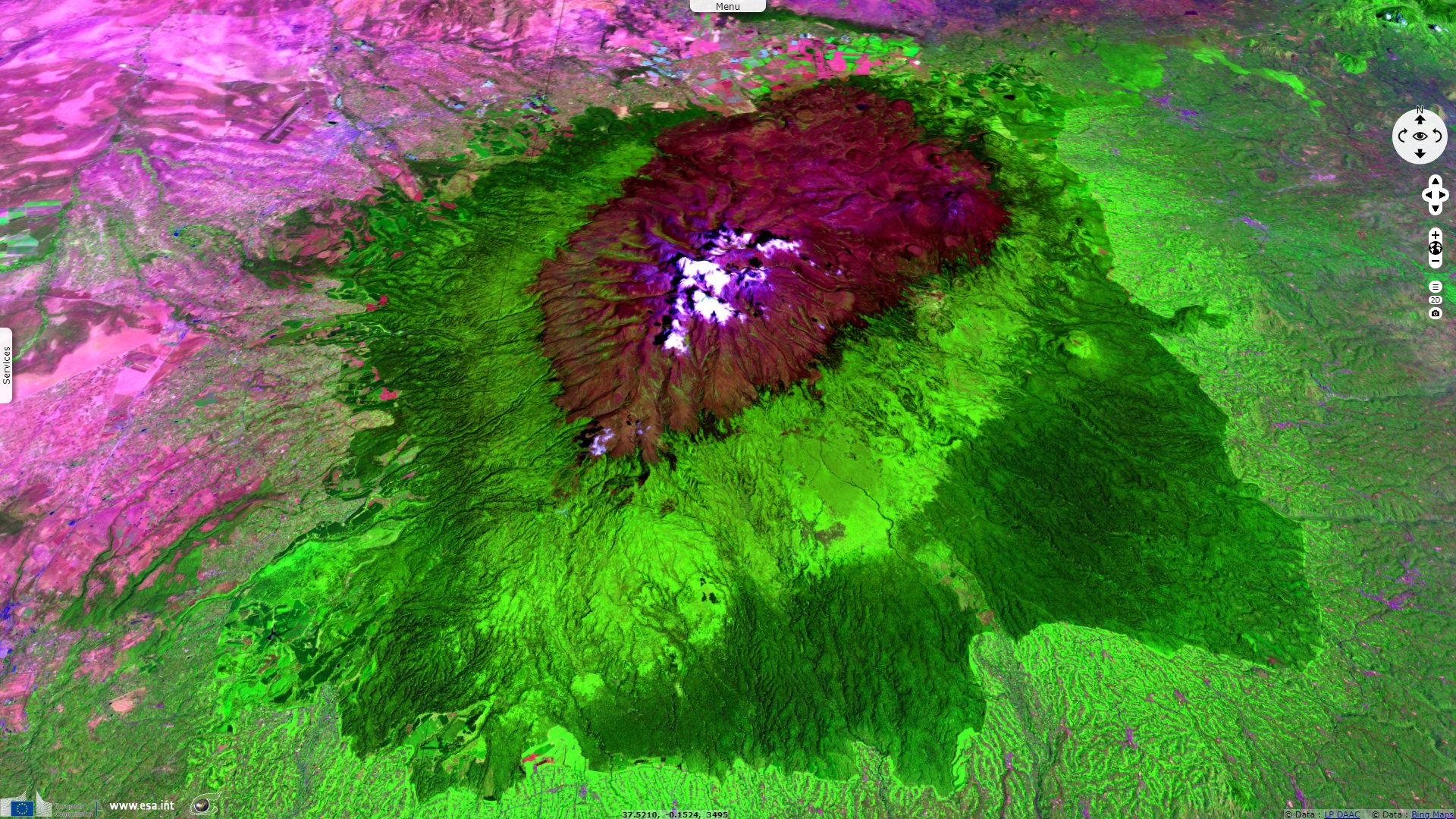
Sentinel-2 MSI acquired on 03 February 2019 at 07:41:29 UTC
Sentinel-1 CSAR IW acquired on 30 November 2017 at 03:10:53 UTC
Sentinel-2 MSI acquired on 03 February 2019 at 07:41:29 UTC
Keyword(s): Mountain, volcano, ice cap, glacier, cryosphere, climate change, UNESCO World Heritage site, Great rift valley.
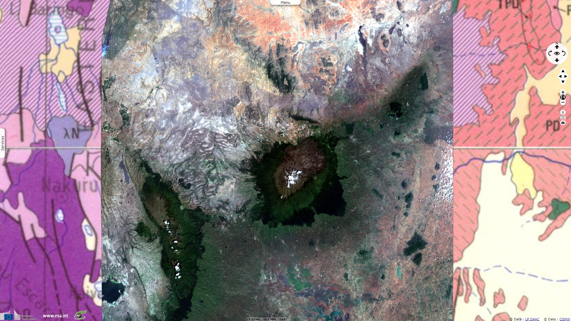
Mount Kenya is an effusive stratovolcano created approximately 3 million years after the opening of the Gregory rift.
Surrounded by crop areas, there are distinct vegetation rings around Mount Kenya which vary according to altitude & aspect, from bottom to top: montane forest, bamboo forest, timberline forest, heathland & chaparral, afro-alpine and finally the nival zone.
The views expressed herein can in no way be taken to reflect the official opinion of the European Space Agency or the European Union.
Contains modified Copernicus Sentinel data 2026, processed by VisioTerra.
Contains modified Copernicus Sentinel data 2026, processed by VisioTerra.
| More on European Commission space: |  |
 |
 |
||||
| More on ESA: | |
|
|
S-1 website | S-2 website | S-3 website | |
| More on Copernicus program: | |
|
|
Scihub portal | Cophub portal | Inthub portal | Colhub portal |
| More on VisioTerra: | |
|
|
Sentinel Vision Portal | Envisat+ERS portal | Swarm+GOCE portal | CryoSat portal |