Manicouagan crater, eye of Quebec visible from the Moon, Canada
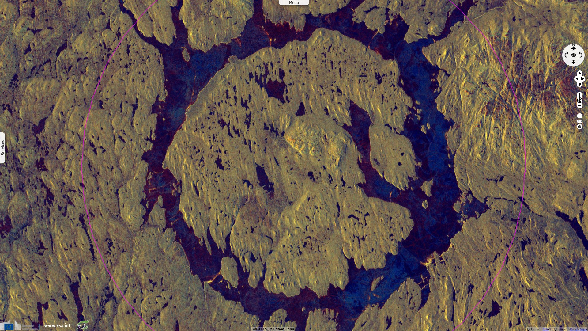
Sentinel-1 CSAR IW acquired on 08 December 2016 from 10:46:13 to 10:46:38 UTC
...
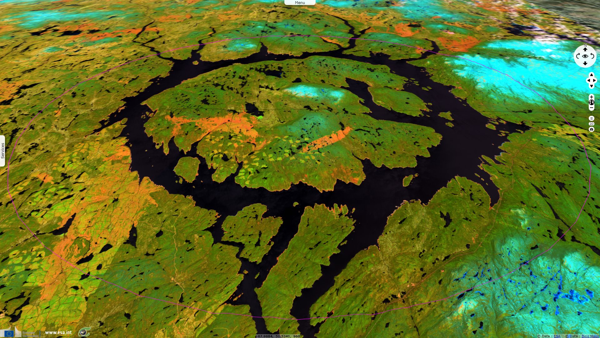
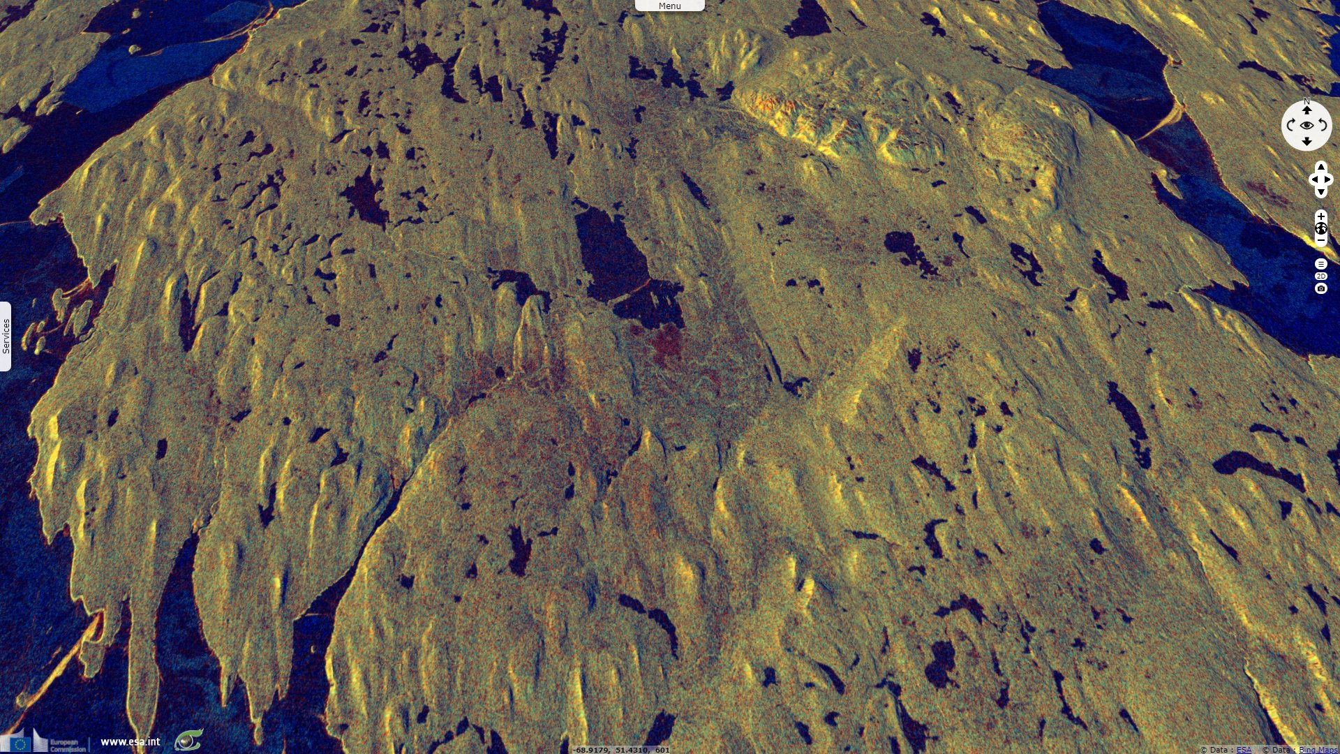
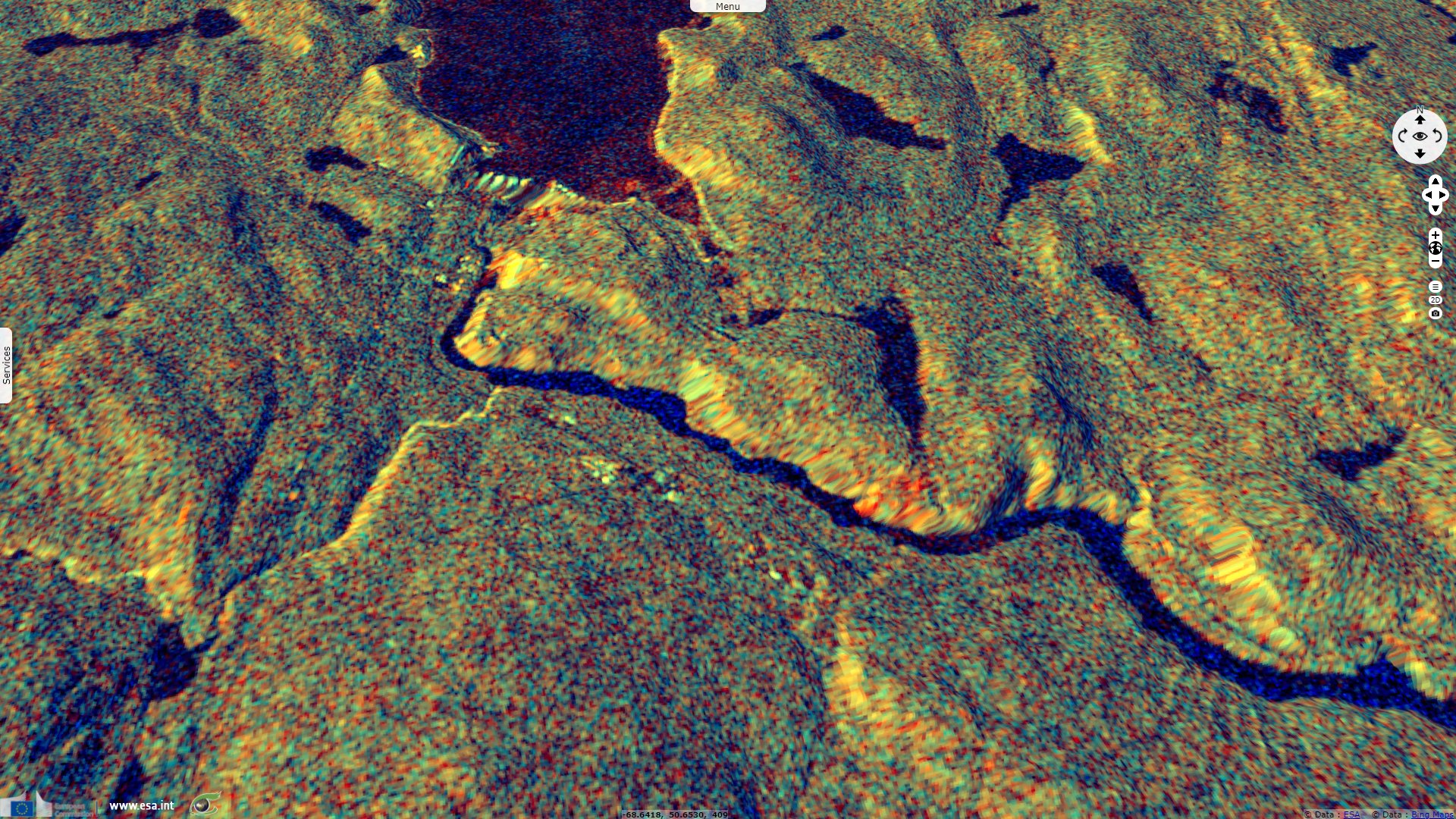
Sentinel-1 CSAR IW acquired on 11 January 2018 from 22:20:29 to 22:20:54 UTC
Sentinel-2 MSI acquired on 02 June 2018 at 15:38:59 UTC
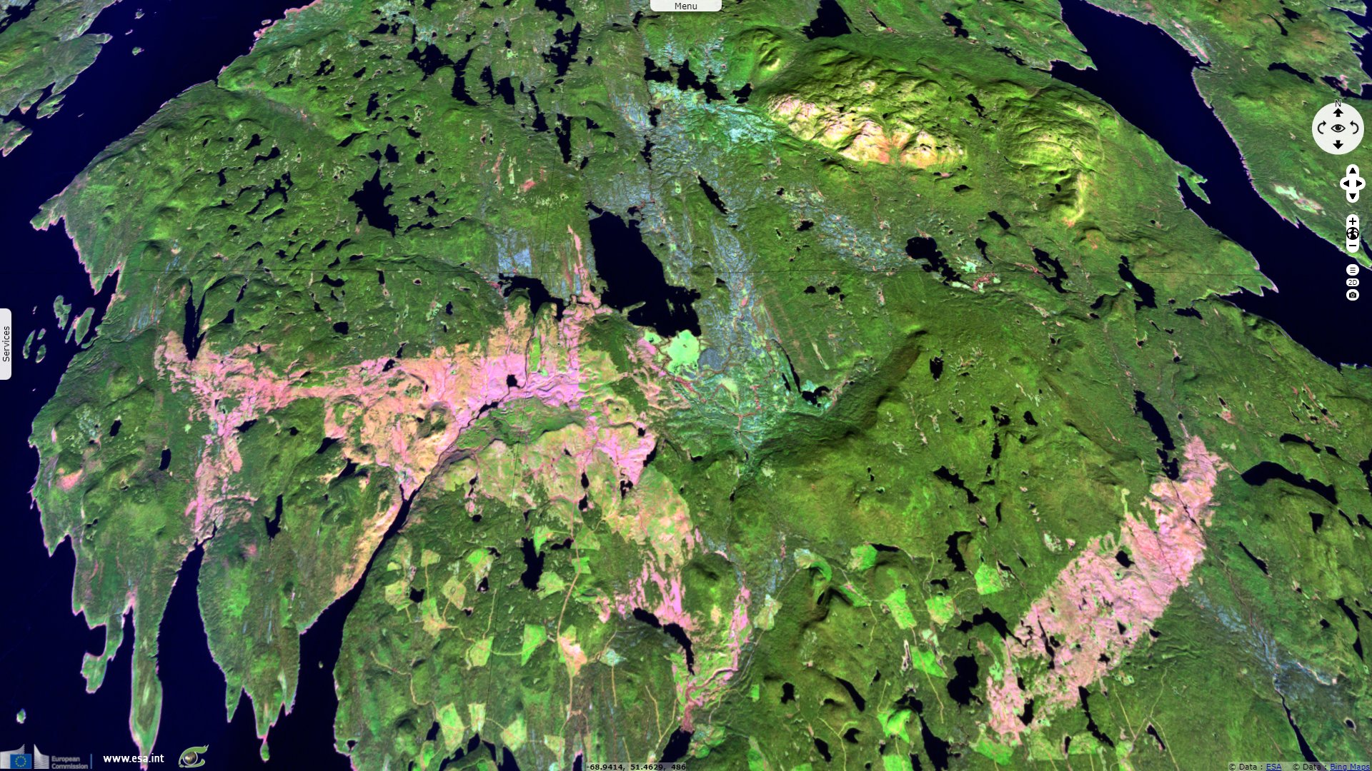
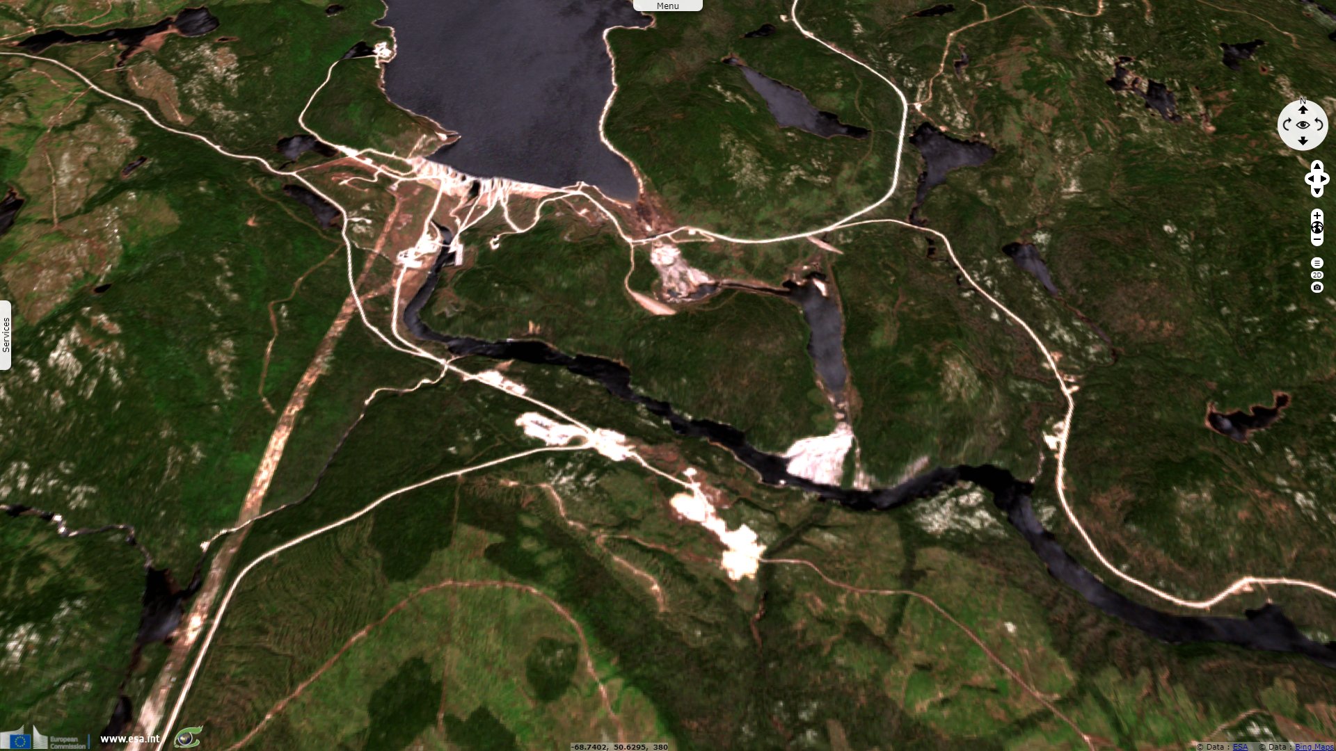
Sentinel-2 MSI acquired on 29 October 2021 at 15:44:01 UTC
...
Sentinel-1 CSAR IW acquired on 11 January 2018 from 22:20:29 to 22:20:54 UTC
Sentinel-2 MSI acquired on 02 June 2018 at 15:38:59 UTC
Sentinel-2 MSI acquired on 29 October 2021 at 15:44:01 UTC
Keyword(s): Impact crater, asteroid, erosion, craton, rings, reservoir lake, dam, hydropower, green energy, renewables, Canada
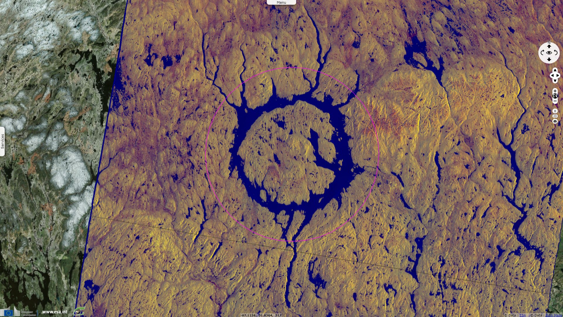
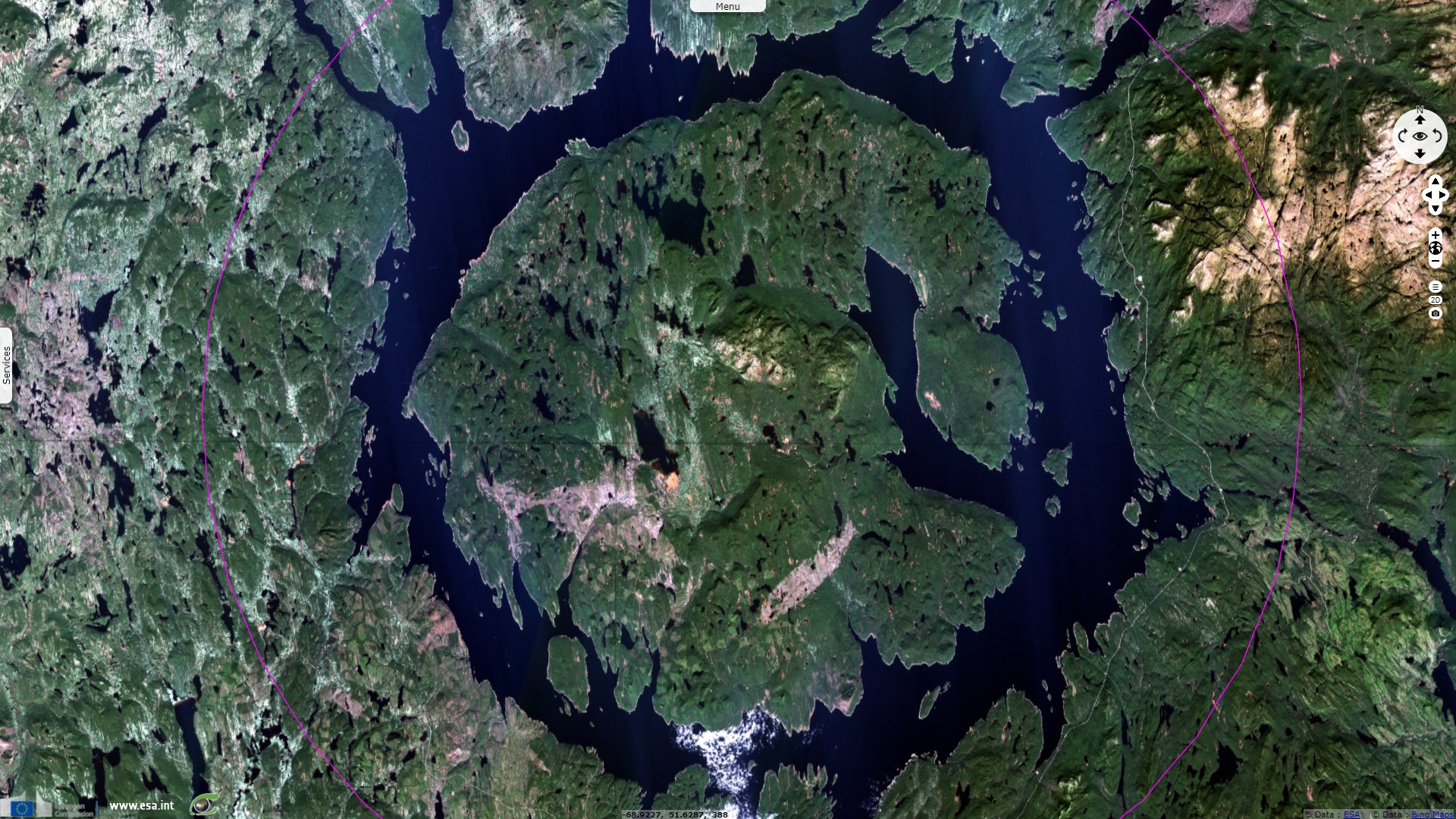
The Manicouagan Reservoir in Quebec is one of the most visible large impact craters on Earth, and at 100 km in diameter it is tied with the Eocene Popigai crater in Siberia as the fourth-largest impact crater on Earth. The Manicouagan impact did have a widespread effect on the planet; a 214-million-year-old ejecta blanket of shocked quartz has been found in rock layers as far away as England and Japan.
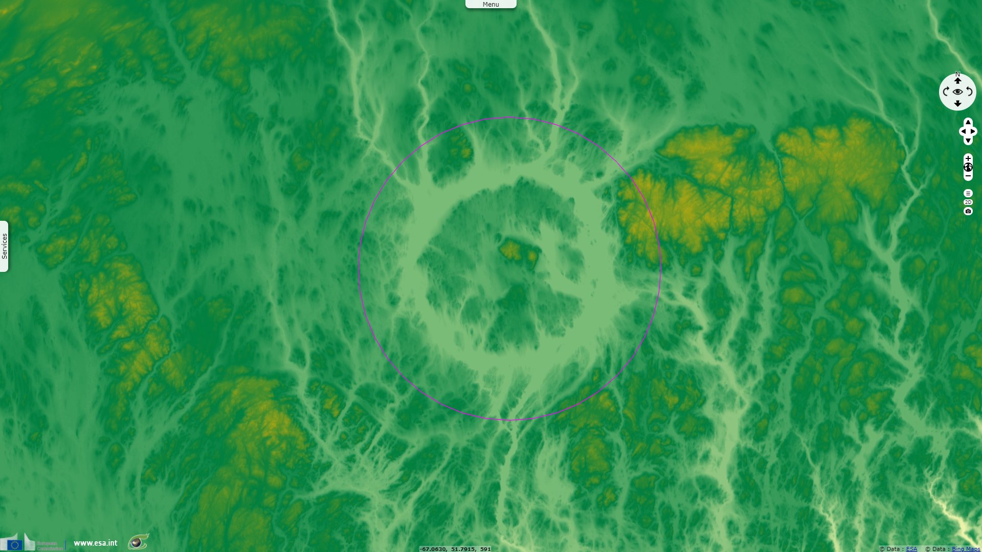
Charles O’Dale, previously president of the Royal Astronomical Society of Canada, described this impact crater as follows: "The structure may be divided into a number of morphologic elements. The most striking is the -70 km diameter annular depression filled by the waters of the Lac Manicouagan reservoir. The annular depression is interpreted as the glacially overdeepened expression of the interior contact between the crater floor and inner blocks of the original rim. In the middle of the lake is a dissected plateau capped by -200 m of impact melt rocks and a series of uplifted peaks -5 km north of the center."
"At the point of impact, the country rocks were instantaneously evaporated/melted/shattered by the energy released leaving a 200 to 600 cubic kilometre sheet of impact melt directly on basement rocks. The target rock in the vicinity of the structure is Grenville age amphibolite to granulite facies quartz and feldspar gneiss, with local anorthosites, metagabbro and metasediments overlain by Ordovician limestones, dolomites, slates and sandstones. The force of the impact exhumed and liquefied these target rocks down to as deep as 9 kilometres."
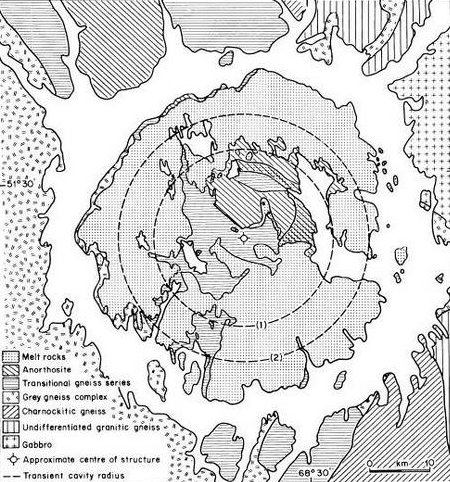
"Geologic sketch map of Manicouagan complex impact structure, Quebec, modified from Currie (1972), Murtaugh (1975). Coherent melt sheet overlies basement and extends beyond rim of transient cavity, estimated radius (1) 15 km, (2) 22 km (Floran and Dence, 1976)" - Source.
"The original crater became a melting pot for relatively young rocks at the surface and for much of the older minerals originally buried kilometres below the site of the impact. The heat released was so intense that it took between 1600 and 5000 years before the melted rocks cooled. Changes in these impactite textures toward the interior of the crater progressively increased in proportion of superheated melt and decreased in fraction of cold fragmented country rock material (Simonds 1976)."
"The impact did trigger a powerful seismic event as Lawrence Tanner from Bloomsburg University recently discovered in a deformed zone of the Fundy Rift Basin. “There have been previous reports attempting to link paleoseismicity, as recorded by soft-sediment deformation features, to impacts,” Tanner explained. “But this is the first instance of linking the Manicouagan impact to the stratigraphic record. The Fundy rift Basin experienced a substantial period of volcanic activity at the time of the Manicouagan impact."
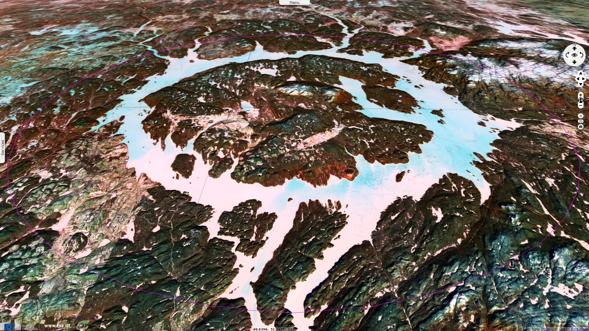
"The Manicouagan multiple-arch buttress dam filled the annular moat to its present depth, creating a circular reservoir for hydro-electric power. This circular lake accentuates the contour of the eroded impact-brecciated ring area of the structure. But the diameter of the original crater was approximately three times the size of this moat."
"Approximately 214 million years ago an estimated 10 kilometre wide hypervelocity meteorite impacted at between 12 and 30 kilometres per second and formed the Manicouagan Impact Crater. The resultant 100 kilometre diameter Manicouagan crater is one of the largest impact craters still preserved on the surface of our planet. For comparison, the Copernicus crater on the moon has a diameter of 93 kilometres and the annular moat of the Manicouagan structure would fit comfortably within the rim of this lunar crater."
At 214 m high, with a crest length of 1314 m, the Daniel-Johnson dam has 13 arches and 14 buttresses and is the largest multiple-arch and buttress dam in the world. Inaugurated in 1968 and commissioned in 1970 as part of the Manic-Outardes project, the dam has a drop height of 150 m and a combined total installed capacity of 2660 MW for Manic-5 and Manic-5-PA power stations.
The views expressed herein can in no way be taken to reflect the official opinion of the European Space Agency or the European Union.
Contains modified Copernicus Sentinel data 2026, processed by VisioTerra.
Contains modified Copernicus Sentinel data 2026, processed by VisioTerra.
| More on European Commission space: |  |
 |
 |
||||
| More on ESA: | |
|
|
S-1 website | S-2 website | S-3 website | |
| More on Copernicus program: | |
|
|
Scihub portal | Cophub portal | Inthub portal | Colhub portal |
| More on VisioTerra: | |
|
|
Sentinel Vision Portal | Envisat+ERS portal | Swarm+GOCE portal | CryoSat portal |