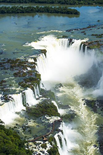
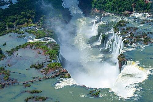
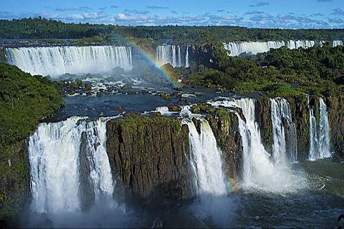
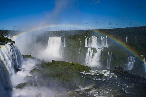
Iguazu falls, World's largest waterfall, between Argentina and Brazil
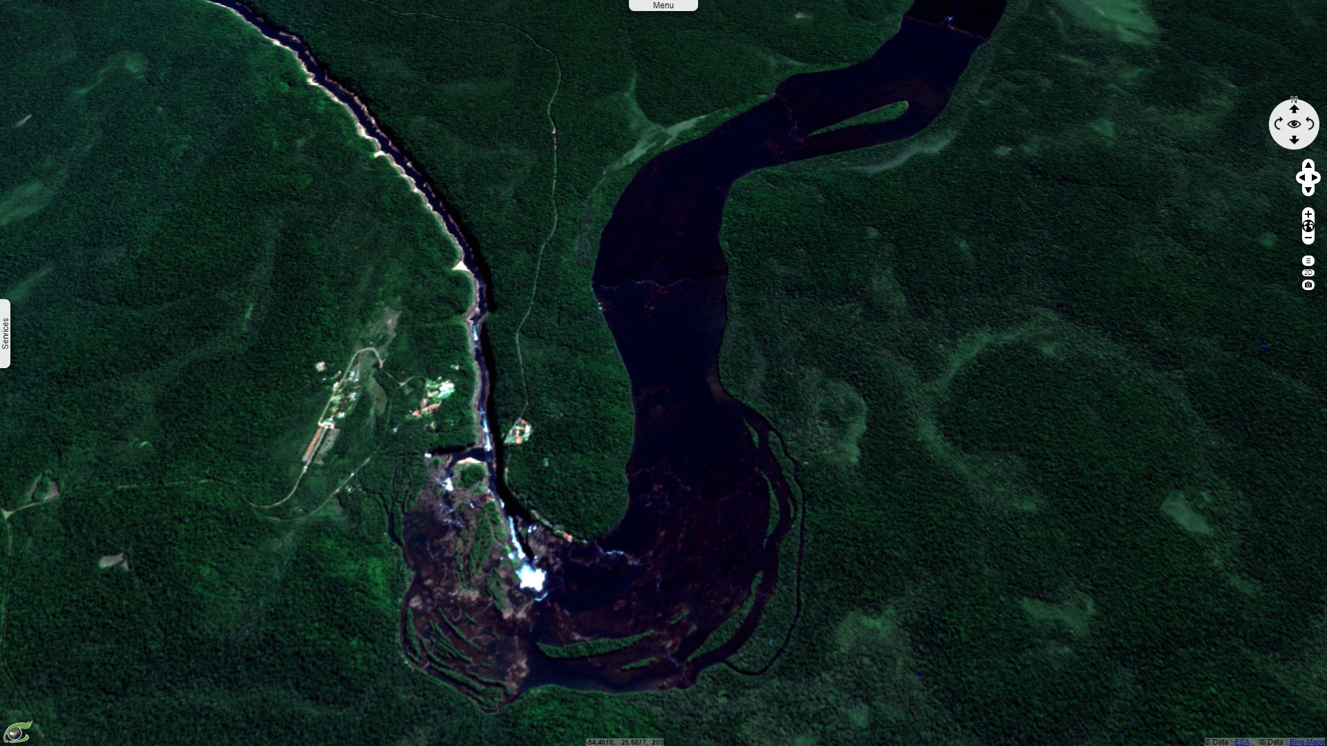
Sentinel-2 MSI acquired on 23 September 2016
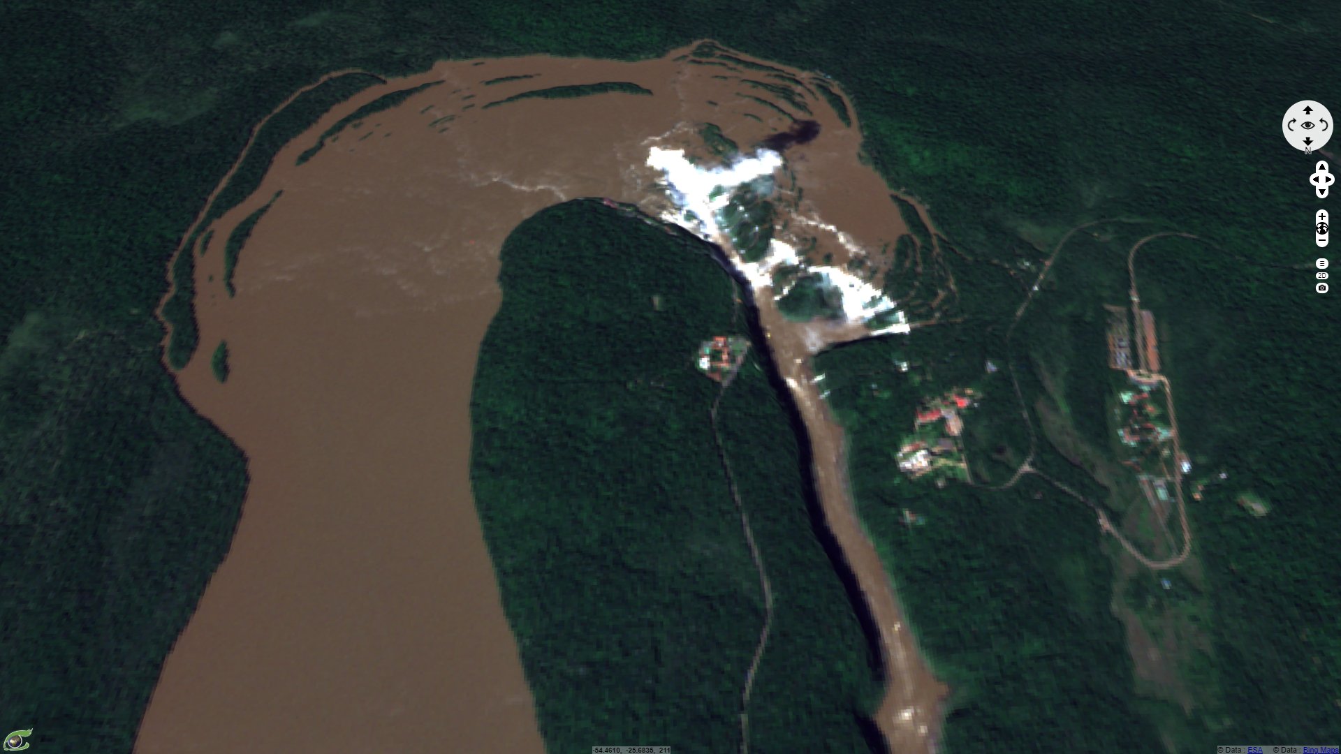
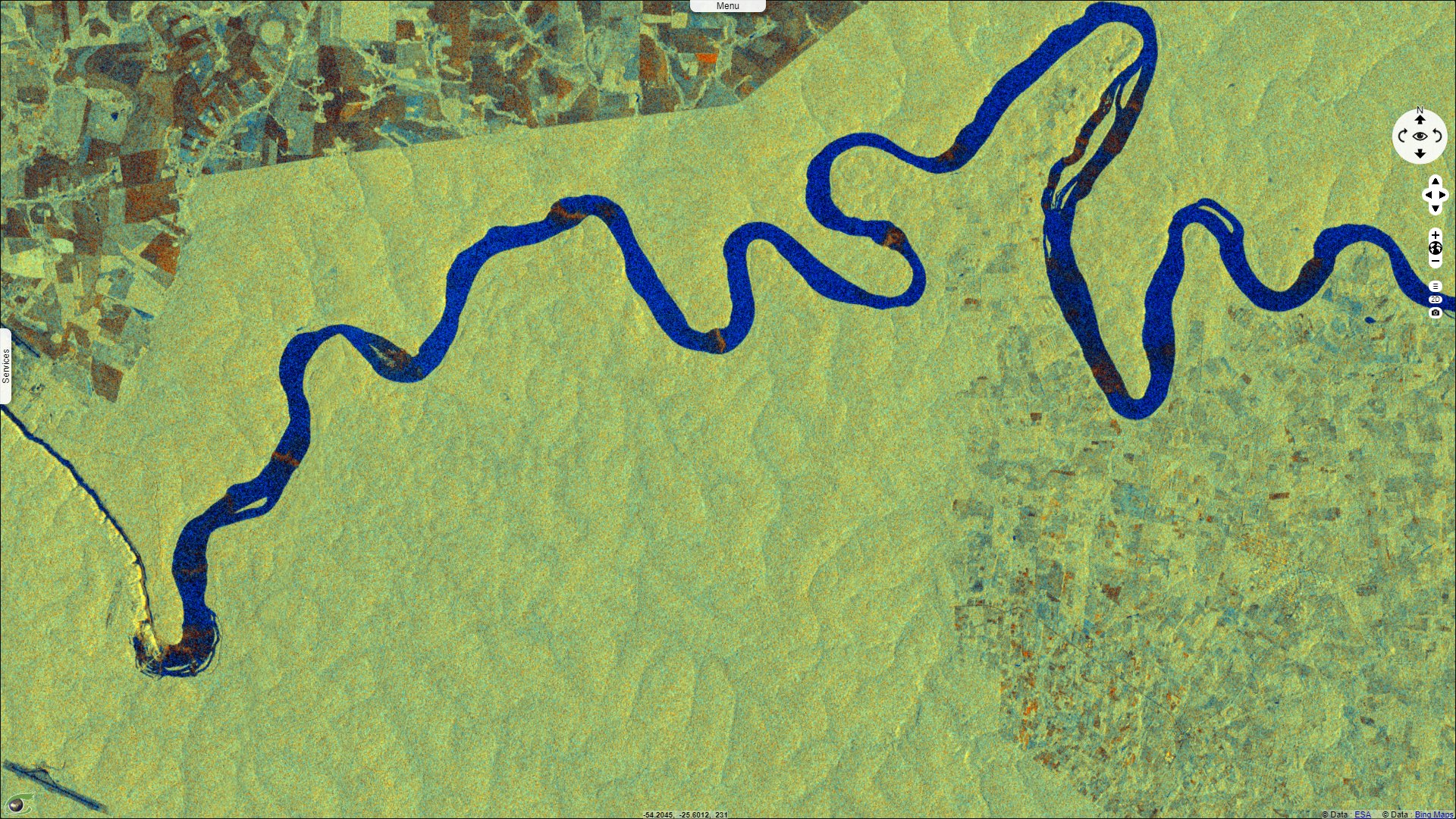
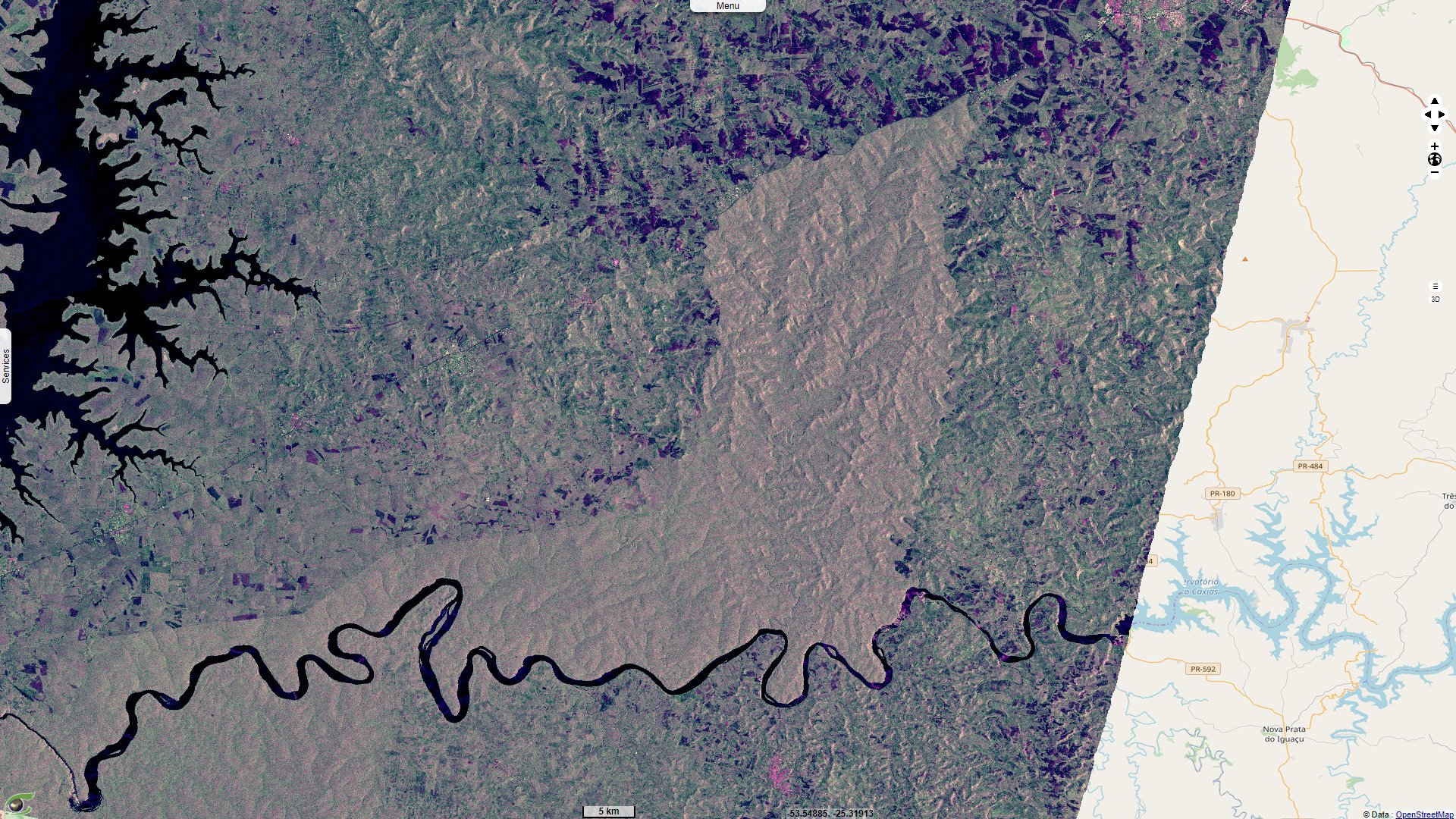
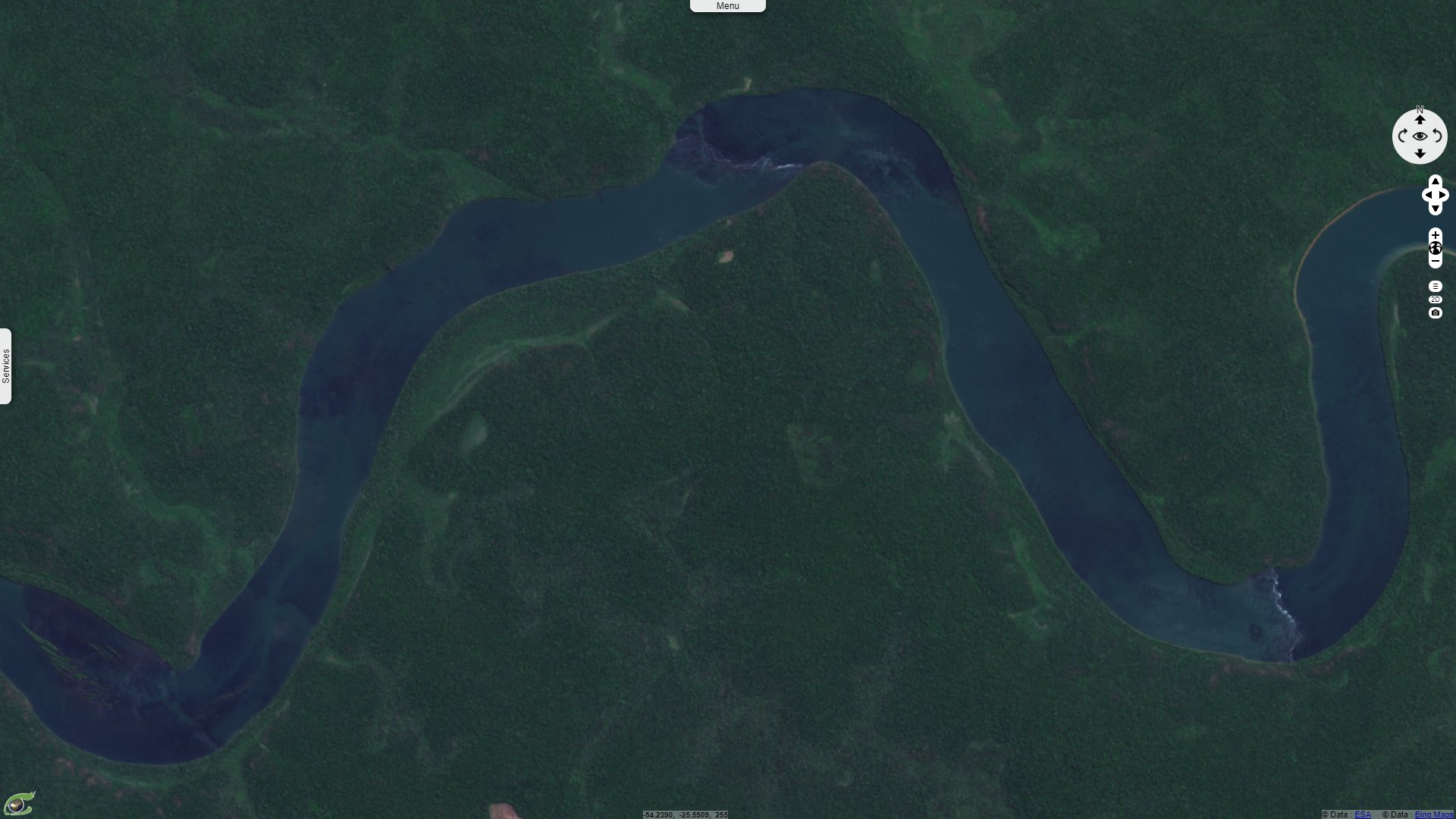
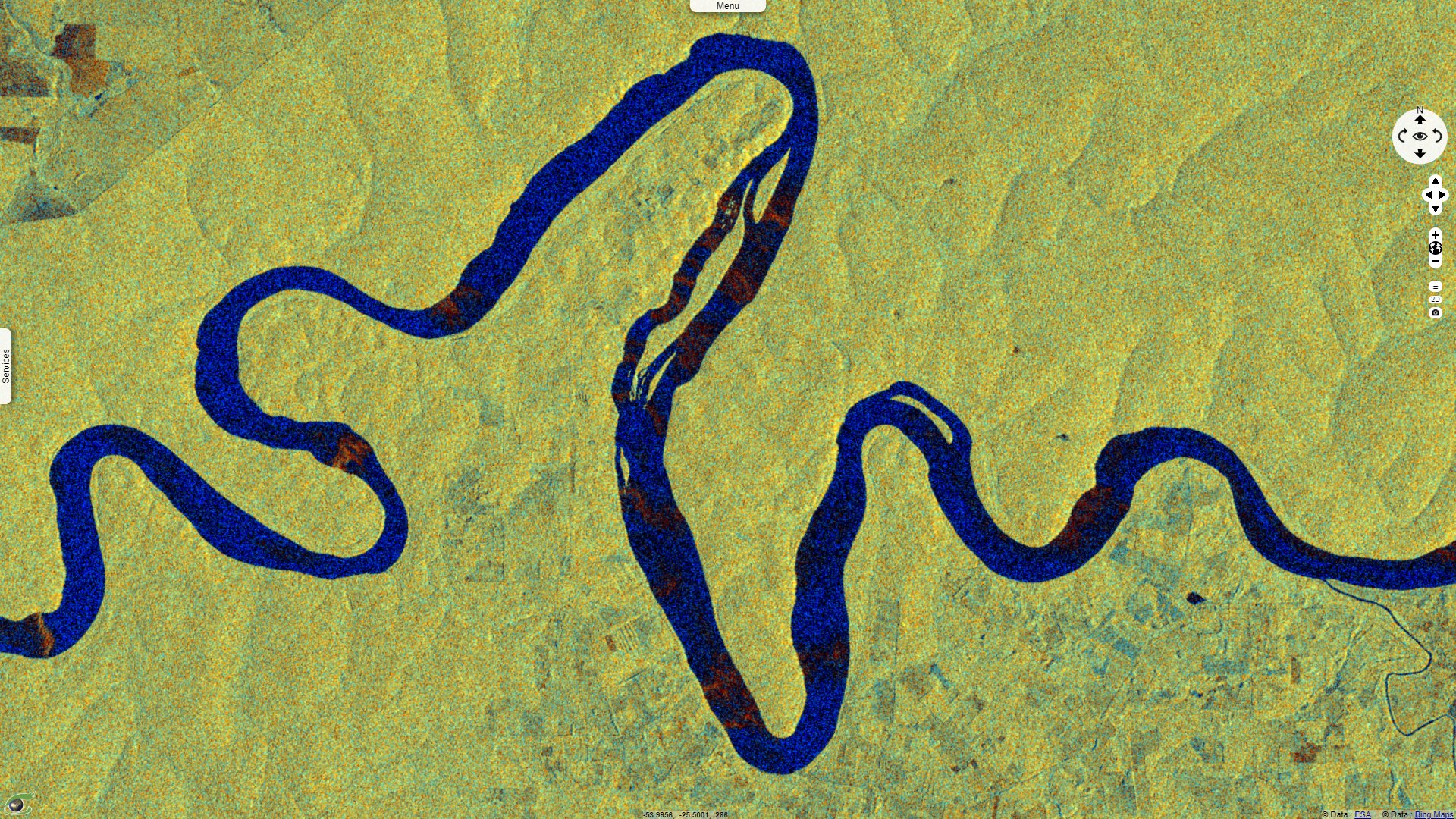
Sentinel-1 CSAR IW acquired on 12 September 2016
...
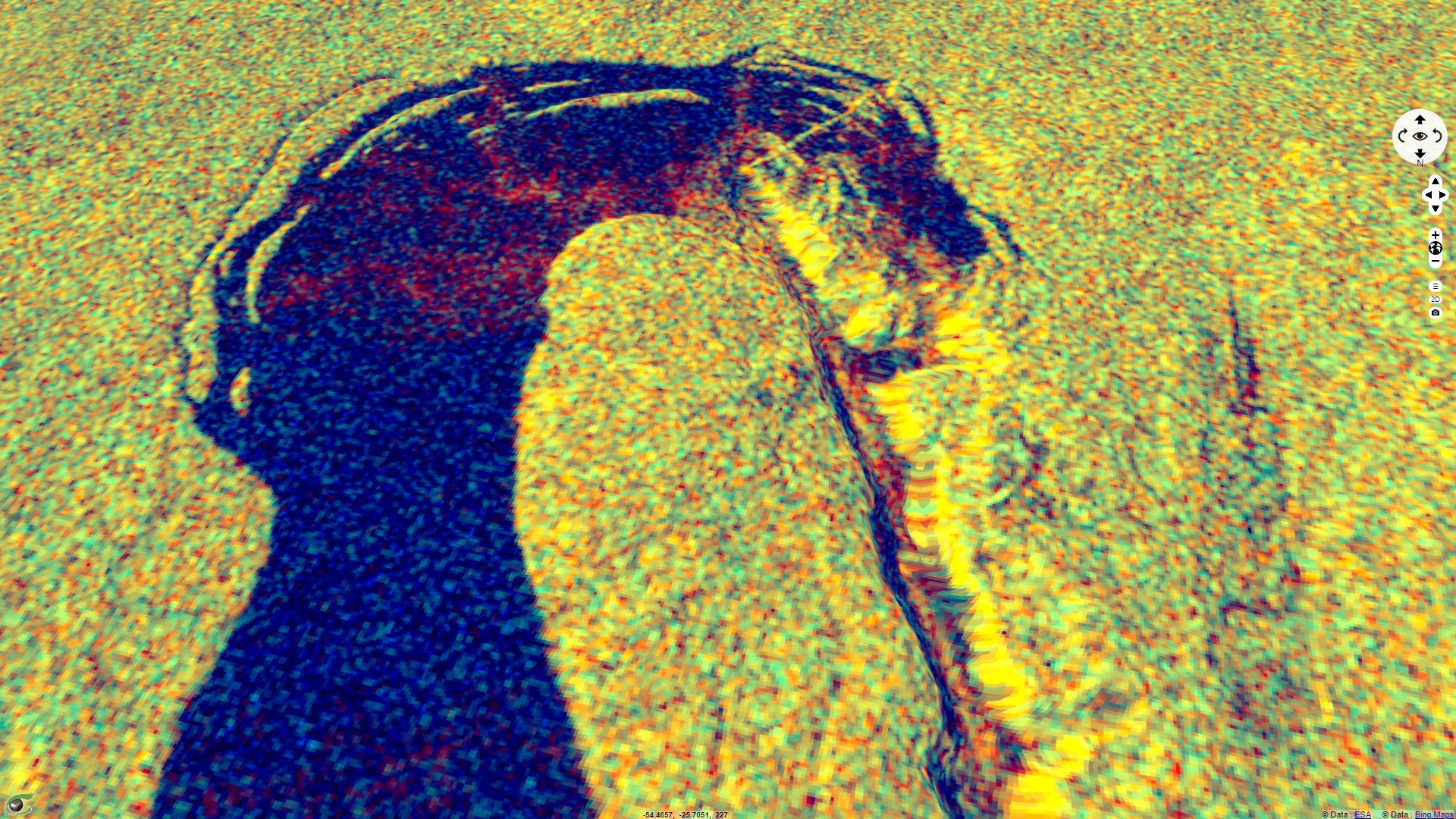
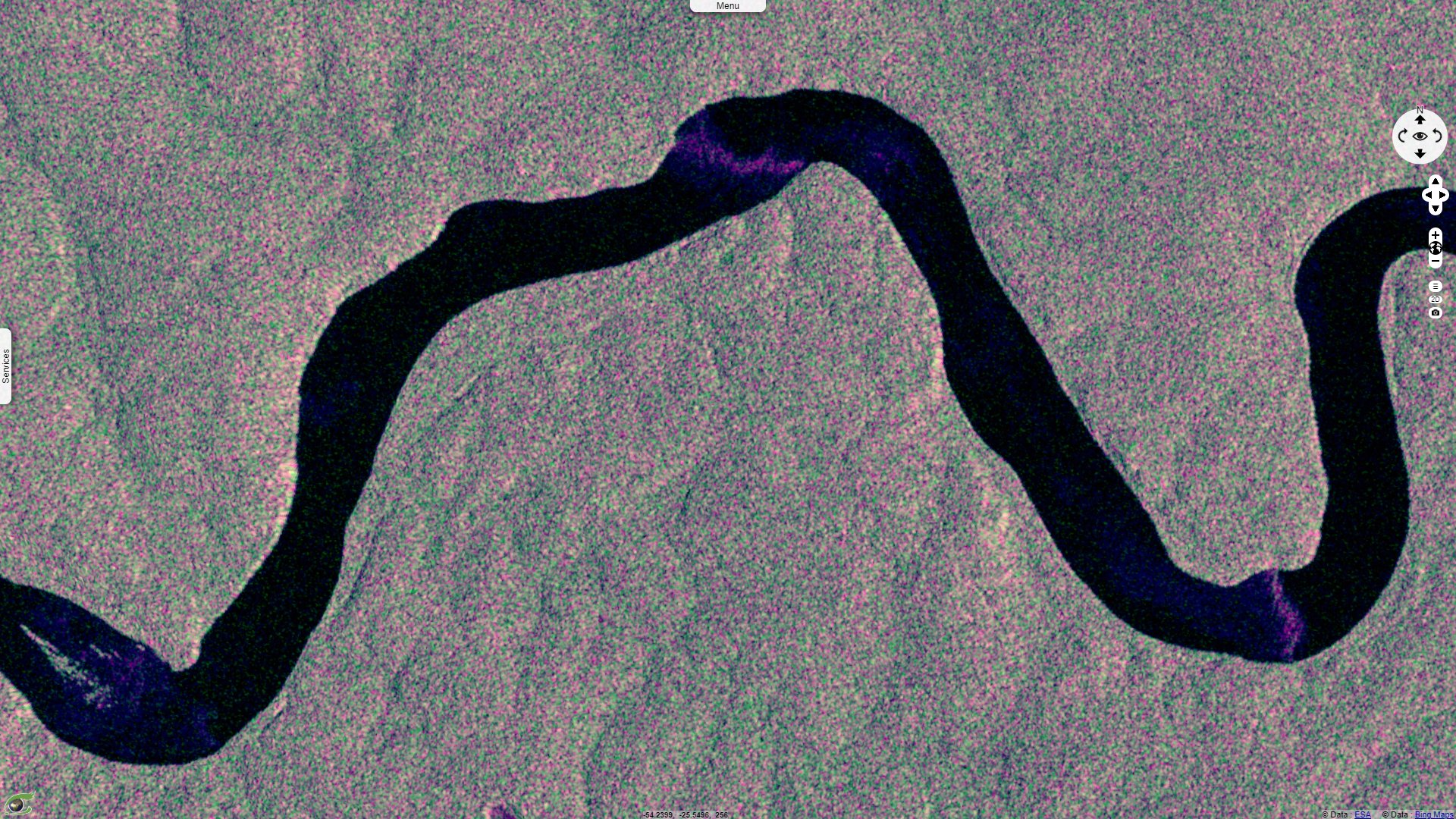
Sentinel-1 CSAR IW acquired on 06 April 2018
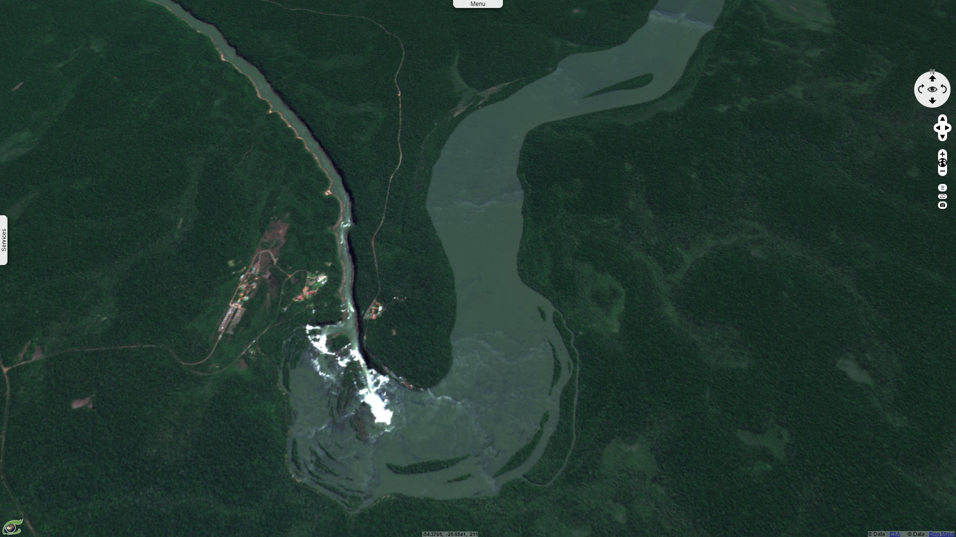
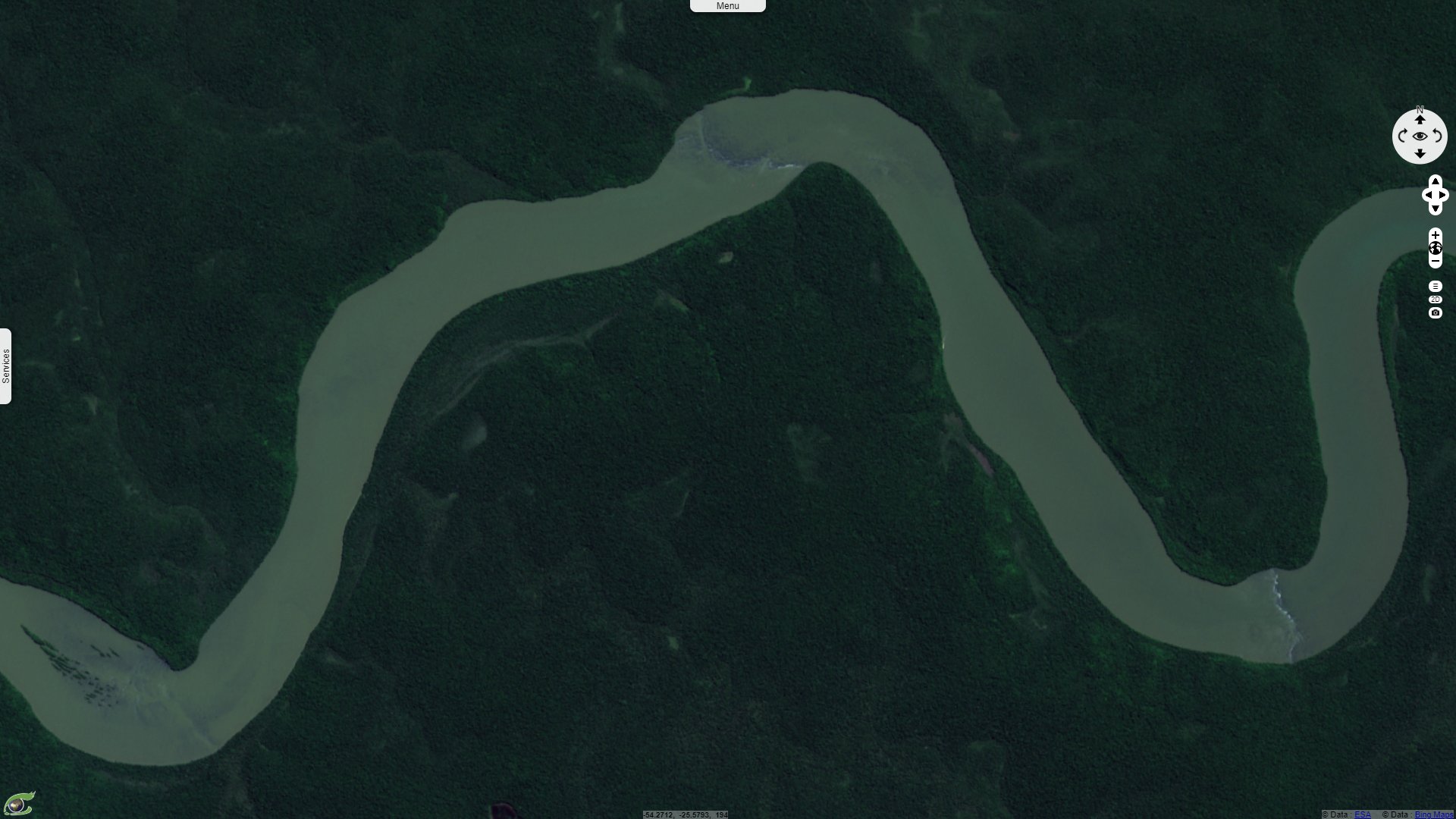
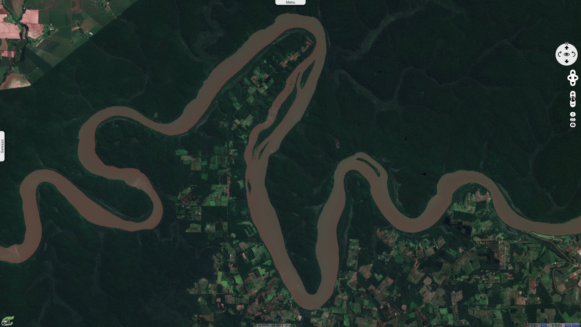
Sentinel-2 MSI acquired on 20 April 2020
Keyword(s): National park, river, hydrology, water colour, biodiversity, tourism, UNESCO World Heritage, Amazon rainforest
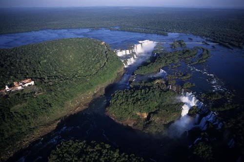
Source: M & G Therin Weise:
Iguazú Falls are formed by 275 waterfalls, the highest being 82m, that forms a front of 3 kilometres. The mean flow rate of the waterfall is 1756 m3/s, almost two-thirds of the flow rate of the Rhine at its mouth. Inside the "J", the Devil's Throat canyon is 80–90 m wide and 70–80 m deep. On the right bank is the Brazilian territory, which is home to more than 95% of the Iguazu River basin but has just over 20% of the jumps of these falls, and the left side jumps are Argentine, which makes up almost 80% of the falls.
On the Argentinian side, the Iguazú National Park is a UNESCO World Heritage since 1984. Its sheet indicates: "Located in Misiones Province in the Northeastern tip of Argentina and bordering the Brazilian state of Parana to the north, Iguazú National Park, jointly with its sister park Iguaçu in Brazil, is among the world’s visually and acoustically most stunning natural sites for its massive waterfalls. It was inscribed on the World Heritage List in 1984. Across a width of almost three kilometres the Iguazú or Iguaçu River, drops vertically some 80 meters in a series of cataracts."
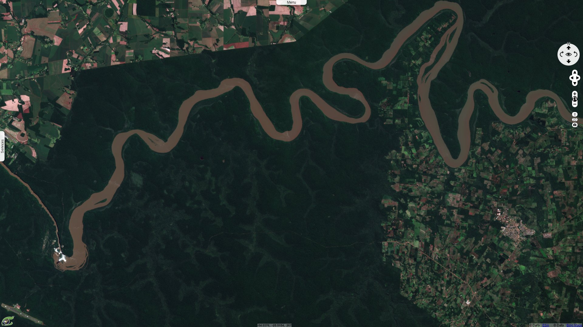
"The river, aptly named after the indigenous term for “great water” forms a large bend in the shape of a horseshoe in the heart of the two parks and constitutes the international border between Argentina and Brazil before it flows into the mighty Parana River less than 25 kilometres downriver from the park. Large clouds of spray permanently soak the many river islands and the surrounding riverine forests, creating an extremely humid micro-climate favouring lush and dense sub-tropical vegetation harbouring a diverse fauna."
"In addition to its striking natural beauty and the magnificent liaison between land and water Iguazu National Park and the neighbouring property constitute a significant remnant of the Atlantic Forest, one of the most threatened global conservation priorities. This forest biome historically covering large parts of the Brazilian coast and extending into Northern Argentina and Uruguay, as well as Eastern Paraguay, is known for its extreme habitat and species diversity, as well as its high degree of endemism."
"Jointly with contiguous Iguaçu National Park in Brazil, which was inscribed on the World Heritage List in 1986, it constitutes contiguous major remnants of the interior Atlantic Forest, once a much larger forest area, along the junction of the Iguaçu and Paraná rivers where Paraguay, Argentina, and Brazil converge."

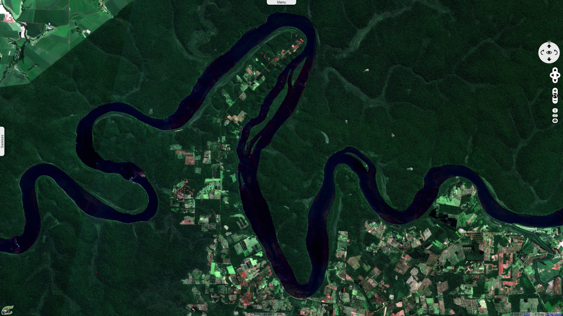
"Today, the parks are mostly surrounded by a landscape that has been strongly altered due to heavy logging, both historically and into the present, the intensification and expansion of both industrial and small-scale agriculture, plantation forestry for pulp and paper and rural settlements. Jointly, the two sister parks total around 240,000 hectares with this property’s contribution being c. 67,000 hectares."
"Around 2000 plant species, including some 80 tree species have been suggested to occur in the property along with around 400 bird species, Both Parks also comprise semi-deciduous subtropical rainforests with a high degree of diversity and endemism, harboring Around 2000 plant species, including some 80 tree species have been suggested to occur in the property along with around 400 bird species, harpy eagle, the toucan, the broad-snouted caiman, tegu lizards, coral snake, land and water turtles, giant anteater, tapir, capybara, howler monkey, ocelot, puma, crab-eating fox and the jaguar. Next to the waterfalls along the river and on the islands a highly specialized ecosystem full of life has evolved in response to the extreme conditions of the tumbling water and soaking humidity."
The World Heritage sheet dedicated to the Iguaçu National Park, on the Brazilian side, adds: "The landscape is the result of volcanic processes dating back 500 million years, which forged its stunning geomorphological features. The Park's main attraction – and a major destination for international and domestic tourism – is the impressive waterfalls system of the Iguaçu (or Iguazú) river, renowned for its visual and acoustic beauty, which spans nearly three kilometers with vertical drops of up to 80 meters."
"Water levels are artificially regulated by power plants upriver, causing scenic and ecological impacts. The water levels are monitored in order to mitigate and prevent impacts. Tourism management is a key task in the property minimizing the direct and indirect impacts of heavy visitation and maximizing the opportunities in terms of awareness-raising for nature conservation and conservation financing."
"Both parks share long-term conservation strategies and greatly benefit from joint collaboration and close cooperation. Future management may have to develop longer-term scenarios and to strike a balance between conservation and other land and resource use so as to maintain or restore the connectivity of the landscape."
The views expressed herein can in no way be taken to reflect the official opinion of the European Space Agency or the European Union.
Contains modified Copernicus Sentinel data 2026, processed by VisioTerra.
Contains modified Copernicus Sentinel data 2026, processed by VisioTerra.
| More on European Commission space: |  |
 |
 |
||||
| More on ESA: | |
|
|
S-1 website | S-2 website | S-3 website | |
| More on Copernicus program: | |
|
|
Scihub portal | Cophub portal | Inthub portal | Colhub portal |
| More on VisioTerra: | |
|
|
Sentinel Vision Portal | Envisat+ERS portal | Swarm+GOCE portal | CryoSat portal |