Tonga volcano causes the largest eruption in 30 years - local impact
Sentinel-2 MSI acquired on 03 December 2021 at 21:59:11 UTC
...
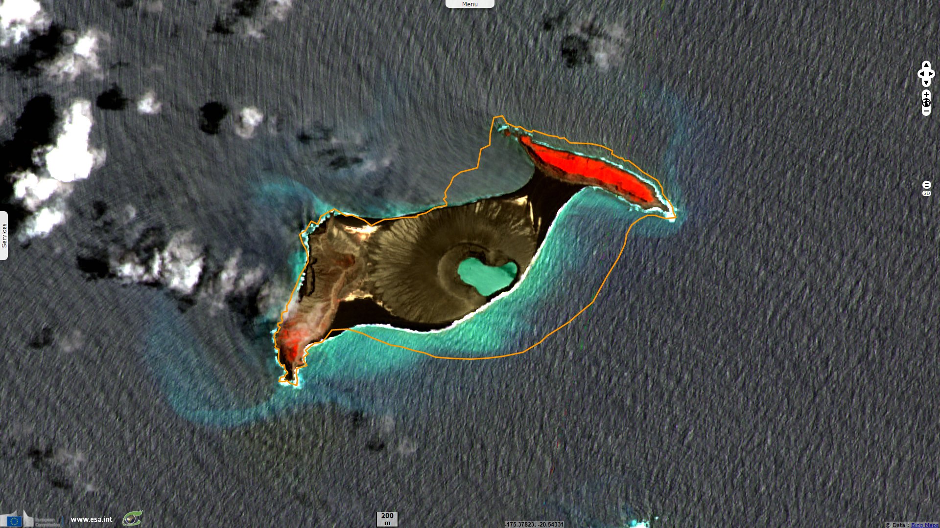
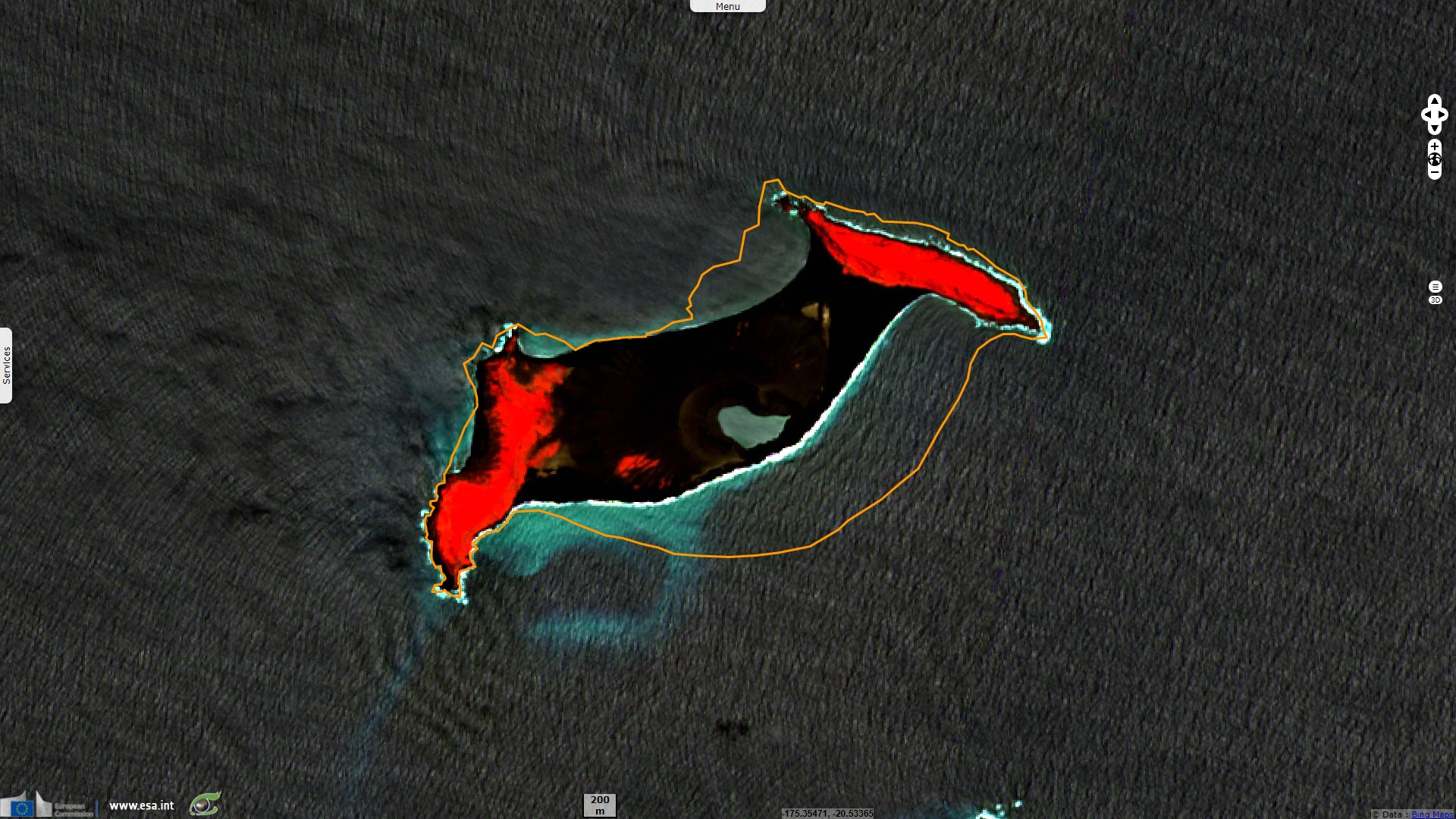
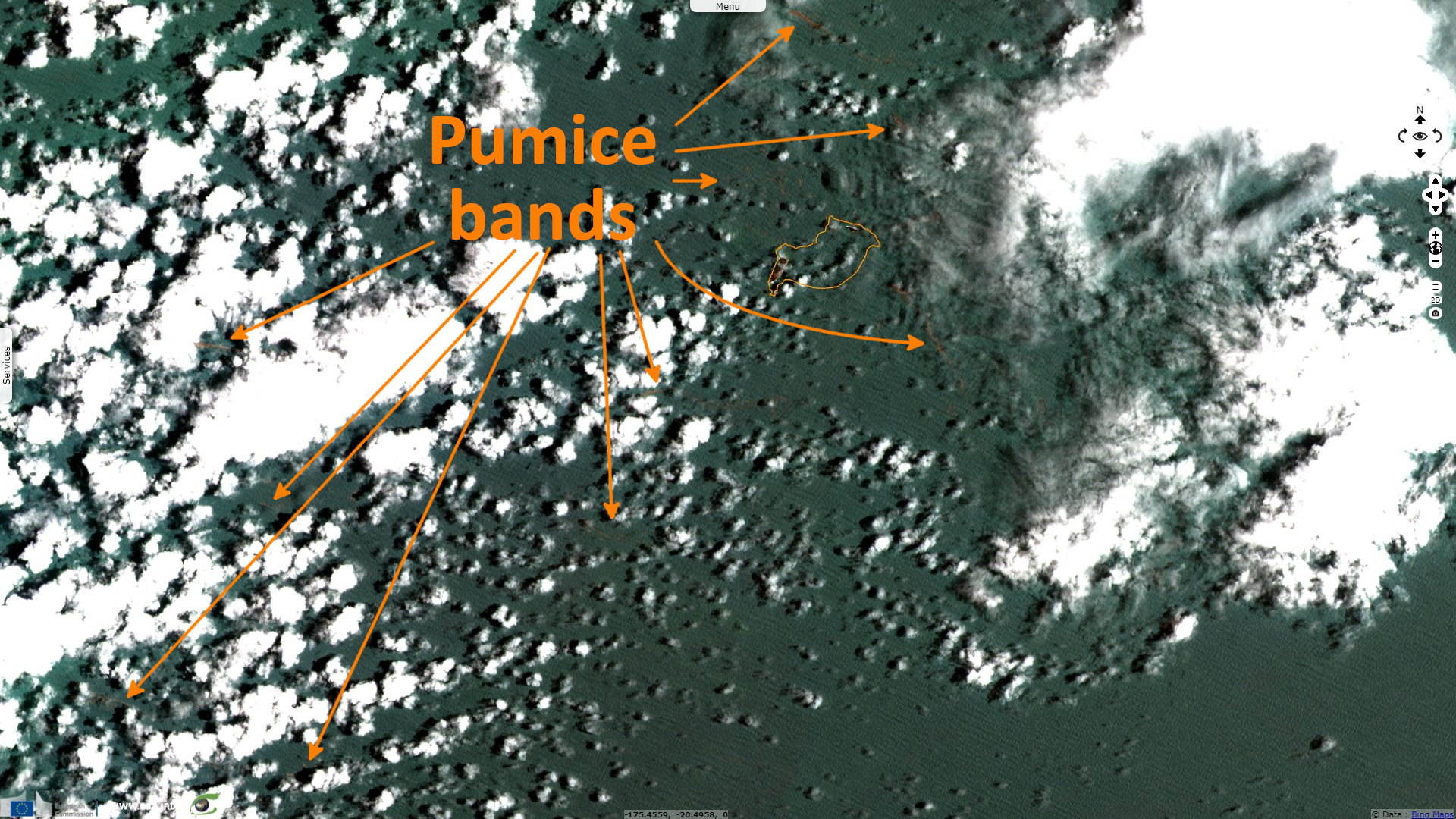
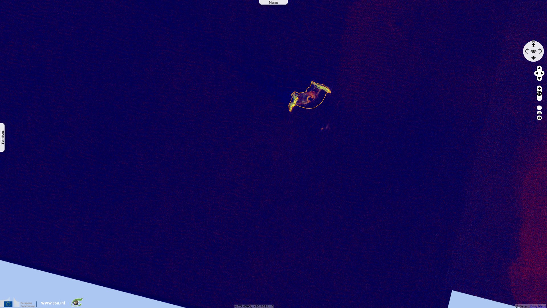
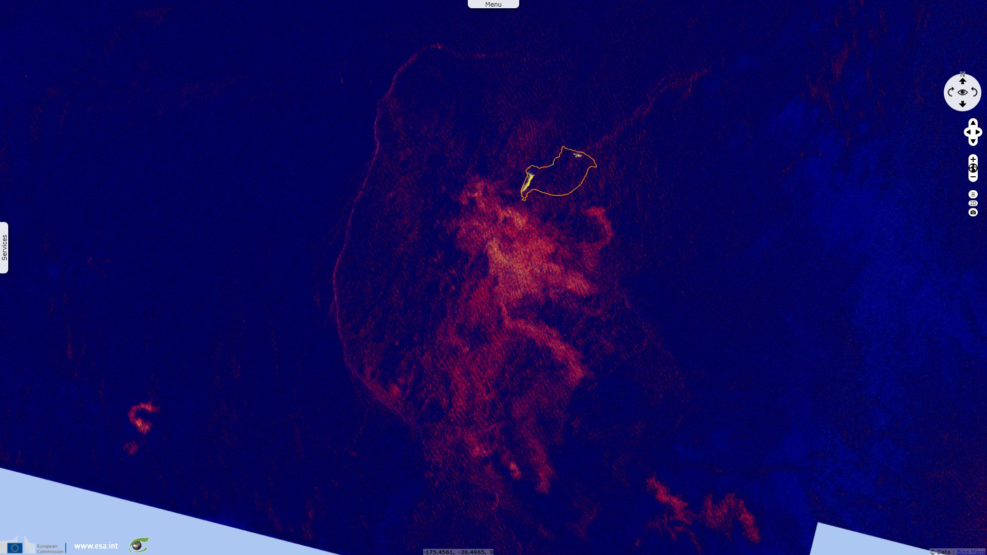
Sentinel-1 CSAR IW acquired on 10 December 2021 at 17:08:38 UTC
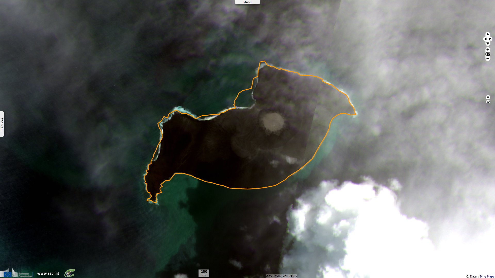
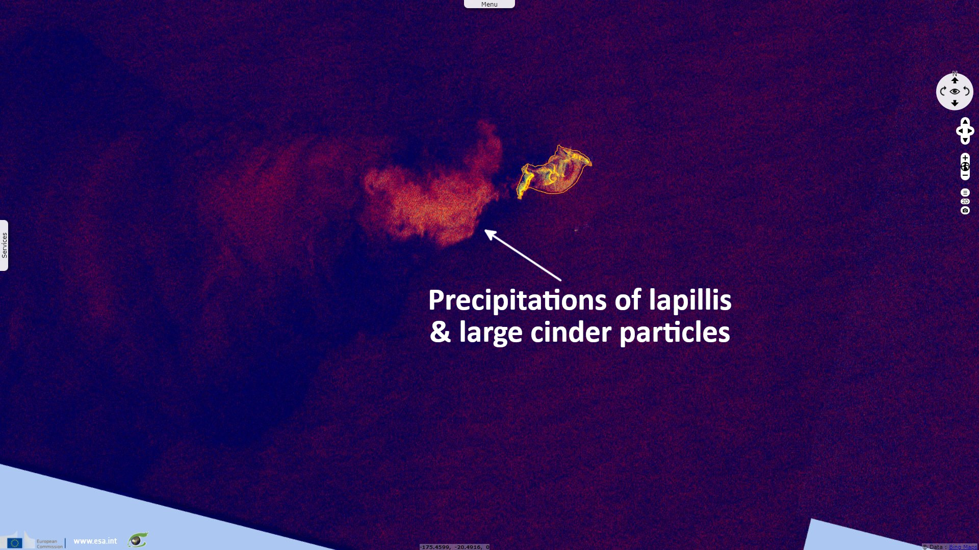
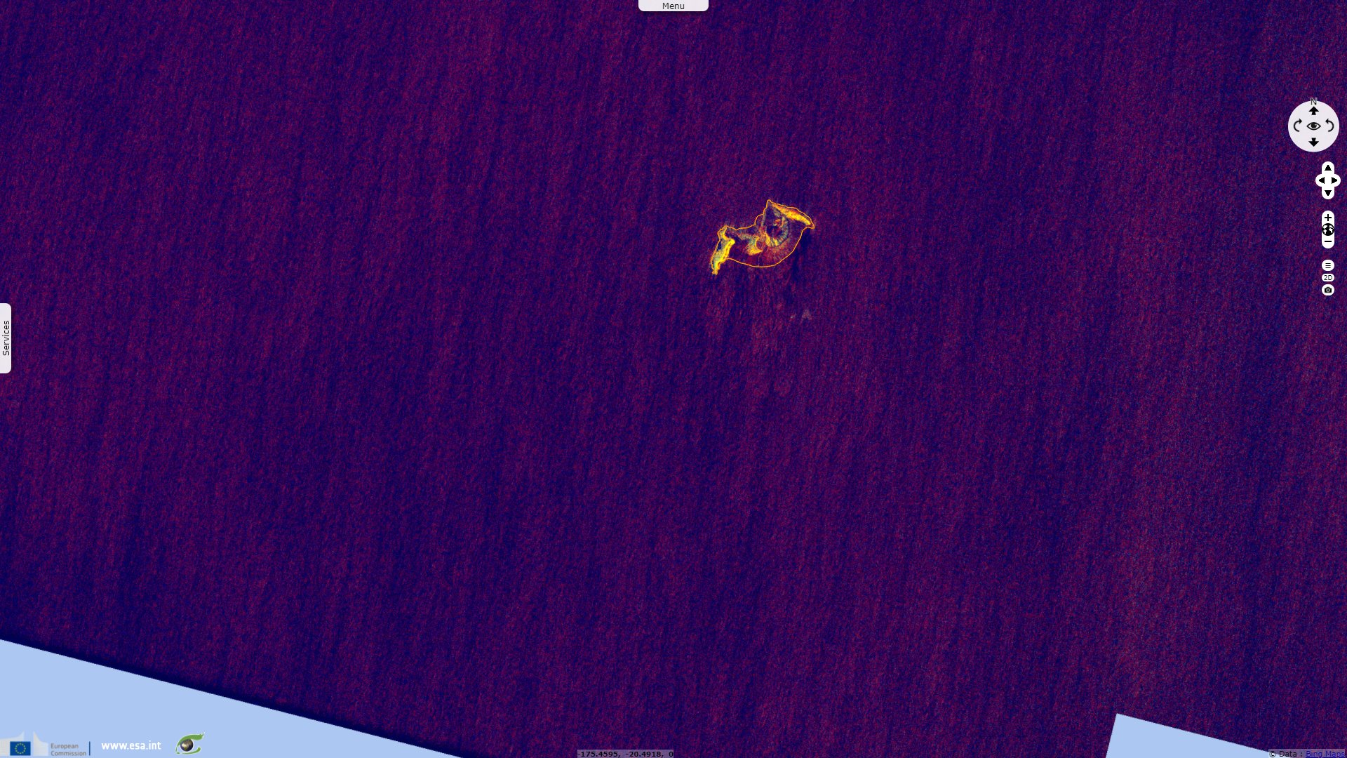
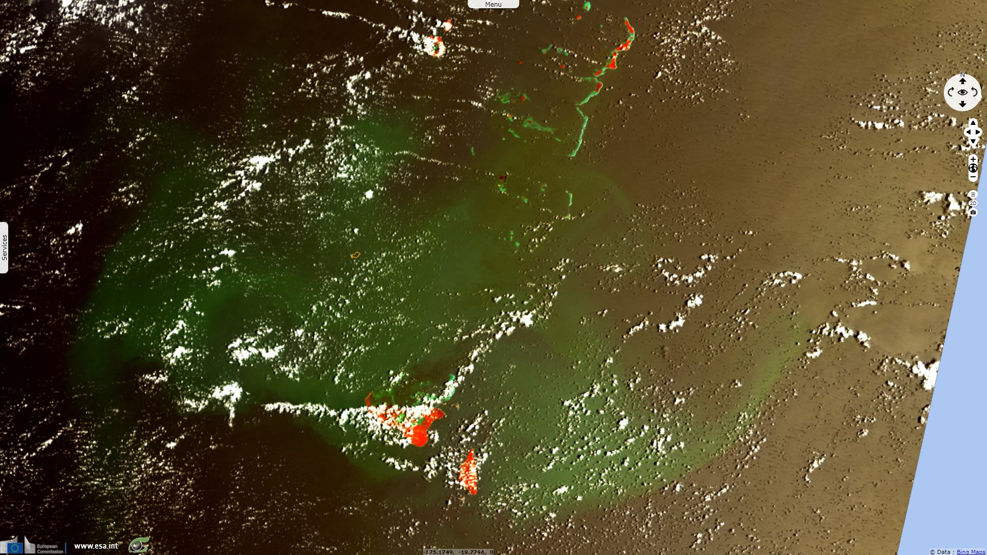
Sentinel-2 MSI acquired on 17 January 2022 at 21:59:09 UTC
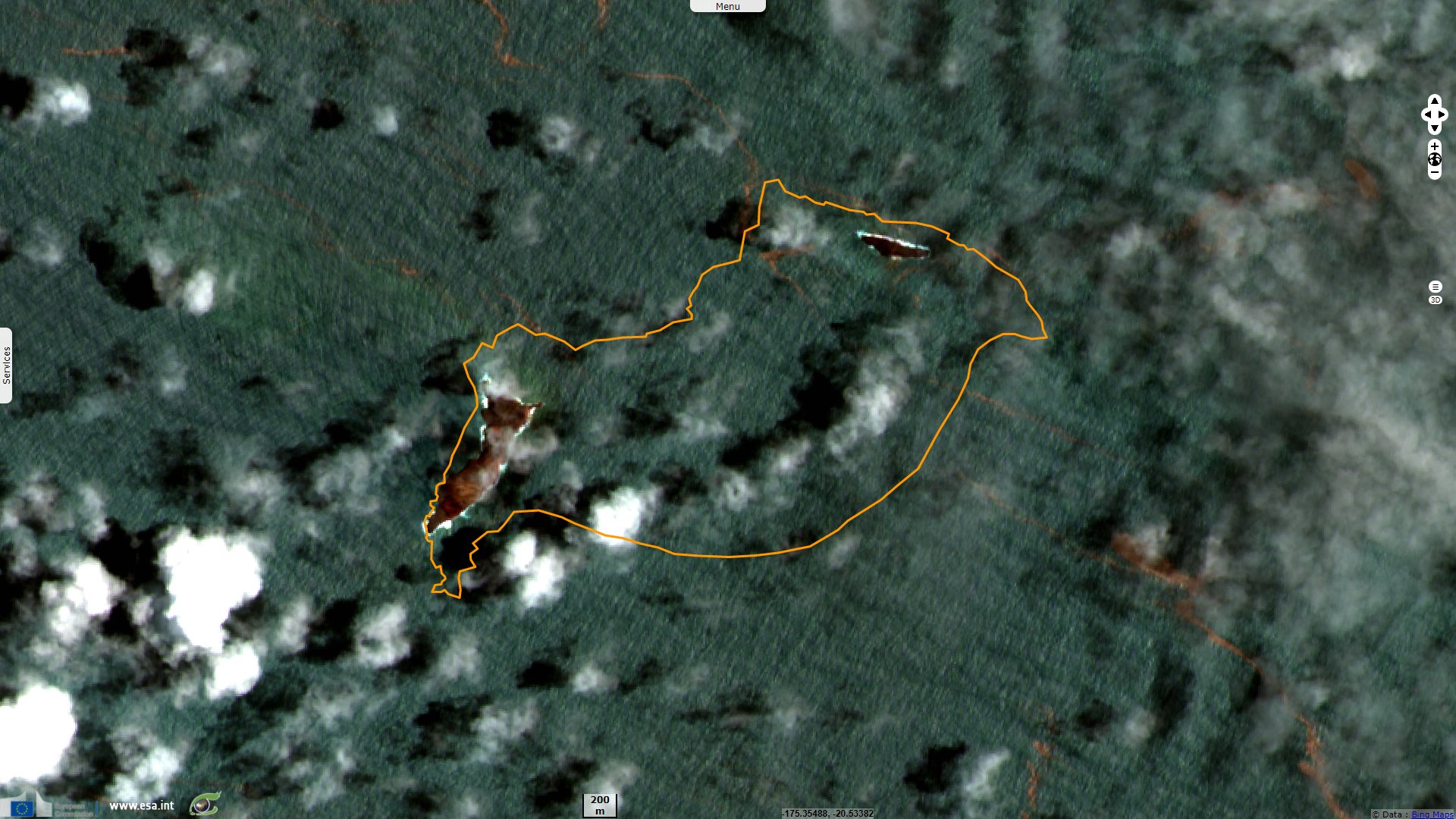
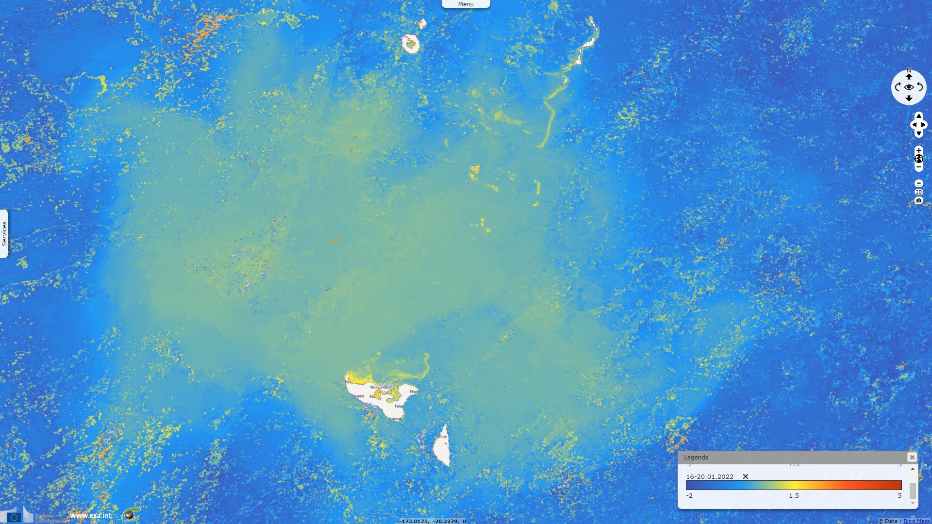
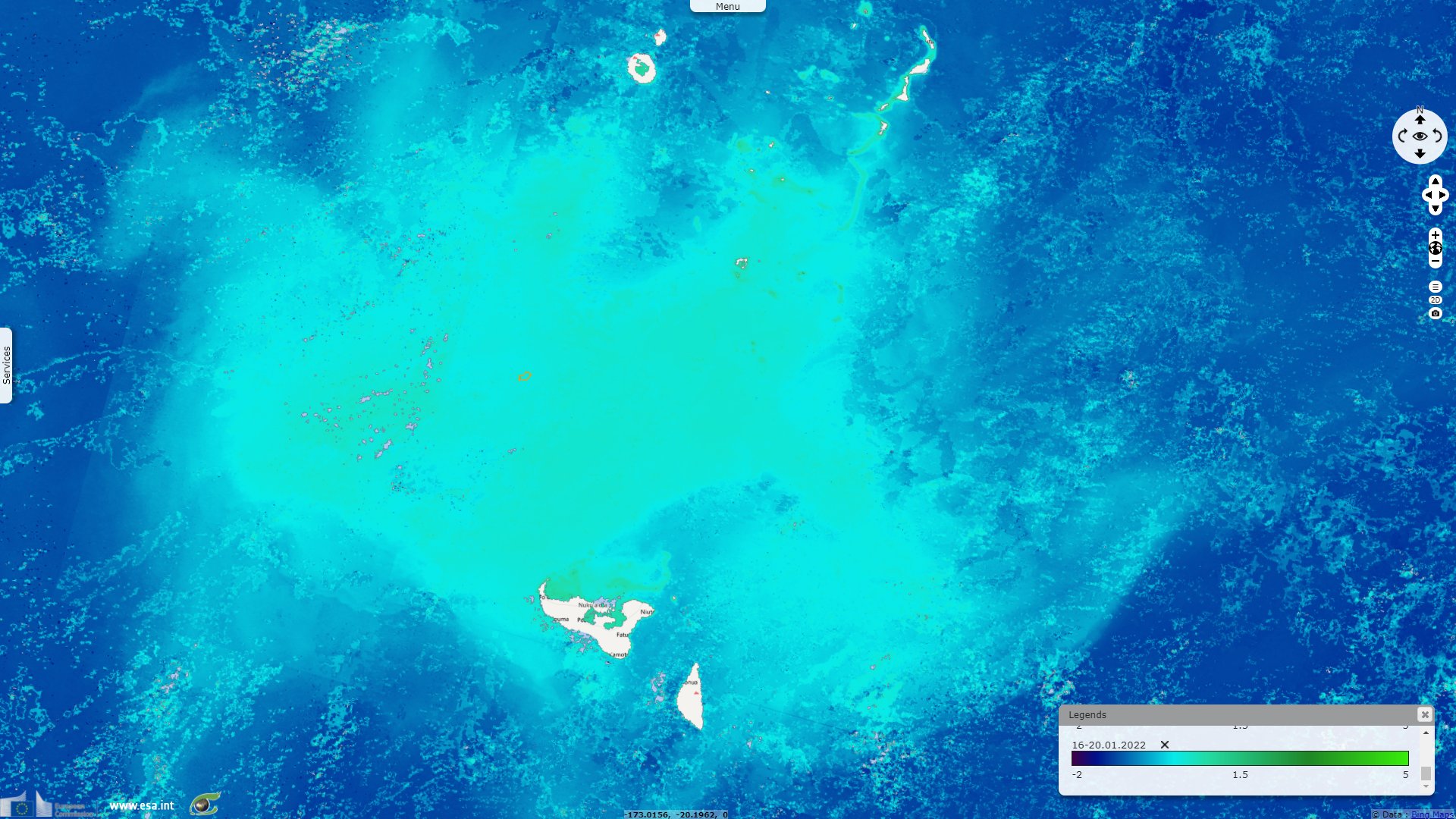
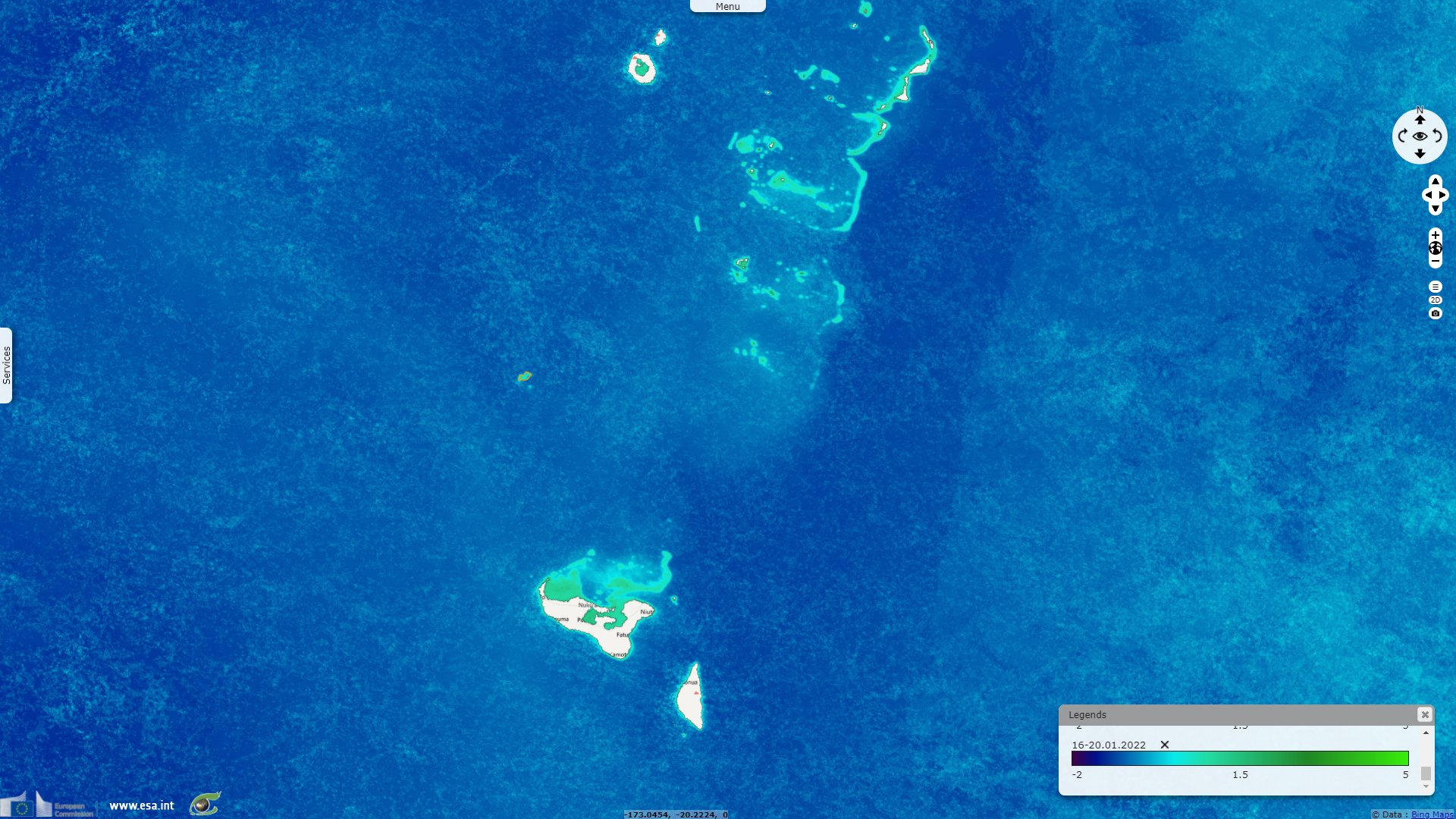
Sentinel-3 OLCI FR & WFR acquired on 19 January 2022 at 21:16:14 UTC
...
Sentinel-1 CSAR IW acquired on 10 December 2021 at 17:08:38 UTC
Sentinel-2 MSI acquired on 17 January 2022 at 21:59:09 UTC
Sentinel-3 OLCI FR & WFR acquired on 19 January 2022 at 21:16:14 UTC
Keyword(s): Eruption, natural disaster, emergency, volcano, atmosphere, tsunami, water colour, Tonga, Pacific Ring of Fire
Donna Lu, Nick Evershed and Josh Nicholas reported in the Guardian a massive eruption in Tonga islands: "The undersea volcano is located about 65 km north of Tonga’s capital, Nuku’alofa, and is part of a vast arc of volcanoes and ocean trenches known as the Pacific “Ring of Fire”. Though it only rises 114 metres above sea level, the Hunga Tonga-Hunga Ha’apai volcano overall is 1.8 km high and 20km wide."
"A public notice issued by the Tonga Geological Services notes continuous eruption and a 5 km-wide plume. The volcano had been active since an earlier eruption on 20 December but was declared dormant by the authority on 11 January."
"Volcanic activity in 2014 and 2015 had joined the islands of Hunga Tonga and Hunga Ha’apai, which were themselves produced by older volcanic eruptions. A satellite image taken after the eruption shows that the connecting volcanic cone has been largely destroyed."
"The Hunga Tonga-Hunga Ha’apai volcano erupted again at 5.10pm local time on Saturday 15 January. The initial height of the ash plume is an estimated 15.2km in altitude, later rising up to 30 km high. The plume spreads to 260 km in diameter before being distorted by wind."
The Japanese media Nikkei Asia continues: "Shock waves from the eruption, which experts described as a "once-in-a-century" event, rippled through Earth's atmosphere and the Pacific Ocean. The eruption was estimated at 6 on the Volcanic Explosivity Index (VEI), an index that runs from 0 to 8 and is used to measure the scale of eruptions. It was the first level-6 event since the 1991 eruption of Mount Pinatubo in the Philippines".
The views expressed herein can in no way be taken to reflect the official opinion of the European Space Agency or the European Union.
Contains modified Copernicus Sentinel data 2026, processed by VisioTerra.
Contains modified Copernicus Sentinel data 2026, processed by VisioTerra.
| More on European Commission space: |  |
 |
 |
||||
| More on ESA: | |
|
|
S-1 website | S-2 website | S-3 website | |
| More on Copernicus program: | |
|
|
Scihub portal | Cophub portal | Inthub portal | Colhub portal |
| More on VisioTerra: | |
|
|
Sentinel Vision Portal | Envisat+ERS portal | Swarm+GOCE portal | CryoSat portal |