Lake Nokoue, fishing ground near the urban heart of Benin
Sentinel-2 MSI acquired on 12 December 2016 at 10:04:12 UTC
...
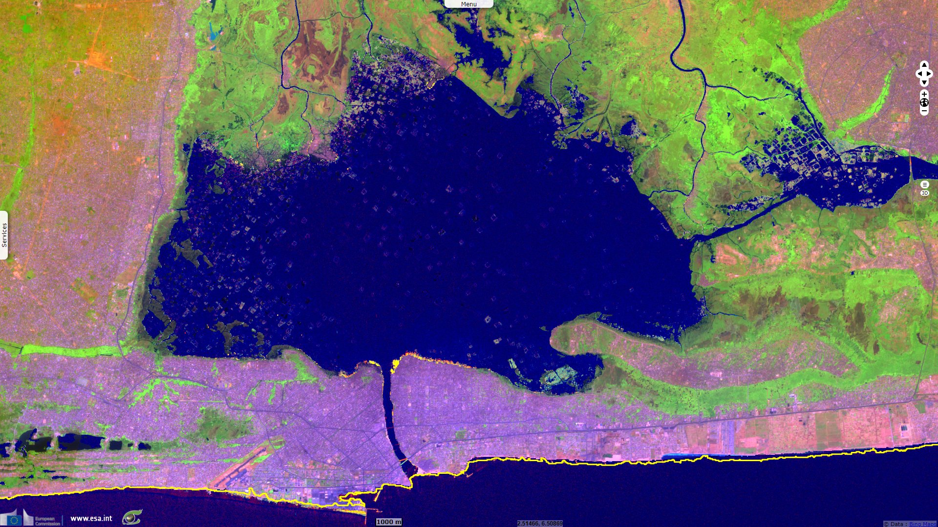
Sentinel-2 MSI acquired on 25 January 2022 at 10:03:11 UTC
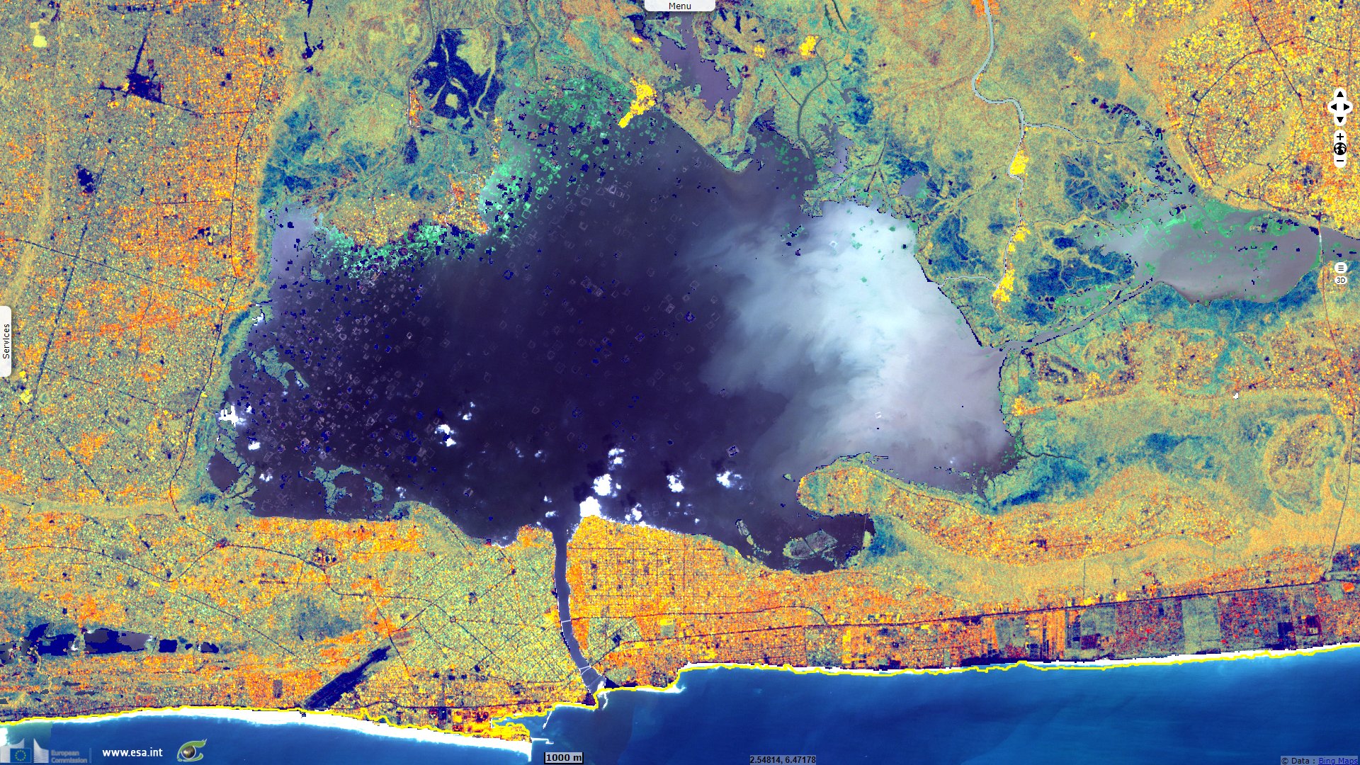
Sentinel-1 CSAR IW acquired on 18 February 2022 at 18:10:08 UTC
...
Sentinel-2 MSI acquired on 25 January 2022 at 10:03:11 UTC
Sentinel-1 CSAR IW acquired on 18 February 2022 at 18:10:08 UTC
Keyword(s): Lake, natural resources, fishing, aquaculture, Ramsar site, lake, Benin
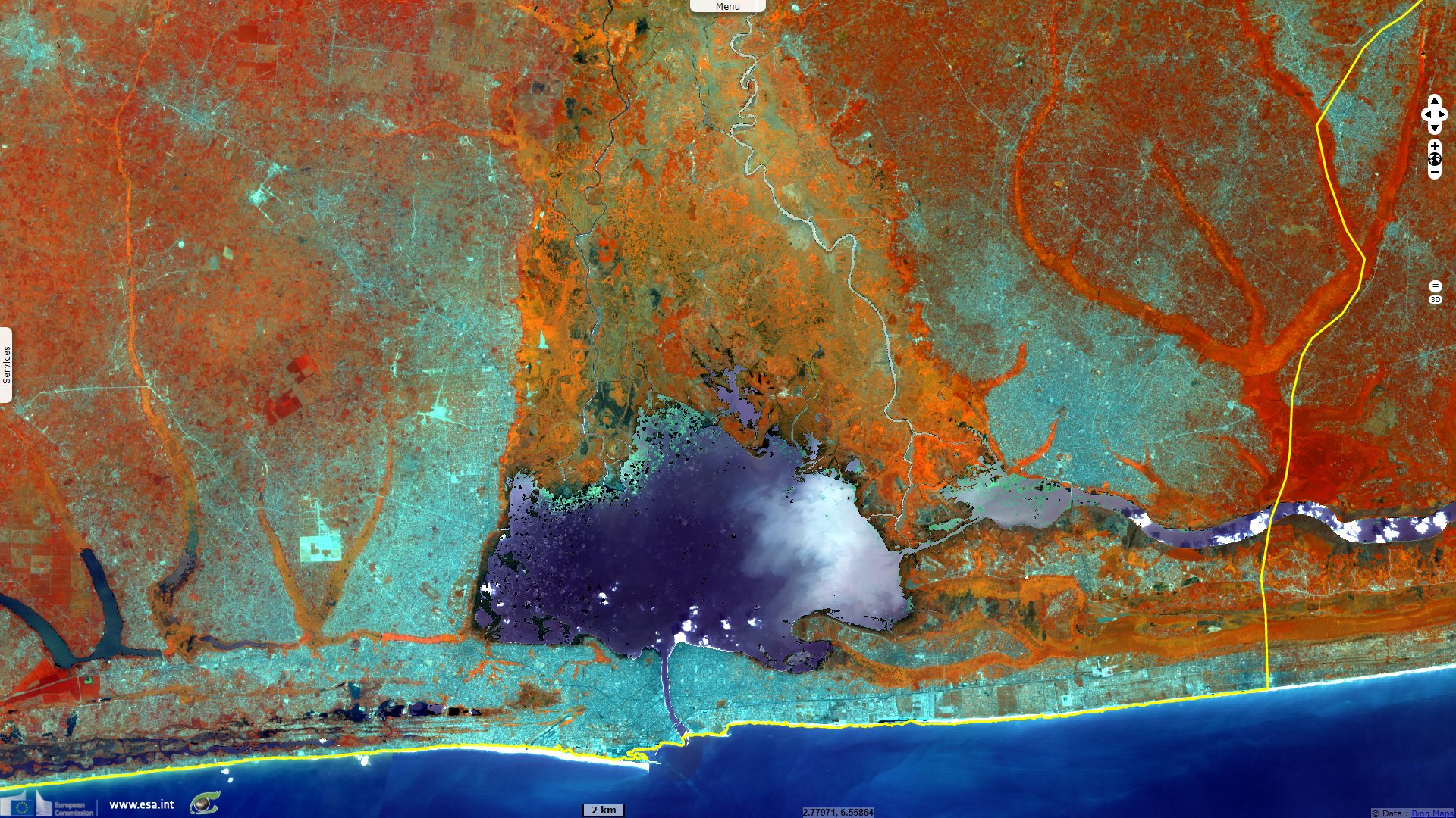
Over 30 species of fish are caught here. The cichlid, clupeid & penaeid families account for 85% of the catch. Fishing became less flourishing during the 1990s, due to the increase in the number of fishermen on the lake.
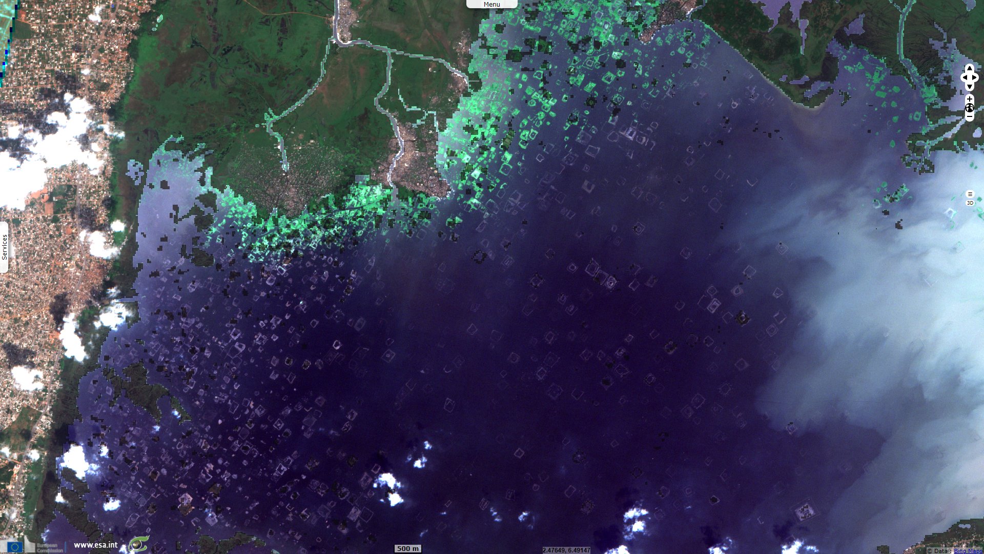
But with the upsurge of fish breeding, the spaces covered with acadja become exclusive and even transferable properties for some alleged owners.
The views expressed herein can in no way be taken to reflect the official opinion of the European Space Agency or the European Union.
Contains modified Copernicus Sentinel data 2026, processed by VisioTerra.
Contains modified Copernicus Sentinel data 2026, processed by VisioTerra.
| More on European Commission space: |  |
 |
 |
||||
| More on ESA: | |
|
|
S-1 website | S-2 website | S-3 website | |
| More on Copernicus program: | |
|
|
Scihub portal | Cophub portal | Inthub portal | Colhub portal |
| More on VisioTerra: | |
|
|
Sentinel Vision Portal | Envisat+ERS portal | Swarm+GOCE portal | CryoSat portal |