Water cycle in Khartoum, the 3 cities with 3 Niles
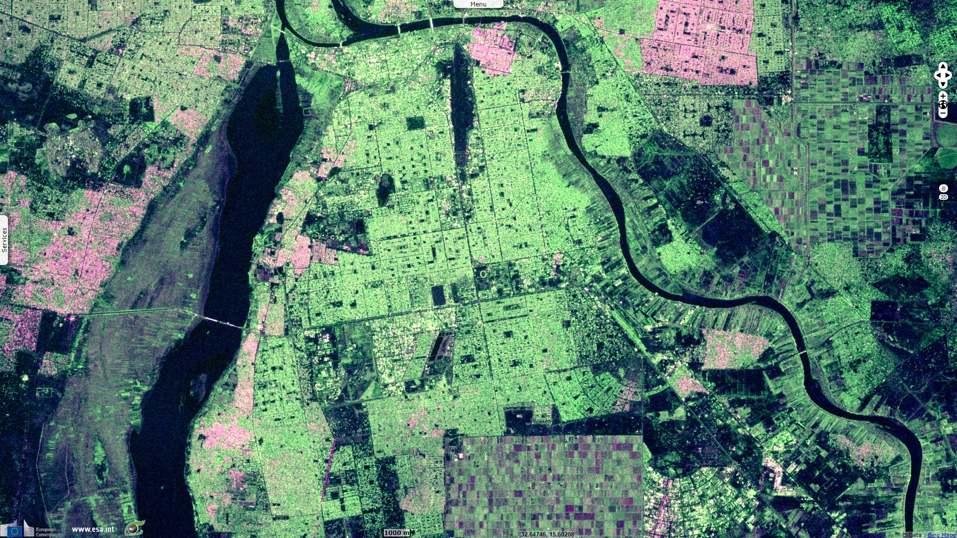
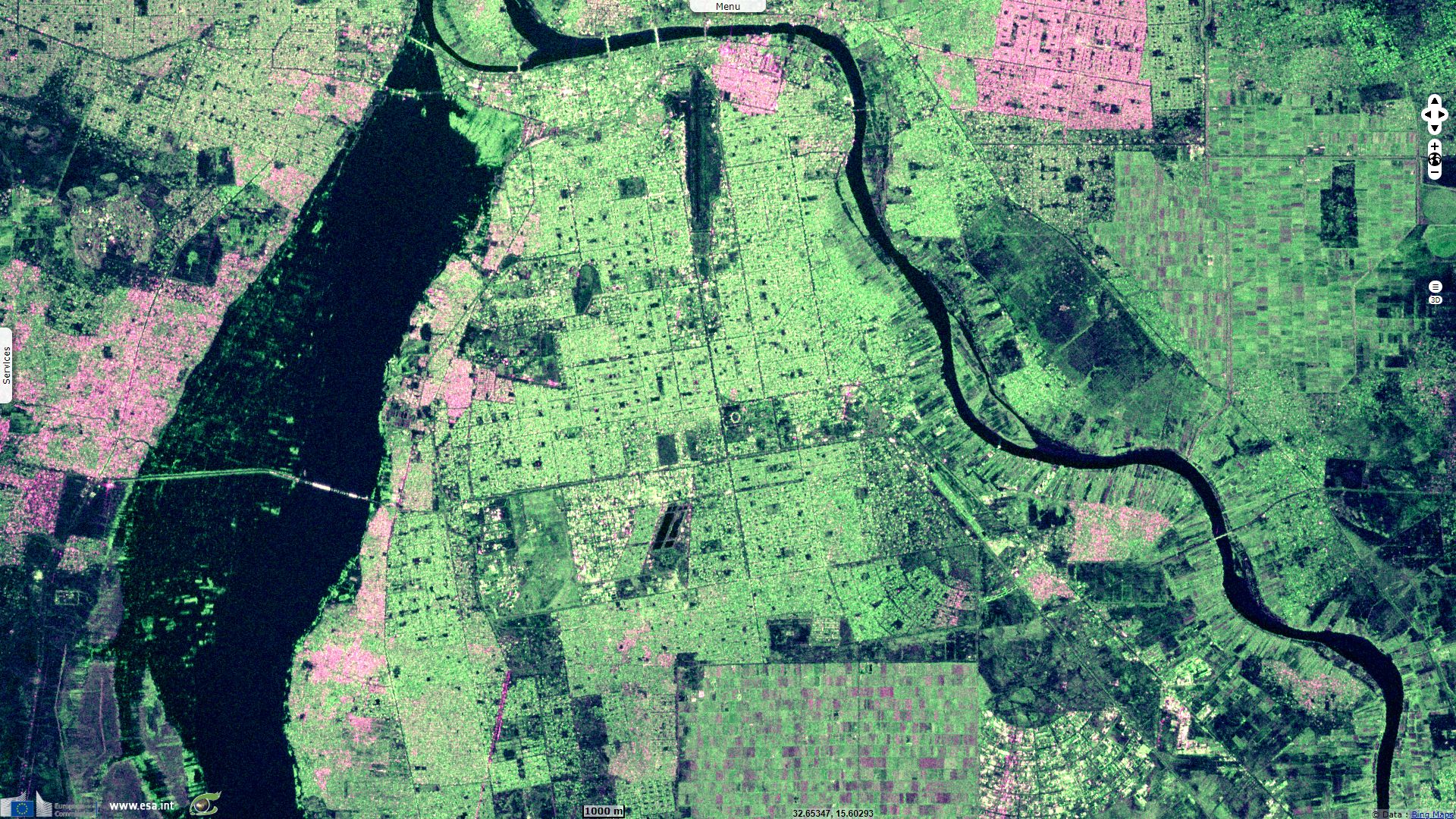
Sentinel-1 CSAR IW acquired on 25 May 2018 at 03:39:29 UTC
...
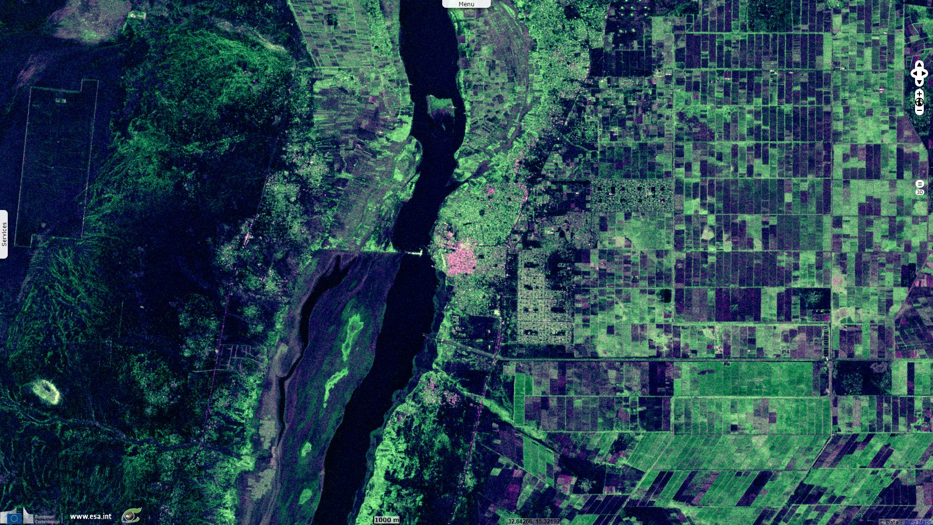
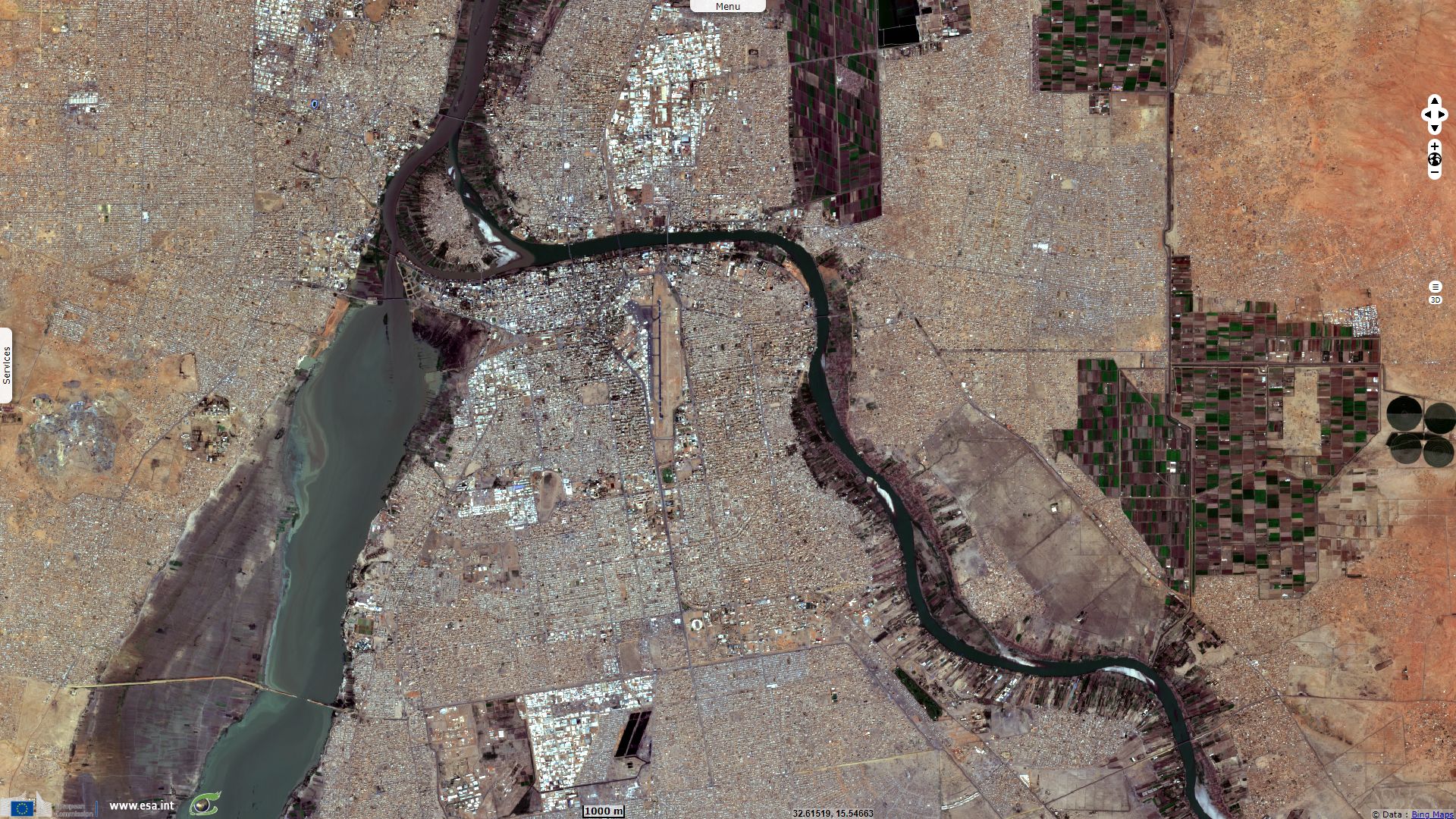
Sentinel-2 MSI L1C acquired on 06 August 2018 at 08:05:59 UTC
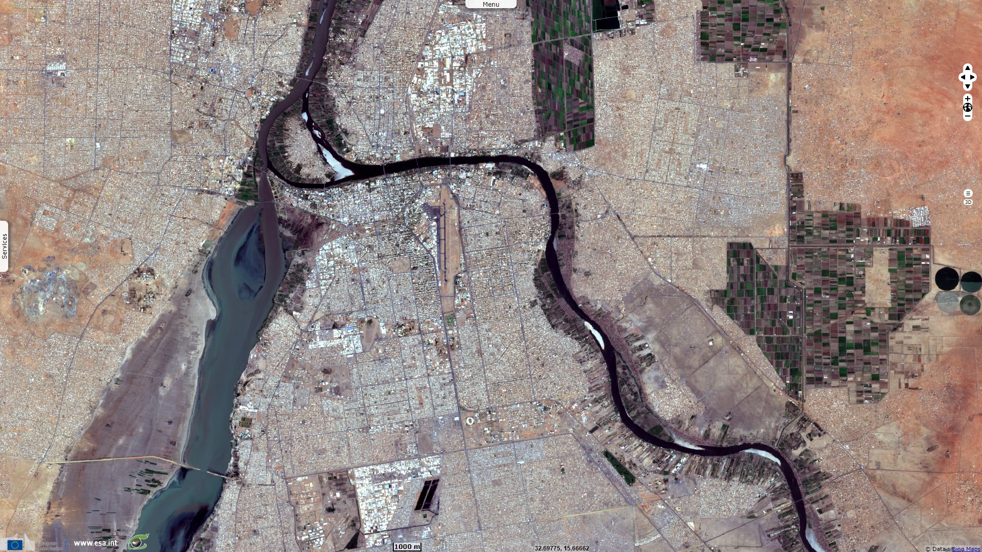
Sentinel-1 CSAR IW acquired on 10 September 2018 at 03:39:47 UTC
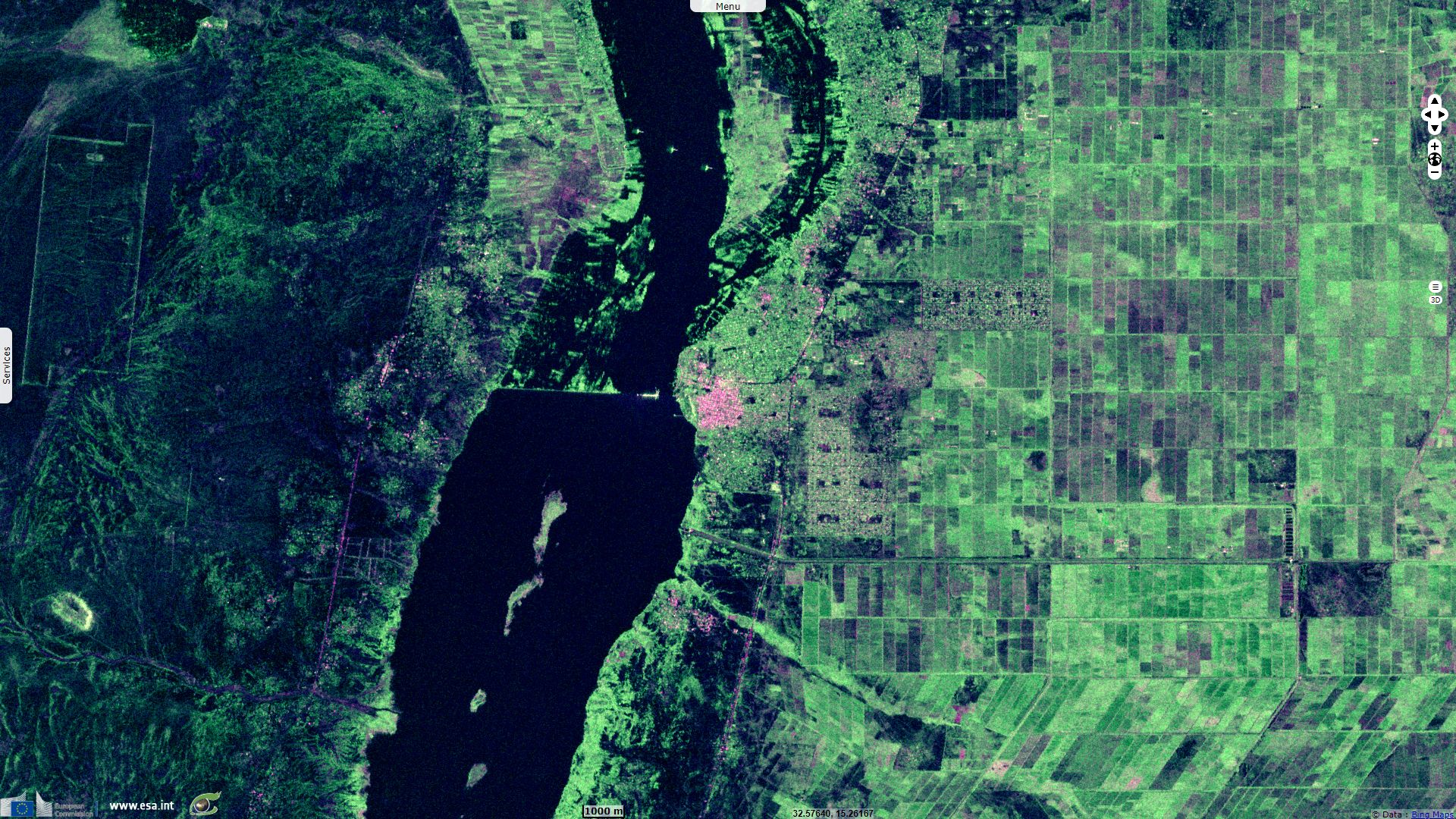
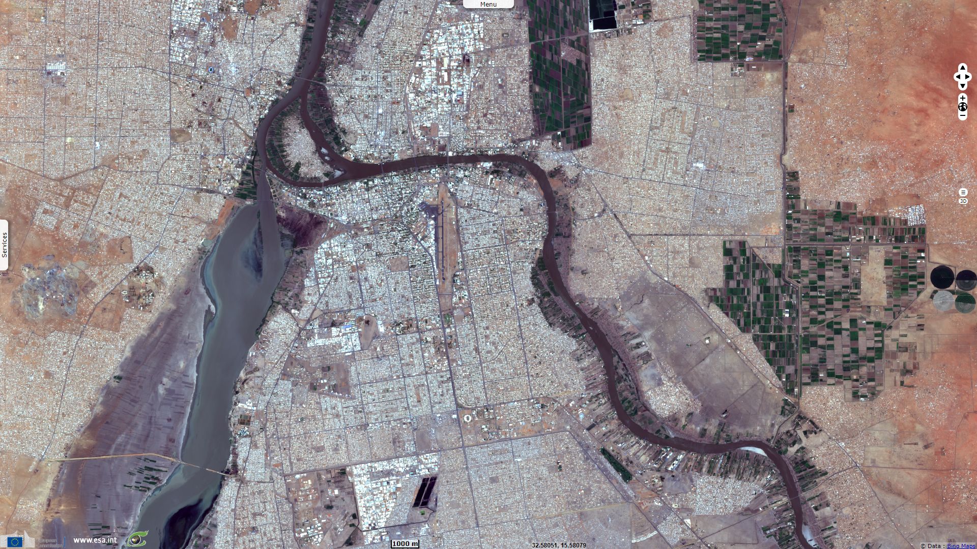
Sentinel-2 MSI L2A acquired on 02 June 2019 at 08:06:19 UTC
...
Sentinel-2 MSI L1C acquired on 06 August 2018 at 08:05:59 UTC
Sentinel-1 CSAR IW acquired on 10 September 2018 at 03:39:47 UTC
Sentinel-2 MSI L2A acquired on 02 June 2019 at 08:06:19 UTC
Keyword(s): River, hydrology, urban, land, agriculture, flooding, dam, renewable energy, sediments, alluvium, Sudan
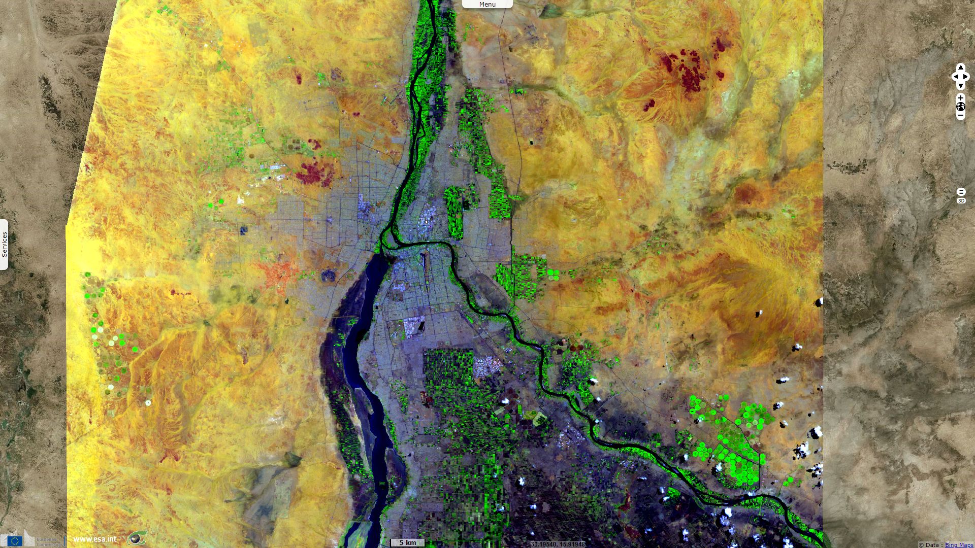
The Nile is the longest or second longest river system in the World, depending on the referenced source. It is constituted of two wildly different main tributaries, the Blue Nile and the White Nile. The Blue Nile flows about 1400 kilometres from Lake Tana to Khartoum, where the Blue Nile and White Nile join to form the Nile. Regarding the White Nile, it can be estimated the most remote headwaters of Lake Victoria are 3700 km from the Blue Nile. When it reaches the Mediterranean Sea, this water has flowed around 6650 km.
According to Eyasu Yazew Hagos in his thesis Development And Management Of Irrigated Lands In Tigray, Ethiopia and to Michael H. Marshall in his poster Late Pleistocene and Holocene environmental and climatic change from Lake Tana, source of the Blue Nile, the White Niles’ flow is affected by the natural perennial storage of the Great Lakes particularly Lake Victoria and the Sudd region in the Sudan. The annual storage of Lake Victoria is 2910 billion m3. In general, with the rainy season extending from 8–10 months per annum, the water input in the equatorial region amounts to 400 billion m3. However, the annual flow at the Sudanese border varies between 20–22 billion m3. In the Southern Sudan, the White Nile meanders throughout the year through the Sudd swamp lands losing half of its flow to evapo(transpi)ration.
On the other hand, the high rainfall over the Ethiopian highlands in a single season and the steep topography give rise to a relatively high and concentrated runoff. The flooding of the Nile is the result of the yearly monsoon between May and August causing enormous precipitations on the Ethiopian Highlands whose summits reach heights of up to 4550 m. The direct rainfall (3–5 months per annum) in the Ethiopian highlands amounts to 250 billion m3 and contributes about 50 billion m3 annual discharge to the Blue Nile system.
The annual discharge that reaches the Aswan dam (Southern Egypt) in normal years is 84 billion m3. Out of this, the Blue Nile accounts for 56% of lower Nile flow. Together with the Tekeze, Atbara and Sobat, originating from the Ethiopian highlands contribute for 86% of flow (and 96% of transported sediment), with only 14% coming from the Great Lakes through the White Nile.
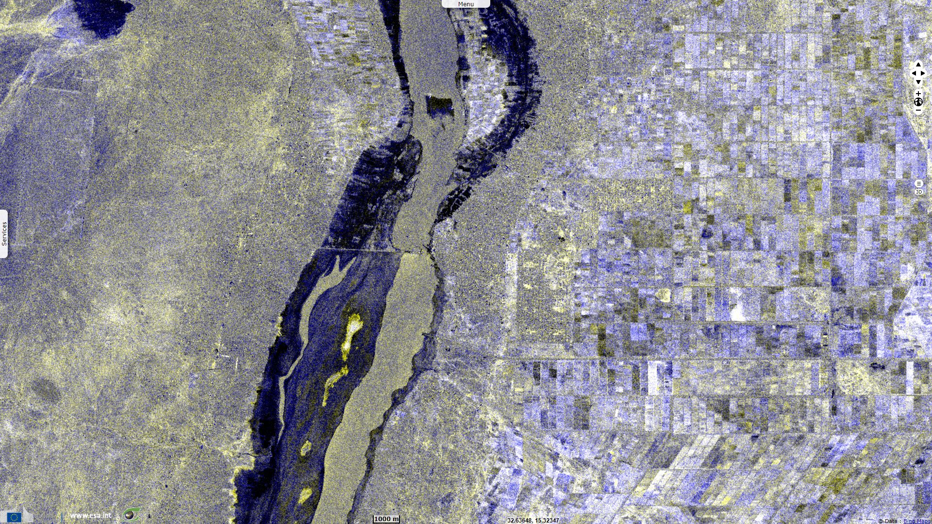
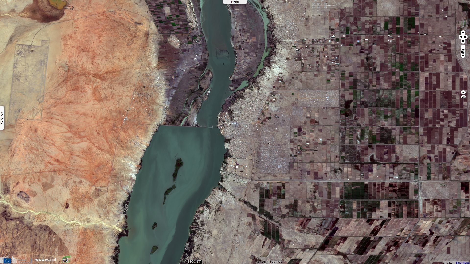
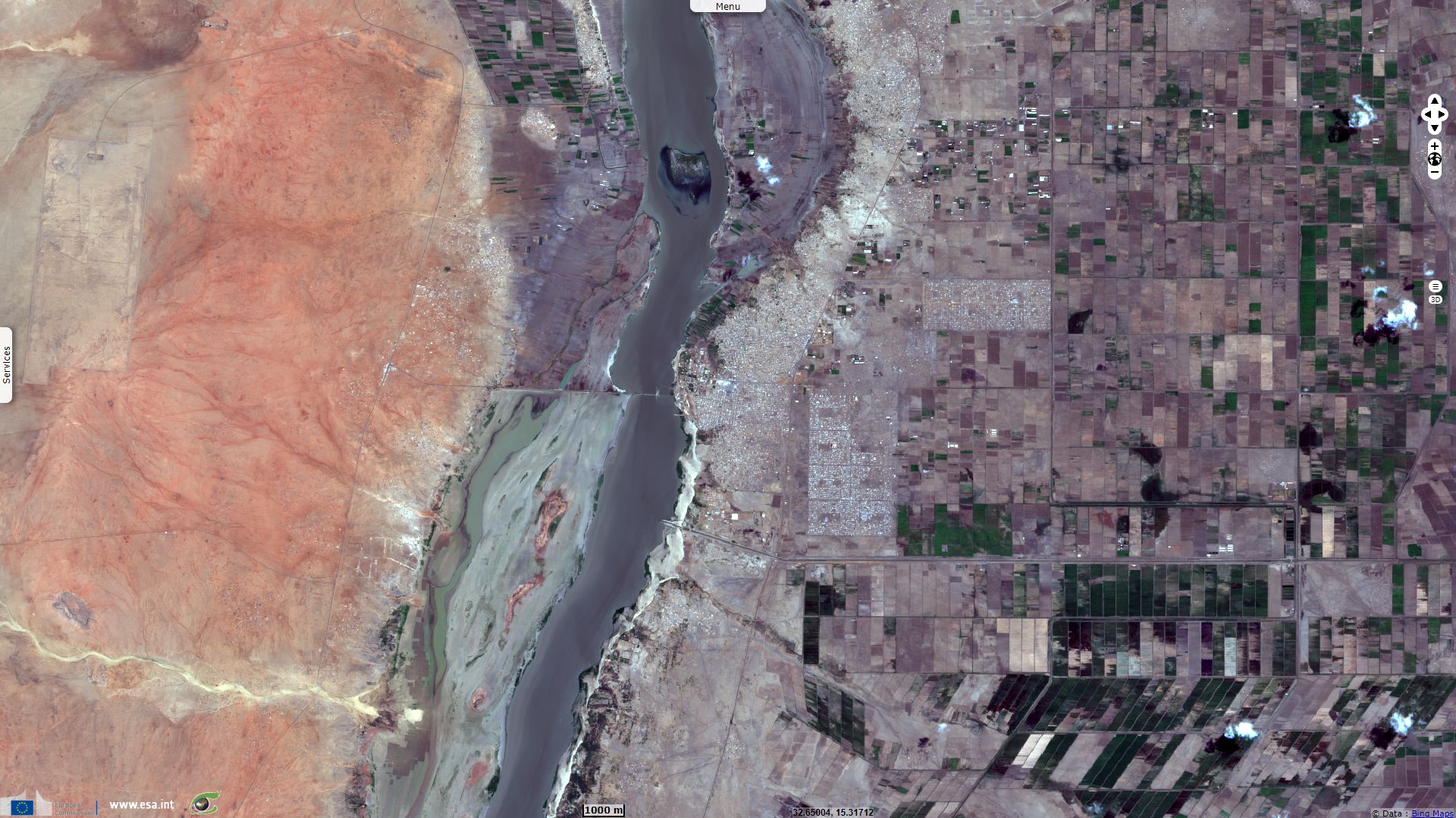
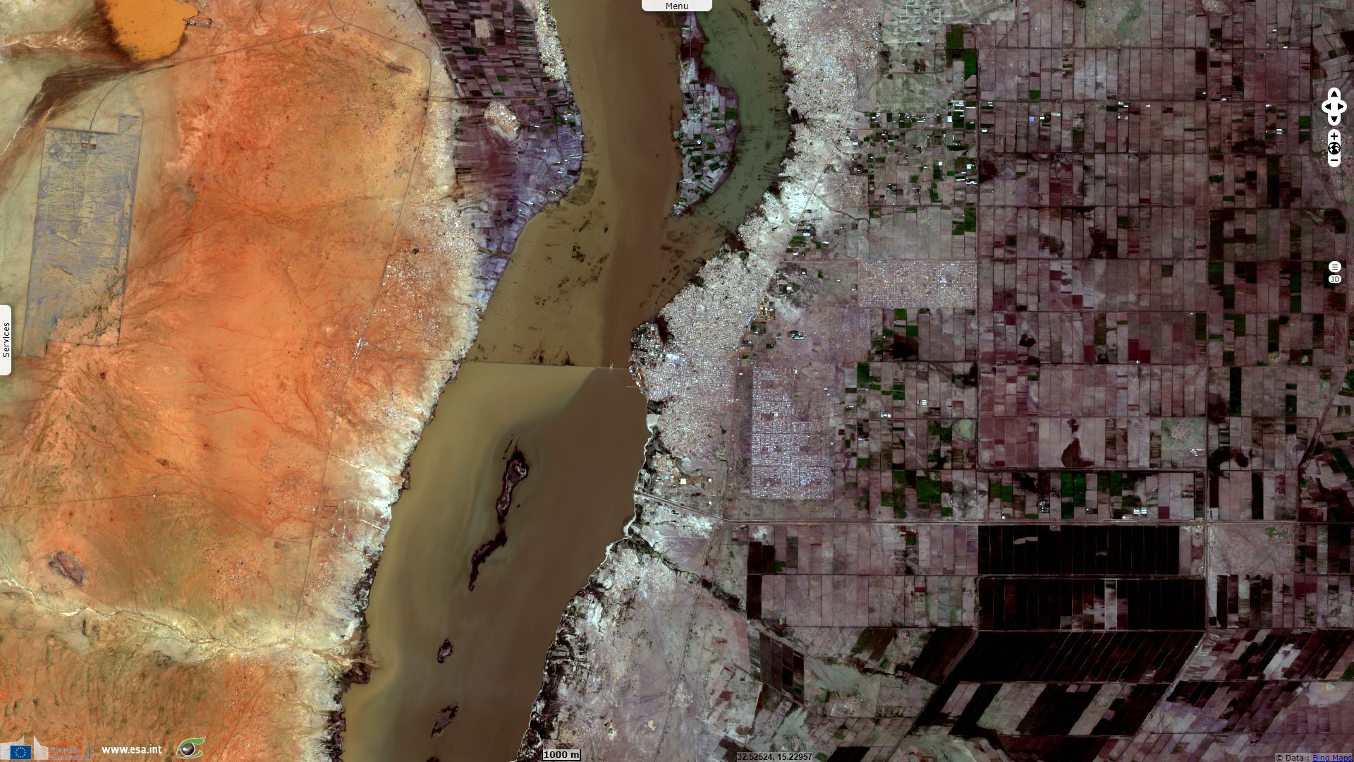
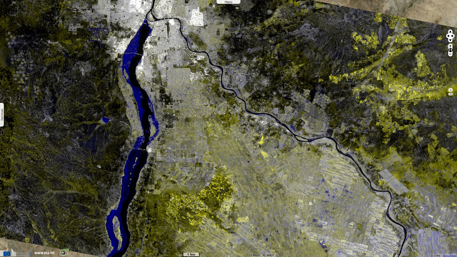
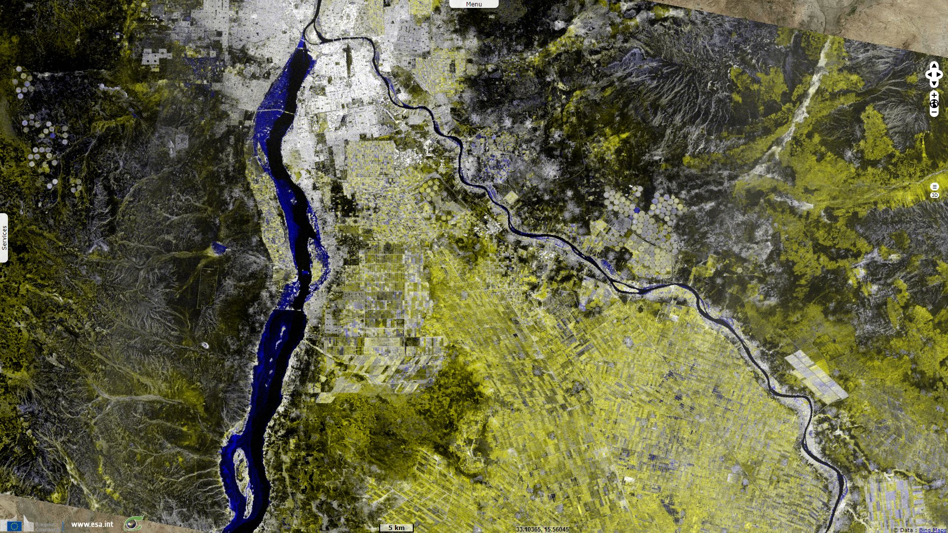
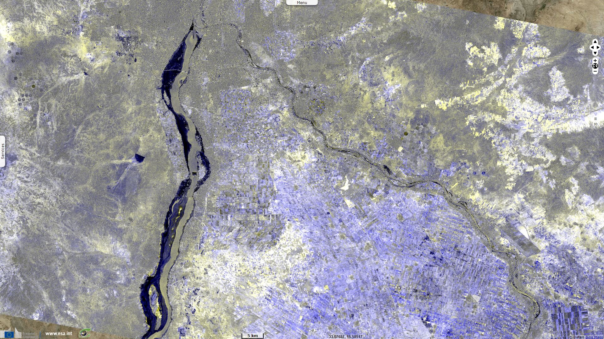
In the figure above, the part of the river bed that remained underwater shows in a greyish yellow. In contrast, the parts of the bank that were submerged show in dark. Patches of trees that remained emerged show as brighter spots amid the dark areas of the submerged river.
Most of this rainwater is taken by the Blue Nile and by the Atbarah River into the Nile, while a less important amount flows through the Sobat and the White Nile into the Nile. These floods brought high water with natural nutrients and minerals that annually enriched the fertile soil along its floodplain and delta; this predictability had made the Nile valley ideal for farming since ancient times. The annual sediment load of the Nile is about 134 million tons. The erosion and transportation of silt only occurs during the Ethiopian rainy season in the summer, however, when rainfall is especially high on the Ethiopian Plateau.
The rest of the year, the great rivers draining Ethiopia into the Nile (Sobat, Blue Nile, Tekezé, and Atbarah) have a weaker flow. The flow of the Blue Nile varies considerably over its yearly cycle and is the main contribution to the large natural variation of the Nile flow. During the dry season the natural discharge of the Blue Nile can be as low as 113 m3/s , although upstream dams regulate the flow of the river. During the wet season the peak flow of the Blue Nile often exceeds 5663 m3/s in late August (a difference of a factor of 50).
Before the placement of dams on the river the yearly discharge varied by a factor of 15 at Aswan. Peak flows of over 8212 m3/s occurred during late August and early September, and minimum flows of about 552 m3/s occurred during late April and early May. Typical heights of flood were 13.7 metres at Aswan, 11.6 metres at Luxor (and Thebes) and 7.6 metres at Cairo.
The annual flooding of the Nile during late summer had continued to pass largely unimpeded down the valley from its East African drainage basin. However, this natural flooding varied, since high-water years could destroy the whole crop, while low-water years could create widespread drought and associated famine. With the completion in 1970 of the Aswan Dam in Egypt, the Nile floods ended for lower Egypt.
During the 1920s, the Sennar Dam was constructed on the Blue Nile as a reservoir in order to supply water to the huge Gezira Scheme on a regular basis. It was the first dam on the Nile to retain large amounts of sedimentation (and to divert a large quantity of it into the irrigation canals) and in spite of opening the sluice gates during the flooding in order to flush the sediments, the reservoir is assumed to have lost about a third of its storage capacity.
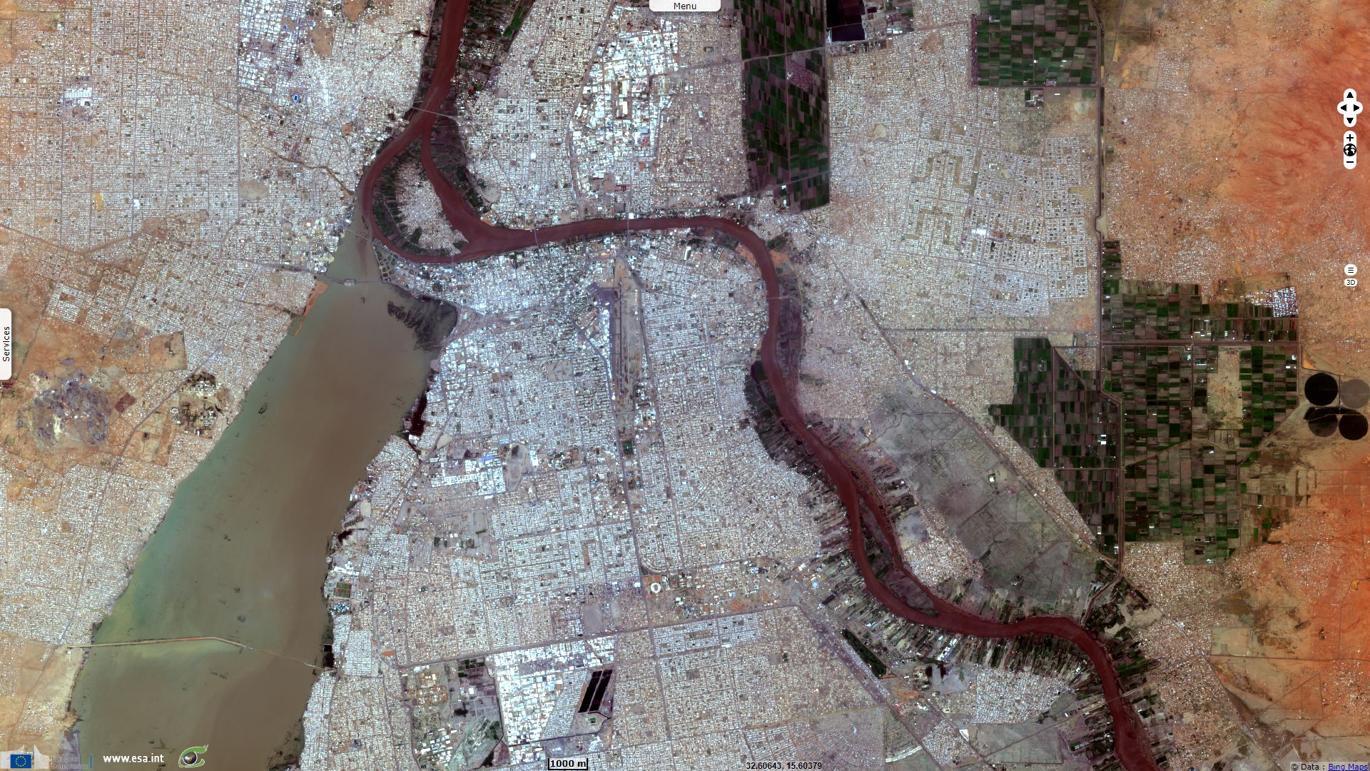
In 1966, the Roseires Dam was added to help irrigating the Gezira Scheme. Roseires Dam and Sennar Dams produce 80% of the country's power. The Jebel Aulia Dam on the White Nile south of Khartoum was completed in 1937 in order to compensate for the Blue Nile's low waters in winter, but it was still not possible to overcome a period of very low waters in the Nile and thus avoid occasional drought, which had plagued Egypt since ancient times.
The views expressed herein can in no way be taken to reflect the official opinion of the European Space Agency or the European Union.
Contains modified Copernicus Sentinel data 2026, processed by VisioTerra.
Contains modified Copernicus Sentinel data 2026, processed by VisioTerra.
| More on European Commission space: |  |
 |
 |
||||
| More on ESA: | |
|
|
S-1 website | S-2 website | S-3 website | |
| More on Copernicus program: | |
|
|
Scihub portal | Cophub portal | Inthub portal | Colhub portal |
| More on VisioTerra: | |
|
|
Sentinel Vision Portal | Envisat+ERS portal | Swarm+GOCE portal | CryoSat portal |