Trip to the Azores Archipelago, Portuguese islands on the Atlantic ridge
Sentinel-2 MSI acquired on 10 March 2017 at 12:50:31 UTC
...
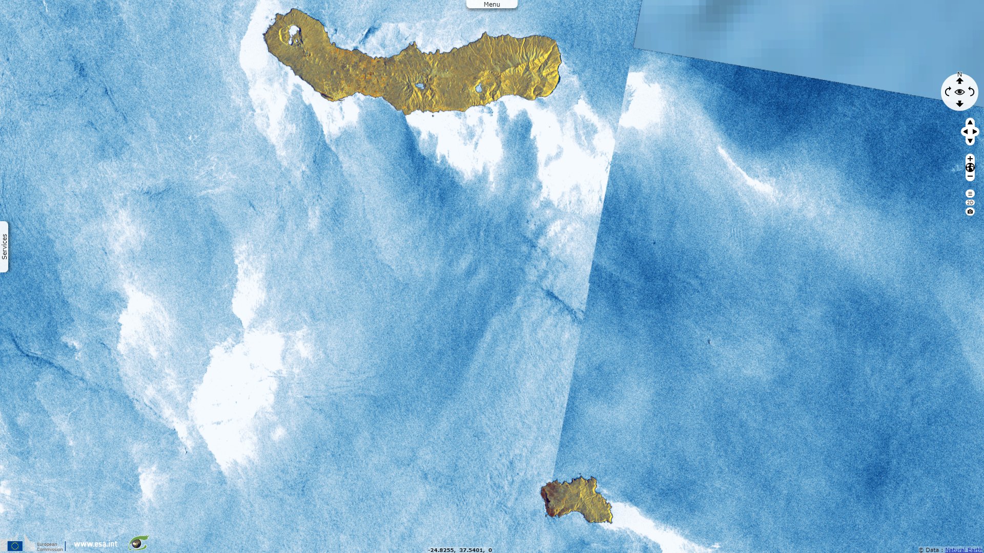
Sentinel-1 CSAR IW acquired on 25 July 2022 at 07:57:22 UTC
Sentinel-1 CSAR IW acquired on 01 September 2022 at 07:41:39 UTC
...
Sentinel-1 CSAR IW acquired on 25 July 2022 at 07:57:22 UTC
Sentinel-1 CSAR IW acquired on 01 September 2022 at 07:41:39 UTC
Keyword(s): Geohazard, archipelago, islands, volcano, biodiversity, UNESCO global geopark, Portugal, Atlantic ridge
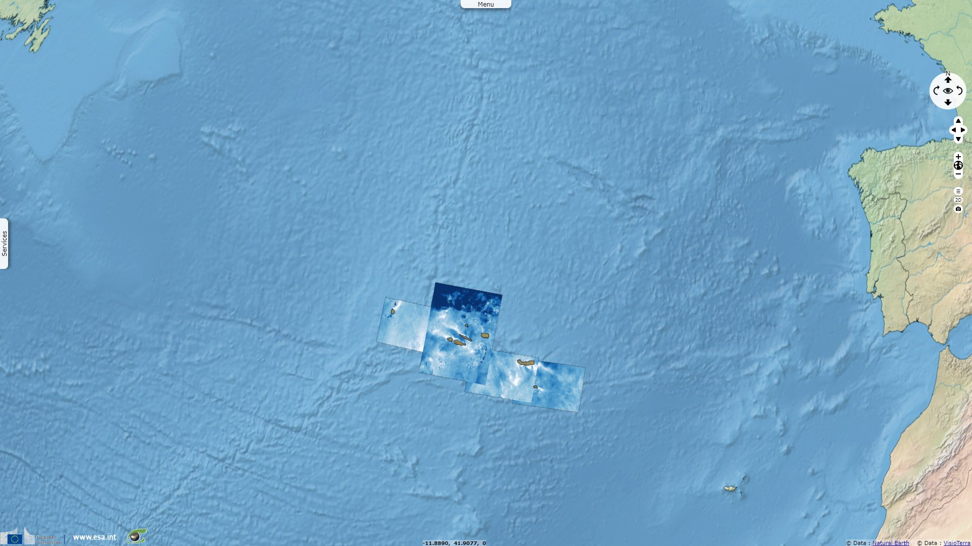
The Açores constitute a UNESCO Global Geopark "located in the North Atlantic Ocean between the European and American continents at a distance of 1815 km from the Portugal mainland. The Global Geopark area is 12 884 km², including the 2 324 km² of the 9 islands territory and 10 560 km² with 4 marine geosites of international to national relevance. The archipelago is a Portuguese autonomous region composed of nine islands, which are dispersed along a 600 km length narrow band with a WNW-ESE trend."
"The Azores archipelago is located at the triple junction of the North American, Eurasian and African lithospheric plates. These oceanic volcanic islands emerge from the Azores Plateau, which is defined by the 2000 meters bathimetric line and is roughly North-South crossed by the Mid-Atlantic Ridge. The oldest terrestrial volcanism (about 8 million years) is present on Santa Maria Island, while Pico is the youngest island of the archipelago that emerged about 300 000 years ago."

Map of Azores Islands (Portugal) - Source
"There are 27 main volcanic systems, with 16 major central volcanoes (12 of them silicic and with summit subsidence calderas) and 11 volcanic ridges associated with basaltic fissure volcanism, among which 9 polygenetic volcanoes and 7 fissural ridges are active. The small insular territory has about 1750 monogenetic volcanoes, tectonic structures, Miocene sedimentary rocks and offshore deep-sea hydrothermal fields and seamount volcanoes."
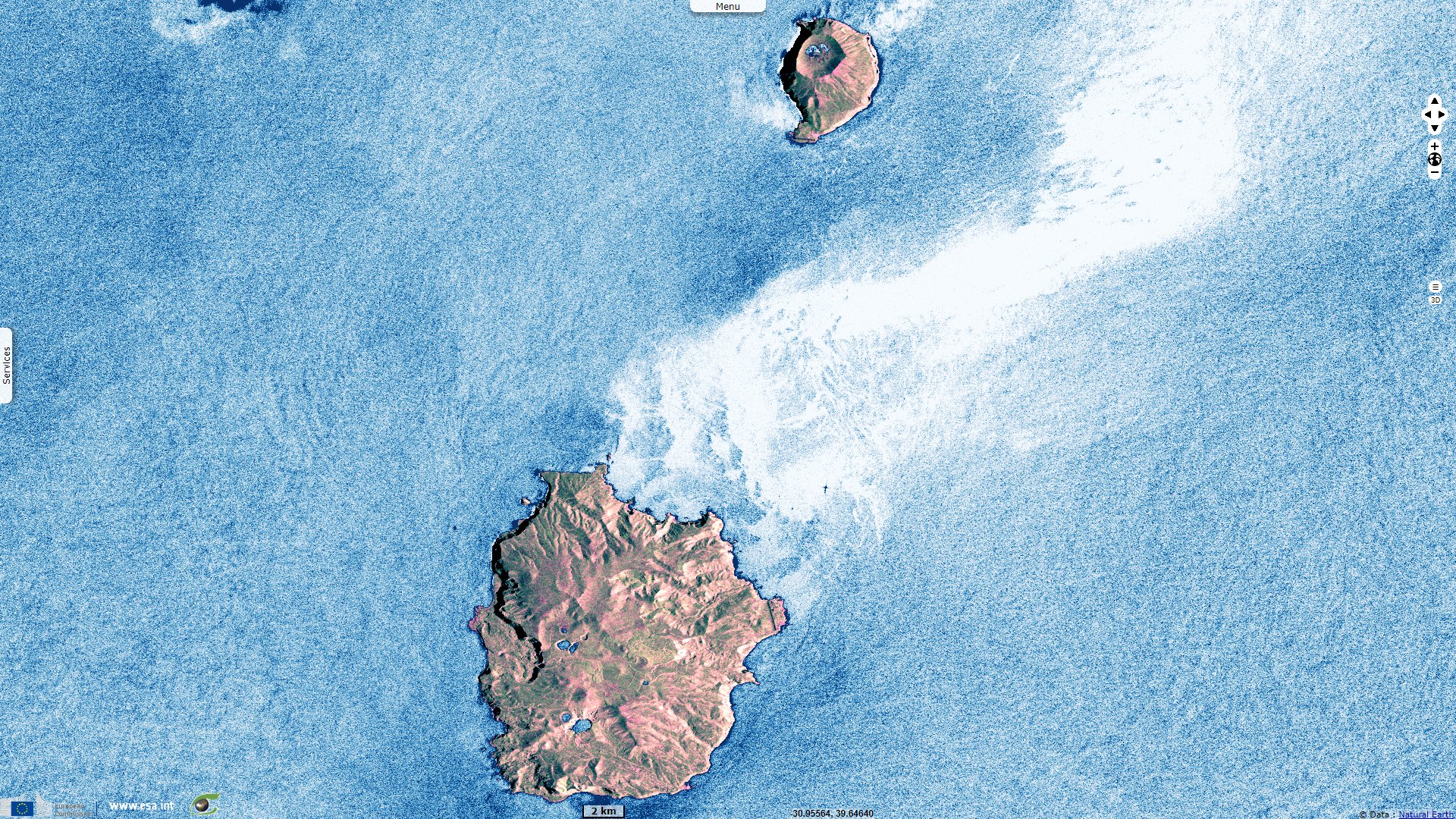
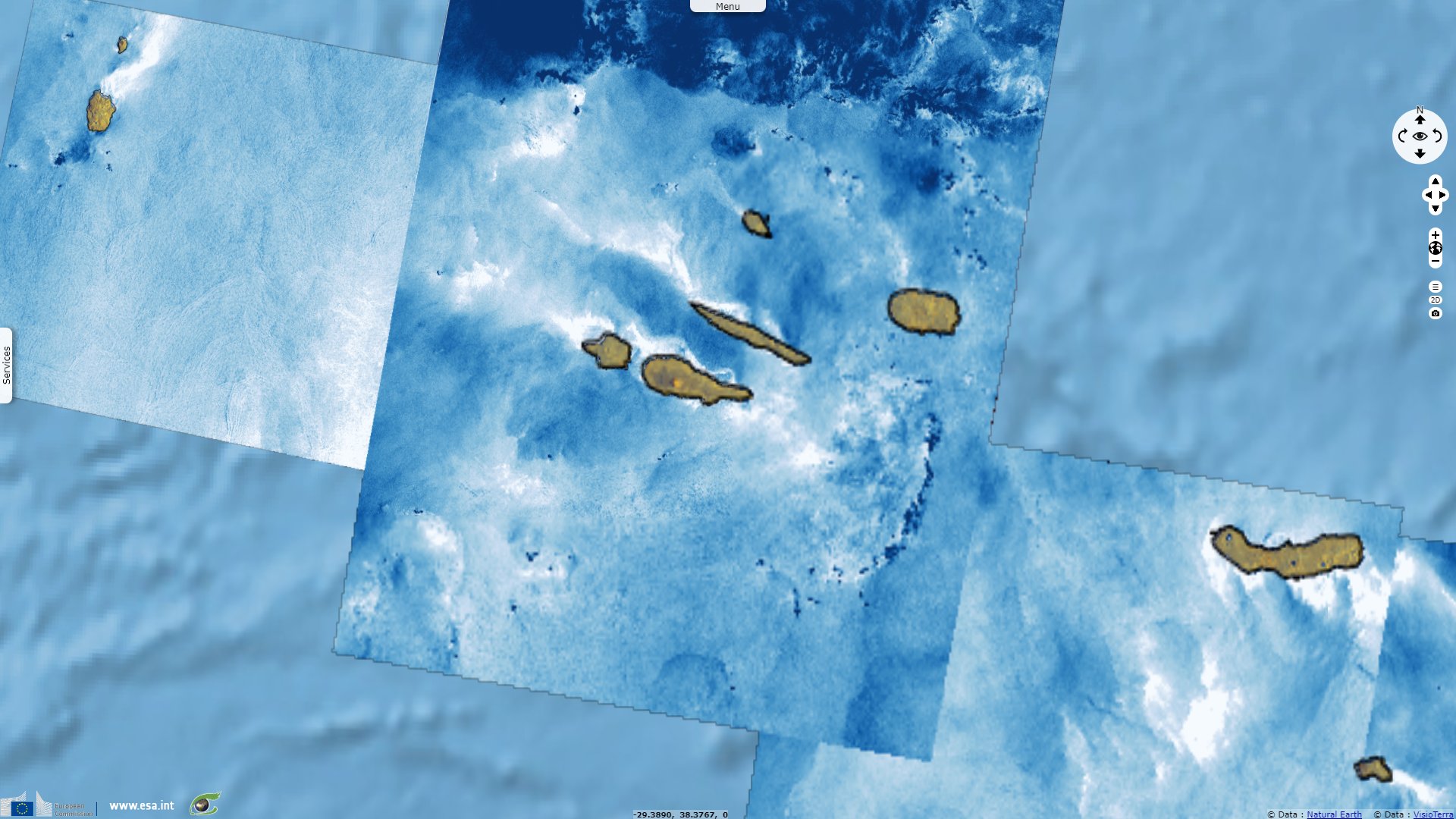
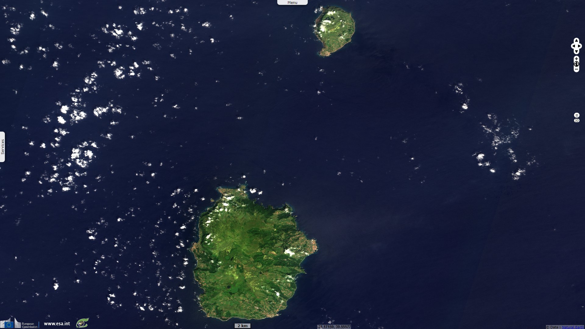
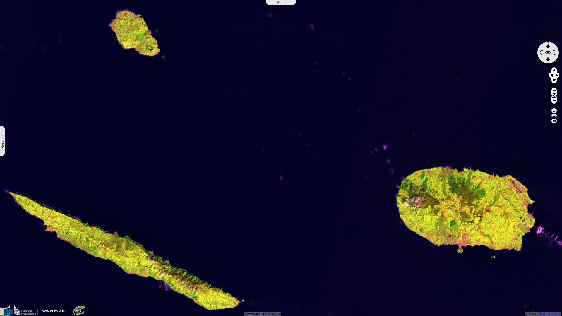
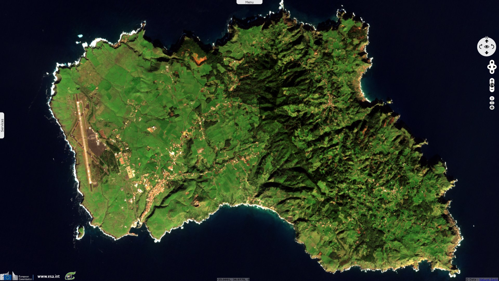
Flores Island and Corvo Island to its north "are located over 200 km west of the other Azores islands, west of the Mid-Atlantic Ridge. Growth of an initially submarine volcano included Pleistocene explosive activity associated with formation of small calderas. The 12 x 17 km island of Flores contains numerous cones and craters. Following a long period of quiescence beginning about 200 000 years ago, several phreatomagmatic craters and associated lava flows erupted during the Holocene. The Caldeira Funda de Lajes tuff ring formed about 3150 years ago, accompanied by a lava flow that reached the SE coast at Lajes. The Caldeira Comprida tuff ring in Caldeira Seca, west-central Flores, erupted about 2900 years ago and produced a lava flow that traveled NW to the coast at Faja Grande."
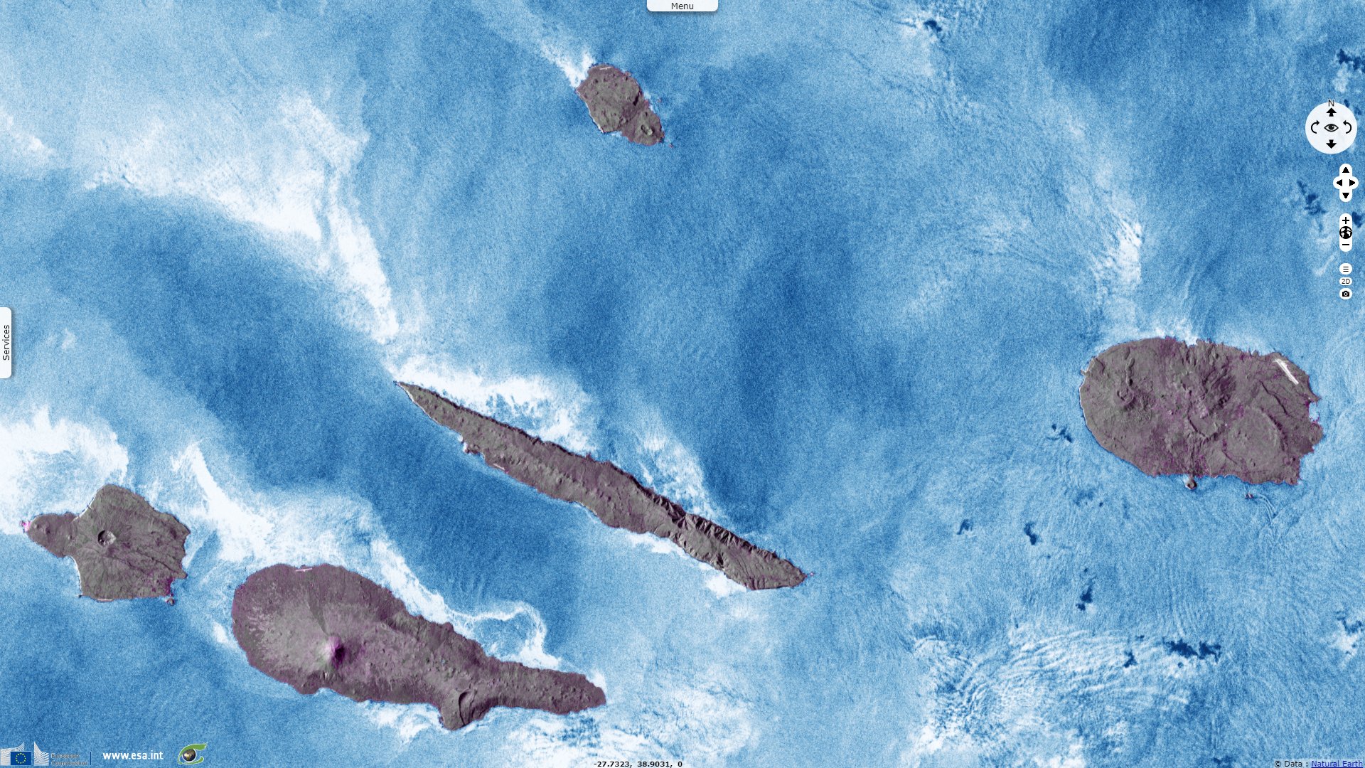
The dominantly basaltic São Jorge Island "is 55 km long and 6.5 km wide. It was formed by fissure eruptions beginning in the eastern part of the island. The western two-thirds of the island contains youthful, fissure-fed lava flows resembling those on neighboring Pico Island. Lava effused from three locations above the south-central coast during 1580, producing flows that reached the ocean. In 1808 a series of explosions took place from vents along the south-central crest of the island; one of the vents produced a lava flow that reached the southern coast. Submarine eruptions have also been reported on several occasions from a submarine ridge to the SE."
The SE end of Graciosa, "the northernmost of the central Azorean islands, contains a 0.9 x 1.6 km caldera with active fumaroles. The SE caldera rim is the high point of the 7 x 12 km island. The caldera has been the source of eruptions producing significant tephra falls, pyroclastic flows, lahars, and lava flows. Fumaroles are present in a volcanic cave inside the caldera, and a submarine fumarole occurs off the NW coast. Scoria cones erupted along several widely spaced NE-SW-trending fissures fed a youthful lava field that forms the NW end of the island. The most recent eruption from Pico Tomao, NW of the caldera, produced a lava flow during the mid-to-late Holocene that reached the eastern coast NW of the village of Praia."
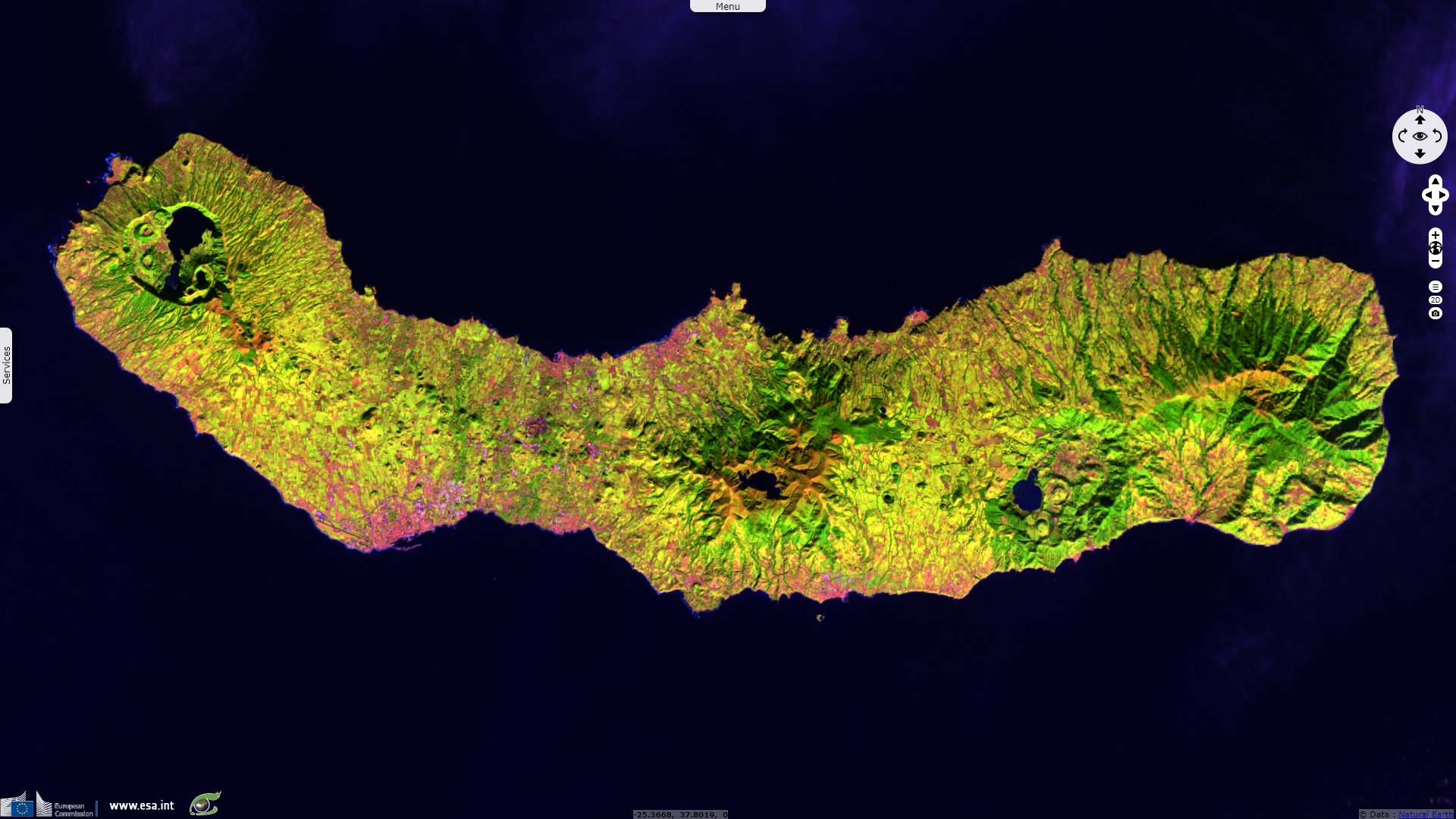
Further south-east, Terceira Island contains "multiple stratovolcanoes constructed along a prominent ESE-WNW fissure zone that cuts across the island. Historically active Santa Barbara volcano at the western end of the island is truncated by two calderas, the youngest of which formed about 15 000 years ago. Comenditic lava domes fill and surround the caldera. Pico Alto lies north of the fissure zone in the north-central part of the island and contains a Pleistocene caldera largely filled by lava domes and lava flows. Guilherme Moniz caldera lies along the fissure zone immediately to the south, and 7-km-wide Cinquio Picos caldera is at the SE end of the island. Historical eruptions have occurred from Pico Alto, the fissure zone between Pico Alto and Santa Barbara, and from submarine vents west of Santa Barbara. Most Holocene eruptions have produced basaltic-to-rhyolitic lava flows from the fissure zone."
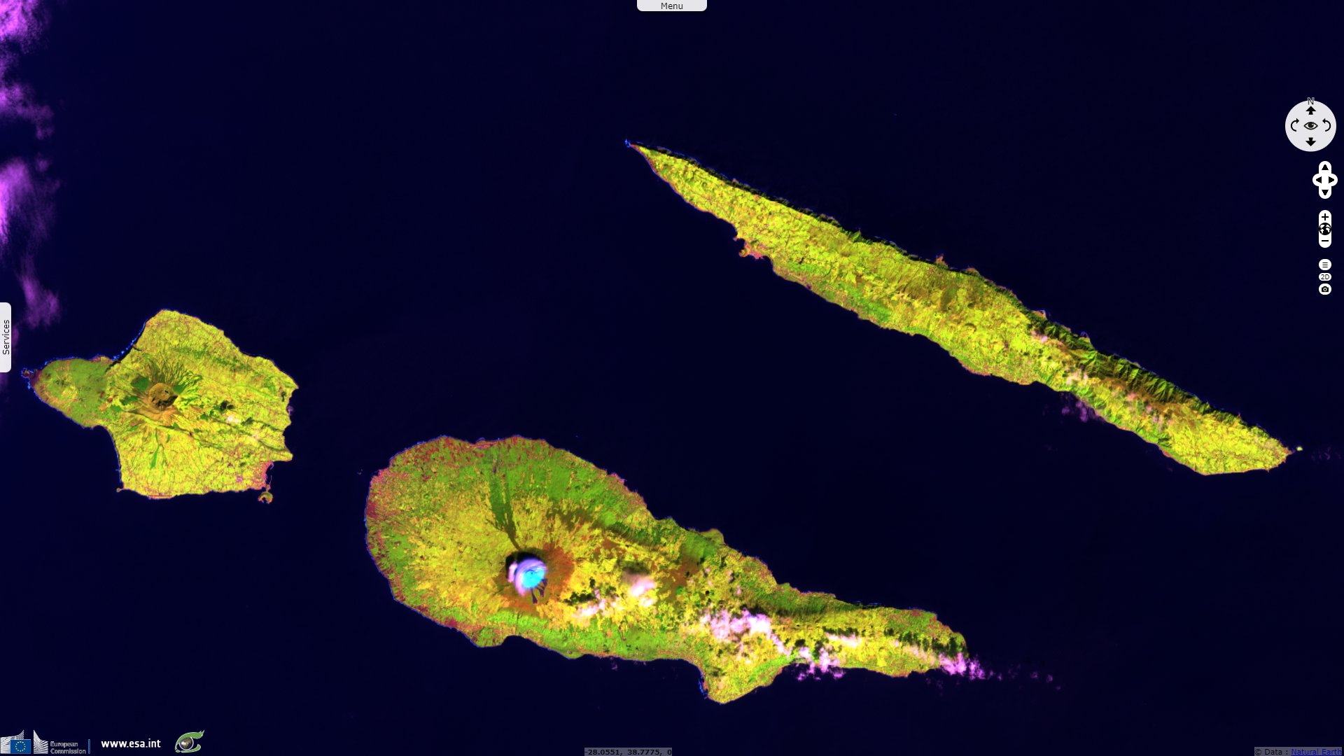
At south-west, the island of Fayal, also spelled Faial, "is the nearest of the central Azorean islands to the Mid-Atlantic Ridge. The island is composed of a complex large andesitic-to-trachytic stratovolcano that contains a 2-km-wide summit caldera. Thick deposits of trachytic airfall pumice, pyroclastic flows, and lahars related to formation of the caldera cover the island. Formation of the steep-walled 400-m-deep caldera was followed by construction of fissure-fed basaltic lava fields and small volcanoes that form a peninsula extending to the west. This area is covered by the youngest volcanic products on the island. A submarine eruption at Capelinhos during 1957-58 created a new island that soon merged with the western peninsula."
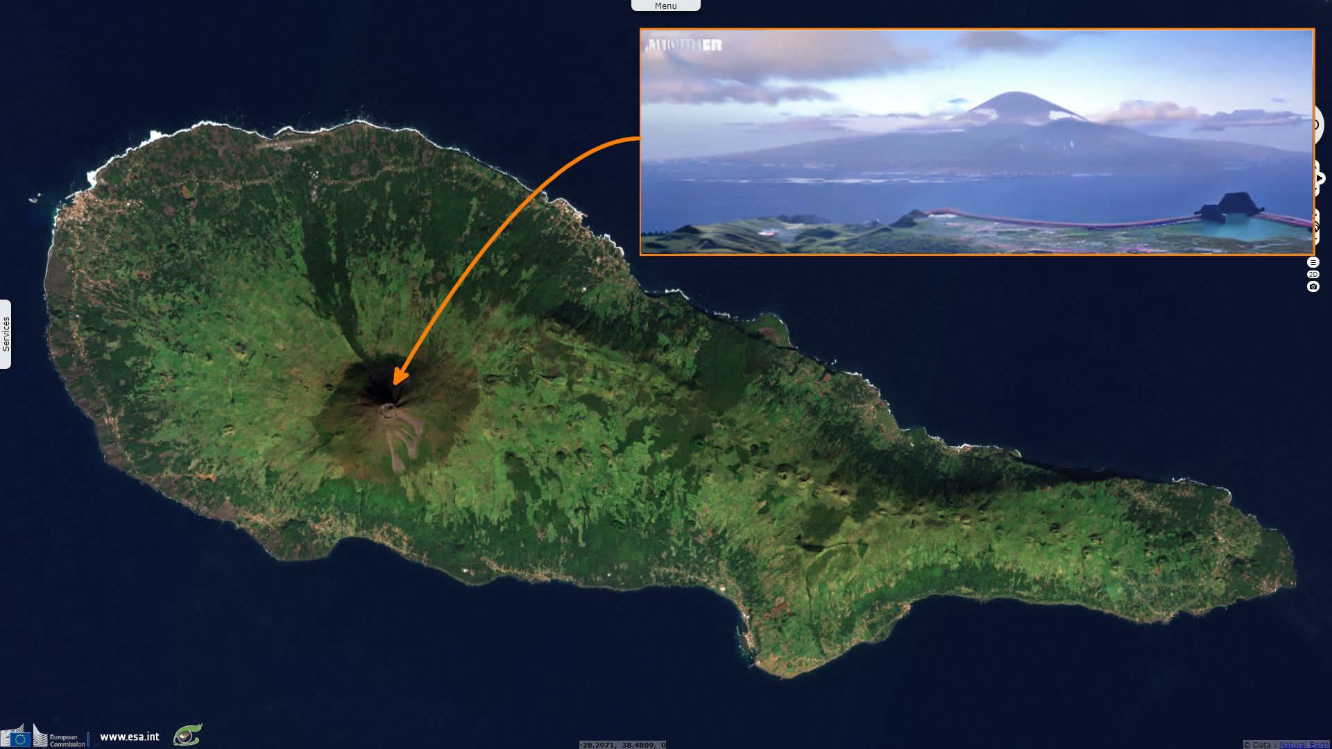
The conical Pico stratovolcano "occupies the western end of Pico Island and is the highest volcano in the Azores. The dominantly basaltic edifice lies west of on an older linear volcano with numerous flank cones that forms most of the 46-km-long island. It was constructed over the Montanha volcanic complex on the eastern side of the island and is capped by a 500-m-wide summit crater that is overtopped by a small steep-sided cone. An eruption beginning in 1562 from the Sao Roque Piedade/Planalto da Achada fissure zone produced lava flows that reached the northern coast. Two fissures erupted on the NNW flank and SE flank of Pico volcano in 1718, with lavas reaching the north and south coasts. Lava flows from a fissure on the SE flank in 1720 reached the ocean."
Sete Cidades volcano "at the western end of Sao Miguel Island contains a 5-km-wide summit caldera occupied by two caldera lakes. The steep-walled, 500-m-deep caldera was formed about 22 000 years ago, and at least 22 post-caldera eruptions have occurred. A large group of Pleistocene post-caldera trachytic lava domes, lava flows, and pyroclastic-flow deposits is found on the western-to-northern flanks. A nearly circular ring of six Holocene pyroclastic cones on the caldera floor have been the source of a dozen trachytic pumice-fall deposits erupted during the past 5000 years. Recorded eruptions date back to the 15th century and have occurred both within the caldera and from submarine vents off the west coast."
The views expressed herein can in no way be taken to reflect the official opinion of the European Space Agency or the European Union.
Contains modified Copernicus Sentinel data 2026, processed by VisioTerra.
Contains modified Copernicus Sentinel data 2026, processed by VisioTerra.
| More on European Commission space: |  |
 |
 |
||||
| More on ESA: | |
|
|
S-1 website | S-2 website | S-3 website | |
| More on Copernicus program: | |
|
|
Scihub portal | Cophub portal | Inthub portal | Colhub portal |
| More on VisioTerra: | |
|
|
Sentinel Vision Portal | Envisat+ERS portal | Swarm+GOCE portal | CryoSat portal |