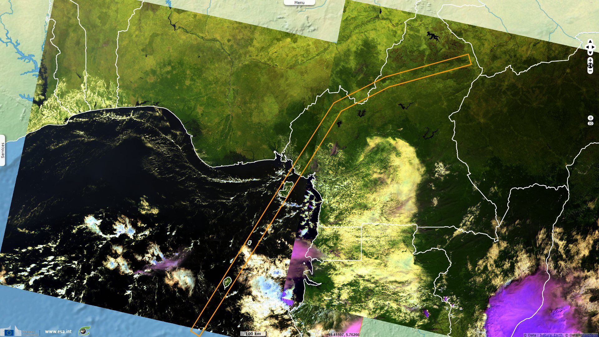
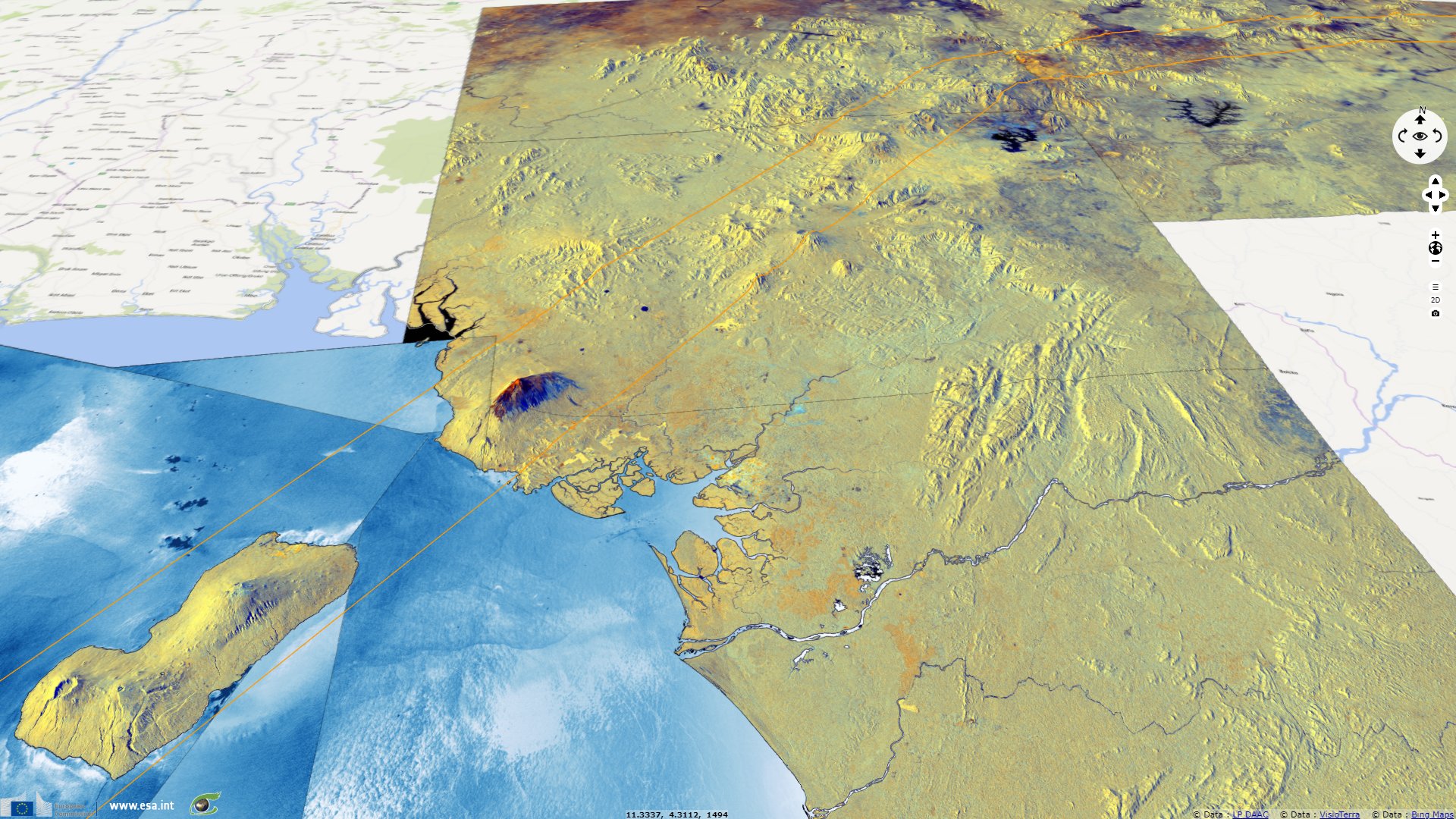
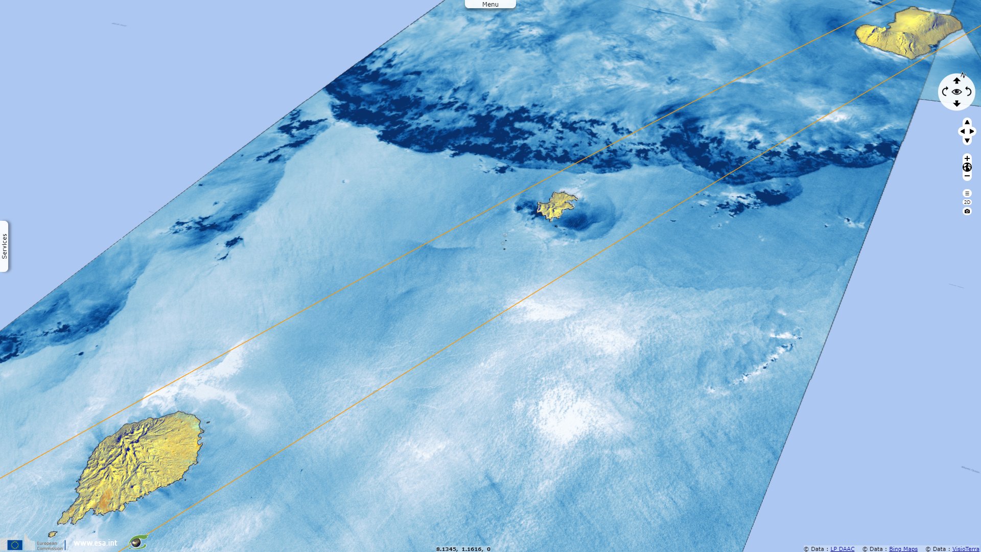
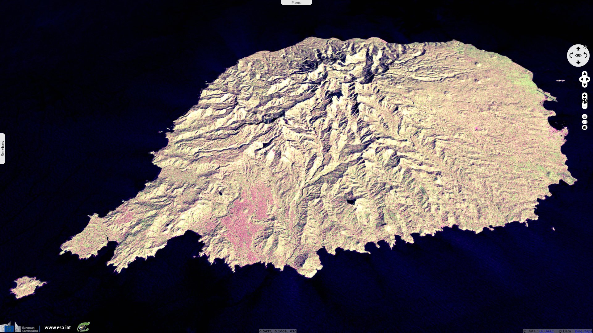
Volcanic chain of the Cameroon line
Sentinel-3 SLSTR RBT acquired on 12 December 2016 at 08:47:35 UTC
Sentinel-3 SLSTR RBT acquired on 31 January 2018 at 09:28:46 UTC
...
Sentinel-1 CSAR IW acquired on 20 April 2018 from 05:13:59 to 05:15:14 & from 17:36:06 to 17:36:56 UTC
Sentinel-3 SLSTR RBT acquired on 31 January 2018 at 09:28:46 UTC
...
Sentinel-1 CSAR IW acquired on 20 April 2018 from 05:13:59 to 05:15:14 & from 17:36:06 to 17:36:56 UTC
Keyword(s): Volcanoes, islands, land, geology, caldera lake, rift, Sao Tome and Principe, Equatorial Guinea, Cameroon
Inland, it goes from the Cameroon Ngaoundere Plateau at N-E, Oku Volcanic Field (sadly reknown for the dangerous CO2-filled lakes Nyos & Monoun), Western High Plateau & the 4040 m high Mount Cameroon. All are still volcanically active.
The views expressed herein can in no way be taken to reflect the official opinion of the European Space Agency or the European Union.
Contains modified Copernicus Sentinel data 2026, processed by VisioTerra.
Contains modified Copernicus Sentinel data 2026, processed by VisioTerra.
| More on European Commission space: |  |
 |
 |
||||
| More on ESA: | |
|
|
S-1 website | S-2 website | S-3 website | |
| More on Copernicus program: | |
|
|
Scihub portal | Cophub portal | Inthub portal | Colhub portal |
| More on VisioTerra: | |
|
|
Sentinel Vision Portal | Envisat+ERS portal | Swarm+GOCE portal | CryoSat portal |