S1 witnesses interlaced rivers and forests in Angola
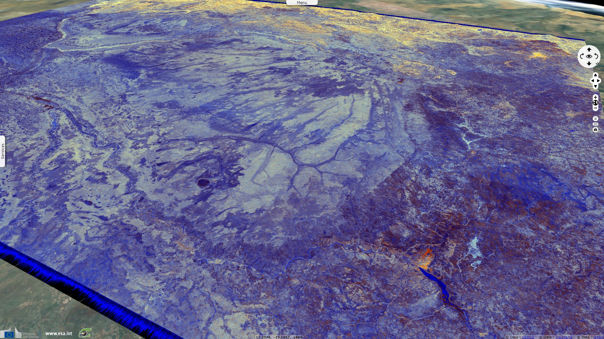
Sentinel-1 CSAR IW acquired on 28 September 2016 at 04:18:37 UTC
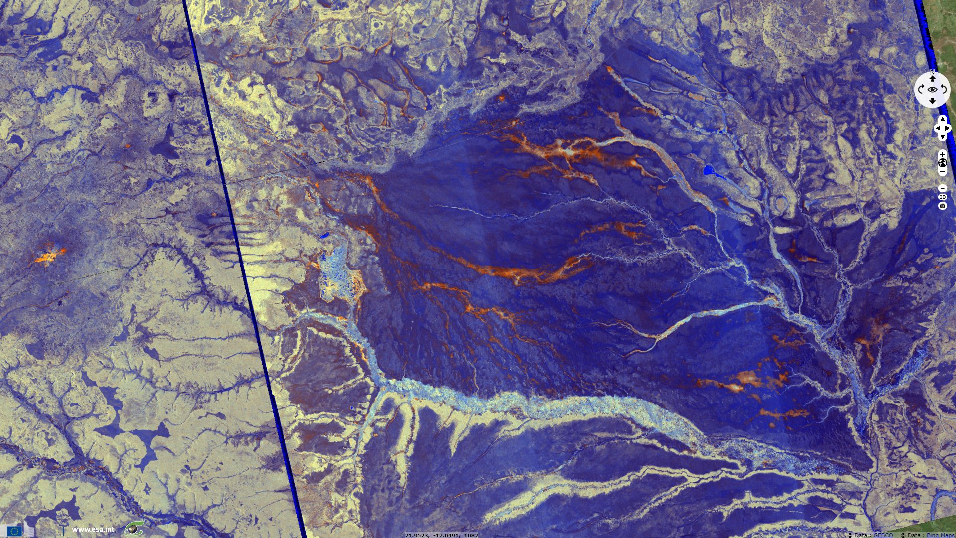
Sentinel-1 CSAR IW acquired on 09 August 2017 from 16:58:10 to 16:58:35 UTC
...
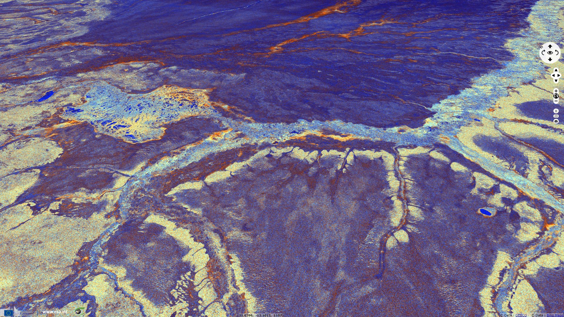
Sentinel-1 CSAR IW acquired on 19 August 2017 from 17:14:14 to 17:15:54 UTC
Sentinel-1 CSAR IW acquired on 09 August 2017 from 16:58:10 to 16:58:35 UTC
...
Sentinel-1 CSAR IW acquired on 19 August 2017 from 17:14:14 to 17:15:54 UTC
Keyword(s): land, forestry, hydrology, rivers, Zambezi, Kasai, hills, savanna, tropical, erosion, Bié plateau, Angola, DRC, Congo
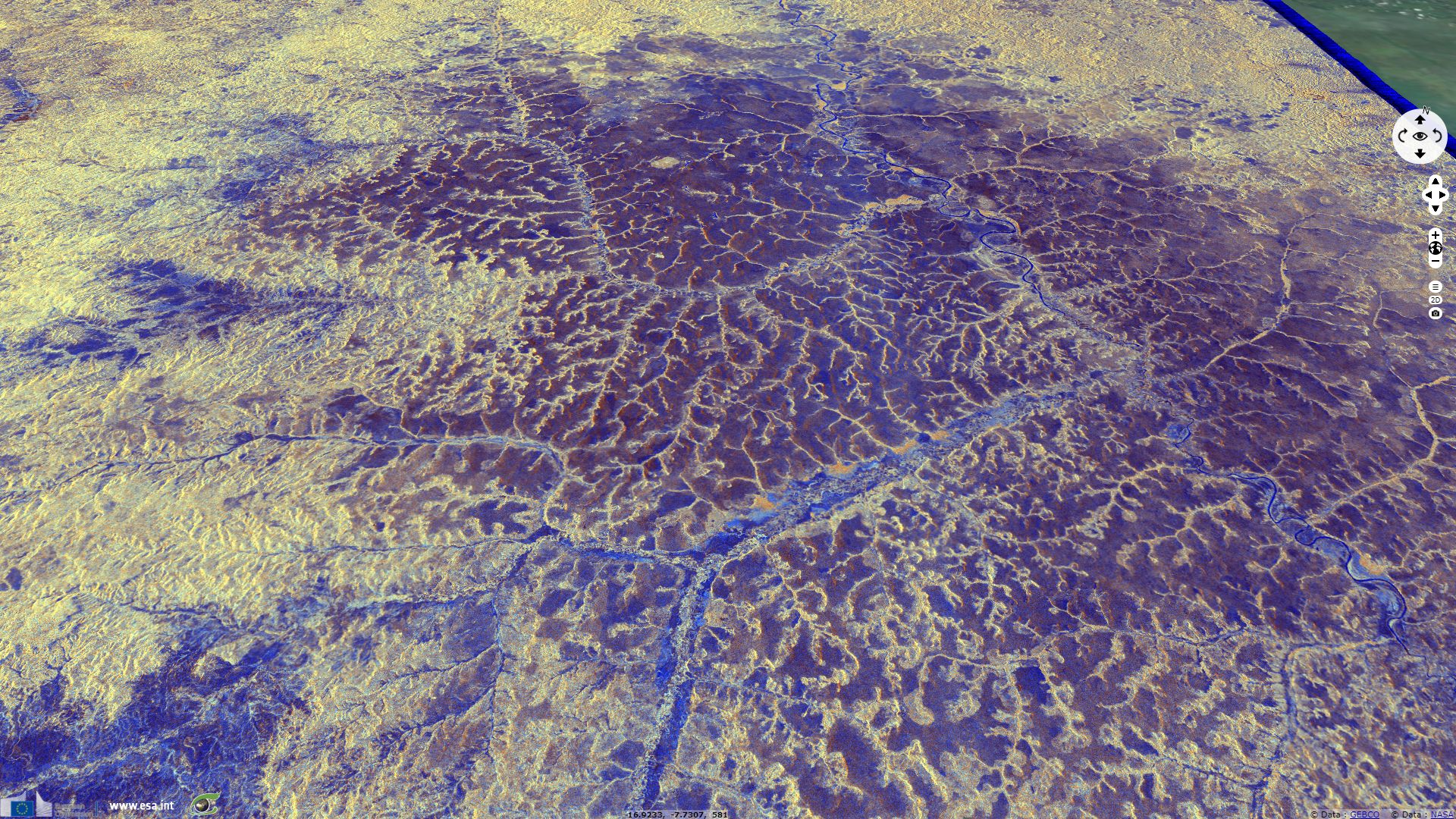
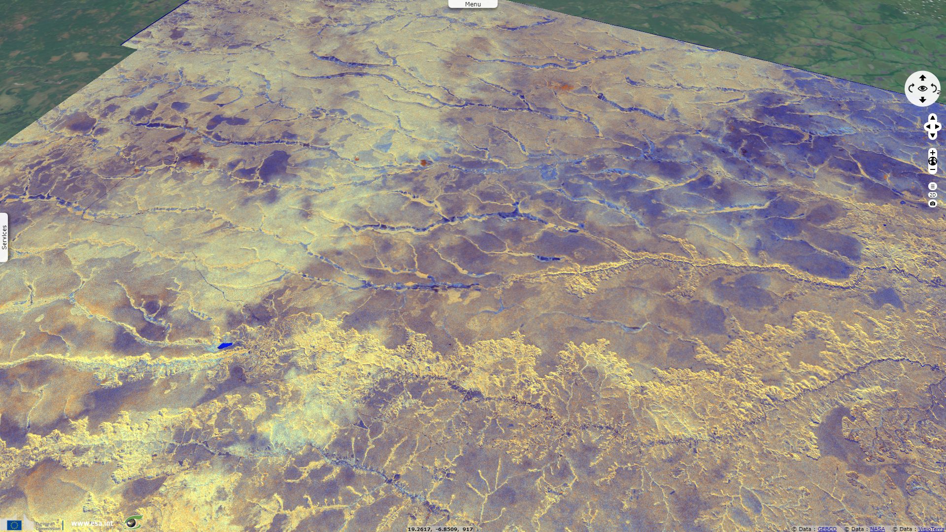
Kasai river (blue) bordered by gallery forest (yellow) meanders through hilly grassland terrain (brown) at the Angola - DRC border.
The views expressed herein can in no way be taken to reflect the official opinion of the European Space Agency or the European Union.
Contains modified Copernicus Sentinel data 2026, processed by VisioTerra.
Contains modified Copernicus Sentinel data 2026, processed by VisioTerra.
| More on European Commission space: |  |
 |
 |
||||
| More on ESA: | |
|
|
S-1 website | S-2 website | S-3 website | |
| More on Copernicus program: | |
|
|
Scihub portal | Cophub portal | Inthub portal | Colhub portal |
| More on VisioTerra: | |
|
|
Sentinel Vision Portal | Envisat+ERS portal | Swarm+GOCE portal | CryoSat portal |