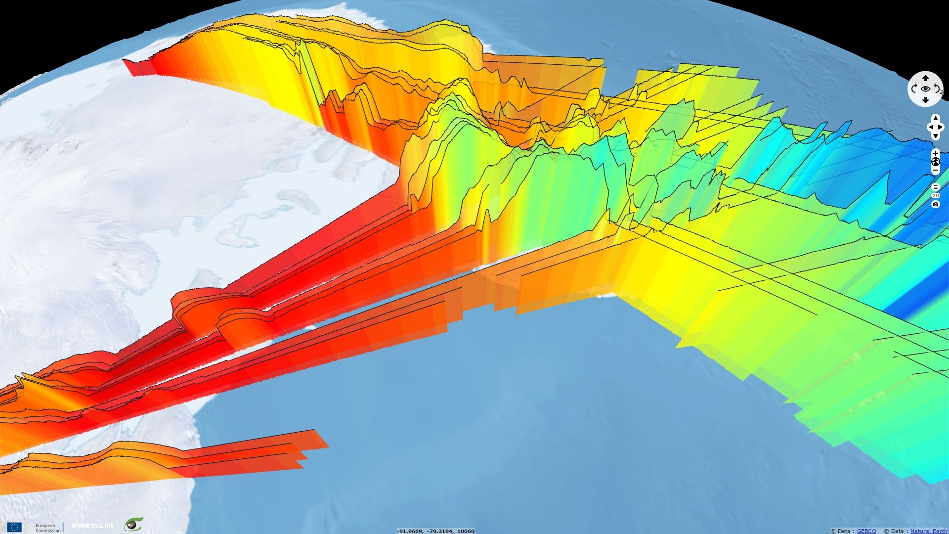
SRAL profiling Antarctica Peninsula
Sentinel-3 SRAL LAND acquired on 20 November 2016 at 03:42:28 UTC
...
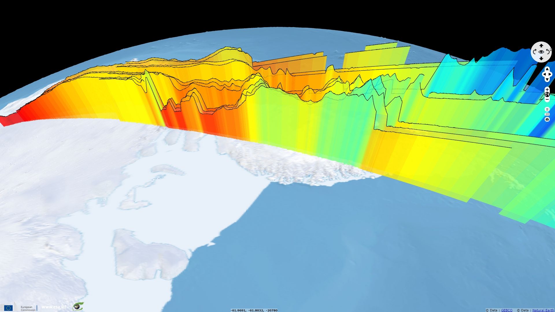
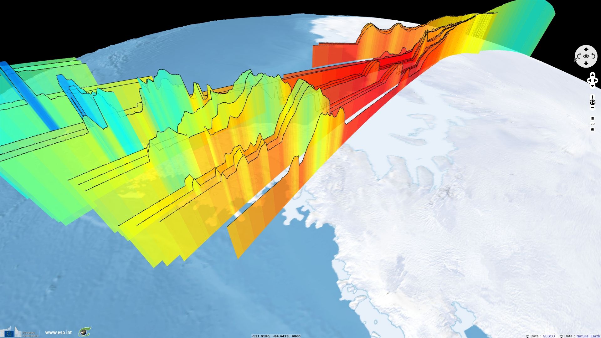
Sentinel-3 SRAL LAND acquired on 20 December 2016 at 12:23:03 UTC
...
Sentinel-3 SRAL LAND acquired on 20 December 2016 at 12:23:03 UTC
Keyword(s): climate change, coastal, polar, sea ice, land ice, altimetry, range, cryosphere, Antarctica Peninsula
The views expressed herein can in no way be taken to reflect the official opinion of the European Space Agency or the European Union.
Contains modified Copernicus Sentinel data 2026, processed by VisioTerra.
Contains modified Copernicus Sentinel data 2026, processed by VisioTerra.
| More on European Commission space: |  |
 |
 |
||||
| More on ESA: | |
|
|
S-1 website | S-2 website | S-3 website | |
| More on Copernicus program: | |
|
|
Scihub portal | Cophub portal | Inthub portal | Colhub portal |
| More on VisioTerra: | |
|
|
Sentinel Vision Portal | Envisat+ERS portal | Swarm+GOCE portal | CryoSat portal |