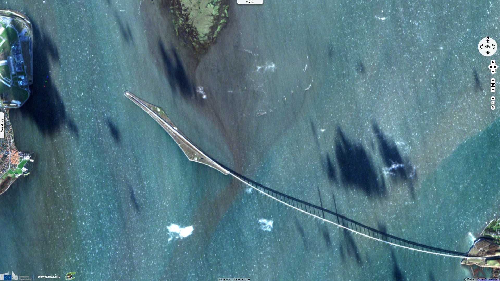
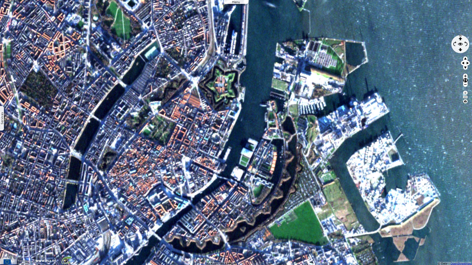
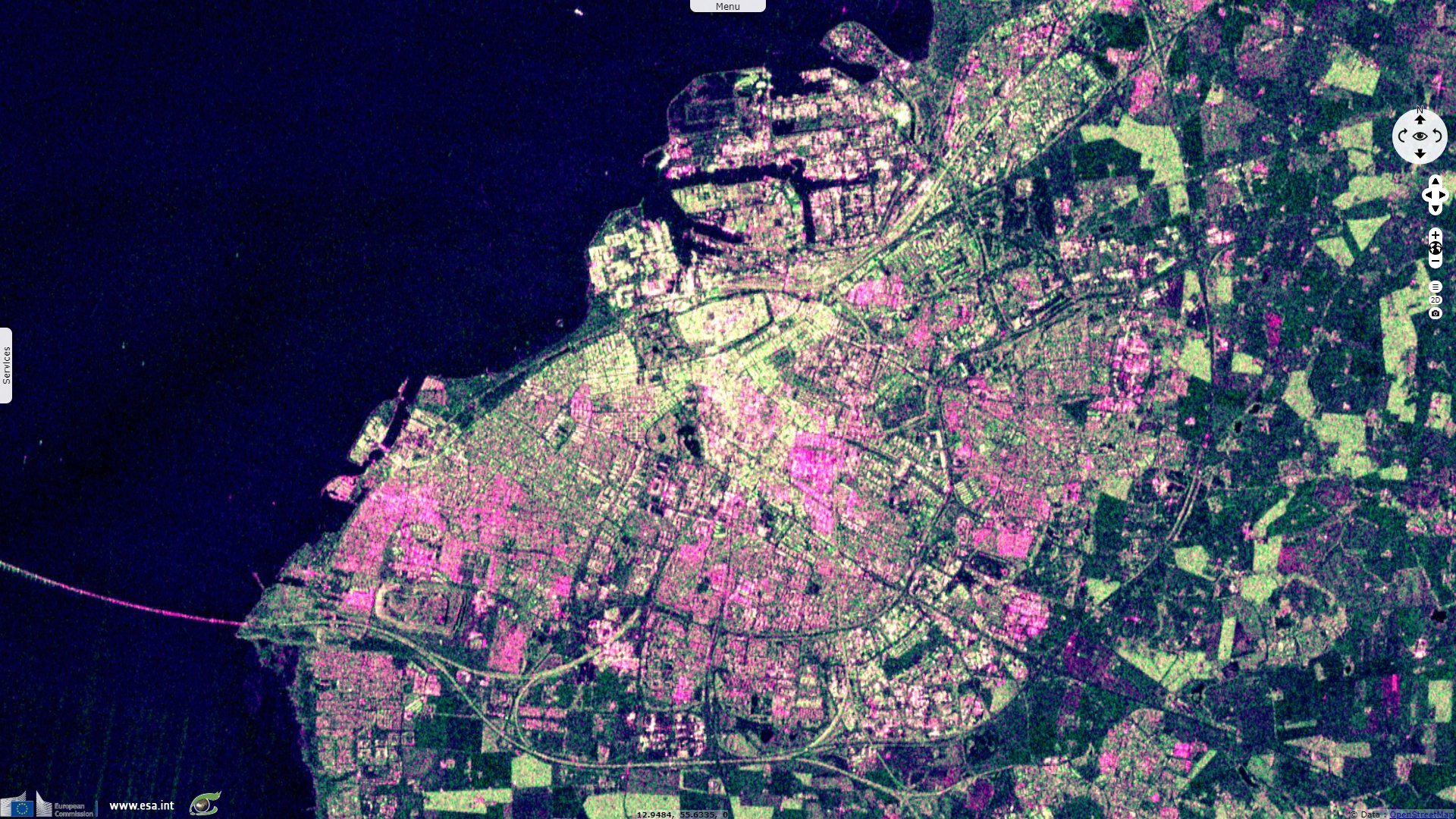
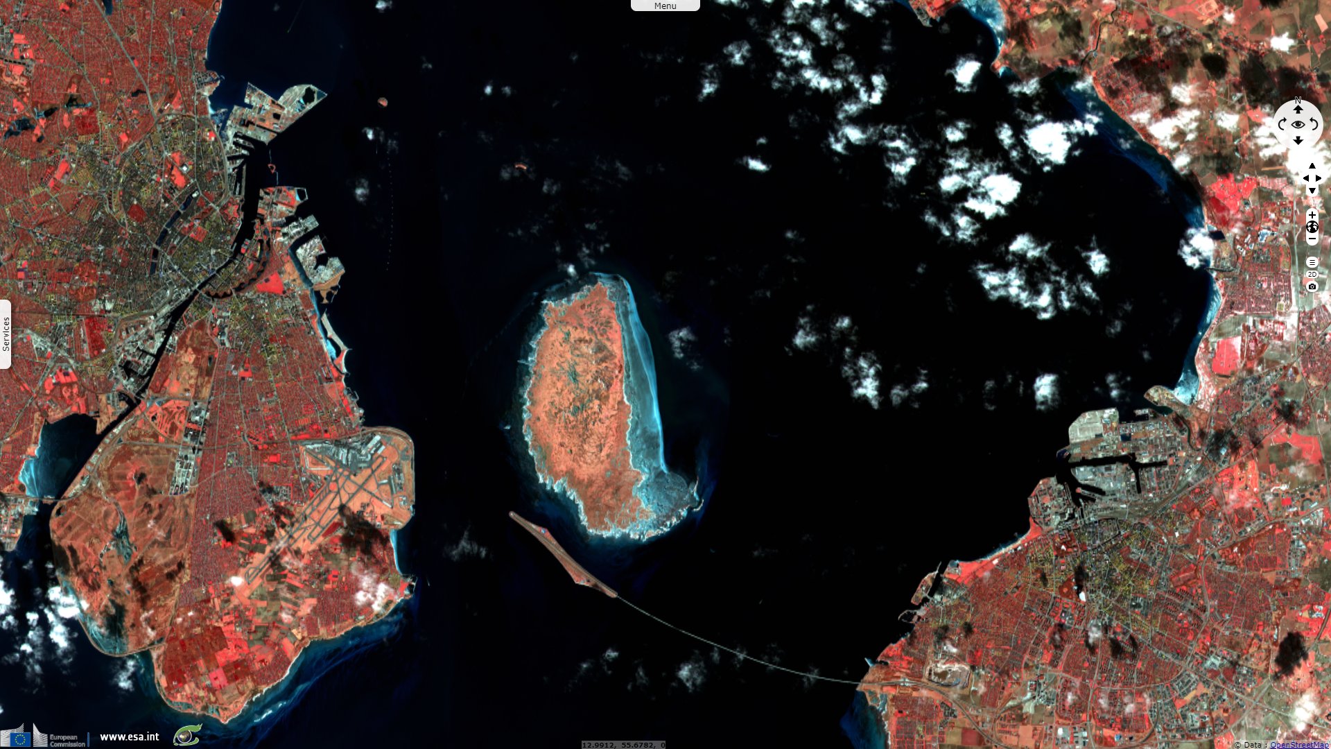
Oresund, a bridge between Denmark and Sweden
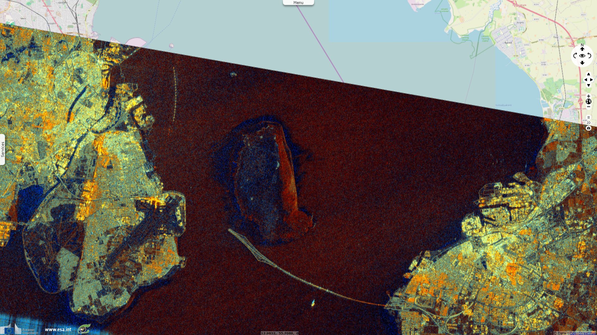
Sentinel-1 CSAR IW acquired on 18 March 2018 at 05:24:27 UTC
Sentinel-2 MSI acquired on 18 March 2018 at 10:20:19 UTC
Sentinel-1 CSAR IW acquired on 29 May 2018 at 05:24:30 UTC
Sentinel-2 MSI acquired on 02 January 2019 at 10:24:29 UTC
Sentinel-2 MSI acquired on 18 March 2018 at 10:20:19 UTC
Sentinel-1 CSAR IW acquired on 29 May 2018 at 05:24:30 UTC
Sentinel-2 MSI acquired on 02 January 2019 at 10:24:29 UTC
Keyword(s): Urban planning, infrastructure, railway, road network, marine traffic, Denmark, Sweden, Baltic Sea, North Sea
Oresund Strait formed only ~8000 years ago as a result of rising sea levels after the ice age, it connected the North Sea to a large fresh water lake.
Construction began in 1995, with the bridge opening to traffic on 1 July 2000. The tunnel was built to avoid interfering with air traffic from Copenhagen Kastrup Airport, to provide a clear channel for tall ships no matter the weather, and to prevent ice floes from blocking the strait by aggregating along the bridge piers
The 4km long artificial island Peberholm in the middle of the strait connects the brige to the tunnel. It was built to protect the biodiversity of Saltholm island located just north from the nuisance caused by the traffic.
The views expressed herein can in no way be taken to reflect the official opinion of the European Space Agency or the European Union.
Contains modified Copernicus Sentinel data 2026, processed by VisioTerra.
Contains modified Copernicus Sentinel data 2026, processed by VisioTerra.
| More on European Commission space: |  |
 |
 |
||||
| More on ESA: | |
|
|
S-1 website | S-2 website | S-3 website | |
| More on Copernicus program: | |
|
|
Scihub portal | Cophub portal | Inthub portal | Colhub portal |
| More on VisioTerra: | |
|
|
Sentinel Vision Portal | Envisat+ERS portal | Swarm+GOCE portal | CryoSat portal |