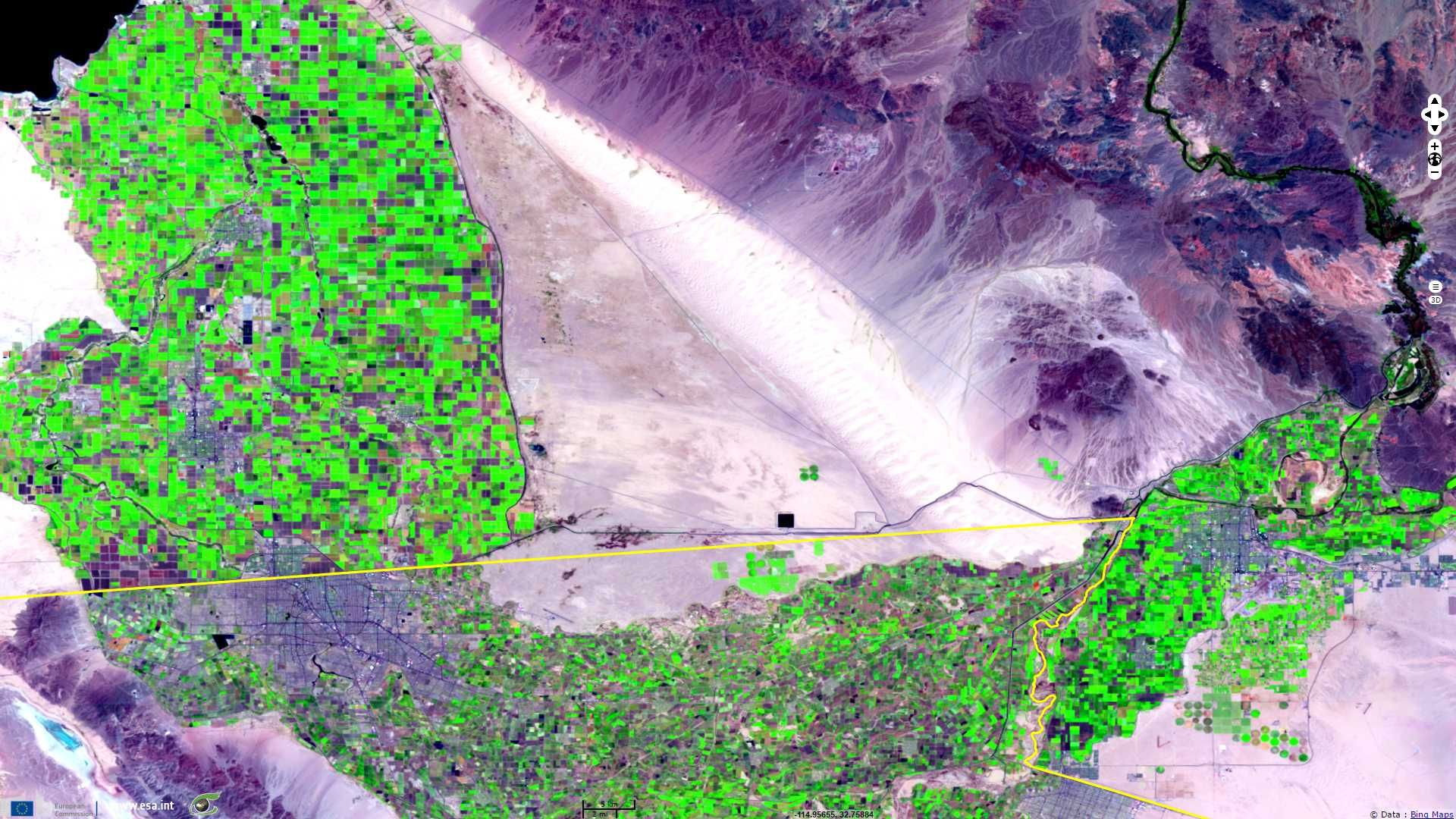
US-Mexico border
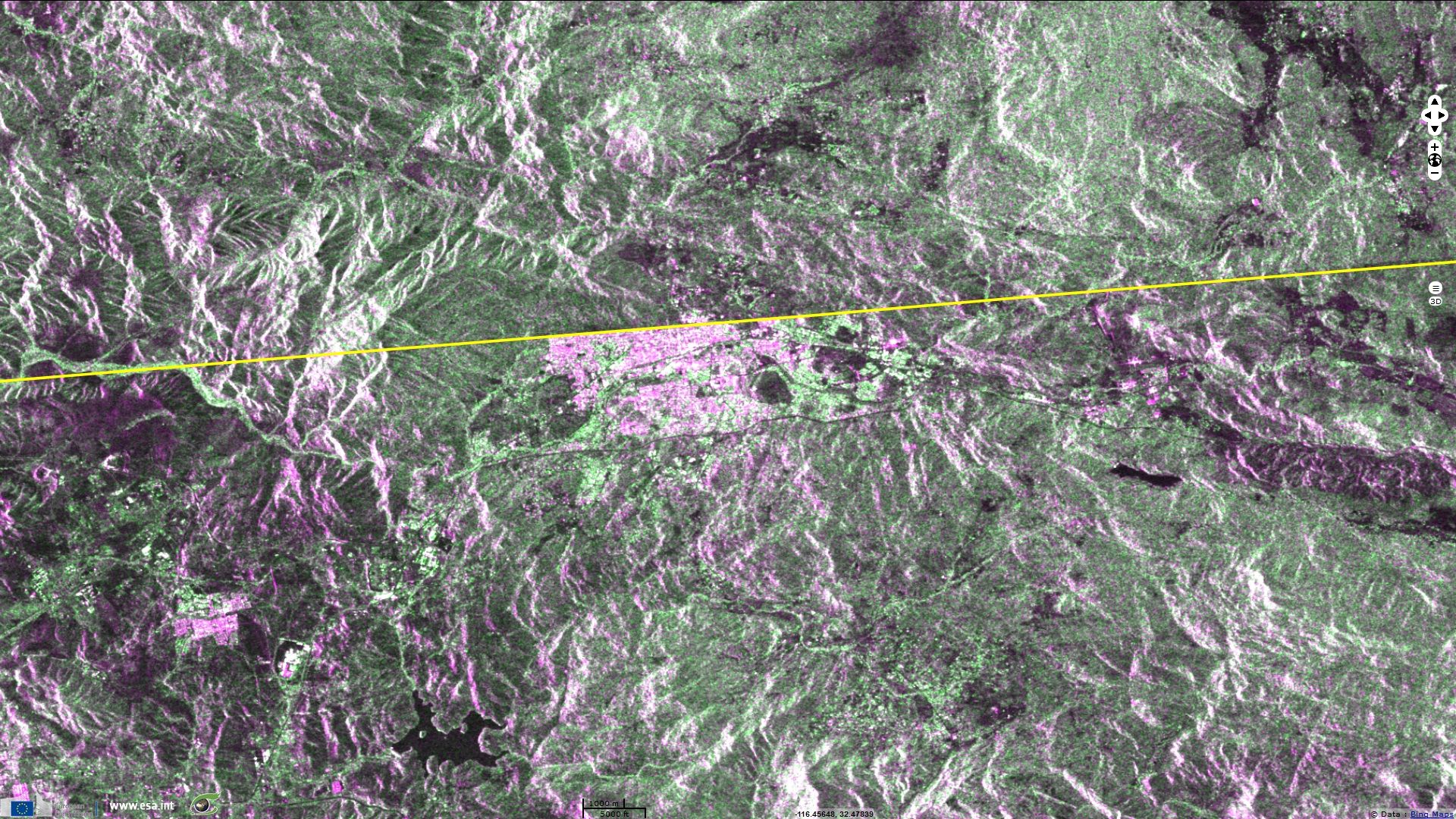
Sentinel-1 CSAR IW acquired on 18 August 2015 at 01:49:11 UTC
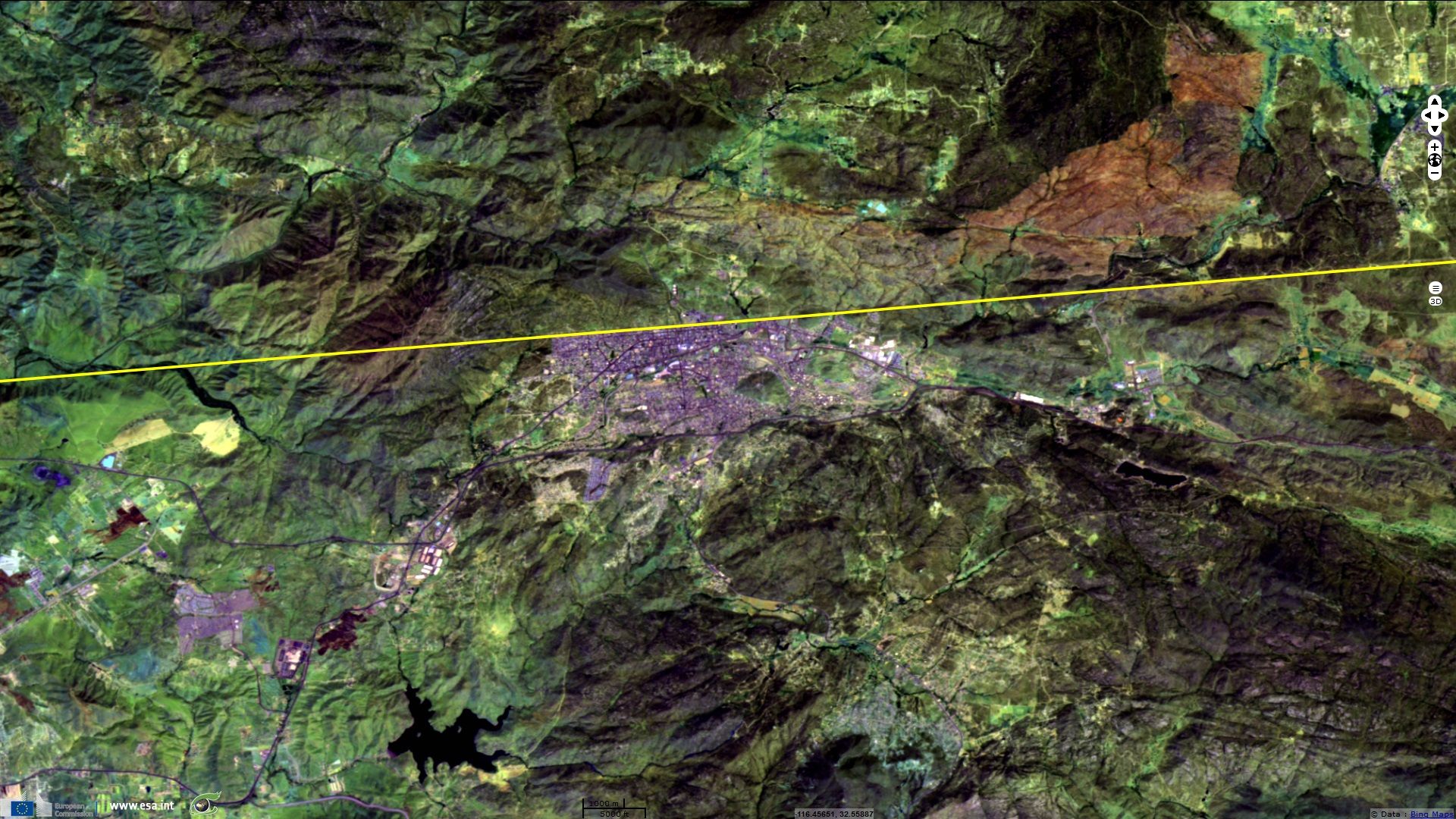
Sentinel-2 MSI (4 tiles) acquired on 01 May 2017 at 18:33:11 UTC
Sentinel-2 MSI (1 tile) acquired on 04 May 2017 at 18:29:21 UTC
Sentinel-2 MSI (4 tiles) acquired on 01 May 2017 at 18:33:11 UTC
Sentinel-2 MSI (1 tile) acquired on 04 May 2017 at 18:29:21 UTC
Keyword(s): United States, Mexico, border, wall, California, immigration, land cover, land use, vegetation, irrigation, urban
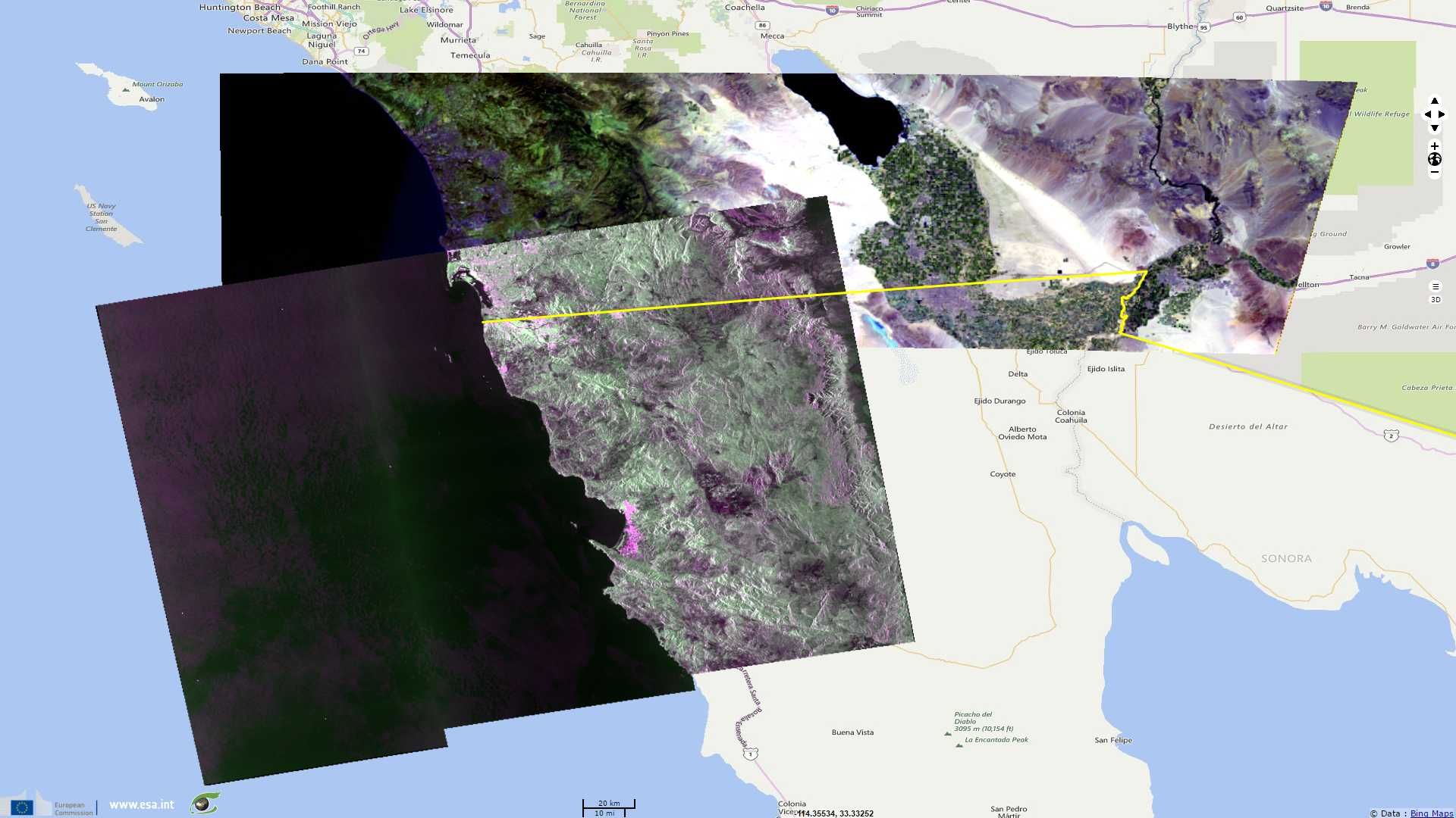
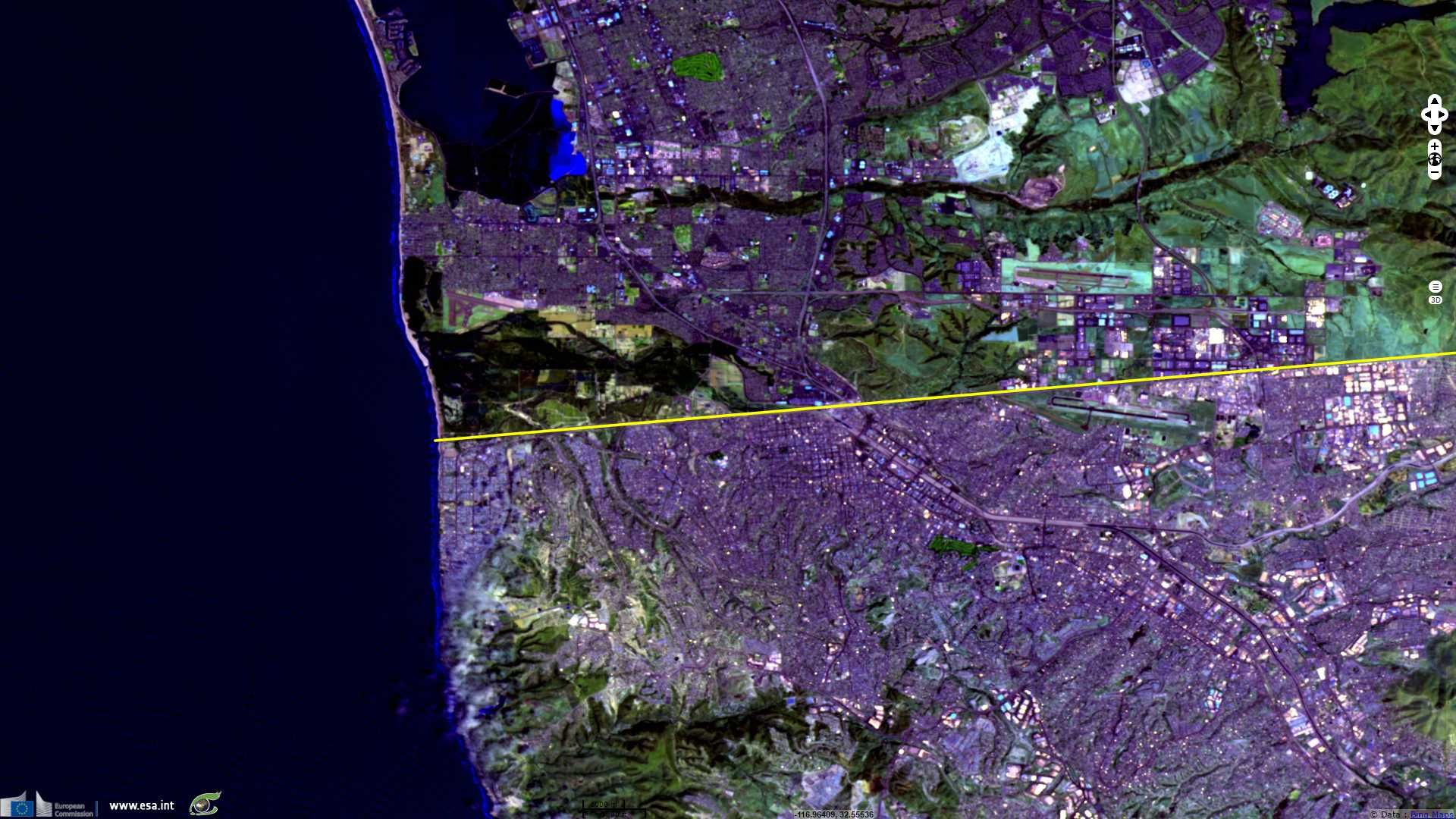
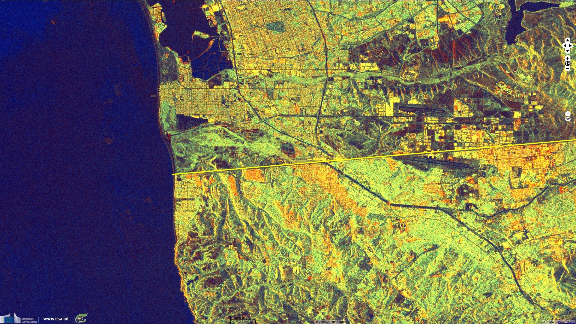
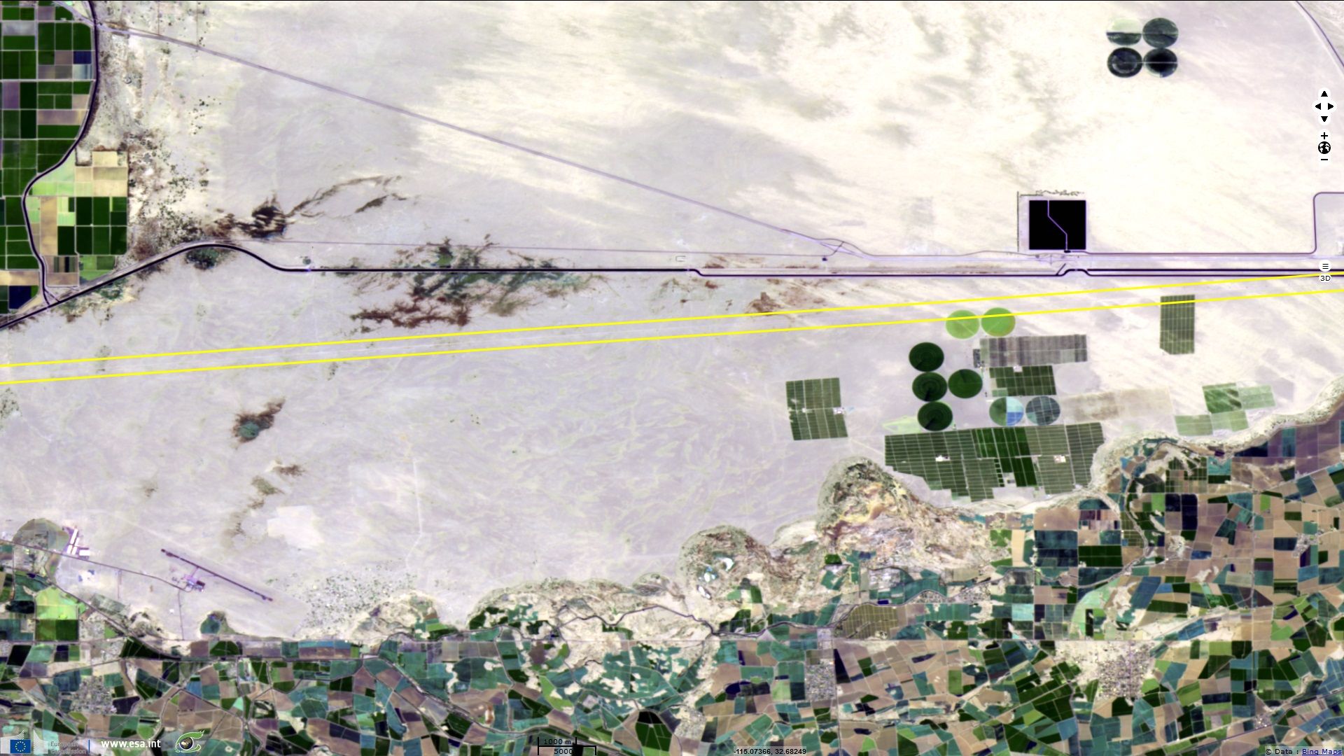
The Mexico–United States border is an international border separating Mexico and the United States. The border extends from the Pacific Ocean in the West to the Gulf of Mexico to the East and traverses a variety of terrains, ranging from major urban areas to uninhabitable deserts. As of 2010 approximately 350 million legal crossings occur annually, and is the most frequently crossed border in the world.
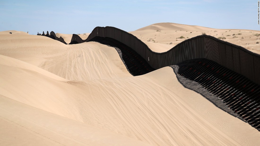
According to National Geographic: "The border between the United States and Mexico stretches 3,145 kilometers (1,954 miles). One of the most strongly fortified areas of the border separates the urban areas of San Diego, in the U.S. state of California, and Tijuana, in the Mexican state of Baja California. Here, the border is marked with double and even triple fencing. The first fence, pictured above, is about 3 meters (10 feet) tall, and made of thick metal plates. The second fence, behind the first one, reaches 4.5 meters (15 feet). The top is angled inward, with barbed wire at the top. In some areas, there is a smaller chain-link fence behind the second one. In between the fences is "no-man's land," an area that the U.S. Border Patrol monitors with bright lights, armored trucks, and cameras.
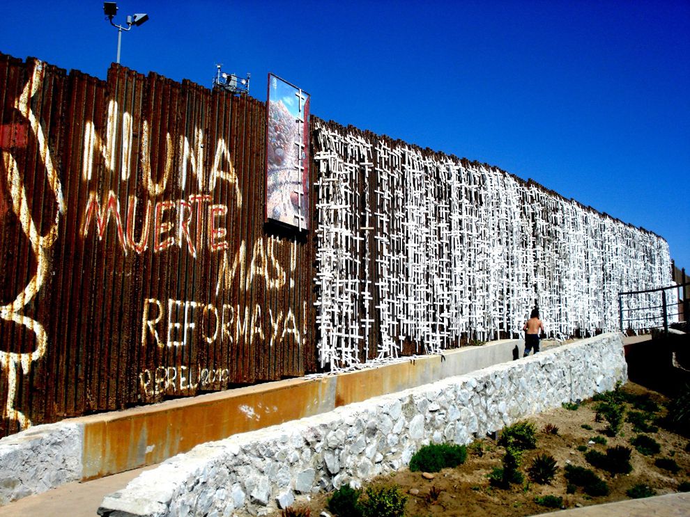
National Geographic comments: "Crossing the border near Tijuana-San Diego is dangerous. The crosses in this photograph represent the hundreds of men, women, and children who have died in the area while trying to reach the United States.
Most immigrant deaths in the Tijuana-San Diego area are due to exposure. Exposure is simply being exposed to severe weather. The Sonoran Desert receives very little precipitation. It is very hot during the day, with few trees to provide shade. The desert is also very cold at night. Immigrants who are not prepared with adequate water, protection from the sun, and warm clothing are at risk for dehydration, heat stroke, or hypothermia.
The phrase "Ni Una Muerte Mas! Reforma Ya!" means "Not one more death! Reform now!" It is the slogan of Border Angels, a nonprofit organization focused on American immigration reform and reducing the number of immigrant deaths in the Tijuana-San Diego area.
A comparison of economic statistics between Mexico and United States is given by NationMaster.
The views expressed herein can in no way be taken to reflect the official opinion of the European Space Agency or the European Union.
Contains modified Copernicus Sentinel data 2026, processed by VisioTerra.
Contains modified Copernicus Sentinel data 2026, processed by VisioTerra.
| More on European Commission space: |  |
 |
 |
||||
| More on ESA: | |
|
|
S-1 website | S-2 website | S-3 website | |
| More on Copernicus program: | |
|
|
Scihub portal | Cophub portal | Inthub portal | Colhub portal |
| More on VisioTerra: | |
|
|
Sentinel Vision Portal | Envisat+ERS portal | Swarm+GOCE portal | CryoSat portal |