Socotra Island, Yemen, Galapagos of the Indian Ocean
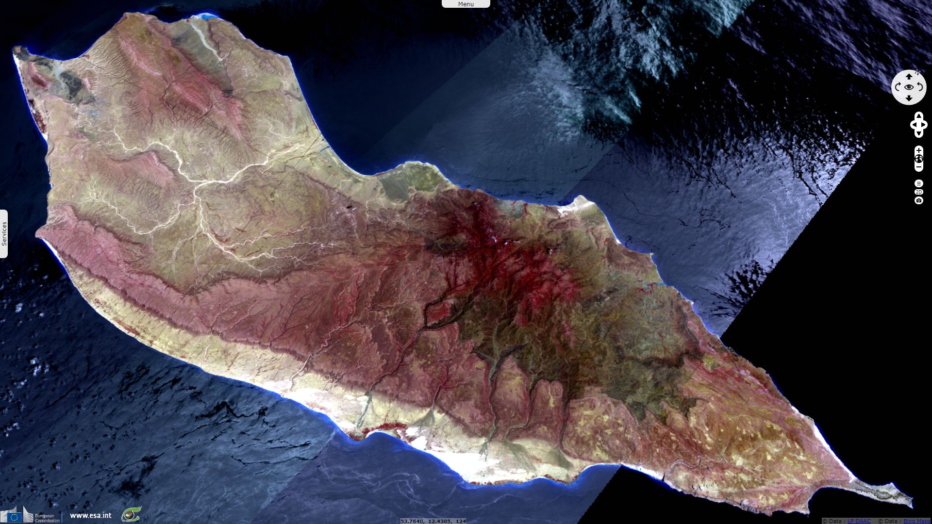
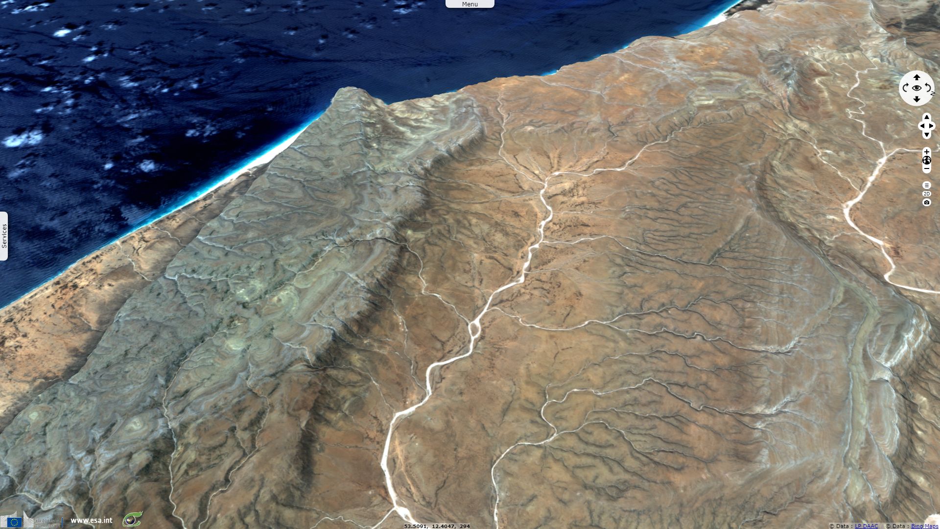
Sentinel-2 MSI acquired on 04 May 2018 at 06:46:19 UTC
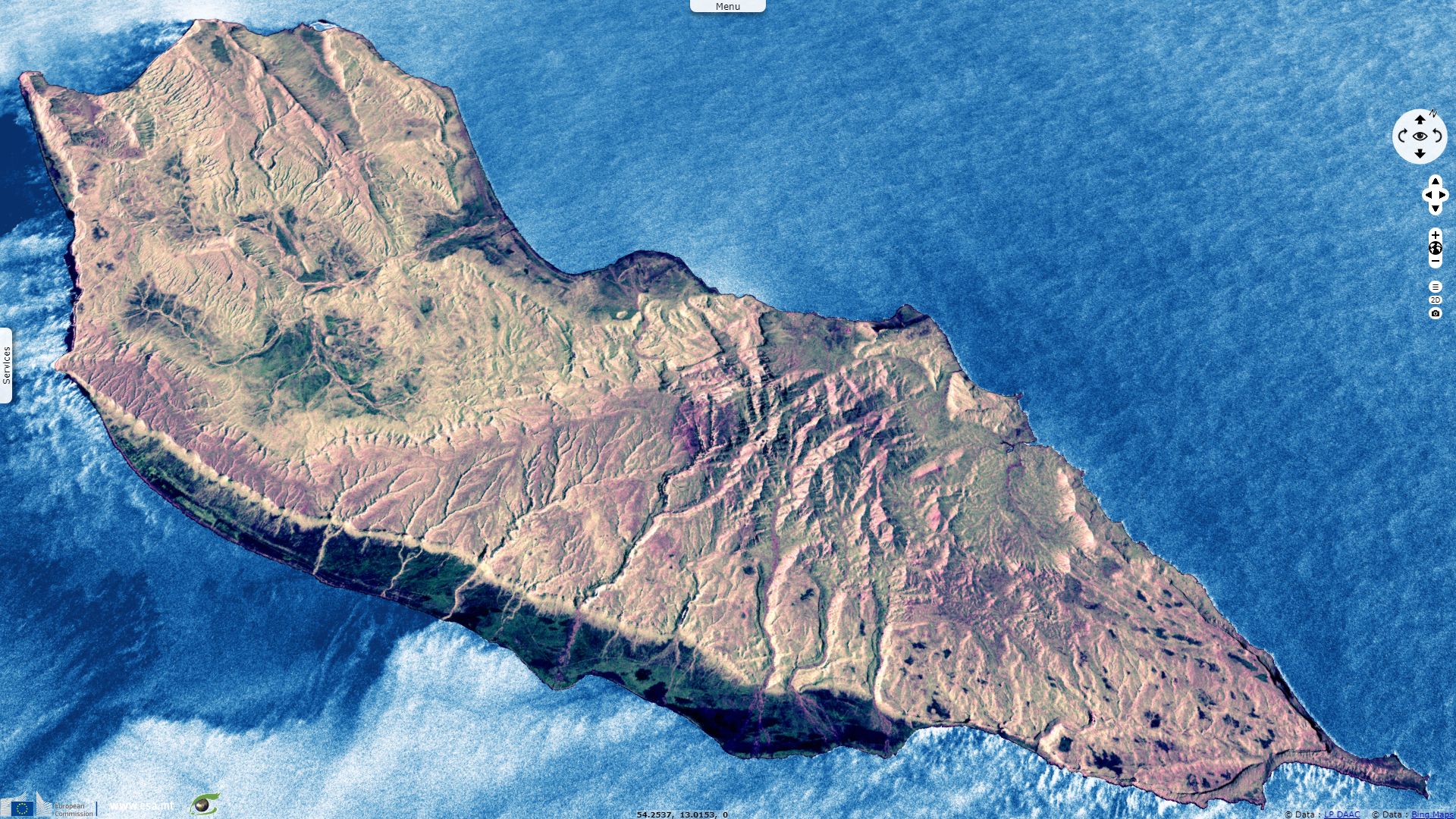
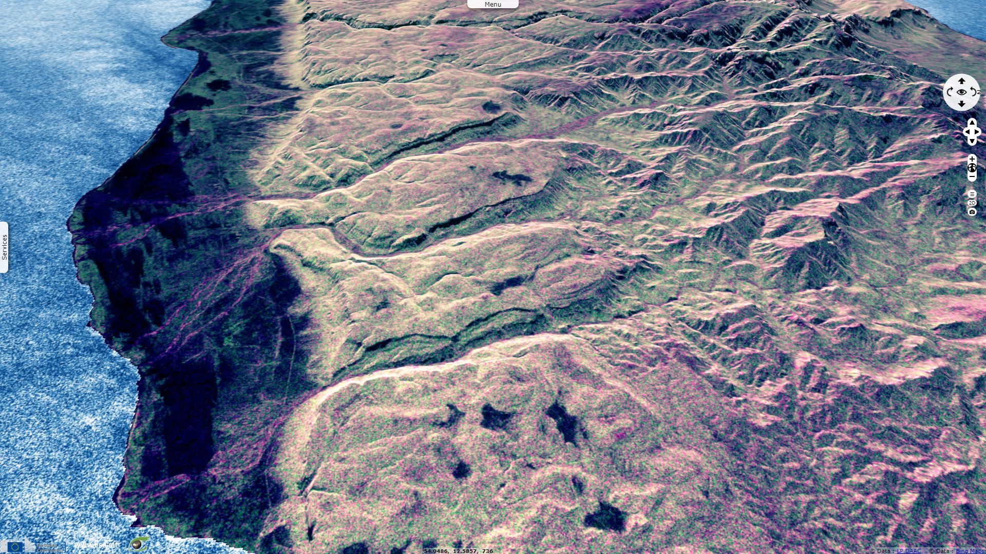
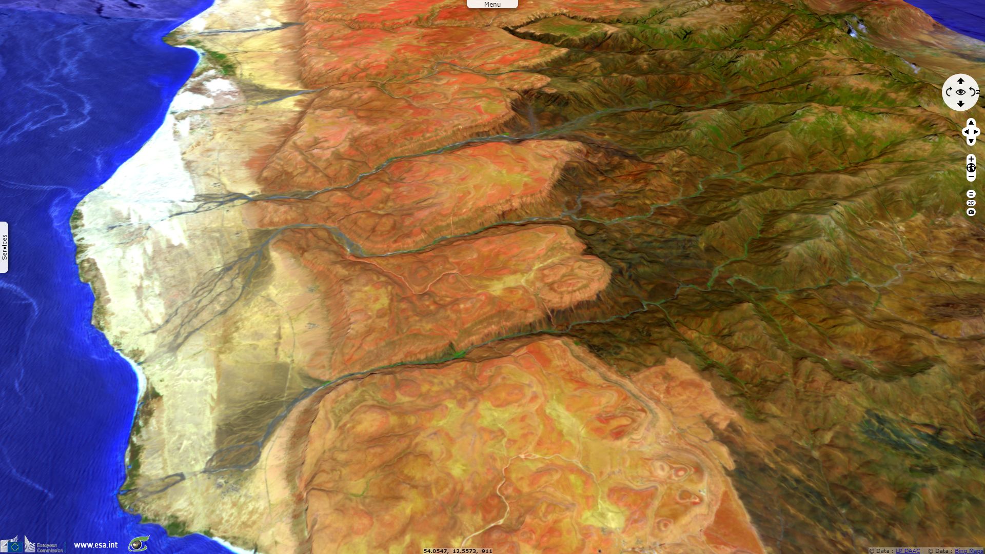
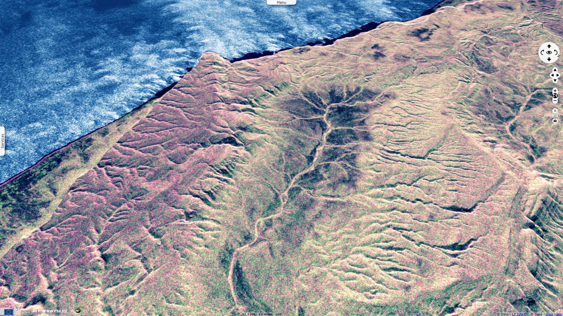
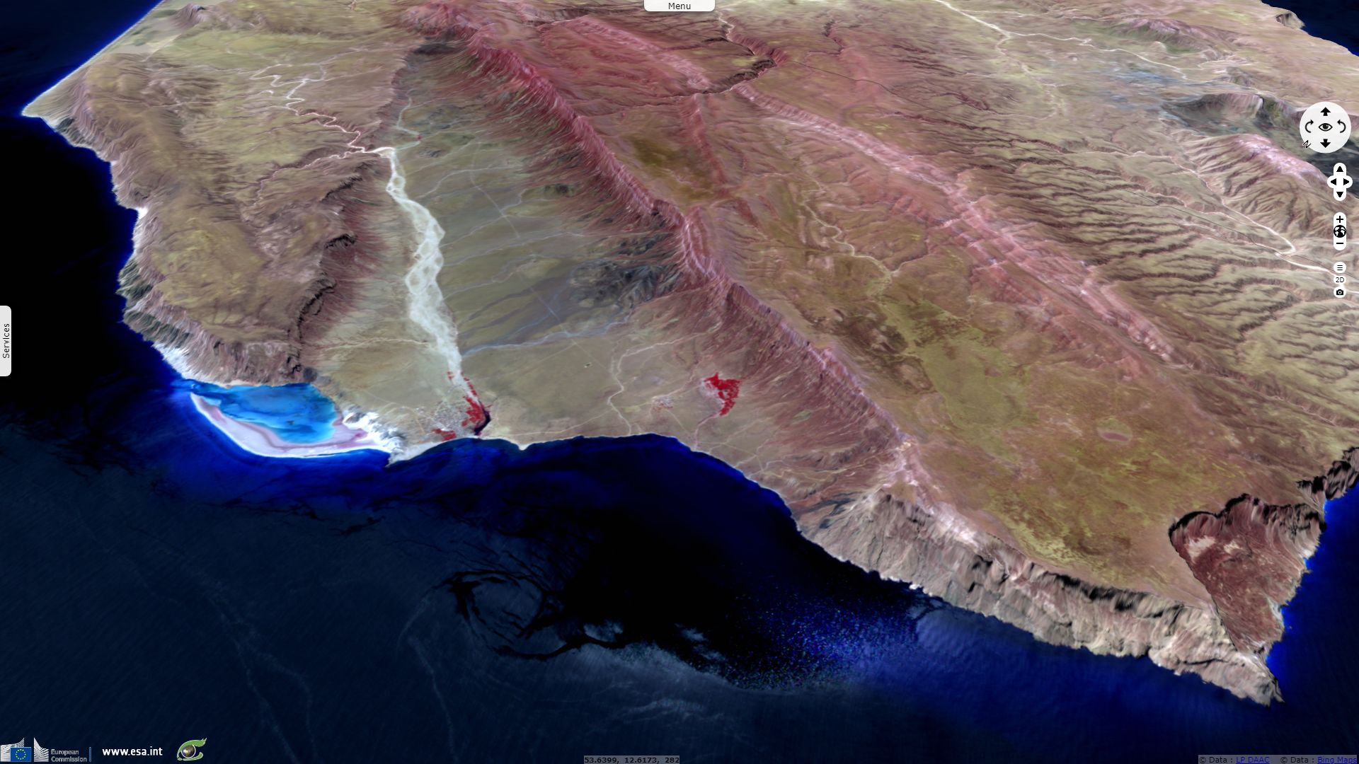
Sentinel-2 MSI acquired on 06 May 2018 at 06:36:31 UTC
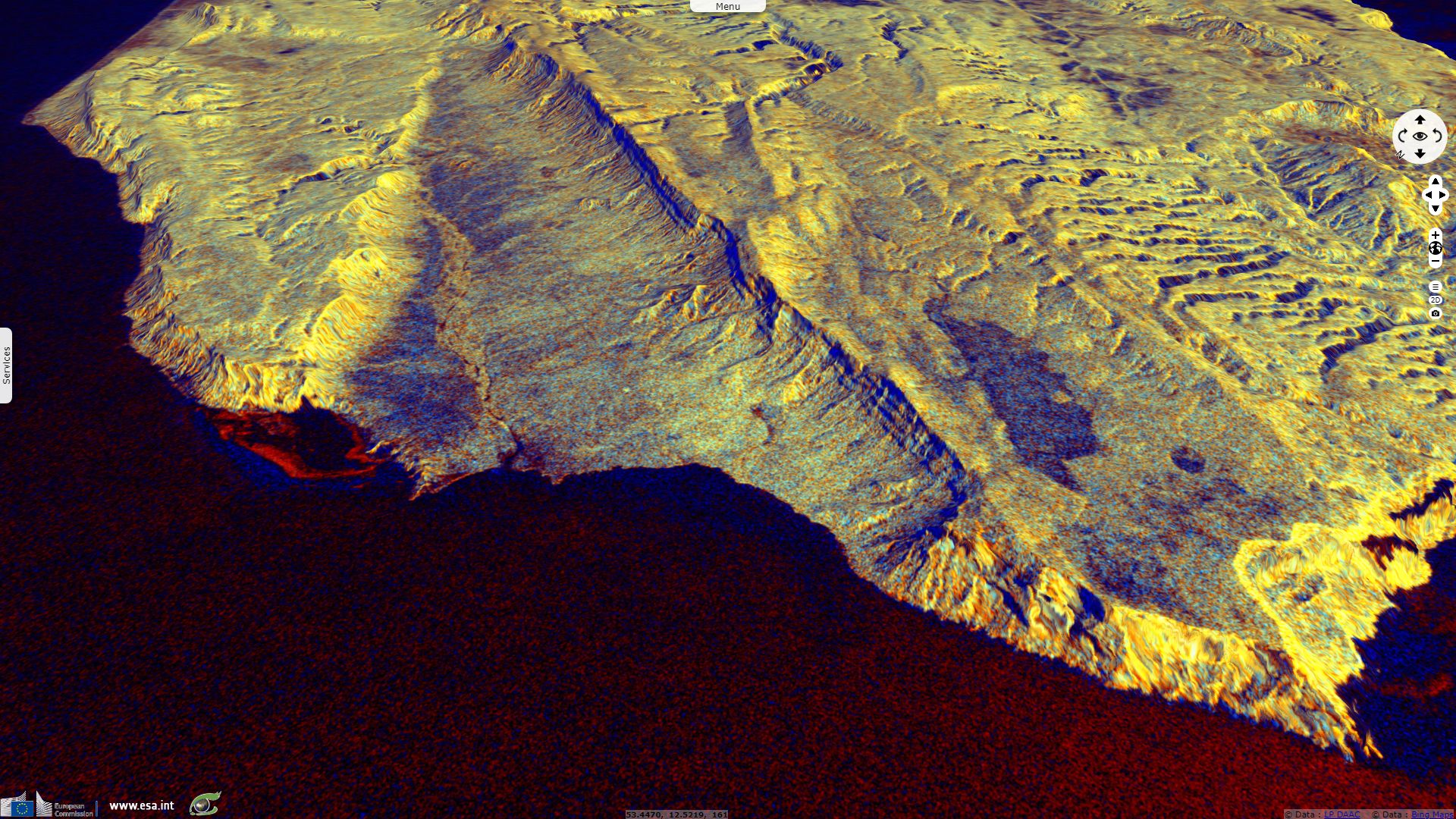
Sentinel-1 CSAR IW acquired on 06 February 2019 at 14:36:57 UTC
Sentinel-3 SRAL LAND acquired on 03 August 2019 at 06:13:42 UTC
Sentinel-3 SRAL LAND acquired on 20 August 2019 at 06:12:04 UTC
Sentinel-2 MSI acquired on 06 May 2018 at 06:36:31 UTC
Sentinel-1 CSAR IW acquired on 06 February 2019 at 14:36:57 UTC
Sentinel-3 SRAL LAND acquired on 03 August 2019 at 06:13:42 UTC
Sentinel-3 SRAL LAND acquired on 20 August 2019 at 06:12:04 UTC
Keyword(s): Archipelago, coastal, lagoon, canyon, hydrology, biodiversity, UNESCO World heritage site, Ramsar wetland
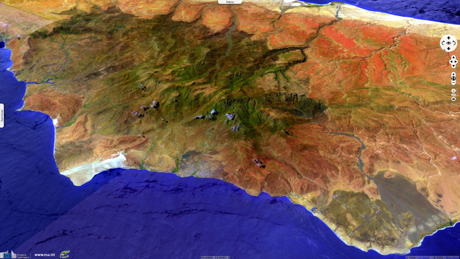
Socotra Island is a UNESCO World Heritage site in reason of its high biodiversity. UNESCO describes "the Galapagos of the Indian Ocean" in the following words: "Socotra is globally important for biodiversity conservation because of its exceptional level of biodiversity and endemism in many terrestrial and marine groups of organisms. Socotra is particularly important for its diversity of plants and has 825 plant species of which 307 (37%) are endemic. Socotra has high importance for bird species as underlined by the identification by Birdlife International of 22 Important Bird Areas on Socotra. Socotra also supports globally significant populations of other land and sea birds, including a number of threatened species. Extremely high levels of endemism occur in Socotra’s reptiles (34 species, 90% endemism) and land snails (96 species, 95% endemism). The marine life of Socotra is also very diverse, with 253 species of reef-building corals, 730 species of coastal fish and 300 species of crab, lobster and shrimp, and well represented in the property’s marine areas."


Views of Socotra topography - Source left: Mario Caruso, right: Jean-Jacques Gelbart.
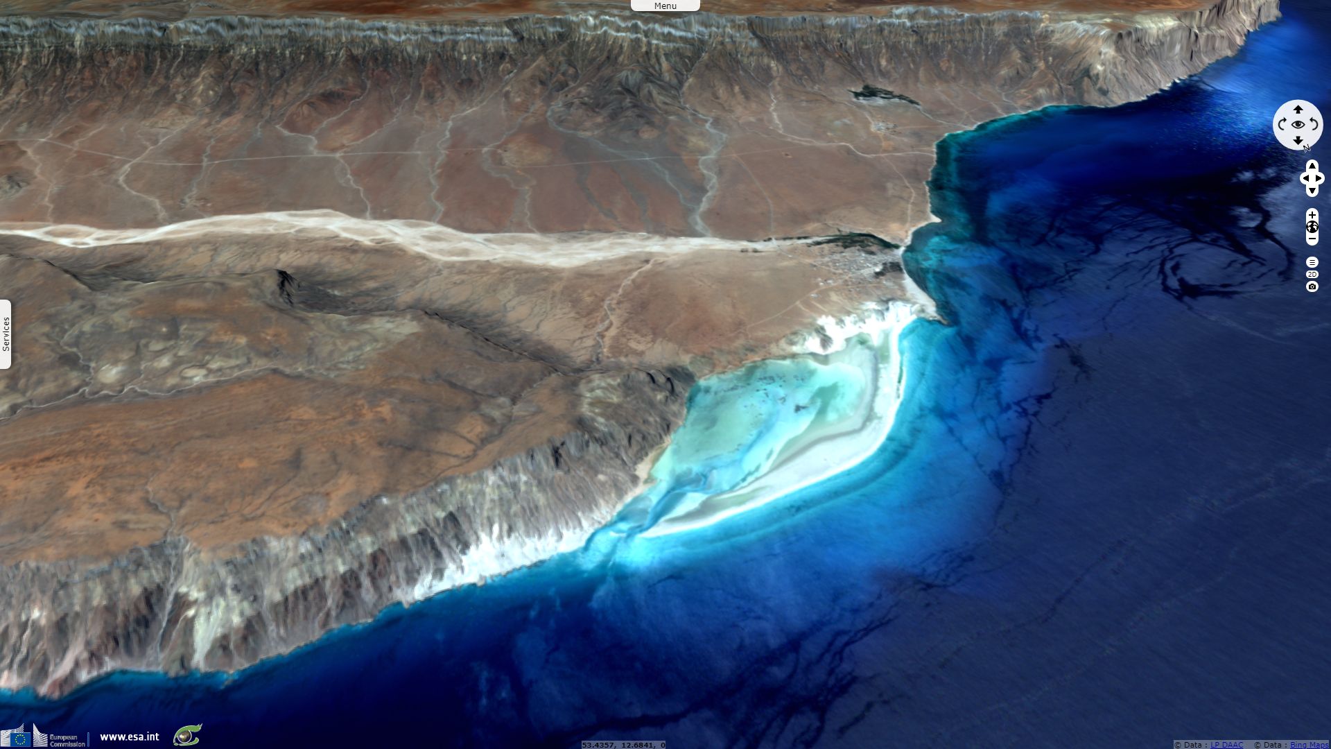
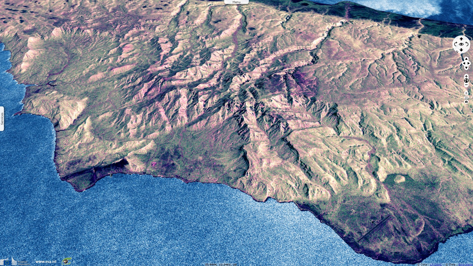
Socotra encompasses a small wetland at the north-east of the island, Detwah Lagoon, recognised by Ramsar for its international significance. Its sheet highlights this importance: "The site is a coastal lagoon on the northwestern side of Socotra Island, an island famously known as ‘a jewel of biodiversity’ in the Arabian Sea. Consisting of a tidal inlet open to the sea, it is surrounded by sand dunes and 400 m high limestone and granite cliffs. The relatively pristine sea grass habitat provides ideal refuge from predators, acting as a feeding area and shelter for juvenile fish, and it is the only site on the Island where the vulnerable Leopard Stingray Himantura uarnak and the near-threatened Bluespotted Ribbontail Ray Taeniura lymma have been recorded. It is considered an important roosting and feeding area for waterbirds, with 32 species recorded of which 10 are resident breeding species and 16 wintering species."
The views expressed herein can in no way be taken to reflect the official opinion of the European Space Agency or the European Union.
Contains modified Copernicus Sentinel data 2026, processed by VisioTerra.
Contains modified Copernicus Sentinel data 2026, processed by VisioTerra.
| More on European Commission space: |  |
 |
 |
||||
| More on ESA: | |
|
|
S-1 website | S-2 website | S-3 website | |
| More on Copernicus program: | |
|
|
Scihub portal | Cophub portal | Inthub portal | Colhub portal |
| More on VisioTerra: | |
|
|
Sentinel Vision Portal | Envisat+ERS portal | Swarm+GOCE portal | CryoSat portal |